Road Trip - 2nd half of Day 8 - Oregon

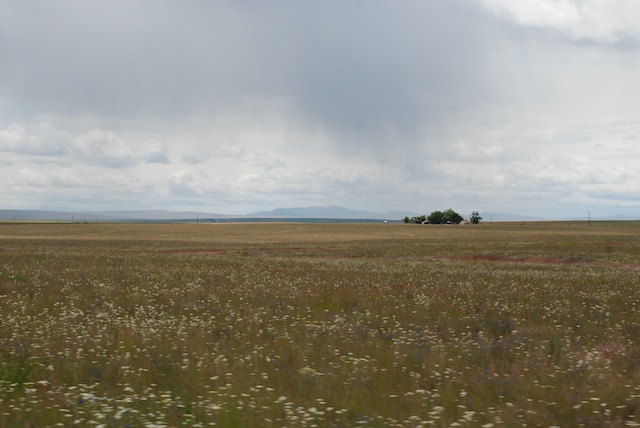
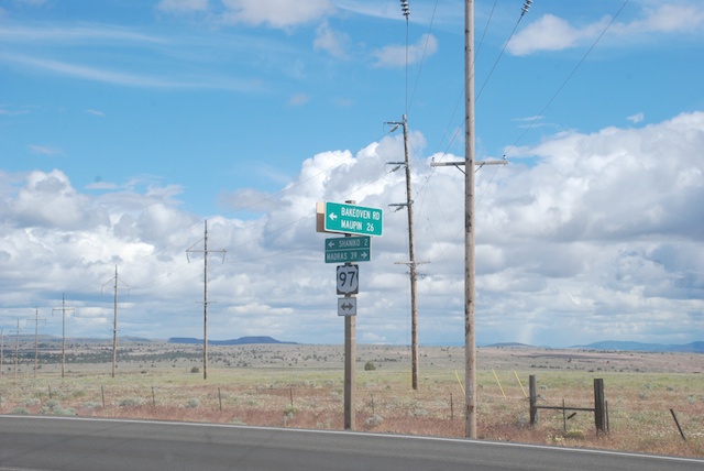
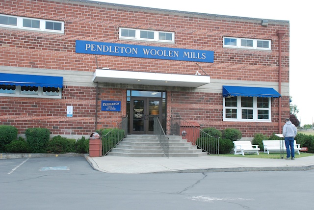
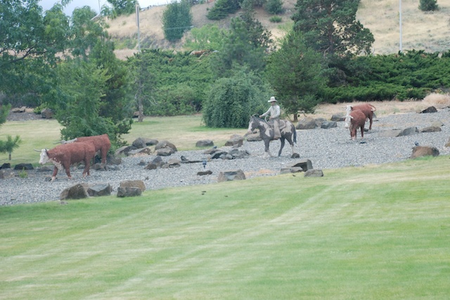
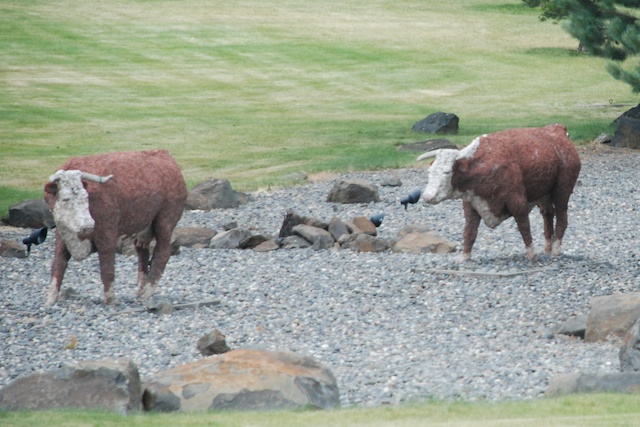
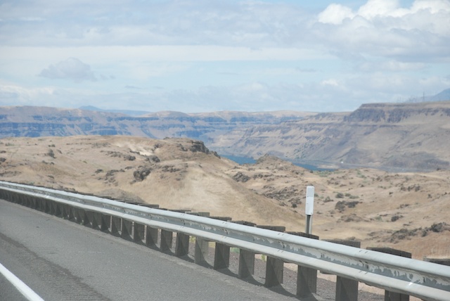
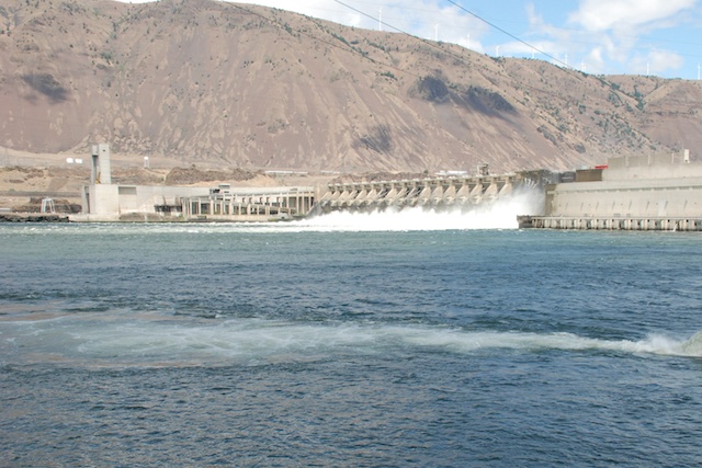
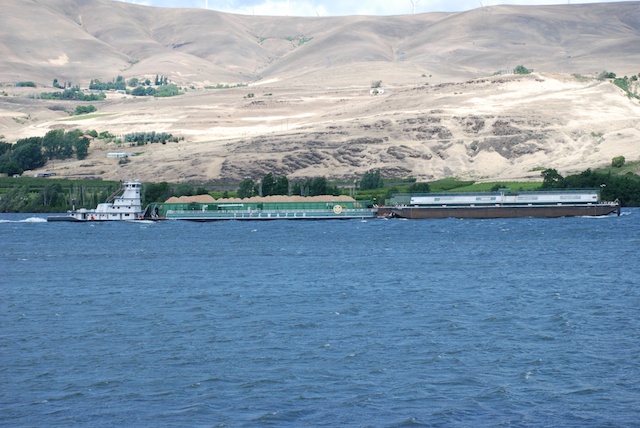
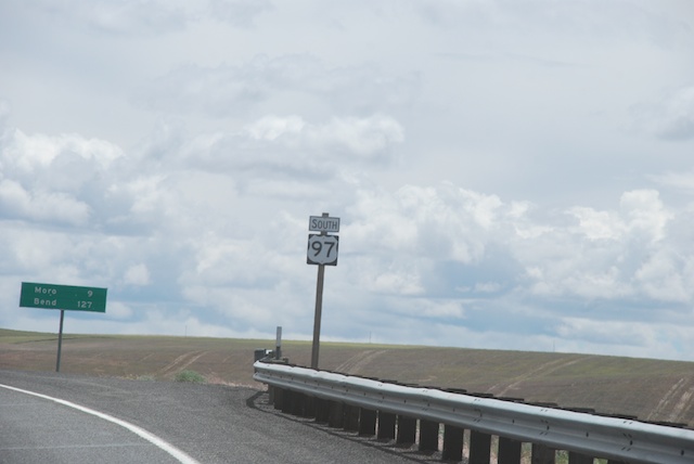
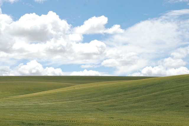
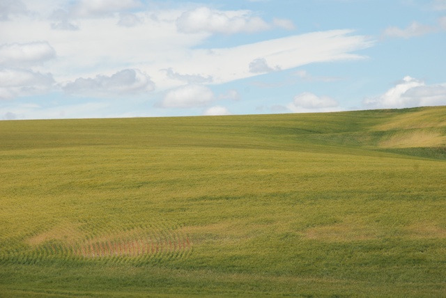
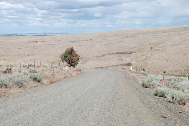
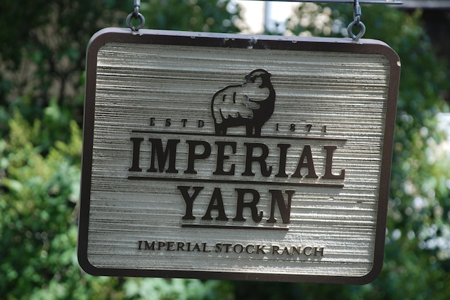
After touring Pendleton Woolen Mill we got on the road again. Just as we were getting on the freeway to head west we saw this scene:PendletonHerding cattle next to the freeway and across lawn? Look again.Pendleton These are beautifully made full-size sculptures.DSC_5105Not far from Pendleton Highway 84 meets up with and then follows the Columbia River. John Day Dam We followed the Columbia River. This is the John Day Lock and Dam.DSC_5120 In some places we saw windsurfers on the river, but elsewhere there were huge barges. I don't have photos but we also saw several bighorn sheep on the rocky cliffs just south of the highway in this area. DSC_5128We turned south onto Highway 97 which would take us all the way to California.DSC_5126 More stunning landscape, sky and wide, open spaces.DSC_5134 Rolling hills of wheat.DSC_5142 Isolated ranches and distant mountains. We passed the town of Shaniko (population of 36 at 2010 census) which was known in 1900 as the Wool Capitol of the World. The largest landowner at the time was R.R. Hinton who had first homesteaded in the 1870's and continued to purchase land until his Imperial Stock Ranch became the largest individually owned ranch in Oregon. The Imperial Stock Ranch eventually ran 35,000 head of sheep in 12-14 bands that would winter on the home ranch and be trailed to summer range on Forest Service land. Hinton was involved in breeding programs that led to the one of the first sheep breeds developed in the U.S., the large-framed, fine-wooled Columbia sheep, originating from Lincoln and Rambouillet ancestors.  The newly formed town of Shaniko (built as the railroad reached the area) was less than 15 miles from the Imperial Stock Ranch's headquarters,  and its wool warehouse shipped 4 million pounds of wool by rail in 1901.DSC_5166Imperial Stock Ranch is now owned by Dan and Jeannie Carver and they have developed the Imperial Yarn Company using Columbia wool produced on the ranch and elsewhere in the state. This is some of my favorite yarn in the shop and I have recently been using it to weave blankets. Since we were going to be driving through this part of Oregon I had asked if we could visit the ranch. The photo above is the road into the headquarters. DSC_5158
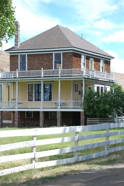
Keelia, lives on the ranch and was there to show us around the headquarters. This is the house built by R.R. Hinton, now headquarters of the Yarn Company.DSC_5160The headquarters complex has been entered into the National Register of Historic Places and the history of the buildings and the Hinton family are available for review.Silo
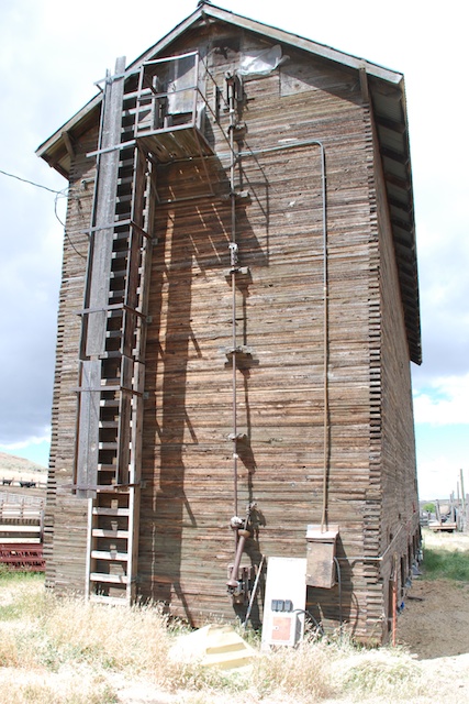
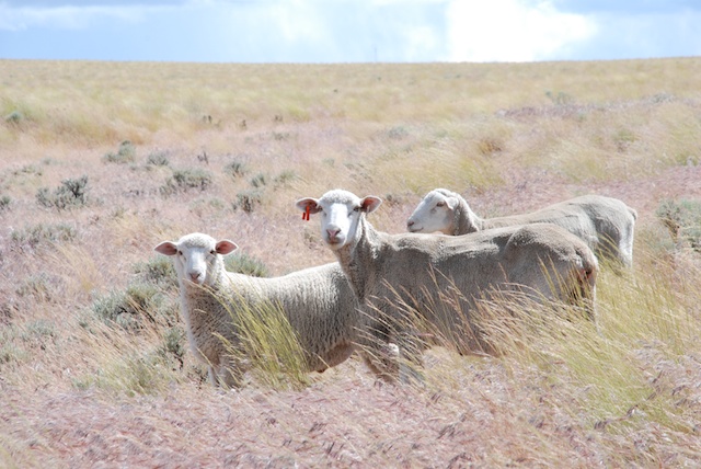
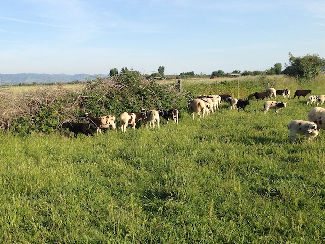
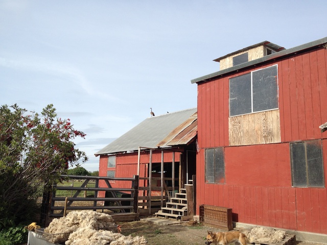
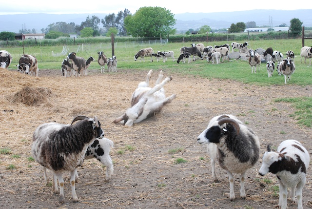
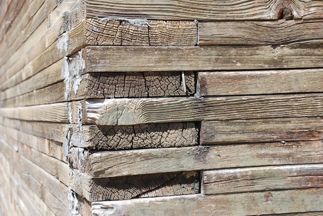
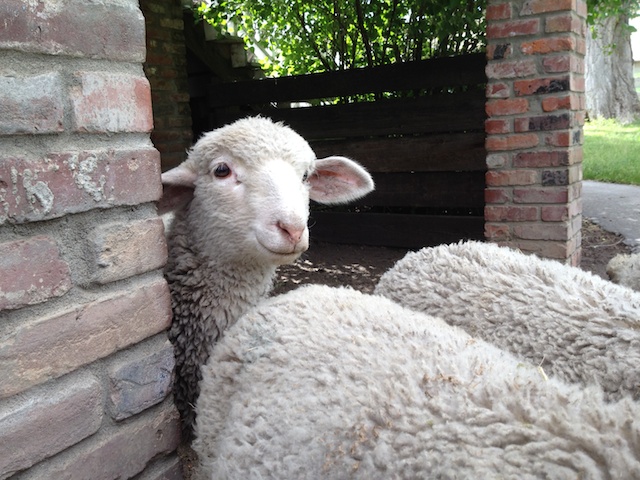
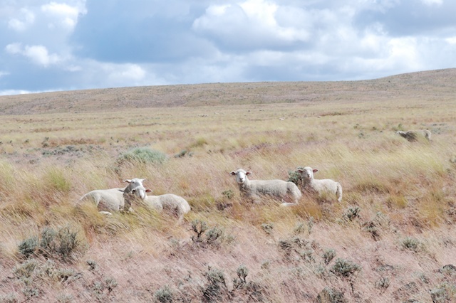
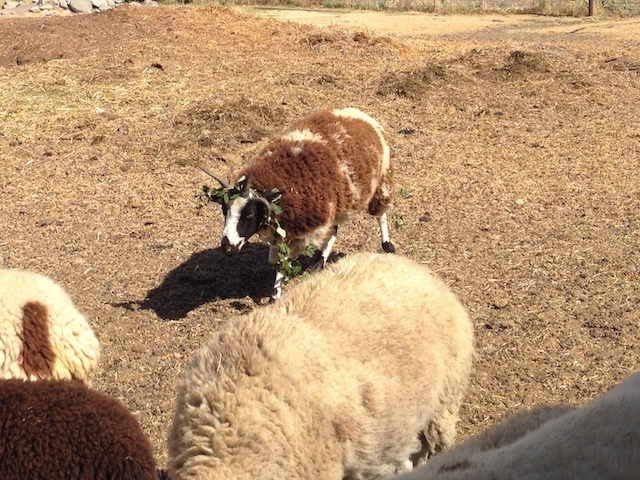
The grain silo. See the detail of the construction below. Silo This is one sturdy building.  We also saw the shearing shed and other buildings that are still in use.IMG_0095A few bottle lambs hand out under the house to greet visitors.DSC_5197 As we left the ranch headquarters some of the sheep were near enough the road to get some photographs of them in this majestic setting.DSC_5203DSC_5209DSC_5217Back on the road on the last leg of the trip.
Next post: California's scenery isn't too shabby either. Mt. Shasta and home.


Road Trip - Day 8 - Pendleton

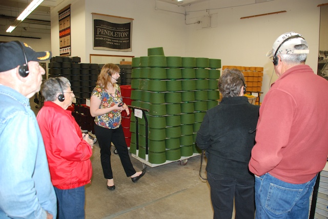
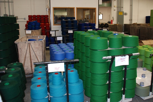
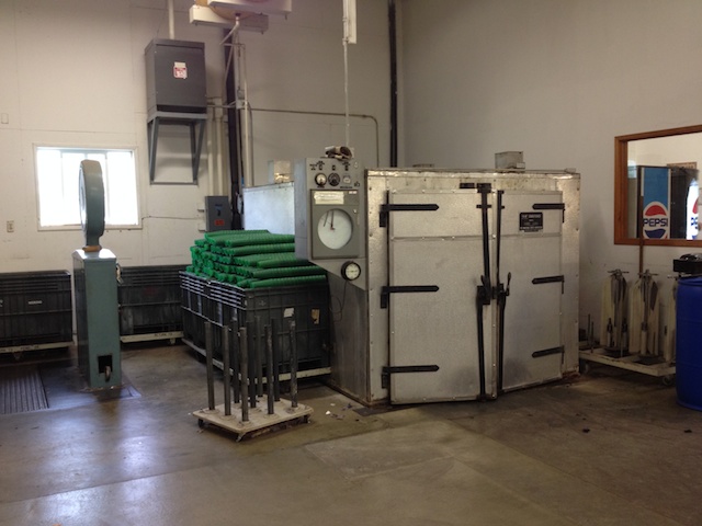
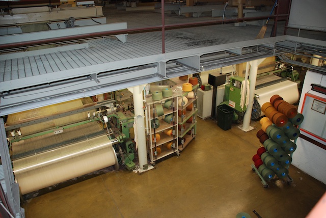
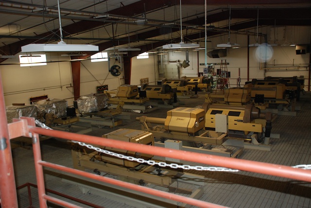
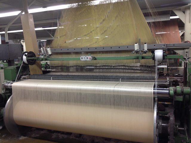
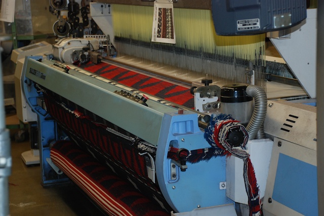
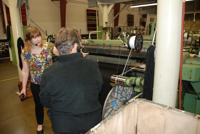
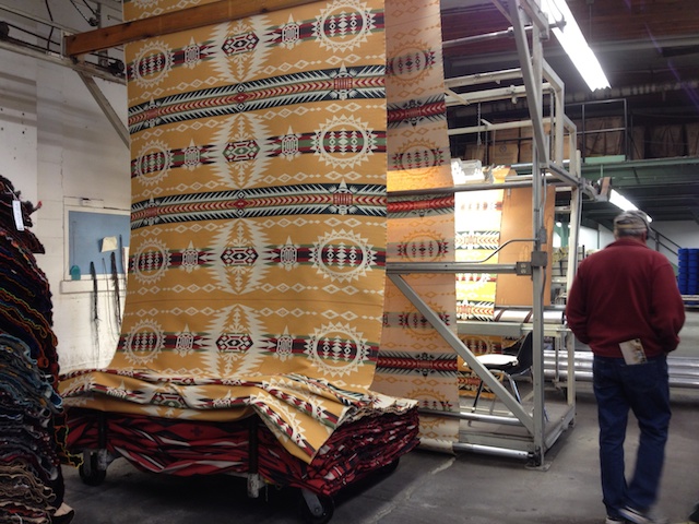
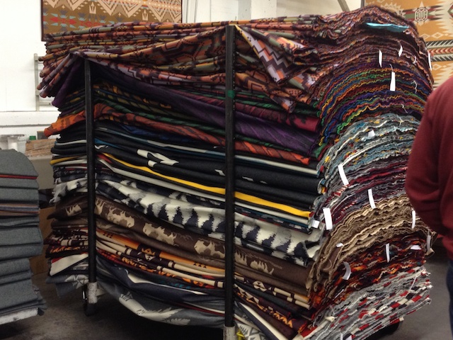
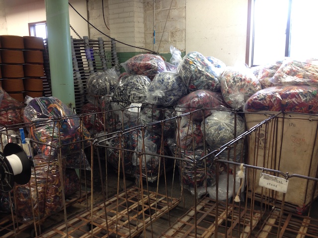
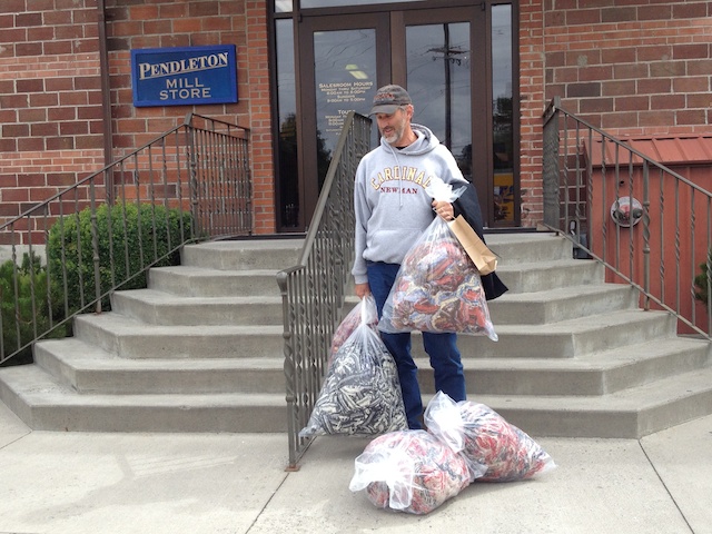
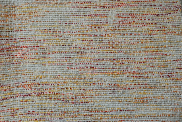
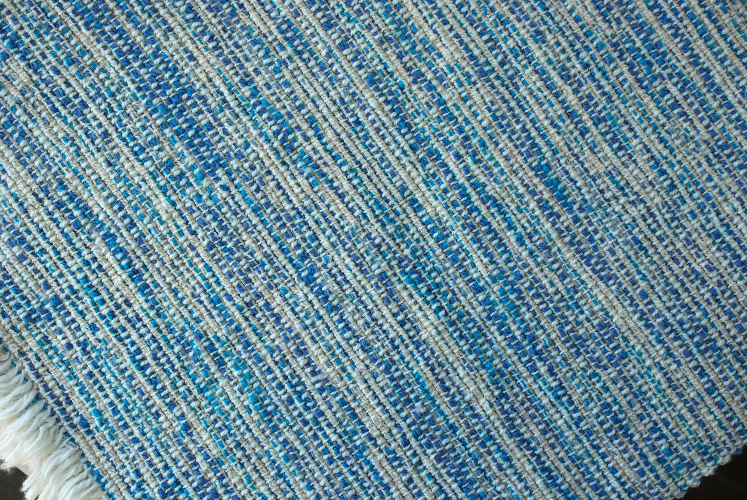
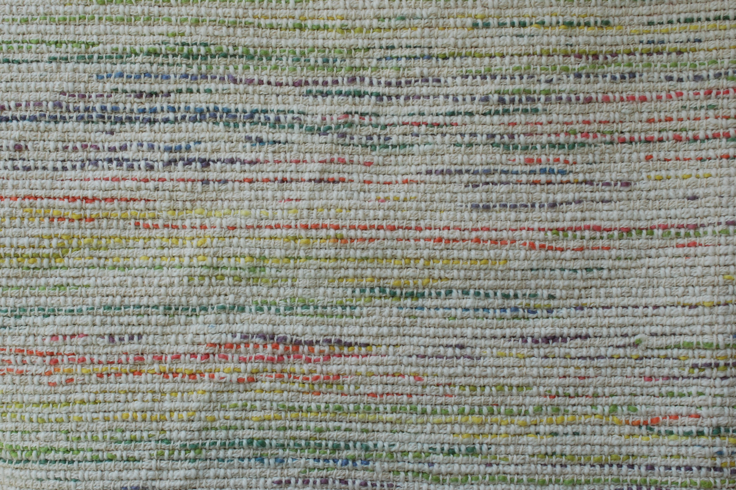
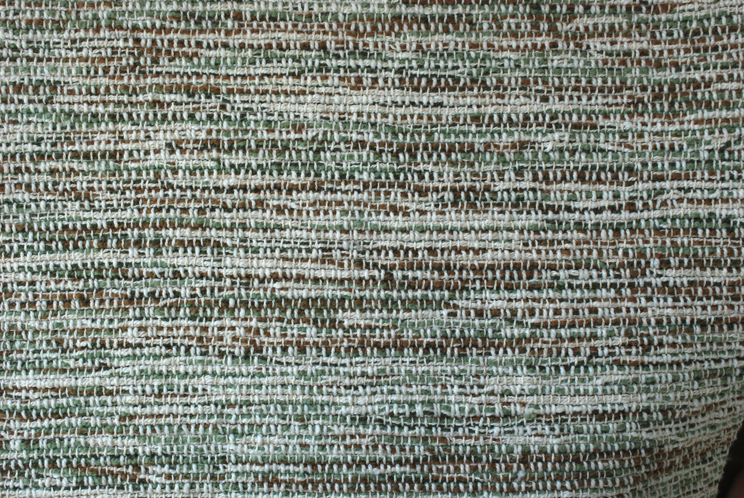
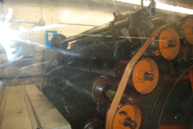
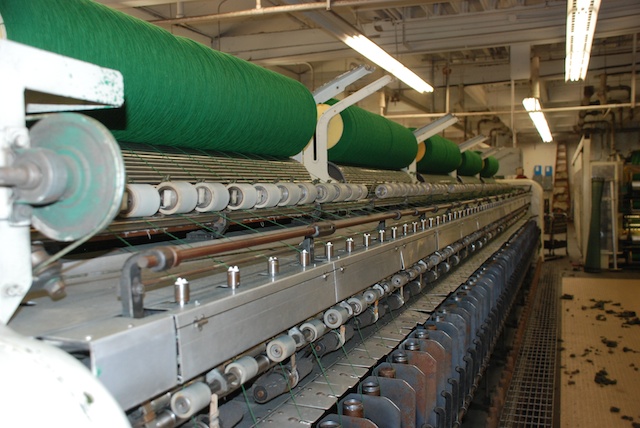
It's been several days since I wrote the post about Day 7 of our vacation. The vacation wasn't quite over. We needed to be back home on Tuesday but there were two places to visit in Oregon. (Actually I had marked many others on the map in my head--Hell's Canyon National Recreation Area, John Day Fossil Beds National Monument, a friend in Boise, a cousin near Portland--but those will all have to wait for another trip.) We arrived in Pendleton...   DSC_5058 ...and easily found the woolen mill. There is also a mill near Portland. That is where they weave cloth for the Pendleton clothing line. At this mill in Pendleton they spin and weave blankets. DSC_5068There were about a dozen people there for the tour even at 9 a.m. on a Monday morning. It was interesting to see the workings of the mill but now I have a lot of unanswered questions. We all wore headsets so that we could hear the tour guide over noise of the mill machinery but that meant that there was no opportunity to ask questions while we were walking. And the tour was fast. I would have liked to stop and watch what was going on with each loom. Now that I'm looking at my photos I realize that I have even more questions about what I was seeing. I guess I'll just have to go back!DSC_5076The Mill uses Rambouillet wool from Oregon and surrounding states and Merino wool from New Zealand and Australia. The wool is scoured in Texas and then comes to Oregon for spinning and weaving. The carding and spinning equipment was on the second floor. That room was quite humid. The guide told us that high humidity lessons the quantity of airborne particles so employees don't have to wear dust masks. Now I wonder if that is the main reason for the humidity or if it makes carding and spinning more efficient (or both). The photo above shows the carding equipment operating behind plexiglass.DSC_5073Pencil roving is spun onto big spools and the yarn is later transferred to cones.DSC_5065 IMG_0066The yarn is steamed to set the twist. Now I can't remember the details. I think it was steamed for an hour or so.DSC_5071 This is a view from the second floor looking down on the looms that are on the first floor.DSC_5072Above the looms are the computers that operate them and fans that keep the lint from settling and, thereby, prevent overheating.Jacquard loomHere is where I now have more questions than answers. This is one of the Jacquard looms. A Jacquard loom can weave complicated patterns because all the threads operate independently. Notice the selvedge threads that are wound separately.DSC_5091It is only after looking at this photo that I see the selvedges being cut off as the cloth rolls onto the cloth beam. At least I think that is what I am seeing. (This will only have significance to those of you who are weavers.)DSC_5089  This is one of the dobby looms. I think that guide said that with their newer dobby looms a blanket takes 15 minutes to weave.IMG_0078The blankets in a continuous roll are inspected for flaws as they roll over a light table (middle of the photo where the bright light is). IMG_0076 Blankets ready for finishing touches.IMG_0087 Bags of selvedges ready to sell to people who want to make rugs.IMG_0089We left with a few bags of our own. Dan wanted to point out that his purchase (BBQ sauce) fit into that little paper bag.
Next post: Second half of Day 8--sheep.

Road Trip - Day 7 - West to Oregon

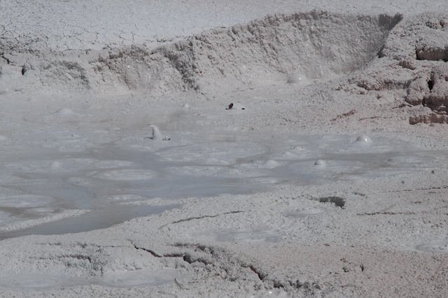
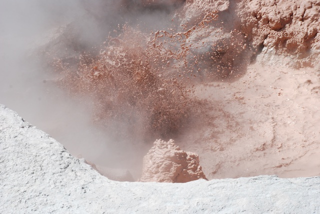
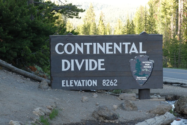
The plan for this day was to end up near Pendleton, Oregon because I wanted to go on a tour of the Pendleton Woolen Mill on Monday morning, This was another early morning with no dawdling around camp. No rain or snow, no moths or mosquitos (see earlier posts), but it was cold and we had places to go. Before we left Yellowstone we checked on a couple of sites that we hadn't seen during the previous two days.DSC_4988 Boiling mud at Artists' PaintpotsDSC_5003 There are no photos, but we were struck by the crass commercialization of  the town of West Yellowstone, just outside the West entrance to the Yellowstone. It made us very appreciative of the Rockefeller Parkway, that preserves 24,000 acres connecting Grand Tetons National Park and Yellowstone. Some of this land was purchased by John D. Rockefeller, Jr. to prevent commercialization and ensure preservation of the Yellowstone Basin ecosystem. It is now administered by the National Park System.Continental Divide, Idaho DSC_5014 Once on the road we didn't stop very much so many of my photos are from the highway. I was continually amazed by the huge pivot systems up to 1/4 mile long which means they are irrigating circles of 1/2 mile in diameter. map booksWe were entertained by following our map books. We started out with California and Nevada. I think we picked up Idaho somewhere on the way. Later we found Montana and Wyoming in a used bookstore in Jackson, WY. Eventually we found Oregon in a bookstore in Pendleton. We found these books to be a way to keep the travel interesting even in the broad stretches of "nothing" in the high desert landscapes. There are always geological formations, land features, mines or mountain-tops with names and the books offer much more detail as far as land ownership and dirt roads than regular road maps. The books came in particularly useful when we wanted to camp along the way and find roads into Forest Service land. (Yes, I also have an iPhone and I use it, but there is not always service and sometimes it's just easier to see the whole thing on one page.)DSC_5017On Day 2 we got interested in the fact that our route followed the California Trail used by the pioneers in the 1800's. Now we were following the Oregon Trail. These map books also indicated these trails and all the interpretive centers along the way.DSC_5018  We stopped at Glenn's Ferry and spent about an hour at their historical center.Three Island Crossing at Glenn's Ferry, IDThis is called Three Island Crossing (those larger trees are on islands in the middle of the river) and is where the covered wagons crossed the Snake River. The river was much different before it was dammed and the crossings were dangerous.

While traveling in Idaho I discovered this very cool  Auto Tour Route Interpretive Guide of the Oregon Trail as it follows the Snake River in Idaho. This guide includes info about the trail, the events that occurred at specific sites along it, and excerpts from pioneer diaries. I'm not much of  a history buff but this was a fun way to learn more about this part of our history and it is much more meaningful when you are seeing the landscape--rivers, mountains, deserts in much the same way that those pioneers saw them, but of course with much different perspective. I highly recommend traveling with the map book open on the lap while reading the info on the iPhone.DSC_5023 We made it to Oregon by late afternoon.DSC_5027Wide open spaces.DSC_5020

DSC_5024Oregon Trail Marker

There is a what looked like a very cool interpretive center near Baker City, Oregon but we were there too late in the day. This marker indicates...Oregon Trail …the remnants of the actual trail.

Even without the aid of the Oregon map book (which we didn't buy until the next day) we found a place to spend the night. We think this was Forest Service land, but maybe not.DSC_5037 Dan received Father's Day greetings from the kids.DSC_5042 We wondered a short distance from camp and enjoyed the greenery of the forest after driving through the desert. This area is part of the Blue Mountain Range which was a formidable obstacle for the pioneers. Columbine But it was close to dark when we stopped so once again we didn't linger over dinner. I don't even remember what it was--I think we were using up what was left…crackers, peanut butter, cheese, yogurt, carrots. We needed to get on the road fairly early to make sure we got to Pendleton in time for the 9:00 mill tour.DSC_5048 

Next up: A day of travel that includes wool and sheep.


Road Trip - Day 6 - Another Day at Yellowstone

In the last post did I say how cold it was when we went to bed the first night in Yellowstone? The cold plus the bison in the campground make me wish that I didn't have that middle-of-the-night call of nature. However, maybe that's a good thing because it was starting to rain and I shut the tailgate and the camper window. When everything is shut up it is warmer inside, but it is also stuffy and the windows get wet with condensation. There are trade-offs and stuffiness is probably better than feet in a wet sleeping bag especially when the temperature dips into the 20's. The green truck is too old to show the temp but that's what my iPhone said when I asked. So instead of rain we had snow during the night. Not a lot, but nevertheless, snow. Once again we didn't linger over our breakfast of instant oatmeal but got in the truck and turned the heater on. I chose way too many photos for this day's blog and I should cut some out, but I probably won't. I like blogs that are mostly photos...

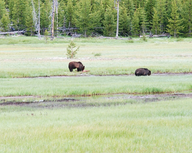
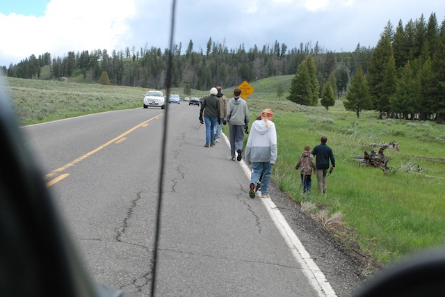
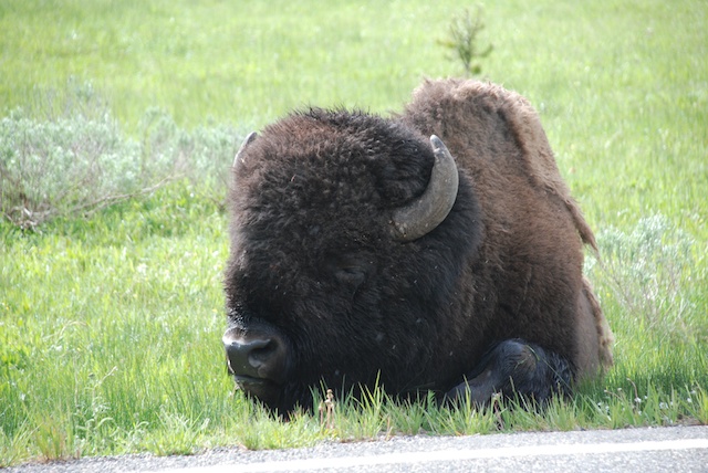
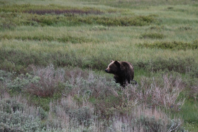
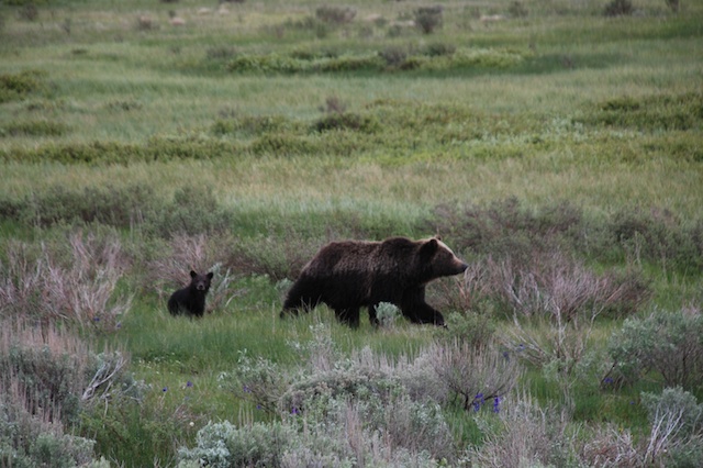
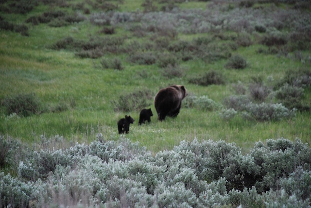
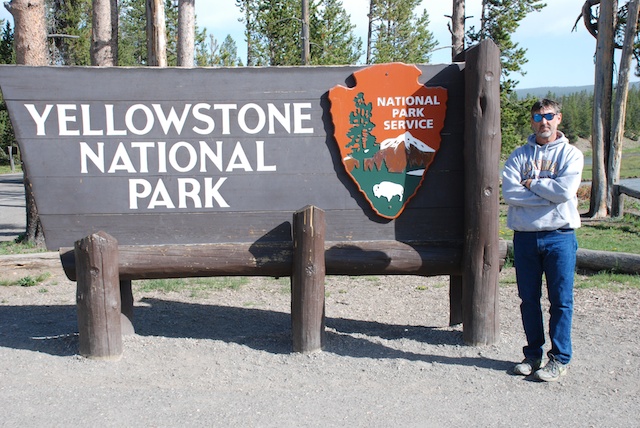
Our plan for this day was to drive the northern loop starting with Mammoth Hot Springs and ending with the Grand Canyon of the Yellowstone.DSC_4745Not far from the campground we saw our first grizzly bears - from the safety of our truck. (Even though I have been told by blog readers that the bear we saw in Grand Teton was a grizzly bear and not a black bear we thought it was a black bear at the time and I prefer to think that we were hiking with black bears, not grizzlies.) The one on the left was eating a carcass of something and was wearing a collar. They were being watched by a park biologist. I wonder if the park personnel always keep track of bears that are collared and monitor them when they show up near a road? One thing that we learned quickly is that being a Park Ranger in Yellowstone means Wildlife Traffic Patrol. Do you know an easy way to spot wildlife?DSC_4801Just look for parked cars and people walking along the road.DSC_4750It didn't take long to find more bison...DSC_4755 …and more bears. This one wasn't alone.grizzly bear grizzly bearI know, the sagebrush is more in focus than the bears, but that may be my last grizzly bear photo.
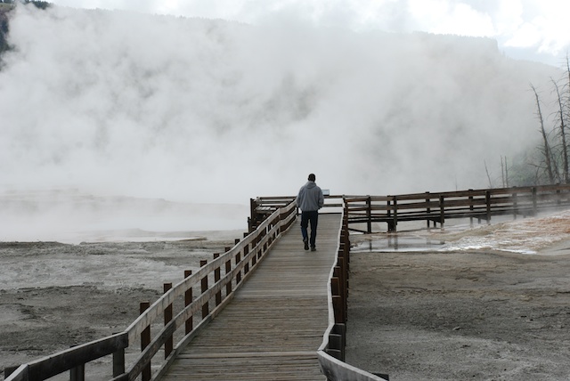
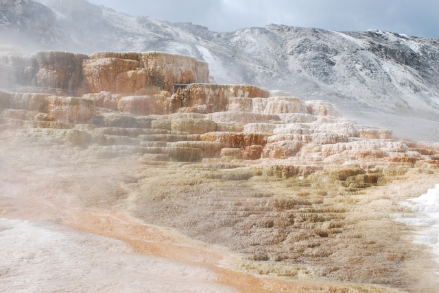
It was still early and when we got to Mammoth Hot Springs Terraces the weather was not looking good. It was cold and windy and during our walk along the boardwalk trails it started snowing. But the changing conditions only made the views more dramatic.DSC_4781Mammoth Hot SpringsDSC_4779 

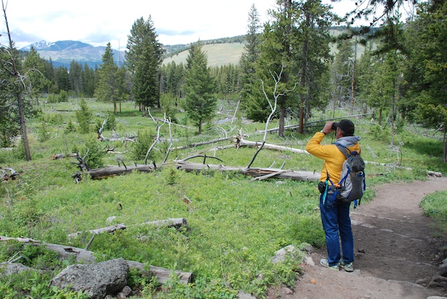
Mammoth Hot SpringsDSC_4790  We didn't hike any long trails on this day but there were many shorter hikes.Scanning for bears, Wraith Falls Trail There were people stopped on the road watching a black bear when we got out of the truck to take a half mile trail to see Wraith Falls. Dan was trying to decide if the bear was still entertaining people on the road or had retreated in our direction. Note bear spray with orange cap in the backpack pocket.

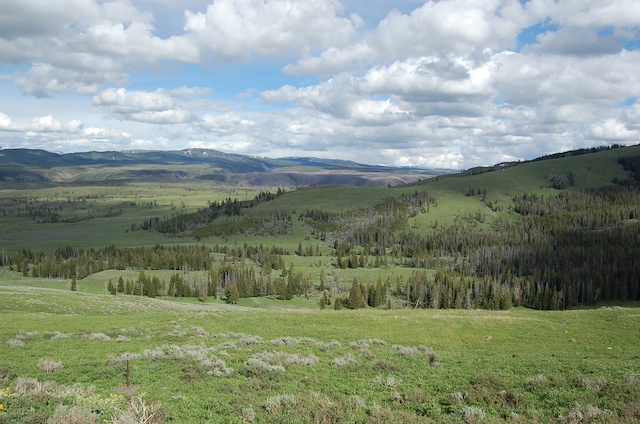
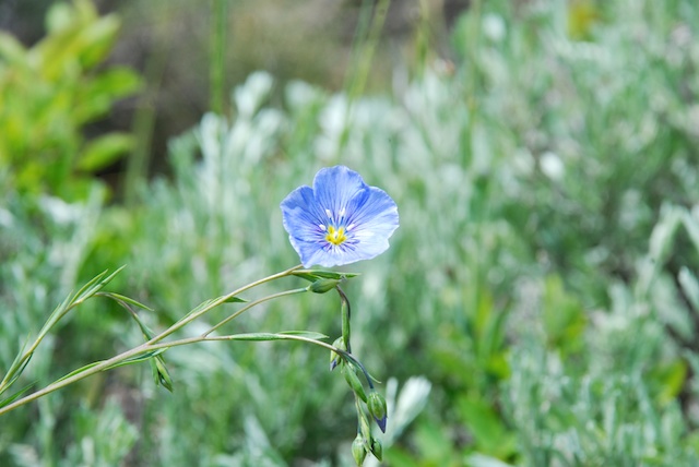
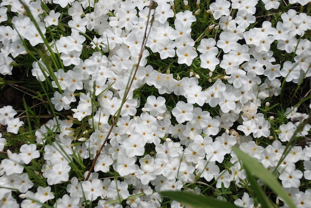
There are several one-way roads that you can use to get off the main road. Blacktail Plateau DriveBlacktail Plateau Drive is one of them and the scenery is majestic.Wild flax To my surprise Dan asked if I wanted to stop and take flower photos. I am usually teased about this habit. This one is wild flax.Phlox Phlox.

blue flower

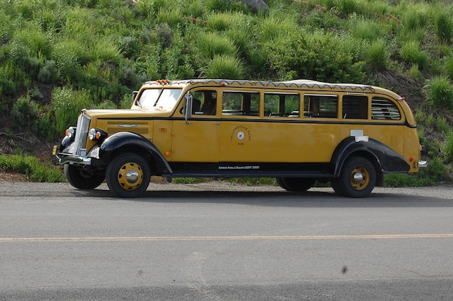
I wish I knew what this flower is. From a distance it looks like single blue flowers. It's only when you get up close that you see that it is lots of little tiny flowers.1936 Yellowstone tour busWe stopped at another waterfall trailhead and Dan took this photo of a 1936 touring van that he had just read about. These were canvas topped vehicles used in many of the national parks. They seated 14 people and in cold weather (at least in the northern parks) they provided Pendleton wool blankets for the passengers. At least some of the vehicles were used into the 1990's when they were just too old to keep running. The Park Service replaced the old vehicles with modern Dodge vans but the visitors wanted the old touring vans. So they are on the road again but Ford kept just the top part and replaced the chassis (and all the important things like brakes) with new parts. raven
Speaking of vehicles it seemed as though each of the parking lots at the main attractions had it's own sentry. This one was eating crackers.

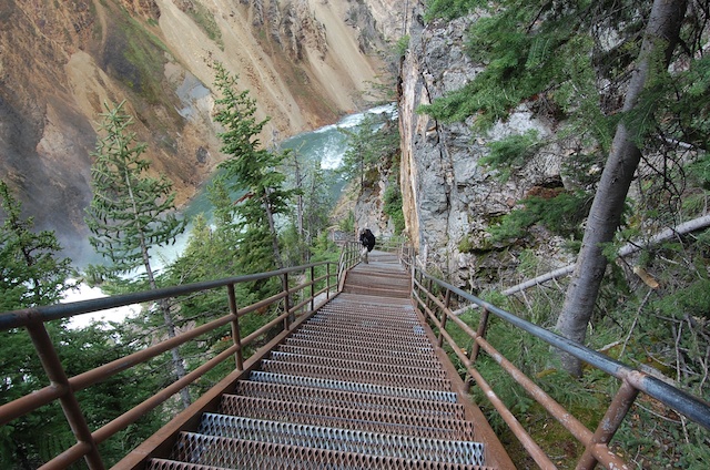
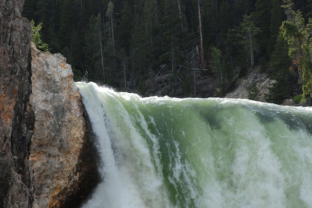
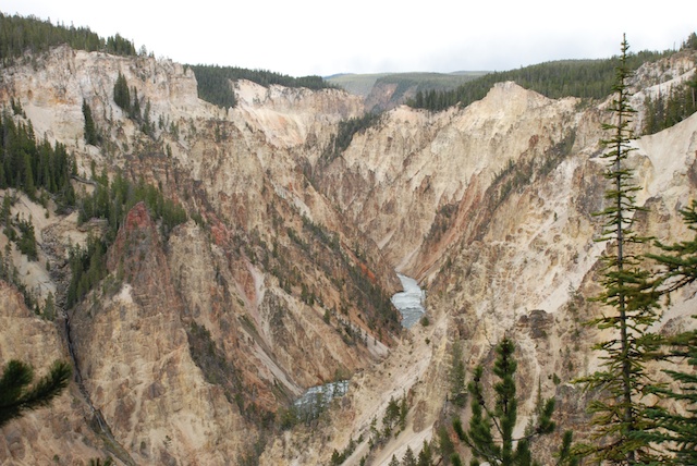
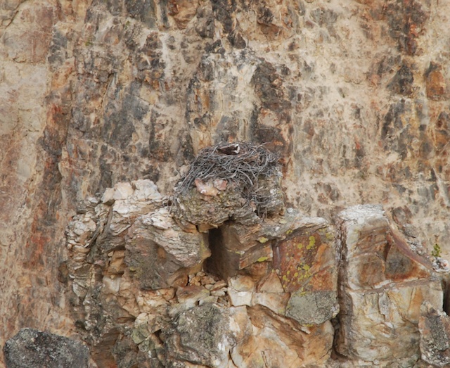
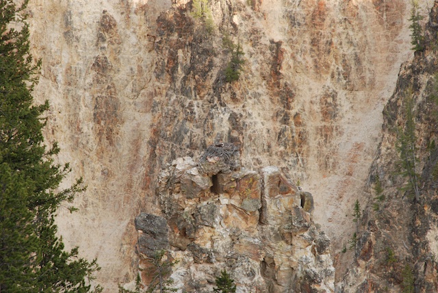
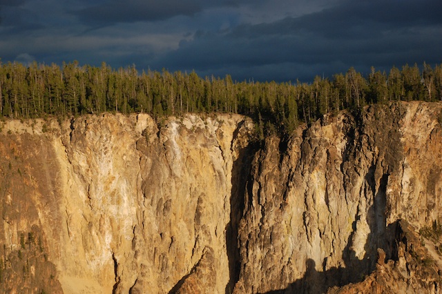
It was getting late in the day by the time we got to the Grand Canyon of the Yellowstone. There are several access points and trails on both the north and south sides. We knew that we didn't have time to hike all the trails, but we went to  all the overlooks and walked a few of the trails. Uncle Tom's Point trail to Lower FallsWe took Uncle Tom's trail to a viewing spot of the Lower Falls. Writing this blog I'm in a tank top and shorts with the fan on and it's hard to remember that just 10 days ago I was bundled in two layers of wool, my Carhartt jacket, wool hat, and gloves. Uncle Tom's Point trail to Lower FallsOriginally this trail had over 500 steps and rope ladders. Now it has only 328 steps and no ladders. Lower FallsThe trail no longer takes you all the way to the bottom but you still hear and feel the power of the water cascading over the rocks. I love the green color of the water here.DSC_4922 This is a scene of the canyon and the river taken from another viewing area. Simply majestic.Osprey in nest I don't think that I would have spotted this osprey nest except that some other people were looking with binoculars.Osprey in nest See what I mean? The top photo is a close-up of this one.Grand Canyon of the YellowstoneDSC_4961Another beautiful evening. Again we got back to camp at dusk, ate a couple of cans of beans and went to bed.

Next post: On the road to Oregon


Road Trip - Day 5 - Yellowstone

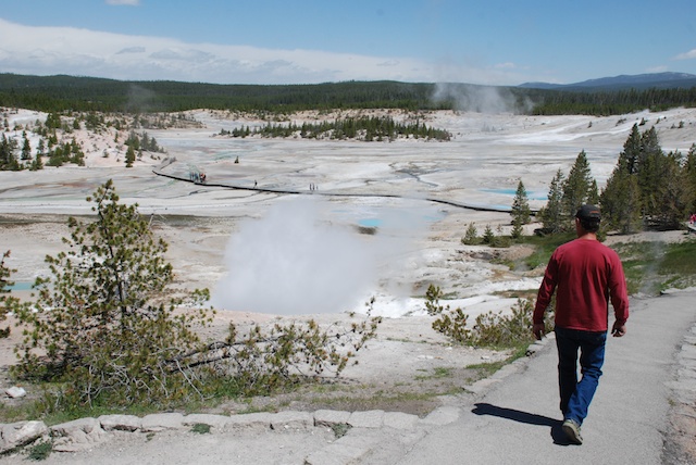
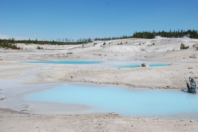
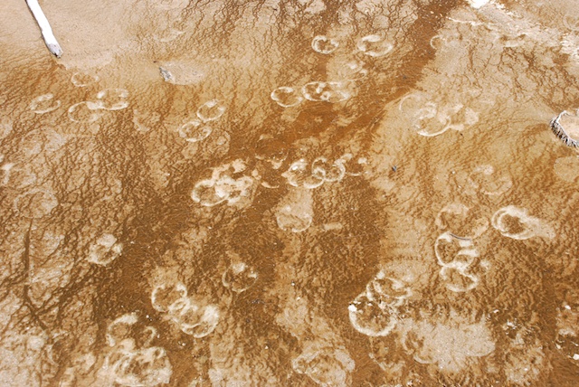
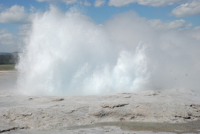
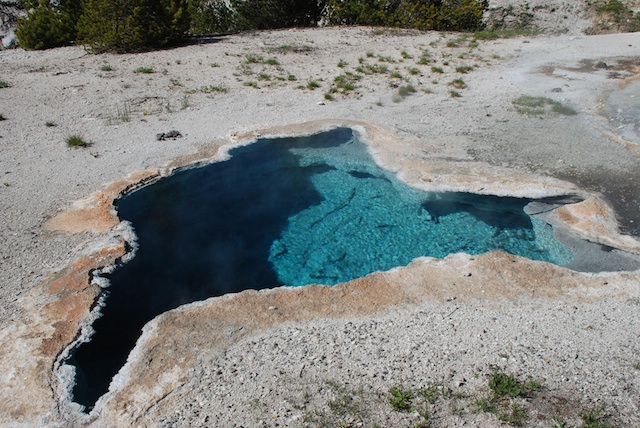
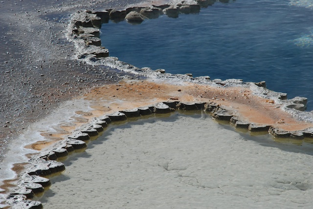
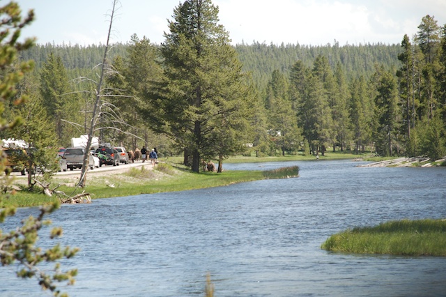
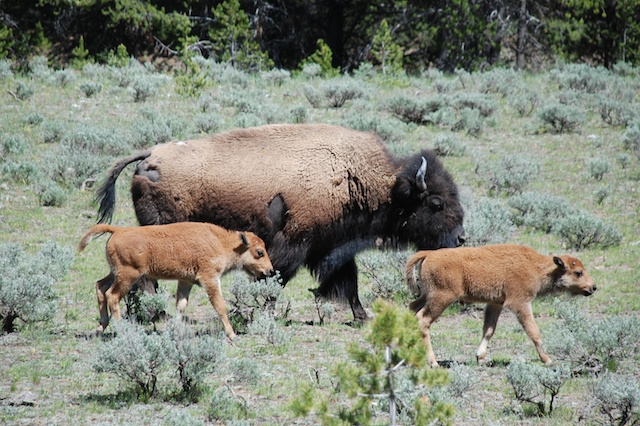
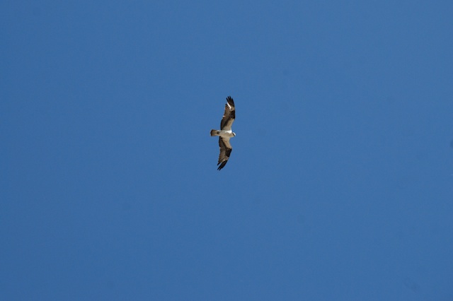
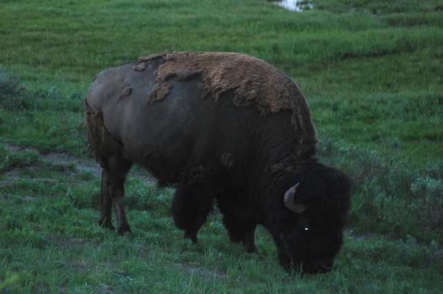
The mosquito situation in camp was no better than the night before so we didn't linger in camp on our fourth morning. We took just enough time to get our food out of the bear box and for Dan to make his coffee and we got on the road. There are plenty more trails to explore in the Tetons and I hope to make it back there some day.DSC_4525 But this was our next stop and we had two days to see as much of it as we could.Bison Not far into the park we saw our first bison. Initially we didn't stop for much  because we needed to find a campsite in one of the non-reservation campgrounds. After we secured a spot we were free to plan the day. There are two main loop roads in Yellowstone and we spent the first day exploring the southern one. DSC_4530 This is the Norris Geyser Basin, not far from our campground. That steam on the left was rising out of the ground with the sound of a roaring a furnace. The trail traverses this valley and there are steamy, boiling, gurgling features everywhere. I took Geology my first quarter of college and decided that I would not be a geologist. I am definitely more of a life sciences type, but I can be awed by these spectacles even if I don't know the physical science behind them. This landscape is all about color, patterns, bubbles, steam, explosions.DSC_4538   Bison footprints Bison footprints.DSC_4576  DSC_4597 DSC_4604 DSC_4616 DSC_4655 Blue Star Spring in Upper Geyser Basin Upper Geyser Basin Then there is the wildlife.Bison on road along Firehole RiverOn the way south towards Upper Geyser Basin (where Old Faithful is) traffic was stopped on the road. Going around a turn we saw the cause. Bison were walking alongside and on the road. Why not? It was certainly the easiest way to get from one meadow area to another, especially where this canyon narrowed. Passengers scurried ahead of their cars (leaving drivers) to get a better look.DSC_4568Eventually it was our turn to pass the three dozen or more bison as they turned from the road and moved into the forest.Osprey  Osprey over the Upper Geyser Basin. We got to the Visitor Center and Old Faithful just minutes before Old Faithful was due to erupt. After watching we faced a furious wind as we walked a couple of miles along the boardwalks and trails that traverse the Basin, seeing more of this amazing landscape. Craig Pass, It was getting later in the day as we completed the loop road to get back to camp. The road crosses the Continental Divide a couple of times in this area. Living on the West Coast we always think of all water ending up in the Pacific, but crossing the Divide twice in a short distance made me think about it.  We had been following two major waterways, but they end up in different places, the Snake River flowing westward and the Yellowstone River flowing east.DSC_4741 As dusk falls even more animals are visible, although not easy to photograph. It was dark by the time we got back to camp for dinner. I walked up the hill to the bathroom and a woman who was waiting while her cell phone charged pointed out to me what looked like … nothing…well maybe more black than the rest of the dark. There were two bison munching on grass right next to an RV. In the dark it was as though there was a Black Hole. I would never have known they were there. The woman told me that the bison had just walked around the bathroom and stopped to graze there. At that point I decided that the weak batteries in my headlamp were not adequate for the task of walking around Yellowstone at night. 

No moths or mosquitoes at this campsite, but it was dark when we got back, we were out of firewood and it was cold. We quickly cooked our spaghetti and some hot chocolate and went to bed.

Stay tuned for Day 6.

Vacation Interlude - Back to Work

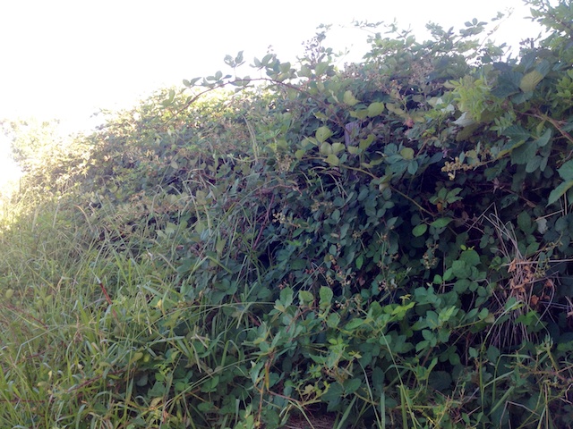
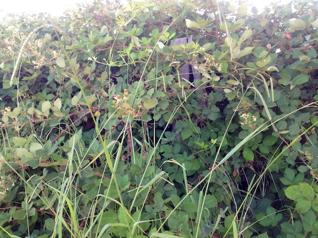
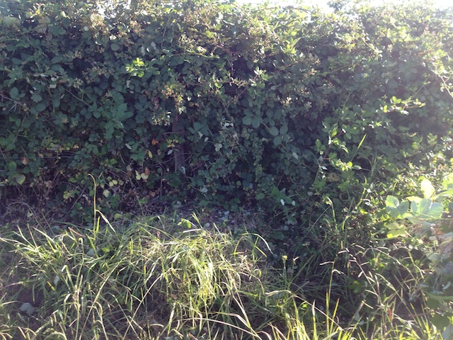
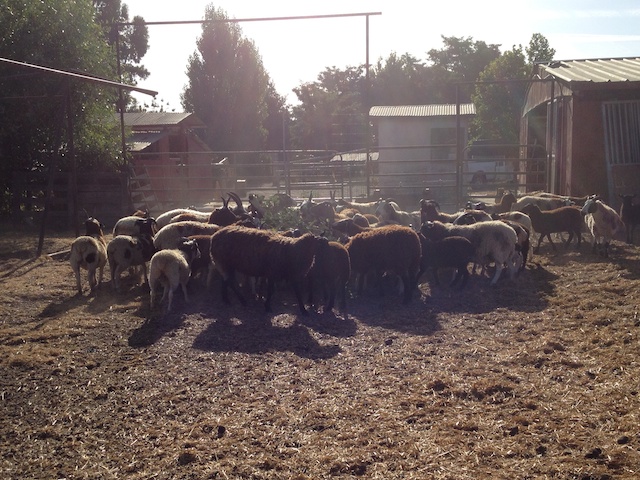
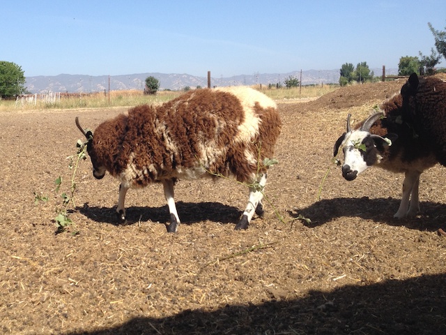
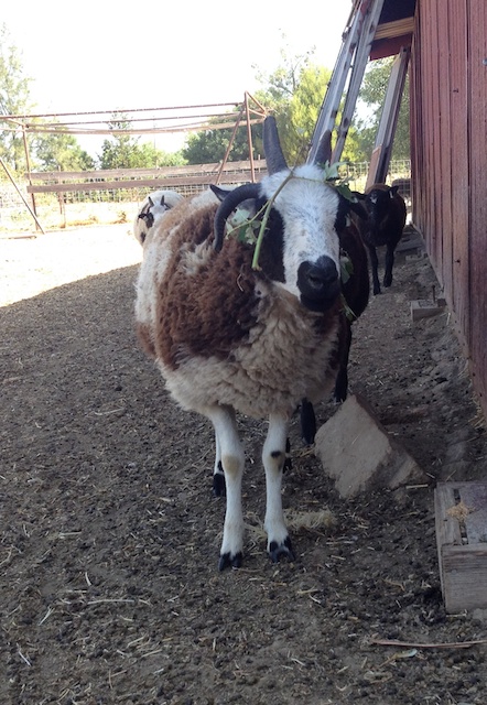
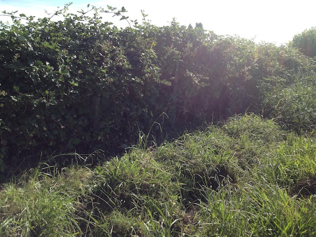
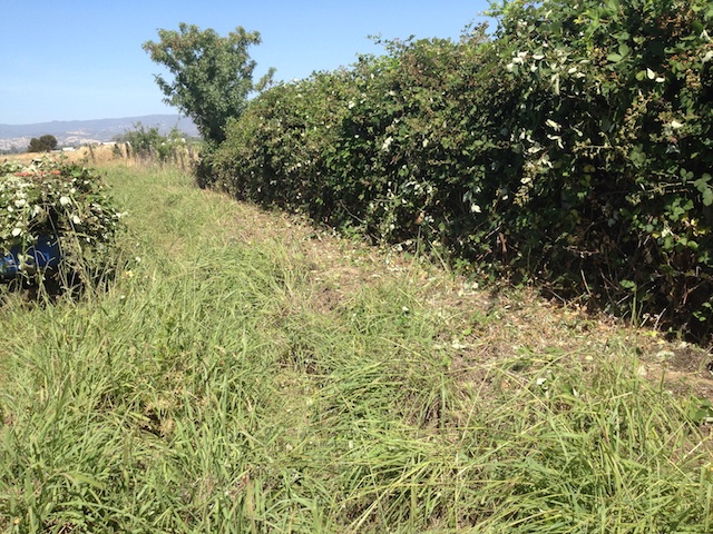
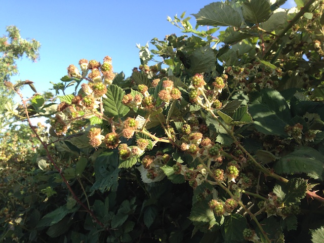
I'm on Day 4 of describing our wonderful vacation to the Grand Tetons and Yellowstone last week, but I will insert a post of what I am doing now that I'm back home.IMG_0106 This is the north fence of the pasture. This is AFTER grazing. The sheep don't venture in this far once the combination of dallisgrass and blackberries grow so thick. Access is hampered since there is an irrigation ditch just in front of this mess (the left part of the photo). IMG_0107 There is a fence under there. IMG_0109 This was yesterday morning's achievement. Sheep eating blackberries I dumped the branches in the corral and the sheep were happy to work on defoliation when it was easier.IMG_0130However I'm not happy that the branches  get stuck in their wool.IMG_0129IMG_0128IMG_0114 This morning's task was to finish the  job.IMG_0126    IMG_0132IMG_0111There are plenty of these still on what is left and they will be easier to get to. With my luck though they will all ripen just about the time that I go to Texas for the birth of my granddaughter. By the way, you'd think that I'd come up with another solution to this problem. See this post from just over a year ago. Maybe some strategic fencing to hold some sheep right at that fence line.
Stay tuned for our adventures in Yellowstone!

Road Trip - more of Day 4

In yesterday's post about the Tetons I mentioned that in between hikes we went to the National Museum of Wildlife Art. Sculpture at National Museum of Wildlife ArtThis fabulous museum is on a hill overlooking the National Elk Refuge.National Elk Refuge across from Museum of Wildlife ArtThis is a view to the east looking from the museum.  Grand Teton National Park is north of the museum and the elk refuge.Sculpture at National Museum of Wildlife Art There are several large sculptures on the grounds of the museum and they plan to eventually have about thirty.Sculpture at National Museum of Wildlife Art  

Sculpture at National Museum of Wildlife ArtSculpture at National Museum of Wildlife Art Unfortunately we had only 45 minutes before the museum closed and we quickly realized that you could spend several hours to fully appreciate all that is there. I took only a few photos as we rushed from room to room to see paintings, sculpture, glass, photography, and even skulls.  IMG_9968The collection includes paintings from old masters such as this one painted about 1650 by Paul de Vos that depicts what may be a biblical scene with a touch of the hunting genre thrown in to much more contemporary art.Bighorn Sheep by Carl Rungius, 1940, at National Museum of Wildlife ArtPainting by Carl Rungius, 1940.Charles Russell exhibit at National Museum of Wildlife ArtThere was a room devoted to wildlife art by Charles Russell and I took a few photos there before reading the sign that you weren't supposed to photograph any the Russell work.
I wish that we had more time to spend at this museum. It is definitely worth a stop on any trip to the area.

Road Trip - Day 4 - More of the Grand Tetons

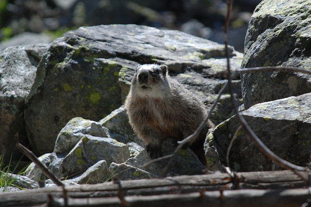
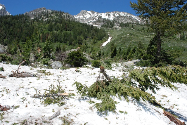
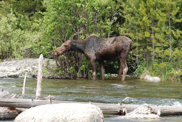
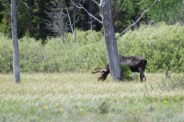
DSC_4359 It was cool in the mornings at Grand Teton National Park, but the main reason to suit-up was to keep the mosquitoes off. They were awful--not very conducive to hanging around camp in the morning. That was not our plan anyway -- too many places to see, too little time. As soon as Dan had his coffee we were ready to go.DSC_4360 Look who came to the campground for breakfast.DSC_4366 Hiking near String LakeOur first hike for the second day in Grand Teton NP was around String Lake. DSC_4394 Yellow-bellied marmot.Avalanche chuteAt several places there was evidence of avalanches that took out all the trees in their paths and... avalanche chute …obliterated the trail in some places. DSC_4410DSC_4422 Crossing the river at Jenny Lake we saw our first moose.DSC_4428 This is another moose we saw in a meadow along the road on the way to our second stop of the day. Lunch stop, "Solid 10 for style and effort"

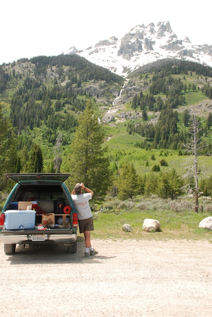
We drove to trailheads at Lupine Meadows...DSC_0463…where we had lunch. You can't tell from the photo but it was very windy here. Dan sprinted to chase down a plastic bag that blew quite a distance across the parking area.  One of the visitors later stopped at our truck and told him that he and his passengers gave him a "perfect 10 for style and execution".DSC_4443 We were near the south end of the park and decided to backtrack a short way down the valley to see the National Museum of Wildlife Art. That will be a blog post by itself.DSC_4472 Back in the park we went for another hike, this time to Taggert Lake.DSC_4475 There are magnificent views though out the park.IMG_0062 

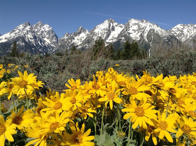
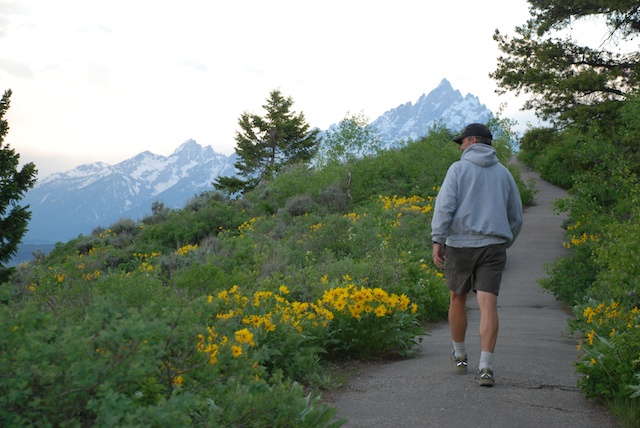
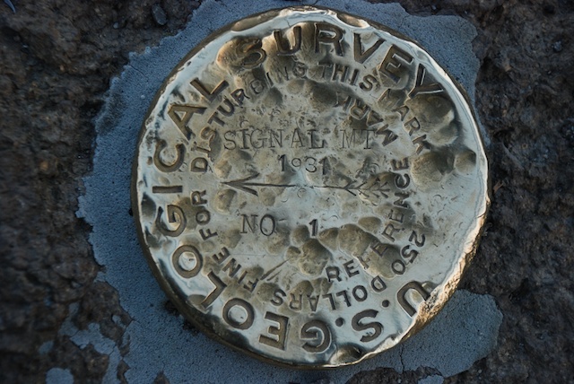
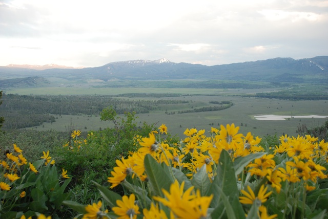
Signal Mtn trailAs the sun was going down we drove to the top of Signal Mountain. More spectacular views, but also an unbelievable number of mosquitoes.Signal Mtn trail from Signal Mtn.Late evening view from Signal Mountain.
Once again we got back to camp after dark, so we cooked our meal (spaghetti) and went to bed.

Road Trip - Day 3 - Grand Tetons

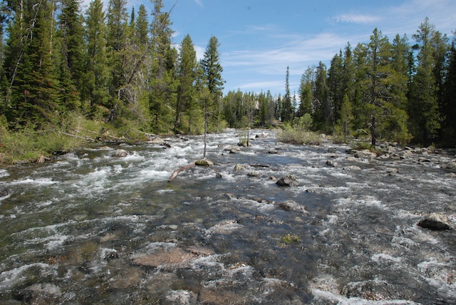
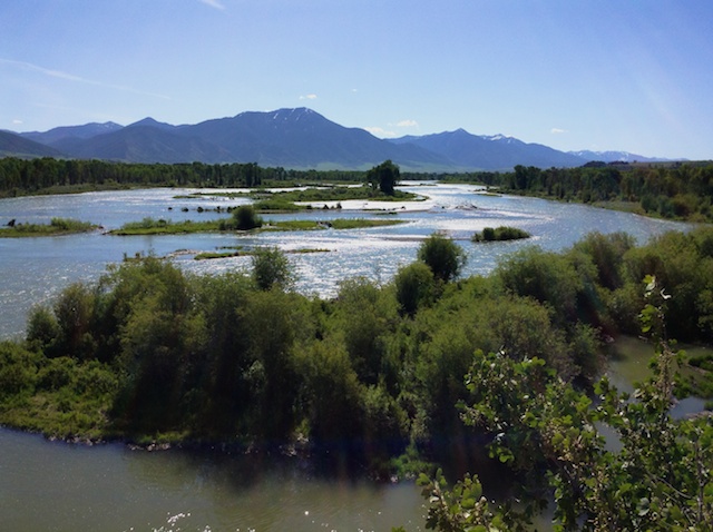
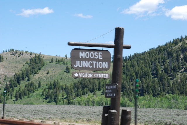
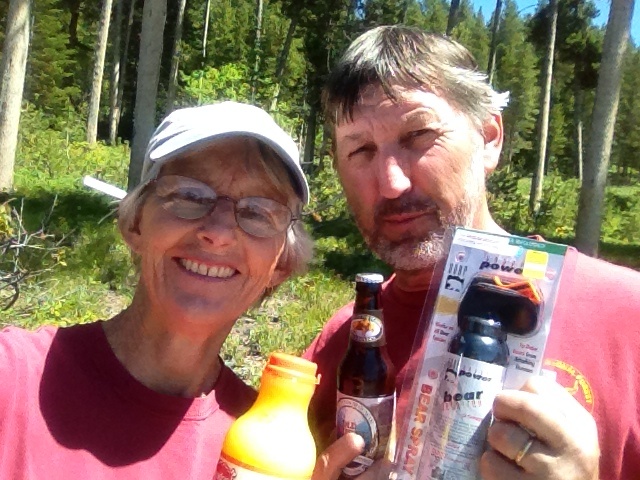
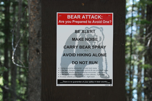
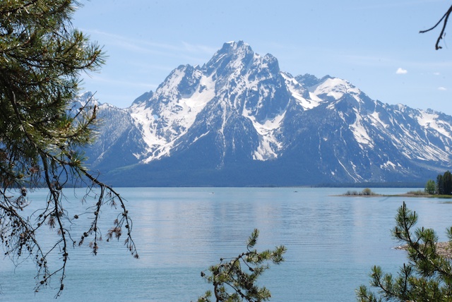
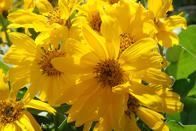
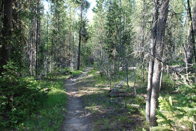
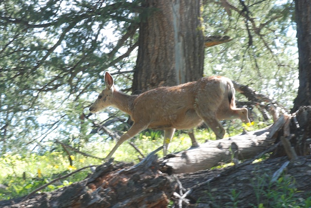
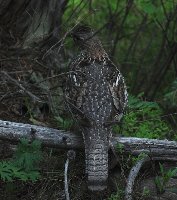
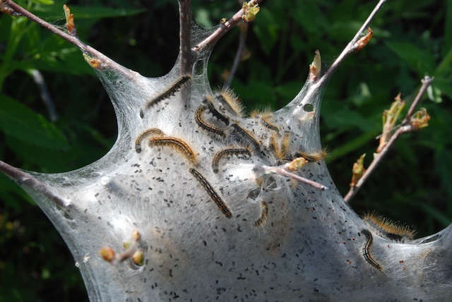
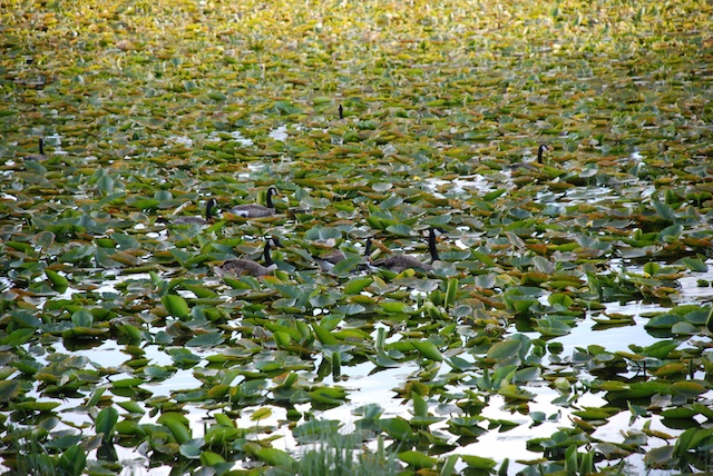
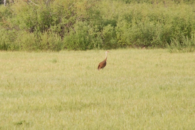
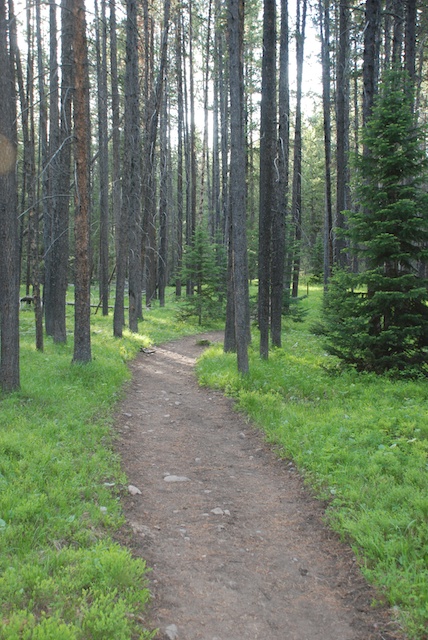
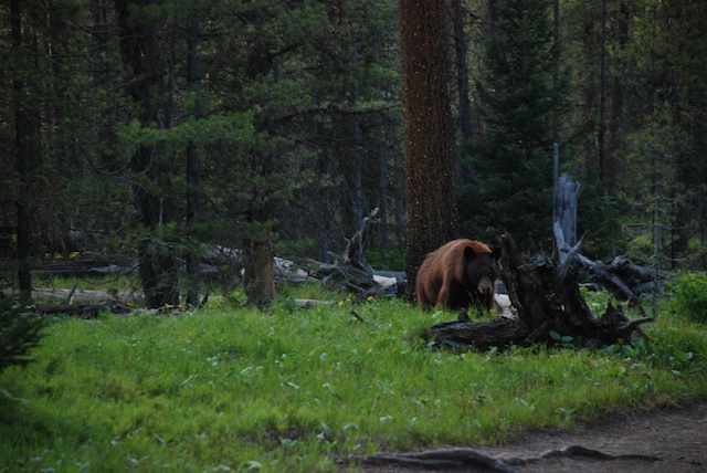
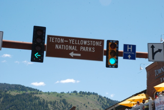
Morning of the third day.IMG_0055This is the Snake River near where we camped. We were on the road to Primary Destination #1, Grand Teton National Park. Leaving Jackson, WY DSC_4264 Moose is the headquarters and main visitor center for the Park. We found a campsite and chose a place to hike.supplies including bear sprayWe purchased the necessary supplies. That's Bear Spray on the right. Yikes!bear warning sign These warnings were everywhere you look - at trailheads, in restrooms, on brochures. OK. I believe...But it won't happen to me? Right? (Read the fine print on this--that's scary.)DSC_4267 We chose the Hermitage Point trail, about 9.5 miles. Here's a view across Jackson Lake. The hardest thing about writing this blog is choosing only a few photos.Arrowleaf balsamrootThe stunning Arrowleaf Balsamroot was everywhere.DSC_4316On the trail.DSC_4291I don't think National Geographic will be calling me anytime soon, but it was fun to try and get wildlife photos. I think I do better with flowers because I can get closer and they don't move. But maybe this isn't bad considering that my longest lens is only 135 mm. DSC_4323Ruffed grouse, according to my bird book.Tent caterpillars These tent caterpillars were everywhere. They eat all the leaves in the area of their tents and can be quite devastating when in large quantities.DSC_4318 Swan Lake DSC_4338I didn't see any swans in Swan Lake, but there were plenty of geese...sandhill crane ...and a sandhill crane.DSC_4334   We were less than a mile from the end of our hike and nearing dusk when we came upon this in the trail.DSC_4346OK. Time for 2 photos and then retreat.DSC_4346 - Version 2 This is an enhanced closeup of the photo above. The signs all say that the bear is supposed to go away. She didn't. We backed up and Dan fumbled with the bear spray. I had read the instructions while he was driving but I don't think he paid attention. "Flip off the orange safety catch with your thumb and then position it in spray position. No, point it at the bear, not us…" Did you know that you have only 4 seconds of spray in one of those cans? Not like the wasp spray we have around here. The bear approached a little more and we retreated more. We were less than a mile to the end of the trail and I really didn't want to go back. Then we saw other people coming up the trail towards us. These were 3 kids (well, college age) who we had seen on the trail before. It turns out that they didn't have a map with them and had taken a wrong turn to a dead-end trail, backtracked, and were running to make up time back to headquarters. They were thankful that we stopped them or they would have been running straight at the bear. When we saw a cub come out from behind a log and it was evident that this mama bear was not going to retreat we turned around and started walking the other way. It added only about another two miles to the hike for an 11.5 mile day. (Is this over-dramatic to those of you who live in bear country? I'm sure that I have hiked in bear country before, but I've never seen them. The difference is that these animals are not as wary of people as they would be other places--which is great if you want a deer or grouse photo, but not so much an animal with big teeth and claws.)DSC_4357 Sunset over Jackson Lake.

Road Trip - Day 2- Craters of the Moon

NOTE: As I was writing this I realized that I am back-tracking over yesterday's post. Oh well. Just like the book that I read on the trip--jumping around from generation to generation. On Day 2 we awoke at the rest stop to trucks rumbling out and millions (it seemed) of moths folded up in the truck. We shooed out as many as we could and packed up. As we followed the California Trail east we pulled off at the CA Trail Interpretive Center about 10 miles west of Elko. This looks like a brand new facility and is probably worth a stop on another trip, but it was closed at that hour.

At the town of Wells, NV (population about 1300) we turned north towards Twin Falls, ID and there we saw a marker for a CA Trail historical site. It showed a view of the route of the pioneers--dry, desolate, rough terrain, sagebrush. The town wasn't much. There were many abandoned old brick buildings but there was one in use and it showed a sign for the Wells Society for the Preservation of Western Heritage. Their CA Trail Museum was open. We were shown around by a young woman who grew up in Wells and told us that most of those abandoned brick buildings were in use until 2008 when the town was devastated by a 6.0 magnitude earthquake. DSC_4192 - Version 3DSC_4192 - Version 2DSC_4193

Now we catch up to the photos of lunch and "Welcome to Idaho" in the previous post. Driving past Twin Falls to Shoshone and beyond we were awed by the green landscape. I am used to California's huge agricultural landscape but there was something different about this. Maybe because of the miles of wheat with huge pivot irrigation systems. DSC_4202Unfortunately I didn't take many photos and although this photo shows the huge pivot it doesn't give the feel of the landscape. Deep, deep green over rolling hills to the distant horizon. We read later that this area is fed from aquifers that are a result of the volcanic landscape north of us. And of course there is the Snake River and the dams up the river, including the 15-mile long Jackson Lake in Grand Teton National Park which was dammed in 1911 for irrigation in Idaho.

But Idaho isn't all green landscape. We stopped at Craters of the Moon National Monument. DSC_0420There was a short trail to the top of Inferno Cone.DSC_4215Can you tell it was windy? So windy that Dan's sunglasses blew off and he had to chase them down the slope. We gave up on wearing hats.DSC_4218This is the view from the top of Inferno Cone. The Visitor's Center is just right of center. Notice the plume of smoke on the horizon at the left. That continued to grow and drift across the whole landscape through the afternoon.DSC_0437 This is on the trail around Broken Top, a cinder cone. Still windy.IMG_9929There are caves to explore. This is the path to three caves.DSC_0446 Getting out of the wind to the quiet of the cave was a relief. This is Indian Tunnel, a cave with areas in which the roof has collapsed.IMG_9936Most of the time it's too dark in a cave for photos. The beauty of this area is in texture, color, and shape. (Hey, weavers, substitute  structure for shape and we're describing cloth.)DSC_0451      DSC_4233DSC_4234DSC_4235DSC_4254 Craters was not our primary destination so after seeing what we wanted to see (and being tired of the wind) we got back on the road. The evening was spent driving through more beautiful ag land in Idaho, following the Snake River. DSC_0454At dusk we found an almost empty campground along the Snake River. After a meal of beans and popcorn we went to bed. No moths. No wind. Perfect.

Next installment: Grand Tetons.

Road Trip - Day 1

Since last year I had decided that I would take a real vacation with my husband and, being jealous after seeing photos on a friend's blog (Claire, that's you!), I made Yellowstone the destination. I kept two weeks open in my schedule. I did everything I could to make it easier to take care of animals and I got my kids to farm-sit. I had events or people here up to the time we were to leave. We didn't make a plan other than to visit Yellowstone, Grand Tetons, and the Pendleton Woolen Mill. (I had lots of other destinations marked on the map, but when you're in the West an inch on the map is many hours of driving so there will have to be another trip.) We left about 4:30 on Monday afternoon. That was only 2 1/2 hours behind my announced time of departure, although 4 1/2 hours behind the time I'd thought about trying to leave. We drove west on I-80 over the Sierras and into Nevada. I didn't take many photos the first day driving although now I wish I had. By the time we were finished with this trip I knew that the theme was the grandeur and beauty of this country, and even though NV gets a lot of flack (especially from my fire-fighter sons who spend a lot of time there), it can't be beat for it's share of wide-open spaces. DSC_0415 Making trail mix before leaving.IMG_9913Packing books and projects for traveling and sitting around camp.NVThe Nevada desert from the truck window.Valmy Rest Stop, NVWe drove until after dark and spent the first night at a rest stop in Valmy, NV. Dan had made a plywood platform in the truck so that we could stash our stuff beneath and sleep on top. He has an old foam mattress and I slept on a couple of yoga mats topped with one of the new large sheepskins I just got back. Not to make this a sales pitch, but you can't beat a nice thick sheepskin for making a soft, warm, cozy bed for camping. We will remember this night as the MOTH STOP. I don't have any photos but the bathrooms and eventually the truck were filled with big moths. In fact the next night we had to take everything out of the back to rid ourselves of the moths. We talked to someone at a coffee shop the next morning and she said that there were enough moths in the area for it to be newsworthy so I looked it up. These are miller moths, the adults of the army cutworm and are thought to be more abundant this year due to the mild winter.DSC_4194

Since we had no time-line we could stop at all the roadside markers that we wanted to. We discovered that we were following the California Trail on our outward bound journey (although in reverse direction of the pioneers) and the Oregon Trail on the way back. My kids have always teased me for pointing out "what it would be like if you were a pioneer" when we have traveled through the deserts and mountains, but Dan and I continue to be in awe of these stories. It made the trip interesting to follow along with some of the history using pamphlets we picked up on the way and what I found on my iPhone. DSC_0416  Lunch break near the Nevada/Idaho border.IMG_9920My friends who just came back from France posted photos of their meals along the way so I guess that's what you do when you're on a trip. What do you think?DSC_4197DSC_4198 Horse mural in Shoshone, ID, taken quickly from the truck window. DSC_4205Near the entrance to Craters of the Moon National Monument. Stay tuned….

Around the Farm in May

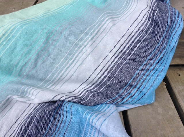
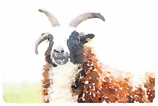
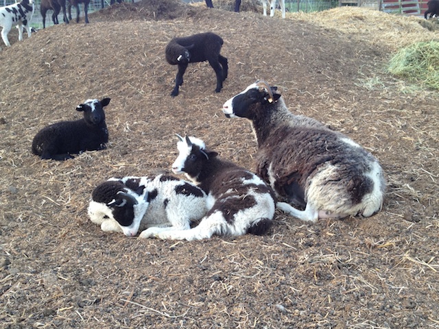
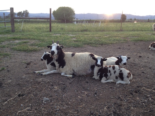
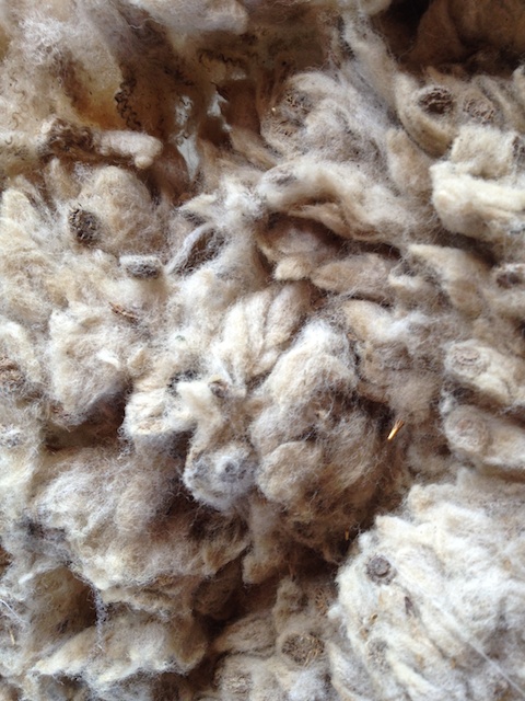
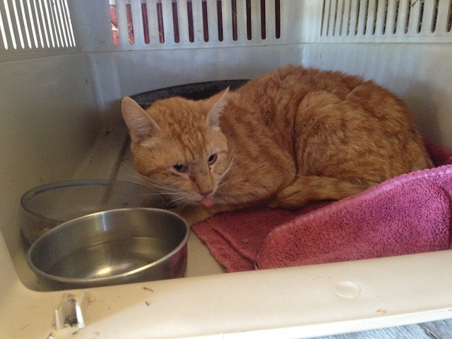
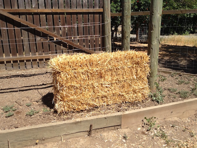
I went back through my i-phone shots during May, most of which I deleted. But here is a collection of what I thought was photo-worthy at the time.IMG_9637Sheep on new pasture lining up at the blackberry buffet.Goose on barn roofGoose on the roof. There was another just out of site on the high part of the barn. Note ongoing wool washing activity. Also blooming bottle brush in the background...Rusty in bottlebrush…which makes it clear where Rusty was hiding out.IMG_0033 Felt flower done by someone who came to my weaving class.baby wrap Baby wrap brought by another weaving student. I had no idea that baby wraps were in such huge demand and people will pay huge prices for them. I'd love to weave some but my shoulders start hurting just thinking of weaving yards and yards of relatively fine threads, even on my AVL. What I wouldn't give to have joints that were 20 years younger.Painted in Waterlogue Playing with the iPad when I should have been sleeping I found this cool app that turns your photos into paintings.IMG_9661  Mom's and babies. This is Laura and twins.Jazz and tripletsJazz and triplets.wool with burr clover I spent a huge amount of time this month sorting fleeces that were beautiful except that they were filled with obnoxious burr clover. A lot had to be thrown out. This wool is finally  in route to the mill.cat I found this tom cat with a foxtail in his eye, huge ticks on his neck, and very weak and skinny. Through the wonders of Facebook within 24 hours he was on his way to a new home where I hear that a vet has ruled out any severe problems other than starving and he is eating up all the food and TLC he can handle.straw bale garden My latest attempt at gardening in my raised beds that have been gopher-ravaged is to try straw bale gardening. I am in the phase of watering the bale to start it decomposing. Then you add fertilizer, keep watering, and then plant. My hope is that a gopher will not tunnel all the way up through the bale.

Only a Mother Could Love...


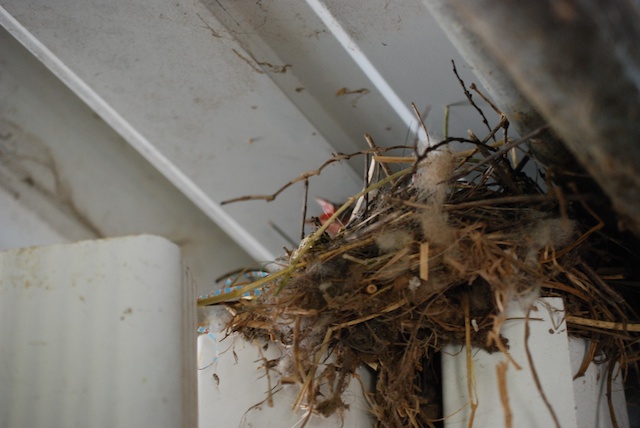
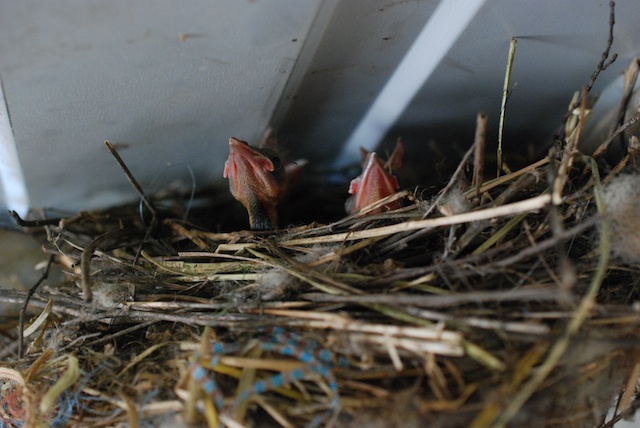
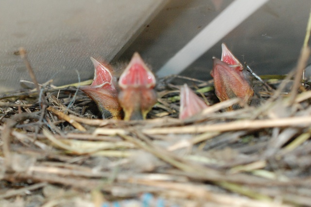
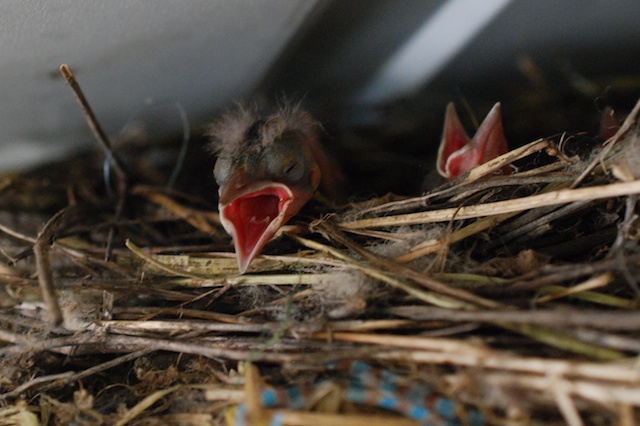
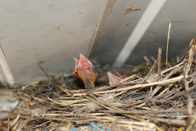
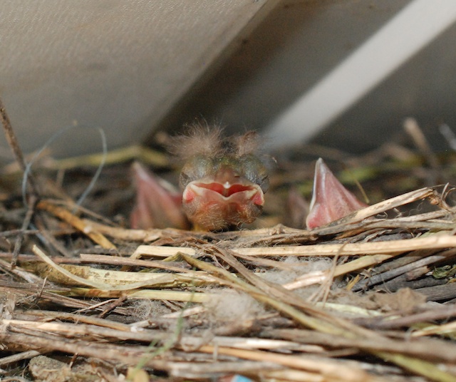
There are dozens of baby birds in the barn. DSC_3232 This nest is at the top of a bunch of rain gutters and downspouts that I (with great intentions during  a severe storm) bought a couple of years ago and are obviously not yet in their proper place. Note raw material easily found in around the barn.DSC_3243 They remind me of Dr. Seuss characters.DSC_3257DSC_3245 "MOM!"DSC_3254 DSC_3256 Or maybe more something from Jurassic Park. I think you have to be a mother bird to love this face.

Weaving More Blankets

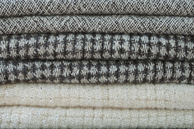
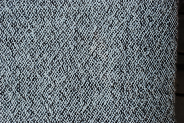
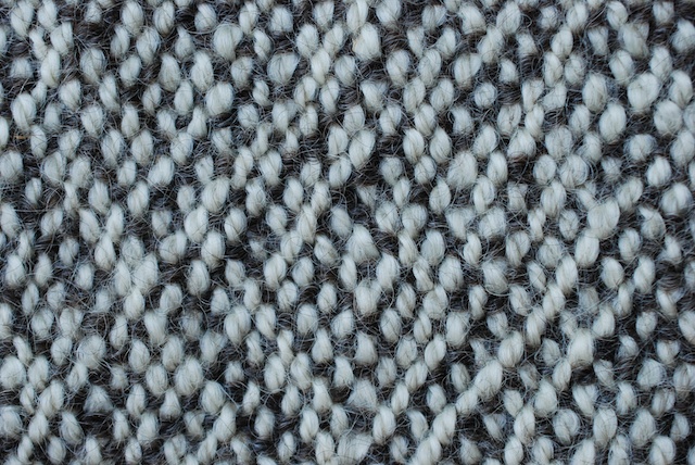
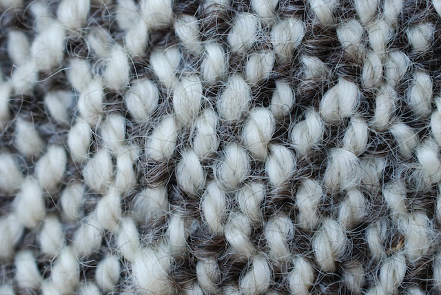
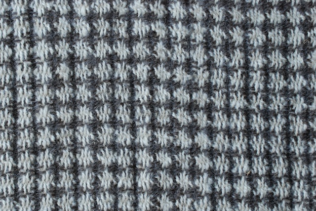
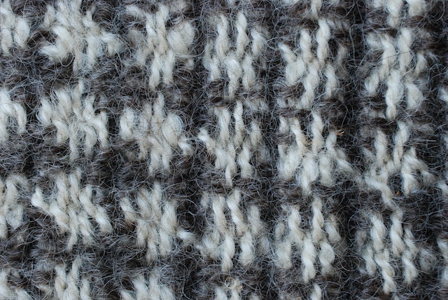
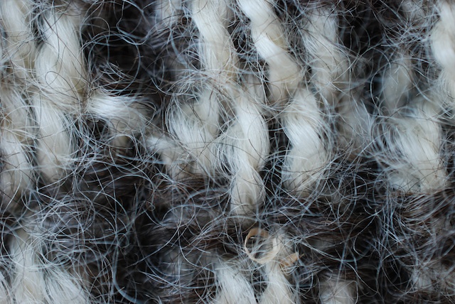
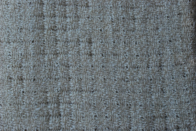
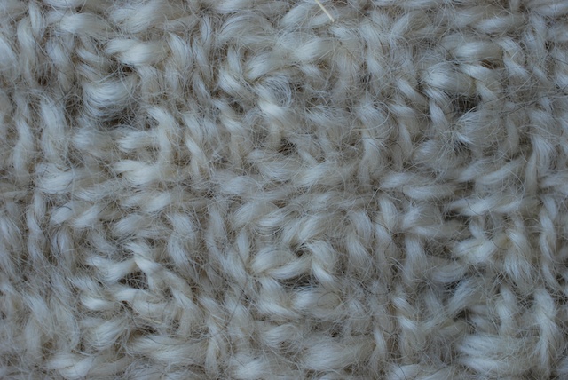
This was the last order of blankets from BC (Before Christmas). Now there is only one more thing that I have committed to weave for someone else (that's you, I.S.). Then I can focus on my LVIP (Looming Very Important Project)…pun there, but not intended. DSC_3466 This is six throws on the same warp. I don't remember what the wool is, but there are some longwools (or maybe it's mohair)  in here as you will see in the detail. They add luster as well as weight to the blankets. They also act very differently when fulled. Some of that has to do with the extra twist in the yarn.Tracking The top two blankets in the first photo are in plain weave, but at a glance they may not look like plain weave, in which every other thread is over and under. There are diagonals in here that are not characteristic of plain weave. This is called tracking and is not uncommon when weaving plain weave with yarns that are over-twisted and woven at a relatively loose sett.Tracking Detail of a plain weave blanket. You can see that the weave structure is plain weave, but the over-twist of the threads is causing them to migrate and twist after wet finishing.Close up of wool yarnMore detail because with this lens I can.Close up of wool yarn Do you see the "hairiness" of those fibers? That is more characteristic of a "long wool" breed.Blanket detail More blankets and details.Blanket detailClose up of wool yarnBlanket detailClose up of wool yarn

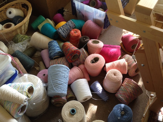
Did a box of yarn explode in here?

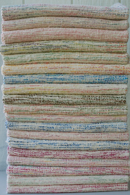
  You may have seen this photo on Facebook (by the way if you didn't see it on FB you can "like" Meridian Jacobs), but you didn't see the rest.DSC_2795This is a stack of 19 blankets that I just finished. There is still warp on the loom, but I needed to get these off the loom (and I needed to give my shoulder a break--now it's the right one giving me trouble). My daughter will choose one when she is here this week and the rest will go to The Artery for sale.  They are also on my website.

So here is what some of them look like:861-6 861-7 (1) 861-8 (1) 861-9 (1) Camo anyone?861-13 (1)baby blankets on loom

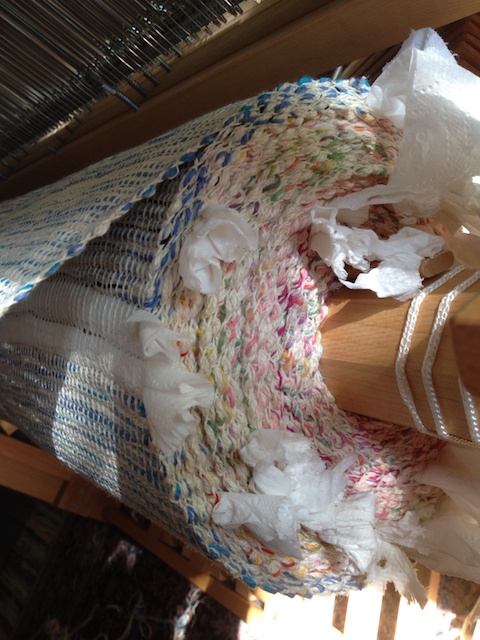
This is what the cloth beam looks like while I'm weaving.Baby blanket yarnAnd here is the floor behind the loom.
Things I see on the way to the barn

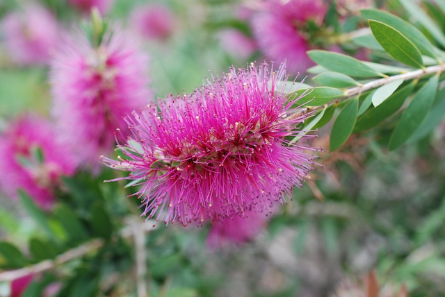
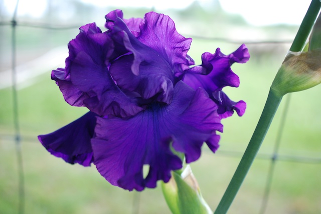
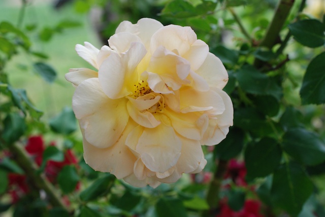
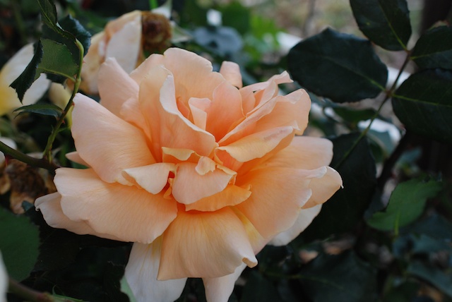
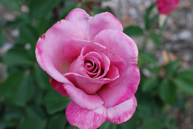
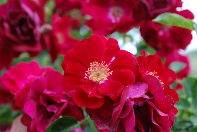
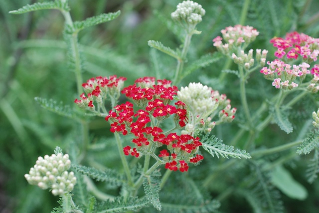
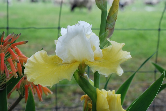
Bottlebrush Pink bottlebrushDSC_2601 Look at how tiny this new leaf is. Iris (1) One of my special iris plants that I got from Pleasants Valley Iris Farm.Iris Another one of the special irises.Rose (1) This rose  looks fairly common but the fragrance is spectacular.RoseSame for this one.Rose (2) These roses were on this property when we moved here in 1999. We moved them to their current locations. They don't get much TLC, but hang in there.Rose (3) Several of the roses also have branches from rootstock growing up around them. I can easily identify those branches when they are flowering, but I hate to cut them off when they are so pretty.YarrowYarrow.DSC_2672Amaryllis (not a flower).

Backpacking at the Lost Coast - Day 3 - and a surprise ending

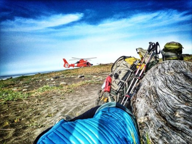
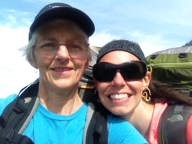
Matt woke me up about 6 and asked if I was OK. "Sure, except that you woke me up." It seems that Kaleena had been very sick since about 1 a.m. and was not getting any better. We were about 9 miles from the truck, the last 4 of which were uphill the whole way. There is no cell service for a lot of this trek, but we happened to be in an area with Verizon service (though not AT&T). Matt talked to people in the closest emergency dispatch location about our options. Eventually the decision was made to fly Kaleena out via Coast Guard helicopter. Matt, Kaleena, and their two friends who were with us all work for the US Forest Service and Matt is has worked as a helispot manager so they were able to find a suitable landing spot and guide the helicopter in. 1508012_10152820397059896_405817080462470070_nAs Kaleena wrote when she posted this photo, that blue lump in the foreground is her lying in the sand while waiting for the helicopter. Matt talked to the Coast Guard guys and sent me on the helicopter with Kaleena and both of our backpacks. That way he and his buddies and the dogs could make the 9 miles back to the truck more quickly. (Yeah, so I can't keep up with a bunch of 30 year olds on a mission!) Kaleena and I ended up at a hospital in Eureka by 10:30 a.m.  Matt made it back up the mountain in about 3 1/2 hours but still had a long drive to get to Eureka about 5 p.m. This was an unfortunate ending to our trip, but it all ended up OK. Kaleena is fine now and I had a gorgeous view of the coastline and the mountains (and certainly less wear and tear on the body). We plan to do this again, but finish the trip differently!


Backpacking at the Lost Coast - Day 2

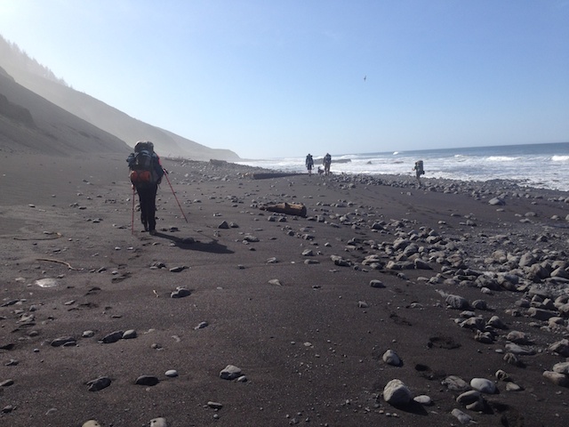
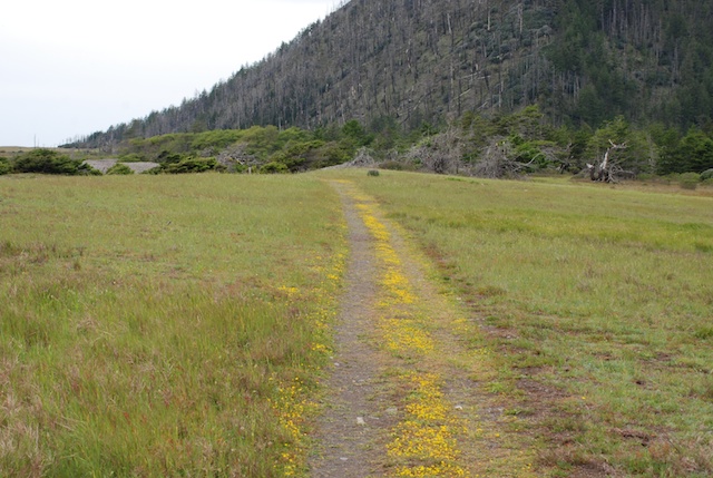
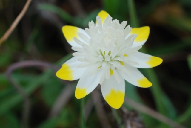
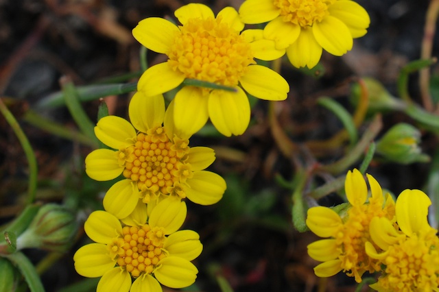
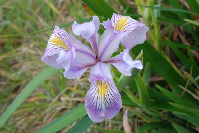
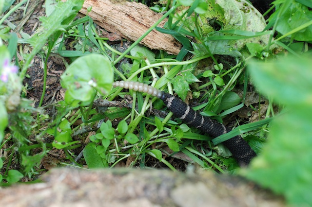
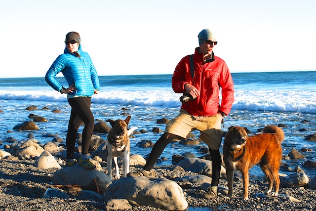
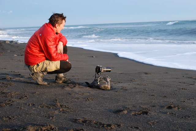
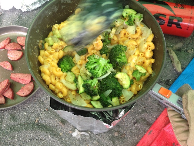
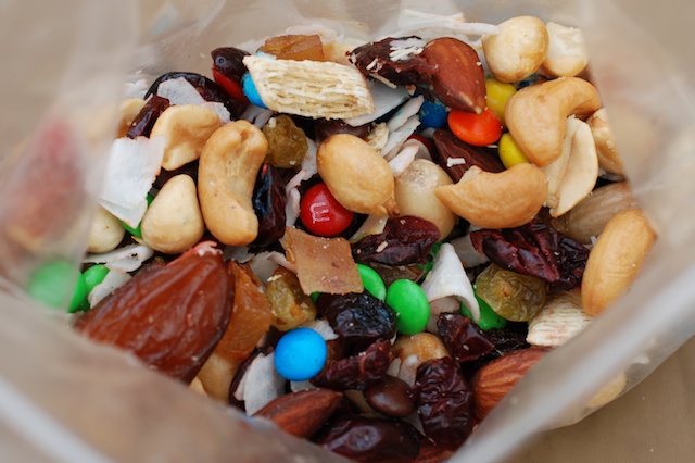
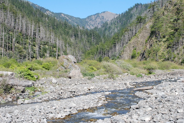
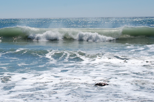
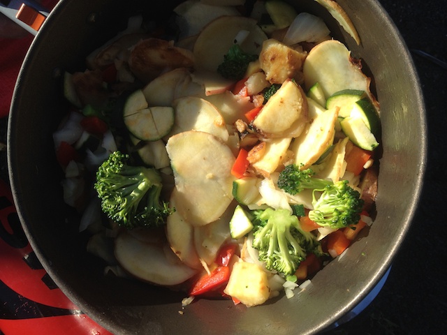
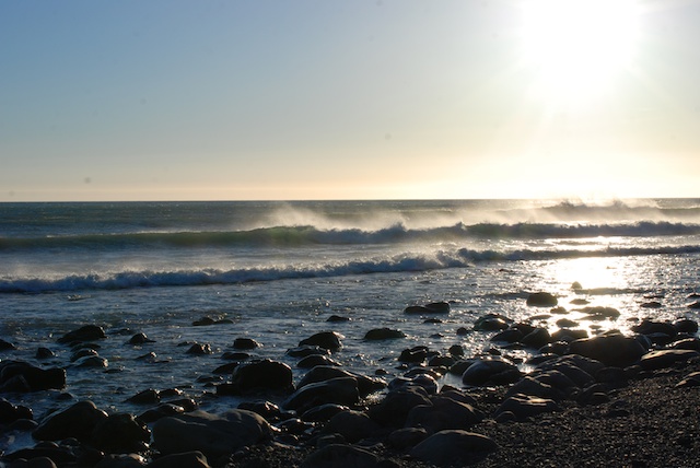
The goal for this morning was to hike south to Miller Flat where we would spend the night. IMG_9531IMG_9538IMG_9543DSC_2472After we set up camp I did some more exploring. Walking another mile or so was no problem once I was able to ditch the pack. The scenery and flowers were spectacular.DSC_2454DSC_2443DSC_2468Wild iris.DSC_2475As I've said in other posts the poison oak can be very pretty although its definitely best to avoid it. Back at camp there was no shortage of wildlife, although I wasn't able to do much about photographing sea lions or a river otter with my 40mm lens. (I tried, but won't bore you with those photos where you have to know which speck is the subject animal.) DSC_2404DSC_2428 Kaleena was photographing one of her favorite flowers right next to camp and was about to step over a log when she saw this:DSC_2430DSC_2436 It eventually slithered under the log. Maybe the beach is a safer trek.DSC_2311My kids could be active-wear models.DSC_2521This made me nervous. Matt wanted to get photos of the surf as it rolled in under his camera.IMG_9570Another great dinner. This time it was mac and cheese with fresh veggies followed by s'mores with your choice of graham crackers or fresh apple slices or both.Trail mixOf course there was always trail mix for snacking.DSC_2517  
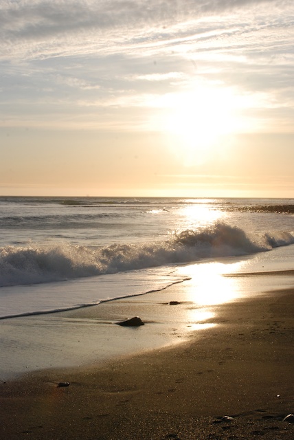
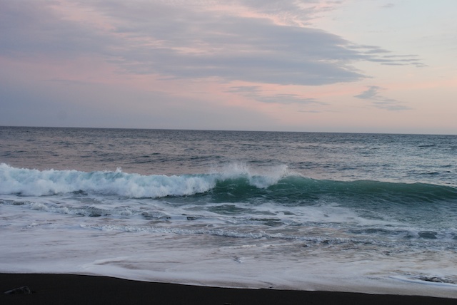
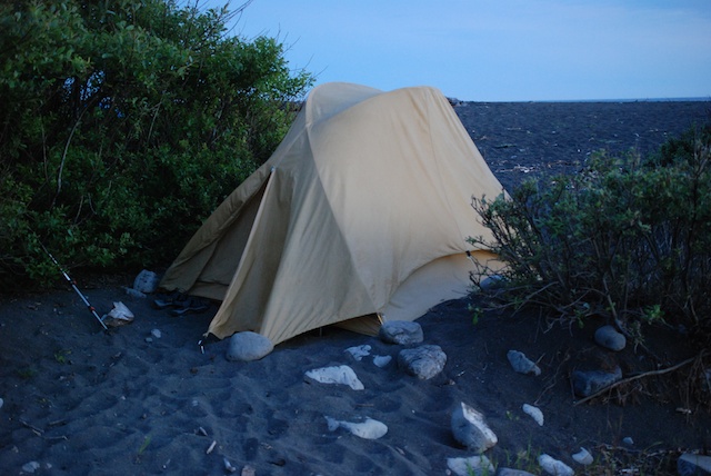
Sunset on the beach.DSC_2542 The  colors of the sky and ocean changed to pinks and greens as the sun went down.        DSC_2563 My tent at dusk. (Rainfly necessary this night.)


Backpacking at the Lost Coast - Day 1

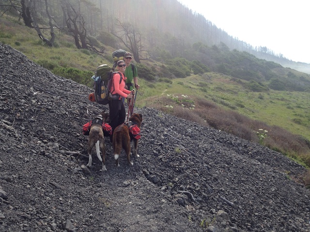
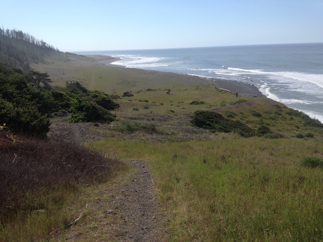
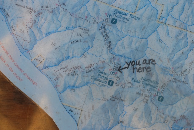
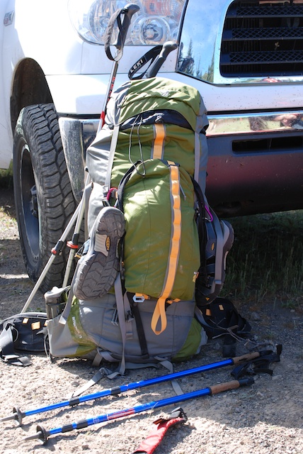
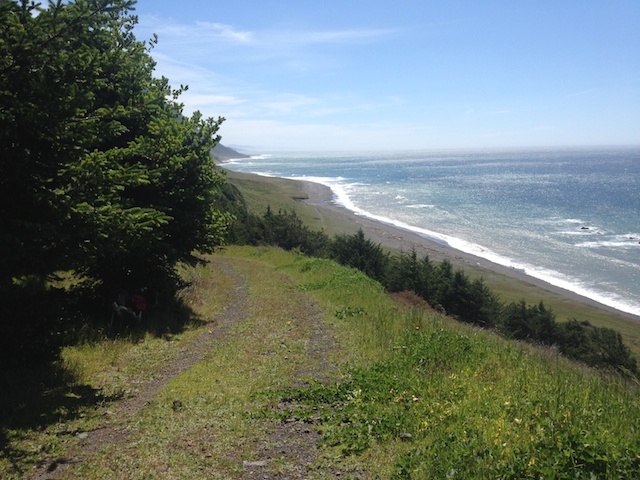
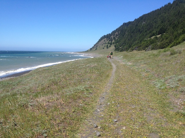
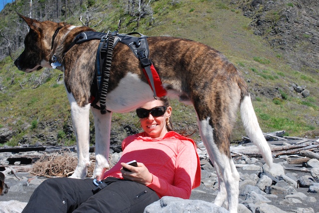
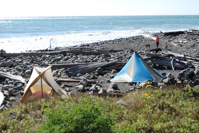
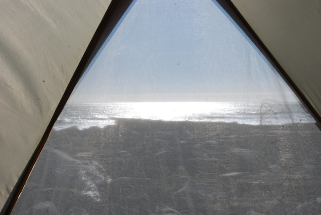
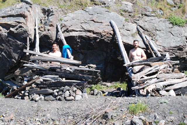
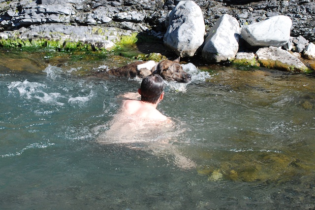
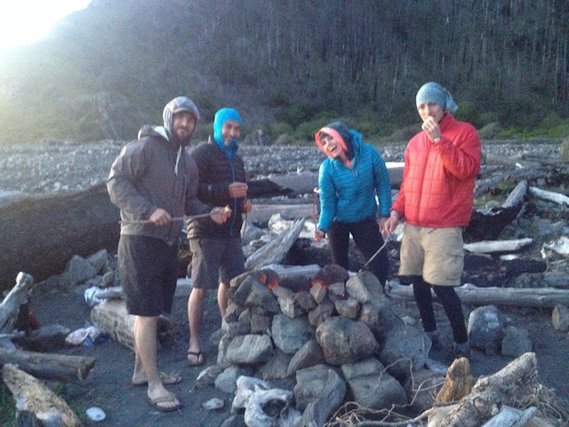
My son and DIL invited me to join them and a couple of their friends on a backpacking trip to one of their favorite spots. According to Wikipedia, "the steepness and related geo-technical challenges of the coastal mountains made this stretch of coastline too costly for state highway or county road builders to establish routes through the area, leaving it the most undeveloped and remote portion of the California coast". Since Matt and Kaleena did all the planning, food prep, etc all I had to do was gather up or borrow the right clothes and gear. DSC_2191 We drove about 5 hours north to a campsite outside of the town of Honeydew in Humboldt County where we spent the night. The next morning we drove to the the Kinsey Ridge Trailhead to begin the hike. DSC_2194 I borrowed  backpack since I couldn't find mine (and the last time I had used it was about 30 years ago so this one was probably a little better).IMG_9481 There was a four mile trek down the mountain to get to the beach. After that the trail is along the beach or through meadows just above.IMG_9483 IMG_9548DSC_2232 Every mile or so there is another river running out of the mountains into the ocean. This was where we camped the first night.DSC_2210Time to unpack the dogs and relax a bit.DSC_2247 First order of business was to secure our site by setting up the tents. There were not very many people hiking the area, but Matt and Kaleena have their favorite spots and you can't exactly reserve a site. View from my tent This is the view of the ocean from inside my tent. No rain fly needed the first night.DSC_2230Matt and Kaleena's friends didn't bring tents but constructed a temporary shelter from the wind with rocks and driftwood. DSC_2255Next it was time to explore the area and wash the poison oak off the dogs.DSC_2214 DSC_2220The chef Matt was the chef. IMG_9499He and Kaleena had prepared enough veggies to last us for 3 dinners.DSC_2302After watching the sun set over the ocean...IMG_9512…we enjoyed s'mores back at camp before turning in for the night.