New Perspective Across the Road

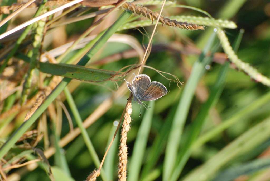
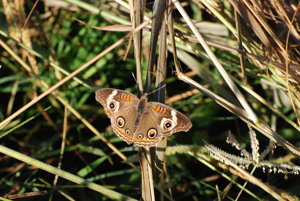
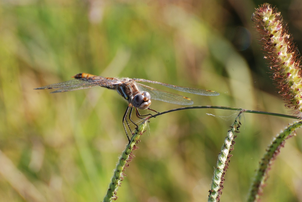
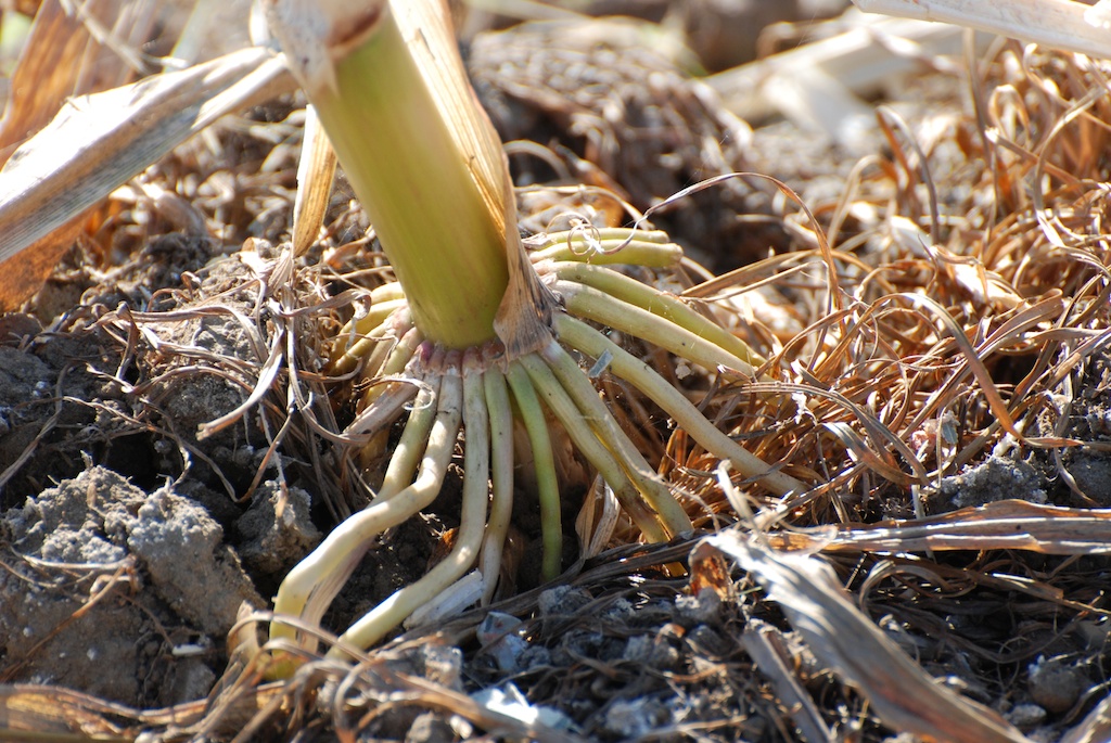
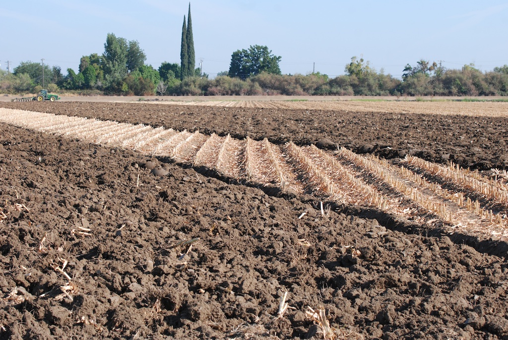
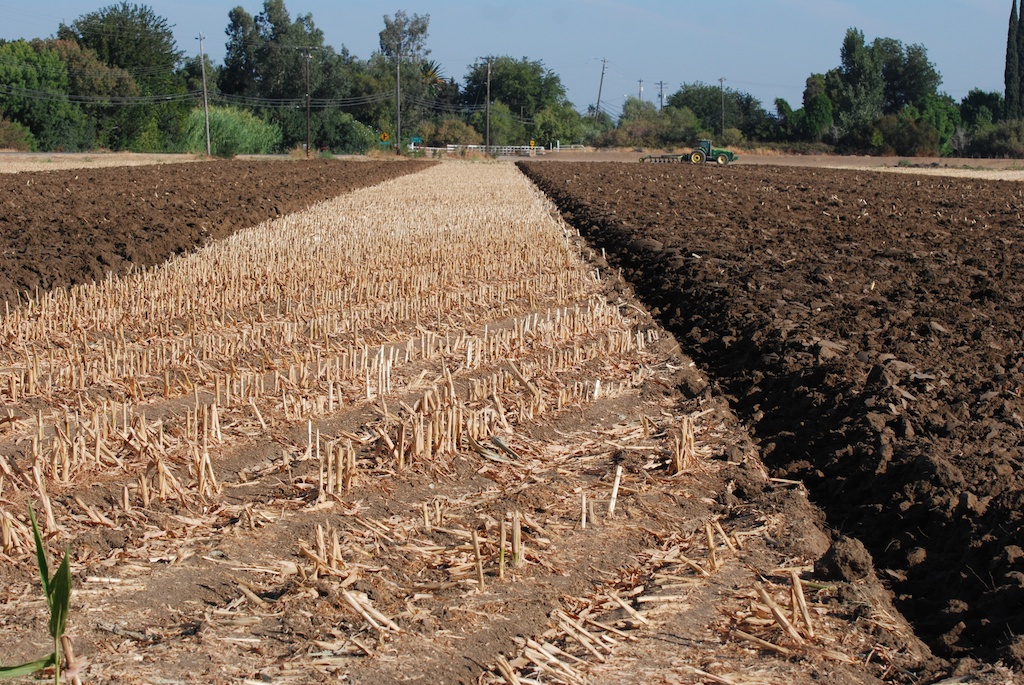
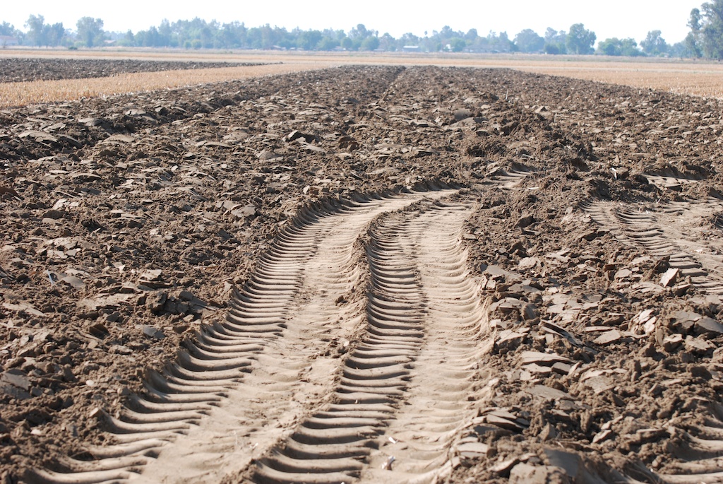
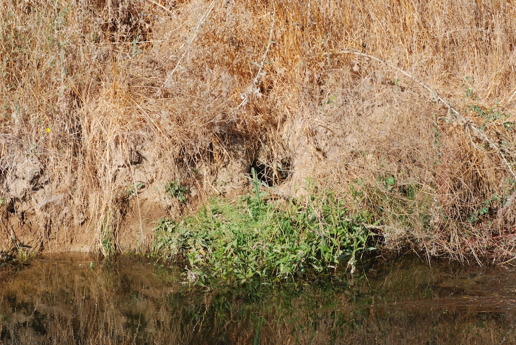
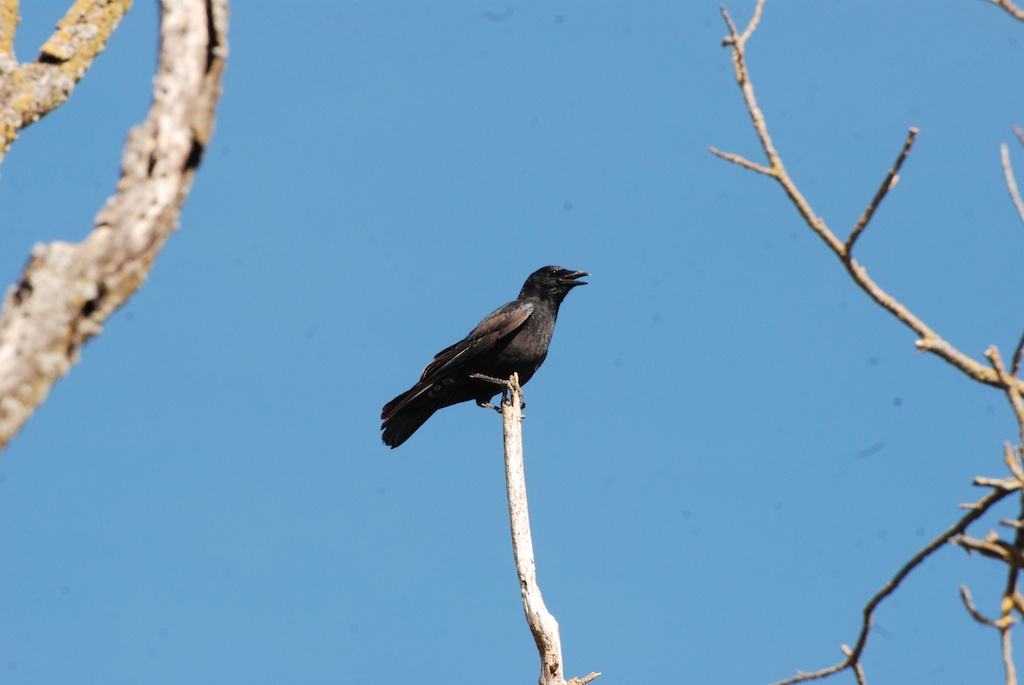
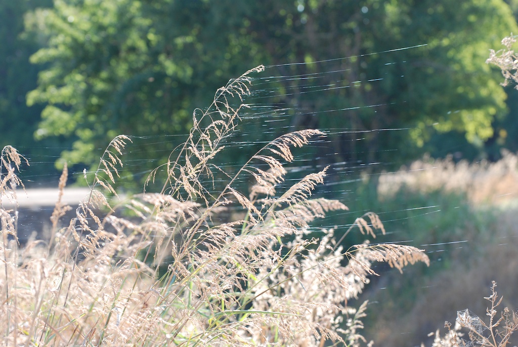
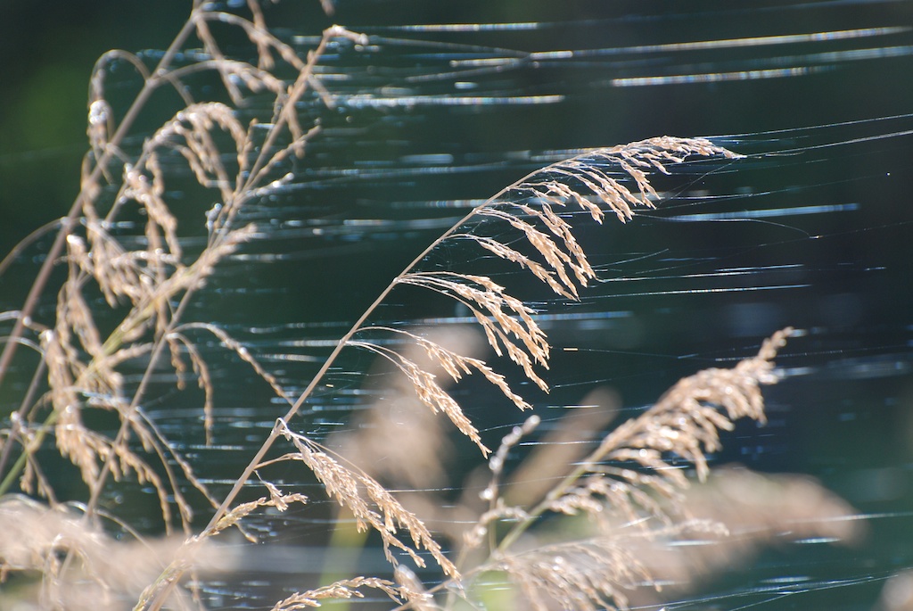
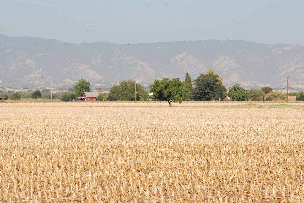
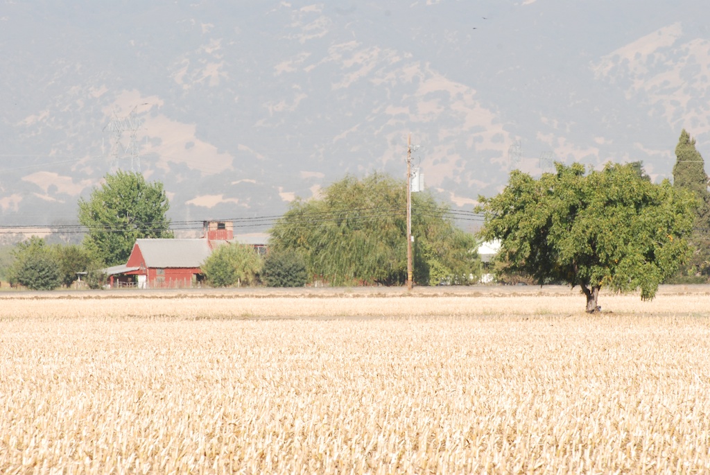
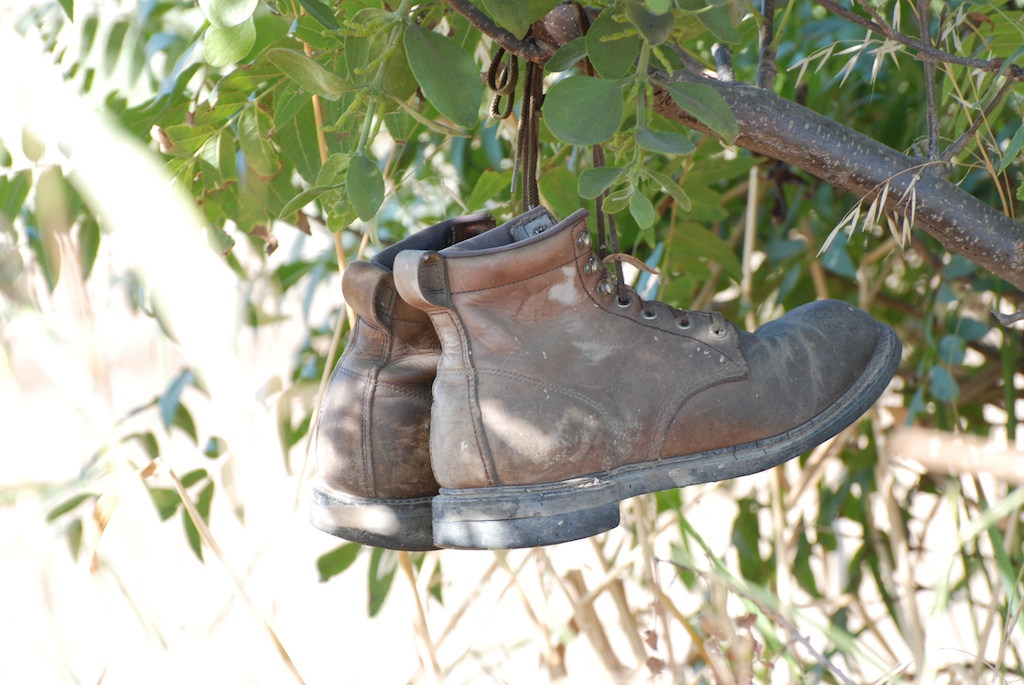
Thanks to all of you who told me that you like seeing photos from Across the Road. We have only 10 acres here so we appreciate being able to share the farmland that is across the road. I took my macro lens to the repair shop this week and saw that they had used equipment for sale at good prices. So I bought a 70-300 mm lens. My other lens is 18-135 so this gives me a whole new perspective. What fun!cornstalk That is the base of the corn that was harvested a few days ago. There are photos of the harvest in Rusty's blog.DSC_7695 Yesterday's plowing makes beautiful patterns.DSC_7698 DSC_7788DSC_7709 With this new lens I should now be able to get all those fantastic wildlife photos I've been missing. So I had my eyes open for wildlife. I was able to get a photo of a critter den just after they (muskrats?) plopped into the water.DSC_7767The only birds I saw were crows and doves. Oh Oh. I forgot to touch up this photo to remove the spots. I found that I have the same spots on my blue sky with this lens as with my other one. That means that there is dust somewhere inside the camera. That can't be good.DSC_7716 I caught interesting spider webs...DSC_7722 ...close up. DSC_7750  Here is  few of our property looking across the harvested corn field. This is with the old lens at 135 mm...DSC_7751...and with the new lens at 300 mm.DSC_7787 Maybe no wildlife but I found other things in the trees. There are some great photos of Rusty and Maggie, but I let him use those for his blog.

An August Morning

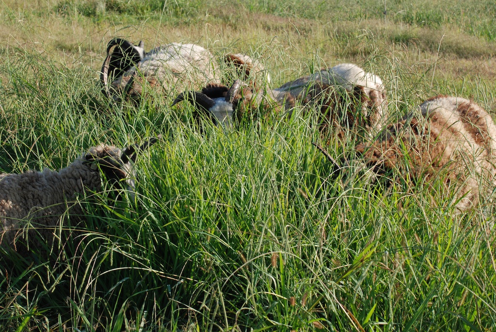
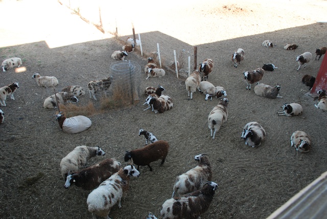
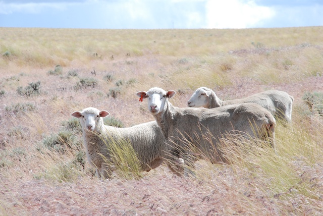
(Note: I don't know why the photos imported smaller and the spaces between text and photos are so large. I don't think I did anything different than usual. Sometimes this computer stuff drives me crazy.) I have plenty to do but when I take my camera with me life slows down.Sheep behind barn

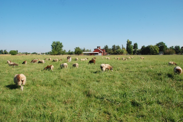
View behind the barn in the morning.

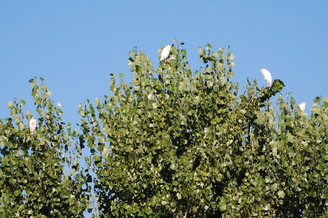
cattle egrets in tree

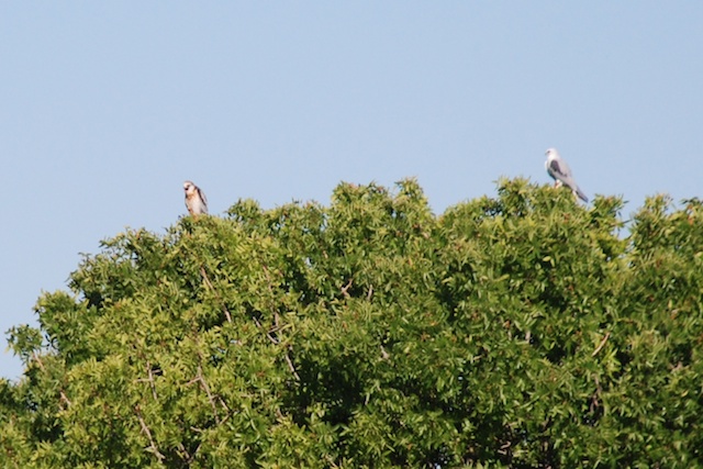
Cattle egrets roosting at the edge of the pasture.white tailed kite, adult and juvenile

White-tailed kites in the tree at the other edge of the pasture. I've been hearing a lot of squawking out of them the last few days. The one on the left with the brown feathers is a juvenile...."Dad, pulleeze let me have the keys."

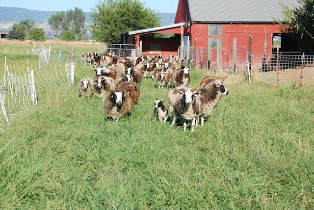
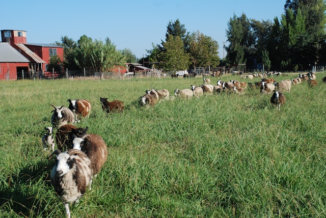
Views from the pasture.

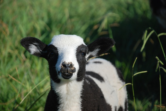
Sheep going to pastureSheep going to pasture14082 lamb

This is the ewe lamb born last at the State Fair.DSC_6787

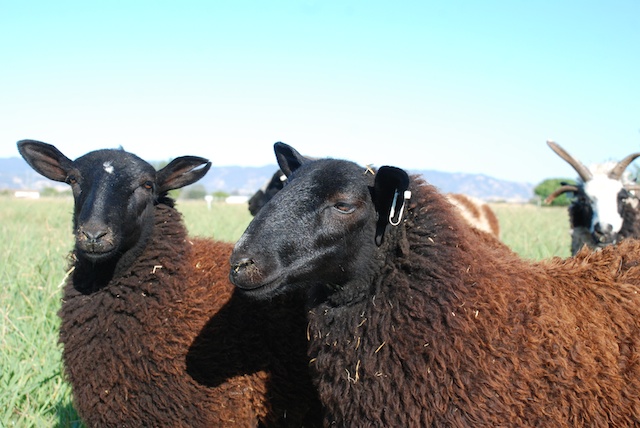
BFL cross ewes.

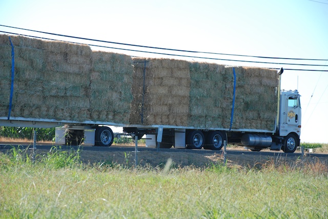
hay truck

Hay truck whizzing by. Won't you stop here?trefoil

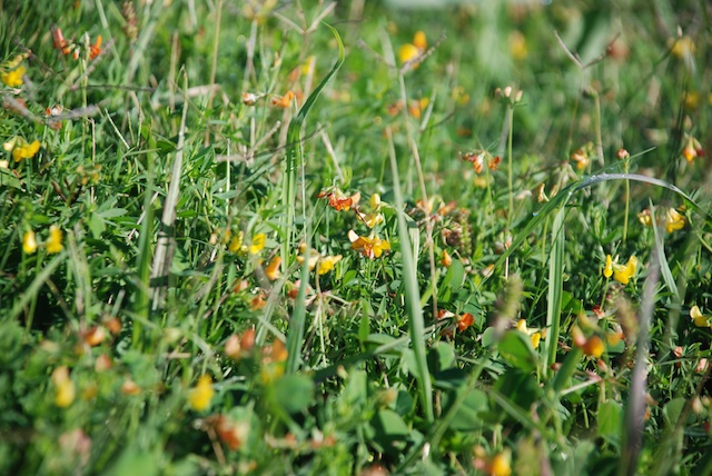
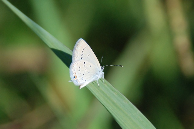
One of my favorite flowers because it is so good in the pasture. Birds foot trefoil.butterfly

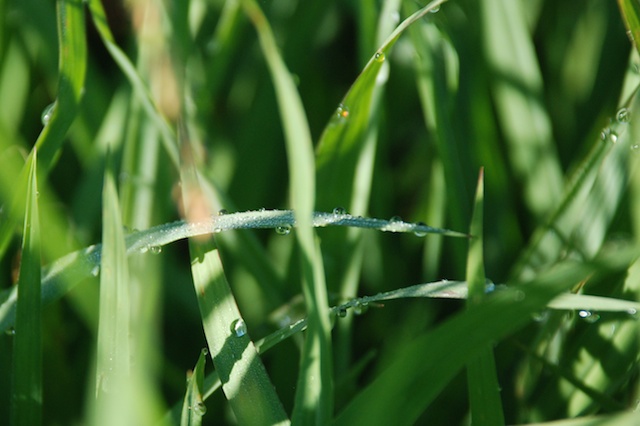
dew on grass

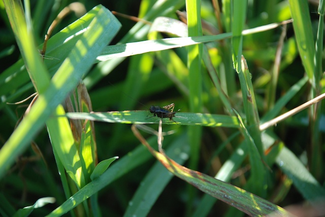
bug on grass

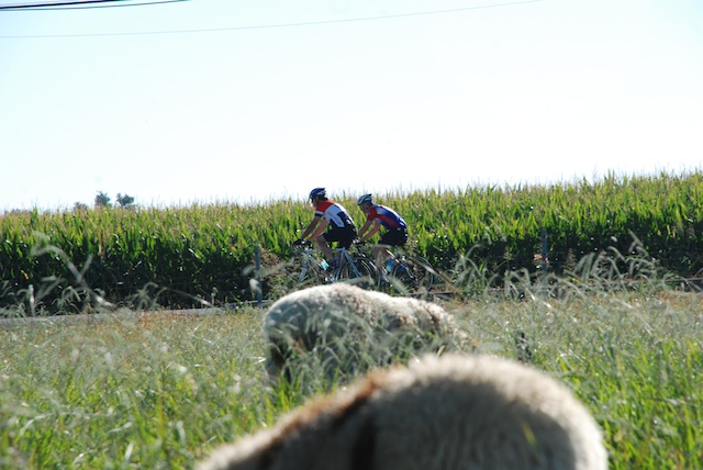
cyclists

DSC_6821

mockingbird

Mockingbird behind the barn.

rust on tin

Phyllis

Phyllis is the oldest sheep here.


Sheep Portraits

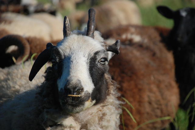
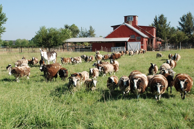
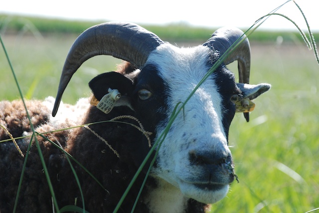
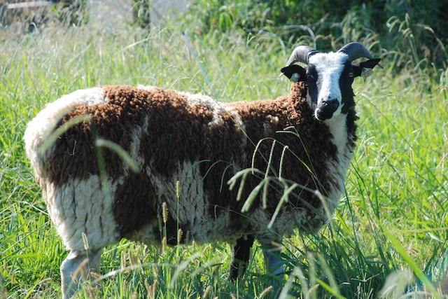
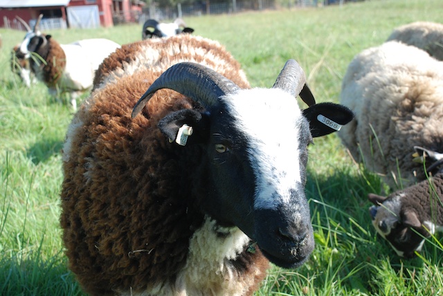
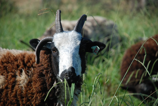
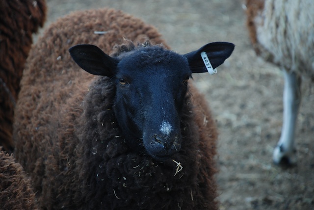
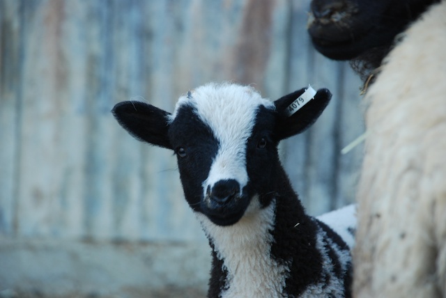
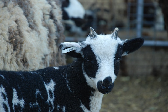
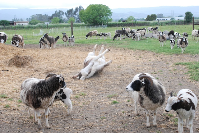
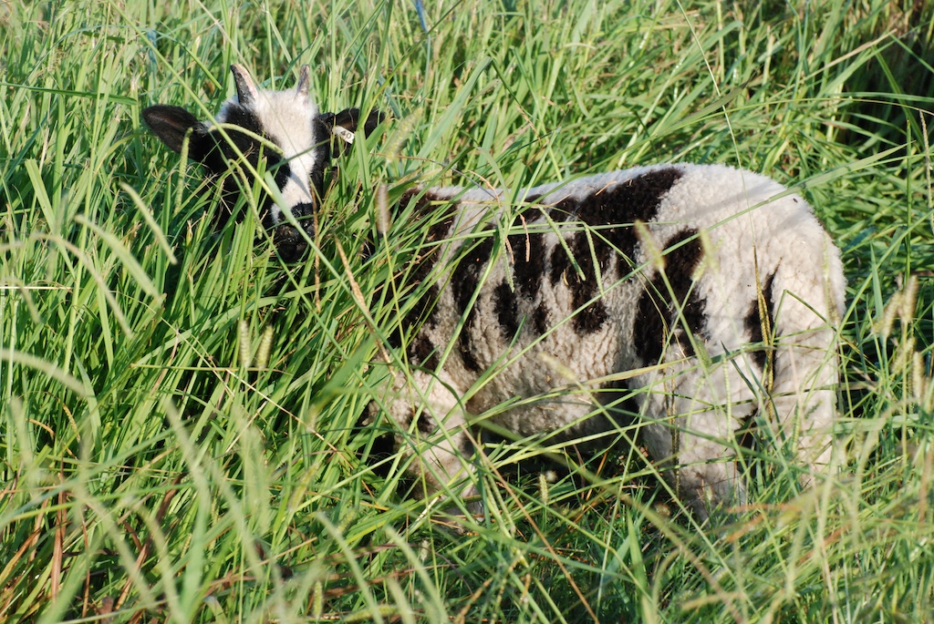
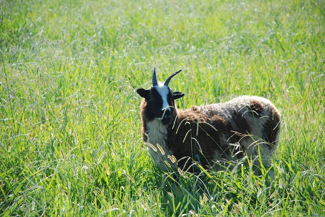
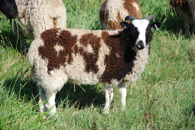
The sheep bed down around the barn at night and this morning took their time about moving to the pasture.Sheep going to pastureHere are some sheep who posed for portraits (and, for those of you who care, some ancestry info).829 Moon 5-year old Moon (bide a wee Yuri x Hillside Luna's Harvest)Matrix x Jazz Yearling, Sophia  (Kenleigh's Matrix x Meridian Jazz)13068 Cascade Yearling, Cascade (Meridian Miller x Meridian Sierra)13077 Mae Yearling, Mae (Meridian Miller x Meridian Mary). She must have been looking in the mirror when she wrote the number on her tag?14027 5-month old BFL cross who I am keeping. No name yet. (Faulkner x Dazzle)Miller x Vicki 5-month old lamb who may stay here. (Meridian Miller x Meridian Vicki)Hendrix x Alison  5-month old lamb who I want to keep (Meridian Hendrix x Meridian Alison) JimmySomeone is hiding behind the dallisgrass.Jimmy (1)  It's the wether, Jimmy...who I may just rename to Jake, because I tend to call all wethers Jake.OnyxThis is two year old Onyx, a BFL cross. 14079 This is one of the newest members of the flock. (Meridian Miller x Meridian Donna.) Six lambs were born in July at the State Fair.14080 This is her brother.lilac ram This is a gorgeous lilac ram lamb (Meridian Alex x Meridian Phyllis), just what I've been waiting for....except those horns on his right are growing together and his horn set will be horribly asymmetrical. He won't be registrable.DSC_6609 Out to the pasture. "Mom!"DSC_6612"MOM !!!"DSC_6668  

Road Trip - Days 8 & 9

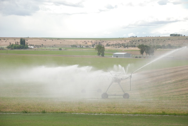
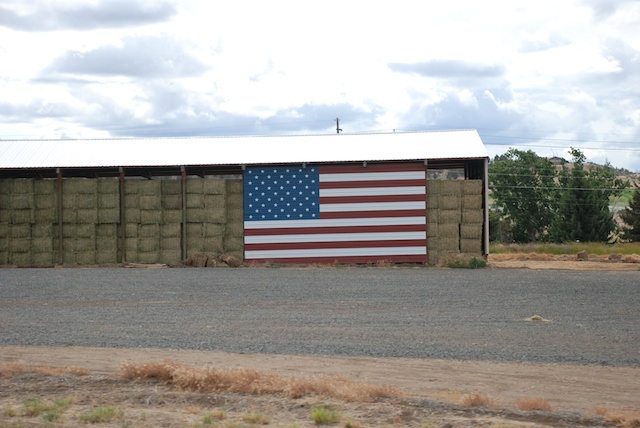
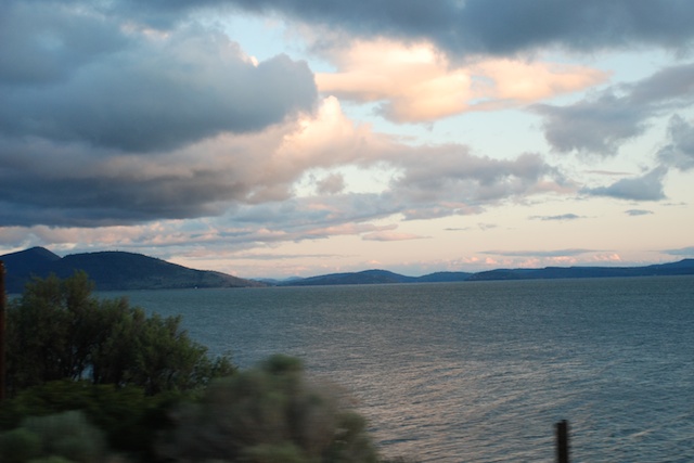
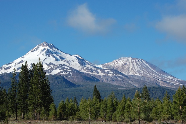
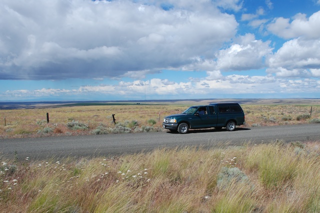
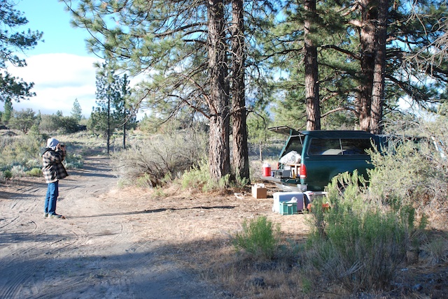
After leaving Imperial Stock Ranch in Oregon we were heading home. There are a lot of landscape photos at 70 mph in this post. I could have left out the blurry ones, but...hmmm...then I wouldn't have all the impressions that I want to remember. Sorry. It makes me appreciate other people's very sharp photos that much more.   Leaving Imperial Stock Ranch The trusty green truck that Dan got for $5 when his dad moved to Hawaii. Landscape off Hwy. 97 in north-central Oregon.DSC_5220 pivot  DSC_5233 Sunset on Klamath Lake Sunset over Klamath Lake in Oregon. It was dark as we were looking for a place to camp along the road in California. I realized later that Dan had an ulterior motive for wanting to make it as far as Military Pass Rd., off of Hwy. 97 before it joins up with I-5. If you want to hike the north or east sides of Mt. Shasta that is where you find the trailheads and he wants to do that trip before he goes back to teaching in August.campsite in morning, Military Pass Rd. We found a place off the main road, ate what was left in the ice chest, and went to sleep. This is what it looked like in the morning.Mt. Shasta from Military Pass Rd.This is the view from our "campsite".DSC_0522It's always a thrill to see Mt. Shasta when you drive into California from the north. The peak is 14,162' and Shastina to the west is 12,330'. DSC_5251
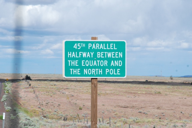
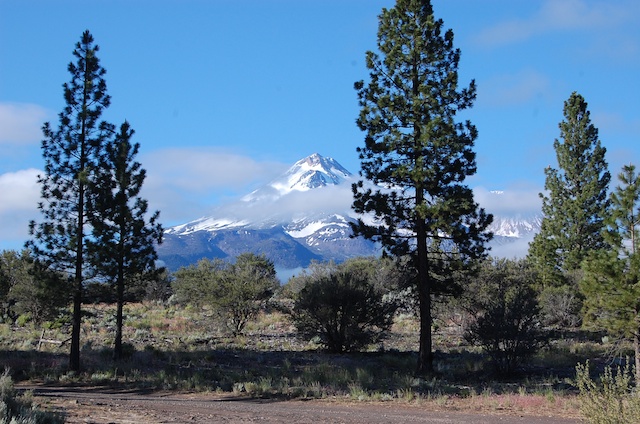
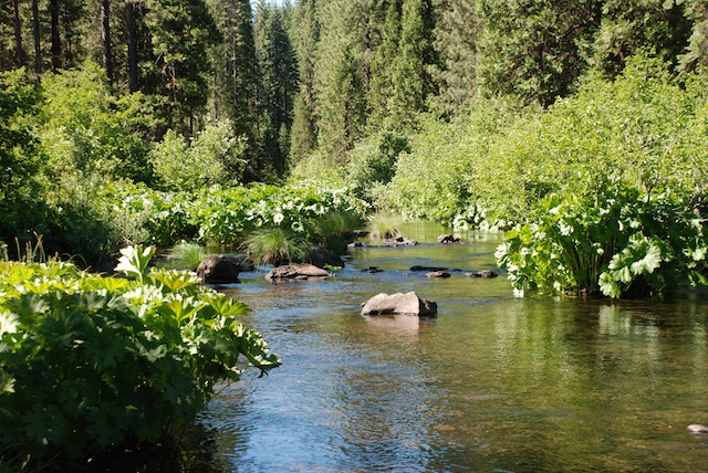
We spent the morning driving  the roads that circle Mt. Shasta to the east and finally join up with the highway to head south.DSC_5254McCloud River We stopped several times at campsites and trails along the beautiful McCloud River.McCloud RiverDSC_5270 DSC_5280

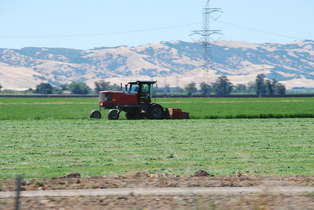
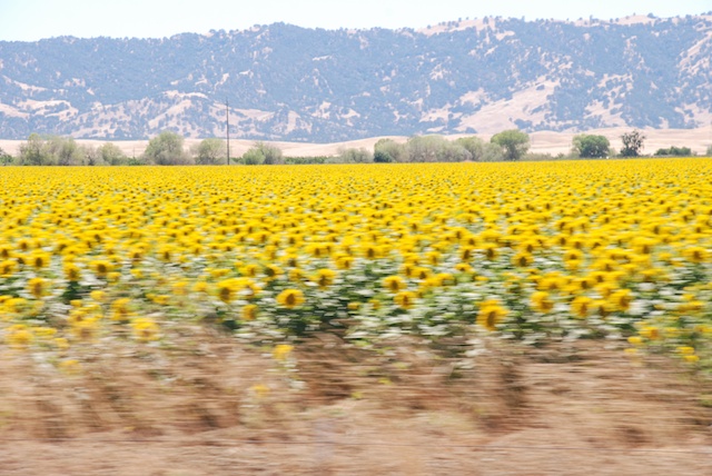
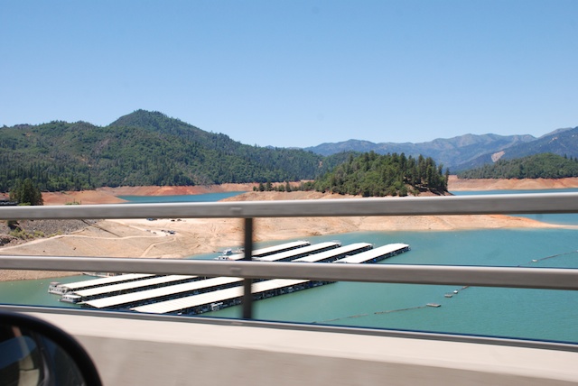
Finally on the last leg home. No more stops.Shasta Lake in drought Passing Shasta Lake, indicative of California's severe drought. This is only June and the lake should be filled with snowmelt.Dry hills Dry hills typical of the Mediterranean climate of California. Most parts of California have dry summers and wet winters. We depend on the winter rain and snowfall to fill reservoirs and replenish acquirers to be able to produce the abundant agricultural crops that California is known for. farmland, rice fields With irrigation this is what the Central Valley looks like. This is a rice field.Yolo County This land is usually brilliant green from about October into April. The brown landscape is normal for unirrigated land. However, last year we had an early rain (September?) and then nothing. What grass germinated died. Many ranchers who depend on the fall grass to feed their cattle and sheep had to sell their livestock. The next rains came in January and they were meager. There was not enough rain or snow, especially following other years of relatively dry conditions, to catch up. You can read about the affect of the drought on California's farmers and ranchersat Voices from the Drought on Facebook.dry hills, yolo countyfarmland, new vineyardalfalfa Harvesting hay.sunflowersSunflowers at 70 mph. The dry hills are typical of California in the summer. The valley crops are grown with irrigation water.
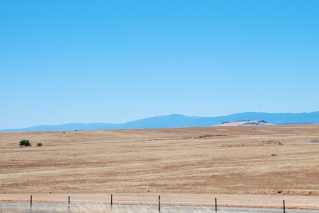
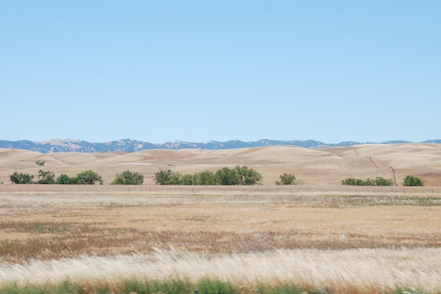
Well, I got sidetracked into a semi-documentary. These photos in Yolo and Solano Counties meant that we were getting closer to home.

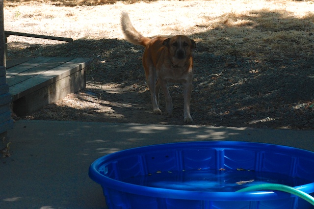
Here is who greeted us when we pulled in (my camera doesn't seem to be doing any better at 0 mph).
DSC_5316 DSC_5317We had a wonderful trip but it's good to be home.


Road Trip - 2nd half of Day 8 - Oregon

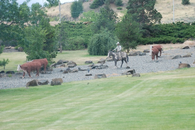
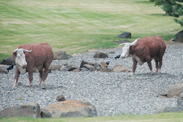
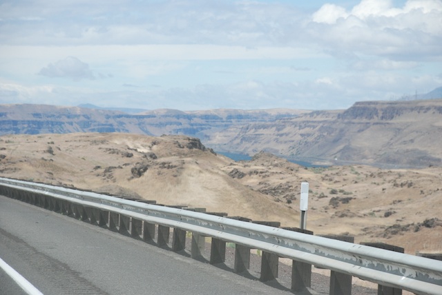
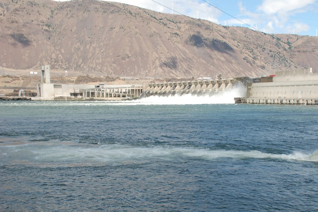
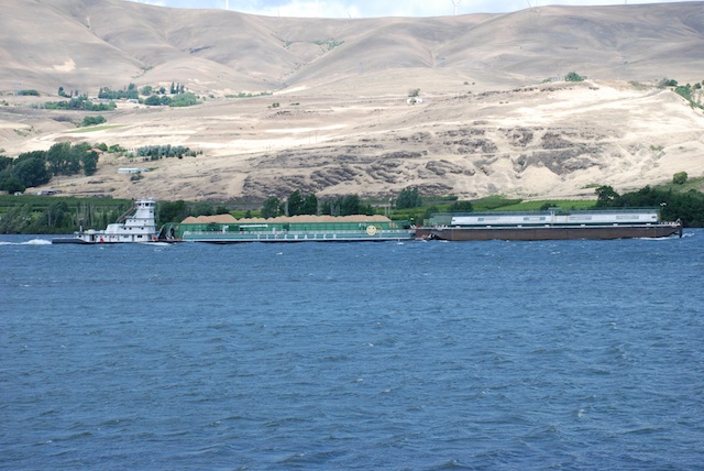
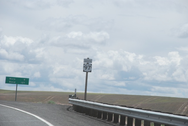
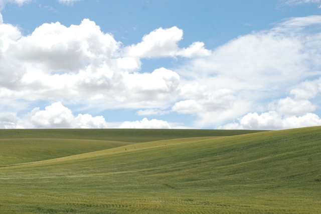
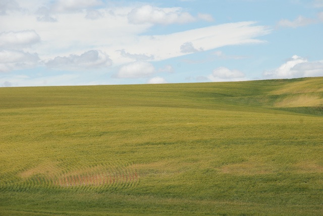
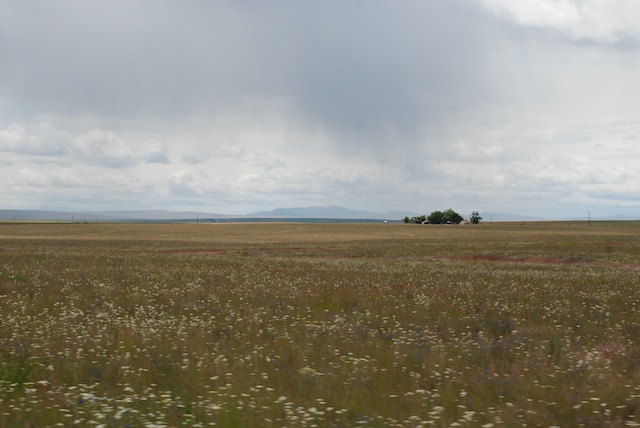
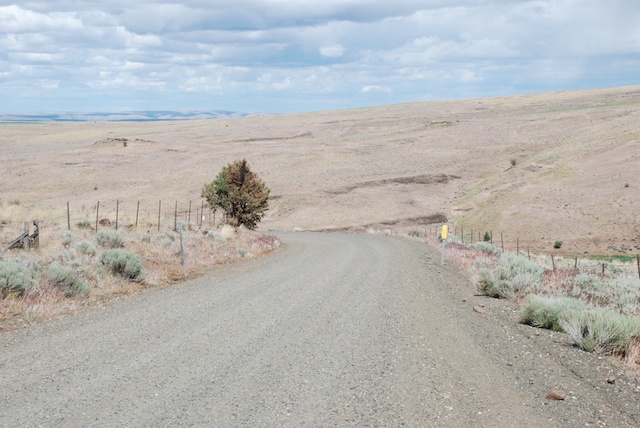
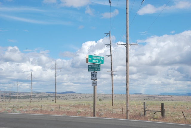
After touring Pendleton Woolen Mill we got on the road again. Just as we were getting on the freeway to head west we saw this scene:PendletonHerding cattle next to the freeway and across lawn? Look again.Pendleton These are beautifully made full-size sculptures.DSC_5105Not far from Pendleton Highway 84 meets up with and then follows the Columbia River. John Day Dam We followed the Columbia River. This is the John Day Lock and Dam.DSC_5120 In some places we saw windsurfers on the river, but elsewhere there were huge barges. I don't have photos but we also saw several bighorn sheep on the rocky cliffs just south of the highway in this area. DSC_5128We turned south onto Highway 97 which would take us all the way to California.DSC_5126 More stunning landscape, sky and wide, open spaces.DSC_5134 Rolling hills of wheat.DSC_5142 Isolated ranches and distant mountains. We passed the town of Shaniko (population of 36 at 2010 census) which was known in 1900 as the Wool Capitol of the World. The largest landowner at the time was R.R. Hinton who had first homesteaded in the 1870's and continued to purchase land until his Imperial Stock Ranch became the largest individually owned ranch in Oregon. The Imperial Stock Ranch eventually ran 35,000 head of sheep in 12-14 bands that would winter on the home ranch and be trailed to summer range on Forest Service land. Hinton was involved in breeding programs that led to the one of the first sheep breeds developed in the U.S., the large-framed, fine-wooled Columbia sheep, originating from Lincoln and Rambouillet ancestors.  The newly formed town of Shaniko (built as the railroad reached the area) was less than 15 miles from the Imperial Stock Ranch's headquarters,  and its wool warehouse shipped 4 million pounds of wool by rail in 1901.DSC_5166Imperial Stock Ranch is now owned by Dan and Jeannie Carver and they have developed the Imperial Yarn Company using Columbia wool produced on the ranch and elsewhere in the state. This is some of my favorite yarn in the shop and I have recently been using it to weave blankets. Since we were going to be driving through this part of Oregon I had asked if we could visit the ranch. The photo above is the road into the headquarters. DSC_5158

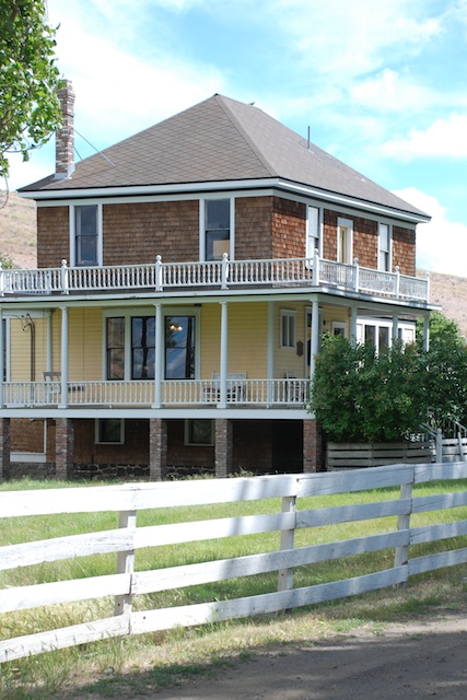
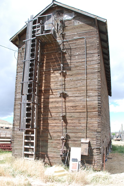
Keelia, lives on the ranch and was there to show us around the headquarters. This is the house built by R.R. Hinton, now headquarters of the Yarn Company.DSC_5160The headquarters complex has been entered into the National Register of Historic Places and the history of the buildings and the Hinton family are available for review.Silo

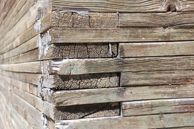
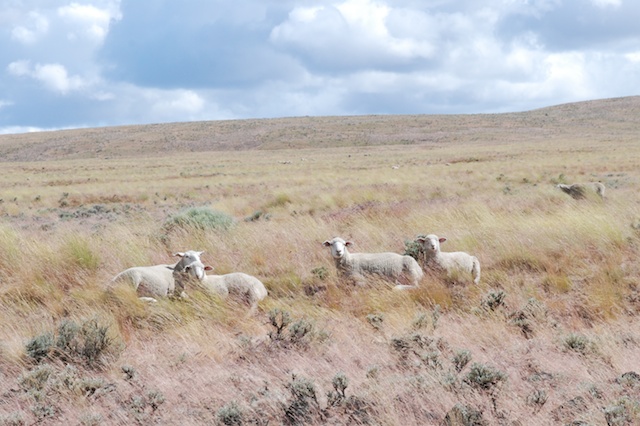
The grain silo. See the detail of the construction below. Silo This is one sturdy building.  We also saw the shearing shed and other buildings that are still in use.IMG_0095A few bottle lambs hand out under the house to greet visitors.DSC_5197 As we left the ranch headquarters some of the sheep were near enough the road to get some photographs of them in this majestic setting.DSC_5203DSC_5209DSC_5217Back on the road on the last leg of the trip.
Next post: California's scenery isn't too shabby either. Mt. Shasta and home.


Road Trip - Day 5 - Yellowstone

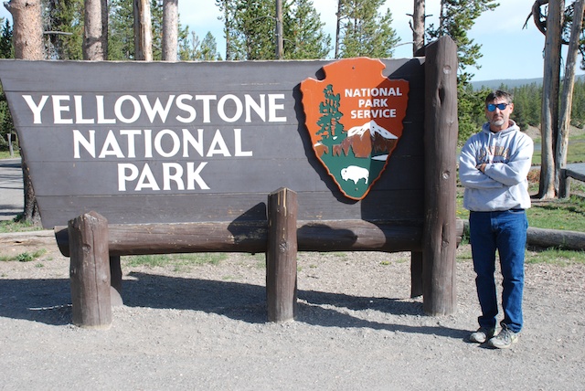
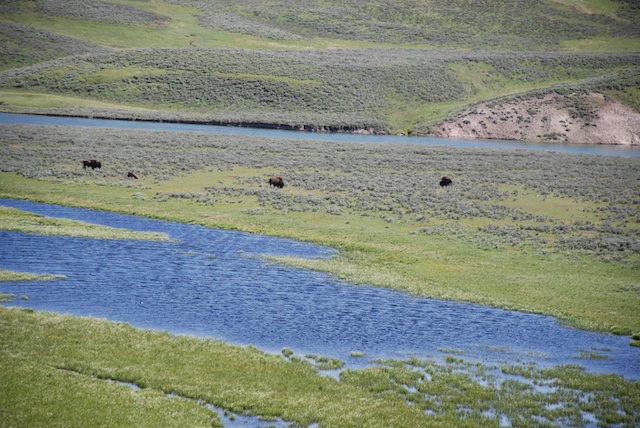
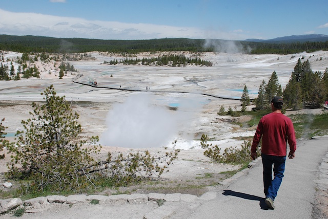
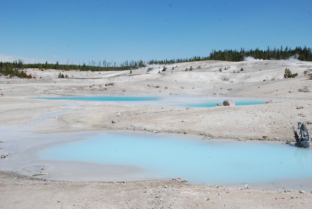
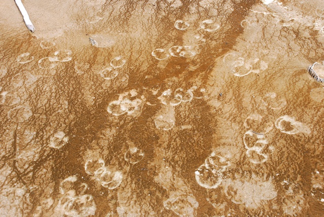
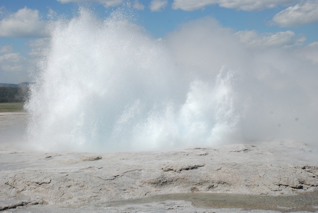
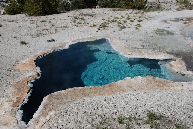
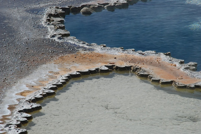
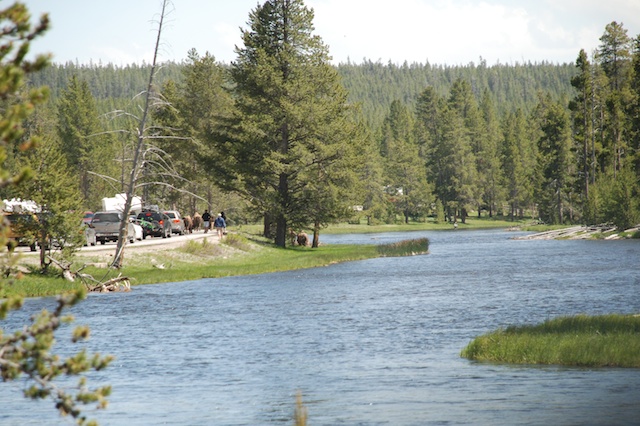
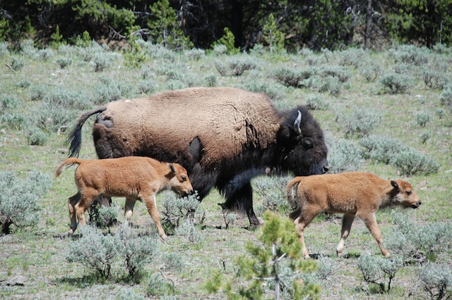
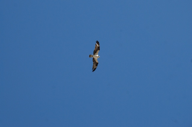
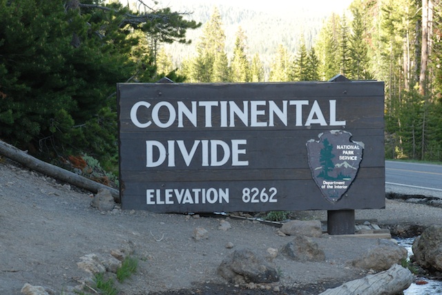
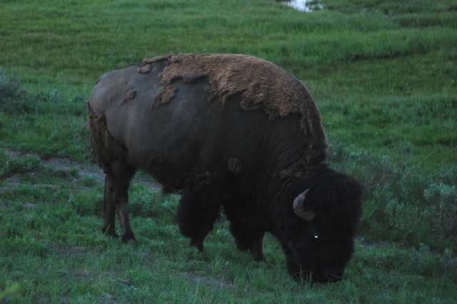
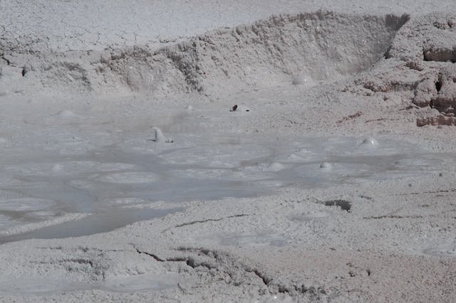
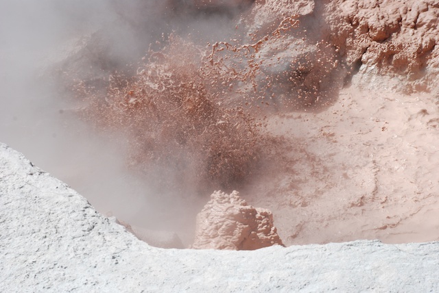
The mosquito situation in camp was no better than the night before so we didn't linger in camp on our fourth morning. We took just enough time to get our food out of the bear box and for Dan to make his coffee and we got on the road. There are plenty more trails to explore in the Tetons and I hope to make it back there some day.DSC_4525 But this was our next stop and we had two days to see as much of it as we could.Bison Not far into the park we saw our first bison. Initially we didn't stop for much  because we needed to find a campsite in one of the non-reservation campgrounds. After we secured a spot we were free to plan the day. There are two main loop roads in Yellowstone and we spent the first day exploring the southern one. DSC_4530 This is the Norris Geyser Basin, not far from our campground. That steam on the left was rising out of the ground with the sound of a roaring a furnace. The trail traverses this valley and there are steamy, boiling, gurgling features everywhere. I took Geology my first quarter of college and decided that I would not be a geologist. I am definitely more of a life sciences type, but I can be awed by these spectacles even if I don't know the physical science behind them. This landscape is all about color, patterns, bubbles, steam, explosions.DSC_4538   Bison footprints Bison footprints.DSC_4576  DSC_4597 DSC_4604 DSC_4616 DSC_4655 Blue Star Spring in Upper Geyser Basin Upper Geyser Basin Then there is the wildlife.Bison on road along Firehole RiverOn the way south towards Upper Geyser Basin (where Old Faithful is) traffic was stopped on the road. Going around a turn we saw the cause. Bison were walking alongside and on the road. Why not? It was certainly the easiest way to get from one meadow area to another, especially where this canyon narrowed. Passengers scurried ahead of their cars (leaving drivers) to get a better look.DSC_4568Eventually it was our turn to pass the three dozen or more bison as they turned from the road and moved into the forest.Osprey  Osprey over the Upper Geyser Basin. We got to the Visitor Center and Old Faithful just minutes before Old Faithful was due to erupt. After watching we faced a furious wind as we walked a couple of miles along the boardwalks and trails that traverse the Basin, seeing more of this amazing landscape. Craig Pass, It was getting later in the day as we completed the loop road to get back to camp. The road crosses the Continental Divide a couple of times in this area. Living on the West Coast we always think of all water ending up in the Pacific, but crossing the Divide twice in a short distance made me think about it.  We had been following two major waterways, but they end up in different places, the Snake River flowing westward and the Yellowstone River flowing east.DSC_4741 As dusk falls even more animals are visible, although not easy to photograph. It was dark by the time we got back to camp for dinner. I walked up the hill to the bathroom and a woman who was waiting while her cell phone charged pointed out to me what looked like … nothing…well maybe more black than the rest of the dark. There were two bison munching on grass right next to an RV. In the dark it was as though there was a Black Hole. I would never have known they were there. The woman told me that the bison had just walked around the bathroom and stopped to graze there. At that point I decided that the weak batteries in my headlamp were not adequate for the task of walking around Yellowstone at night. 
No moths or mosquitoes at this campsite, but it was dark when we got back, we were out of firewood and it was cold. We quickly cooked our spaghetti and some hot chocolate and went to bed.

Stay tuned for Day 6.

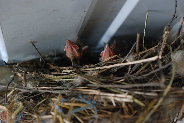
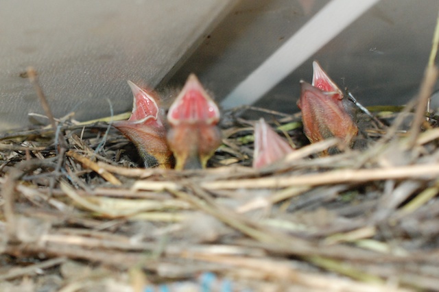
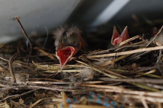
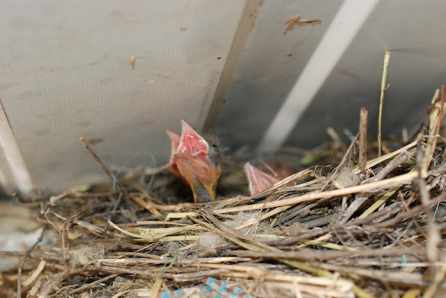
Only a Mother Could Love...


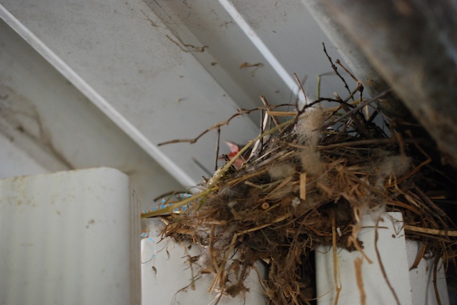
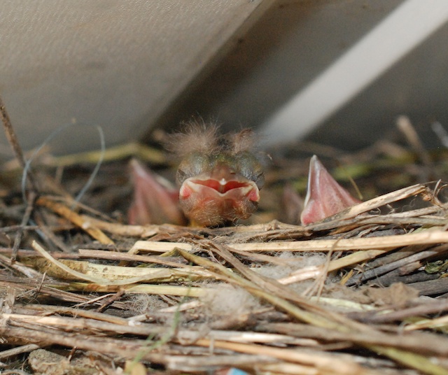
There are dozens of baby birds in the barn. DSC_3232 This nest is at the top of a bunch of rain gutters and downspouts that I (with great intentions during  a severe storm) bought a couple of years ago and are obviously not yet in their proper place. Note raw material easily found in around the barn.DSC_3243 They remind me of Dr. Seuss characters.DSC_3257DSC_3245 "MOM!"DSC_3254 DSC_3256 Or maybe more something from Jurassic Park. I think you have to be a mother bird to love this face.

Things I see on the way to the barn

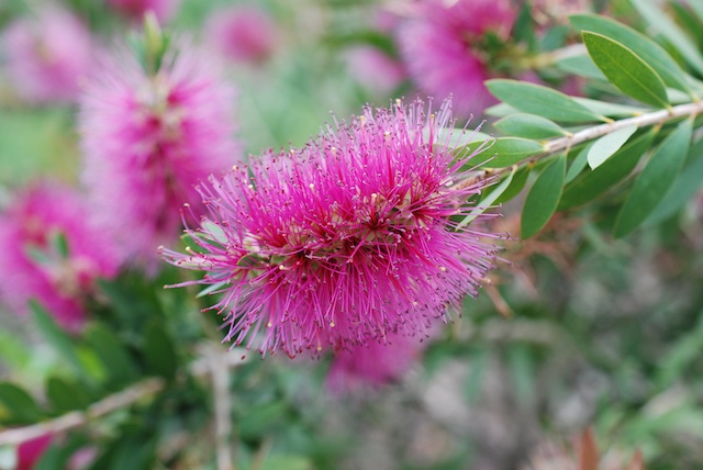
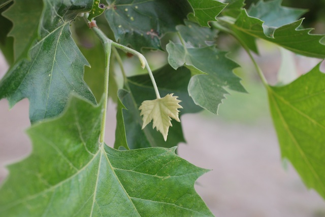
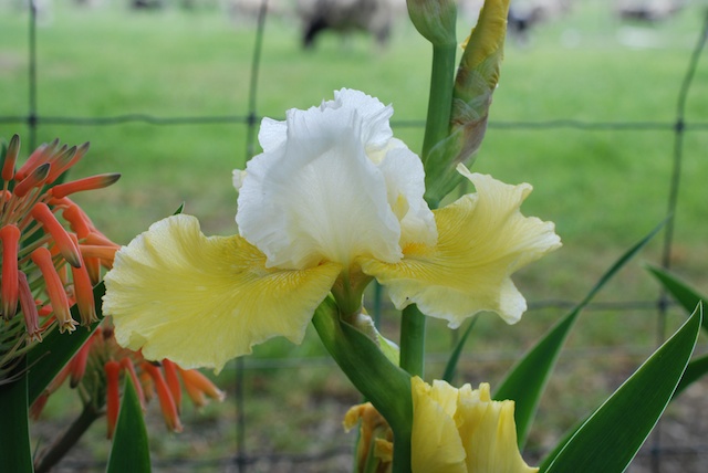
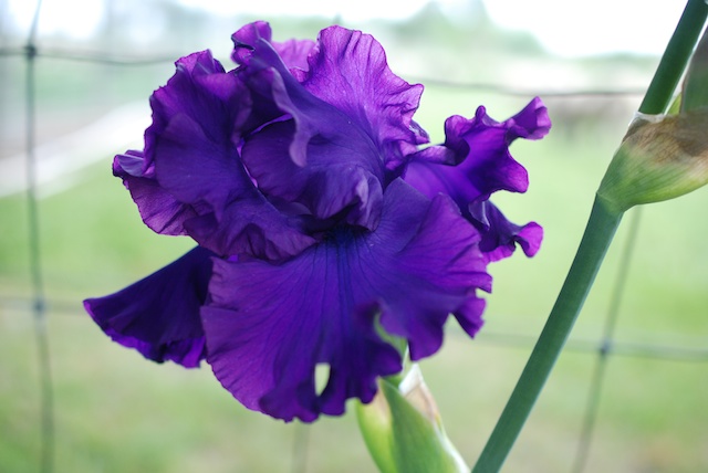
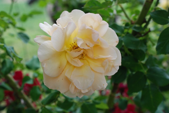
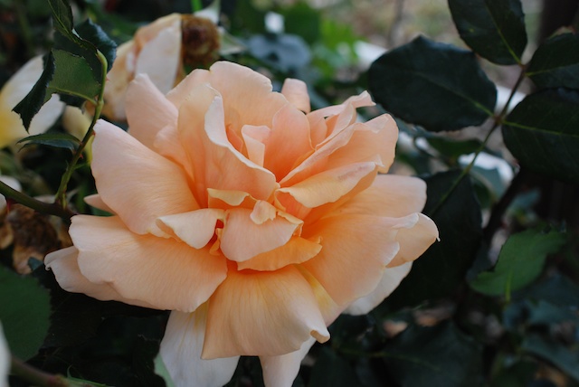
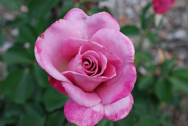
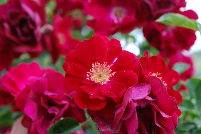
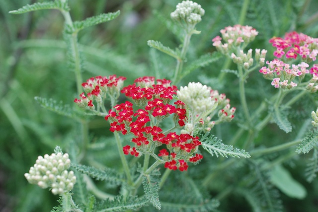
Bottlebrush Pink bottlebrushDSC_2601 Look at how tiny this new leaf is. Iris (1) One of my special iris plants that I got from Pleasants Valley Iris Farm.Iris Another one of the special irises.Rose (1) This rose  looks fairly common but the fragrance is spectacular.RoseSame for this one.Rose (2) These roses were on this property when we moved here in 1999. We moved them to their current locations. They don't get much TLC, but hang in there.Rose (3) Several of the roses also have branches from rootstock growing up around them. I can easily identify those branches when they are flowering, but I hate to cut them off when they are so pretty.YarrowYarrow.DSC_2672Amaryllis (not a flower).

Backpacking at the Lost Coast - Day 2

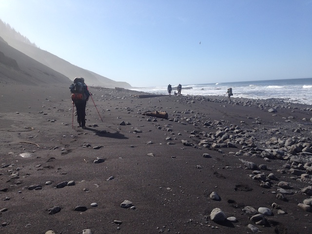
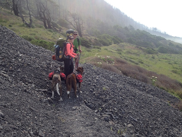
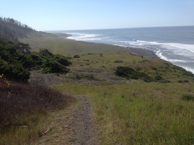
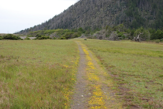
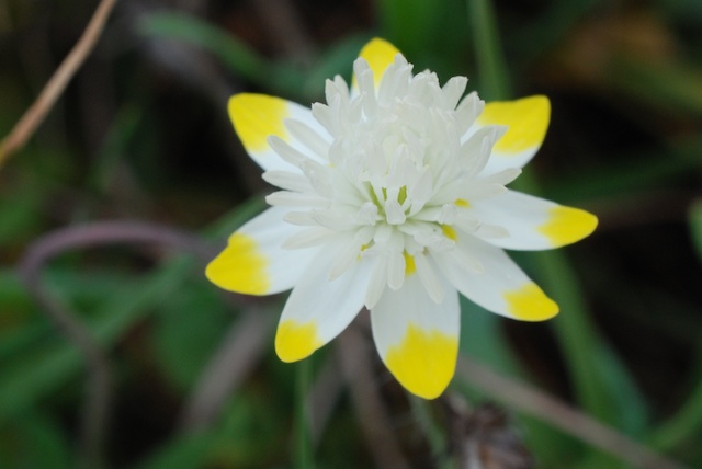
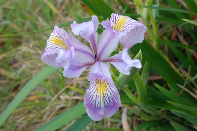
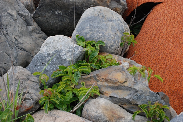
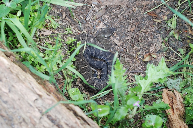
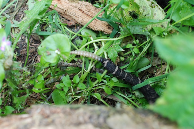
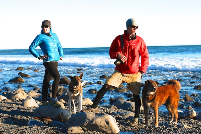
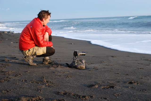
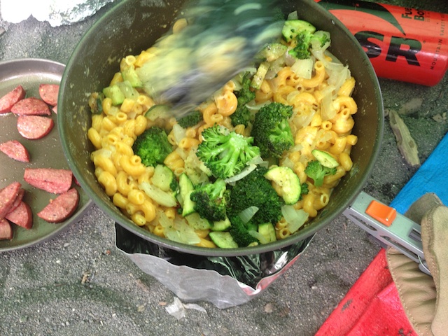
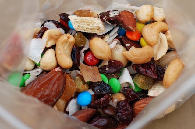
The goal for this morning was to hike south to Miller Flat where we would spend the night. IMG_9531IMG_9538IMG_9543DSC_2472After we set up camp I did some more exploring. Walking another mile or so was no problem once I was able to ditch the pack. The scenery and flowers were spectacular.DSC_2454DSC_2443DSC_2468Wild iris.DSC_2475As I've said in other posts the poison oak can be very pretty although its definitely best to avoid it. Back at camp there was no shortage of wildlife, although I wasn't able to do much about photographing sea lions or a river otter with my 40mm lens. (I tried, but won't bore you with those photos where you have to know which speck is the subject animal.) DSC_2404DSC_2428 Kaleena was photographing one of her favorite flowers right next to camp and was about to step over a log when she saw this:DSC_2430DSC_2436 It eventually slithered under the log. Maybe the beach is a safer trek.DSC_2311My kids could be active-wear models.DSC_2521This made me nervous. Matt wanted to get photos of the surf as it rolled in under his camera.IMG_9570Another great dinner. This time it was mac and cheese with fresh veggies followed by s'mores with your choice of graham crackers or fresh apple slices or both.Trail mixOf course there was always trail mix for snacking.DSC_2517  
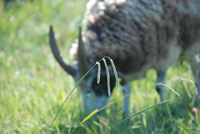
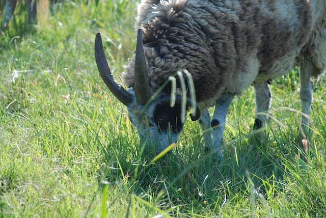
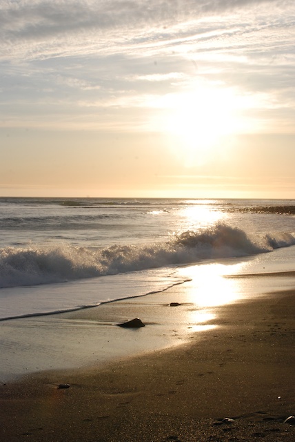
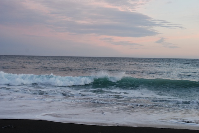
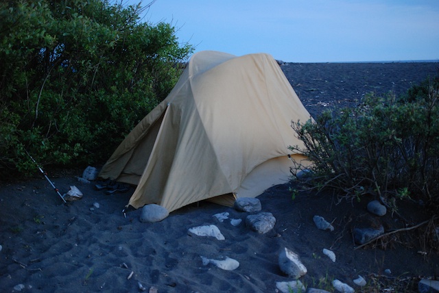
Sunset on the beach.DSC_2542 The  colors of the sky and ocean changed to pinks and greens as the sun went down.        DSC_2563 My tent at dusk. (Rainfly necessary this night.)


At the Loom

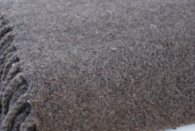
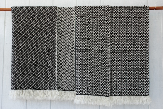
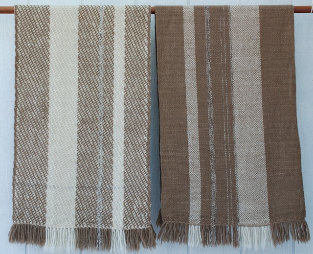
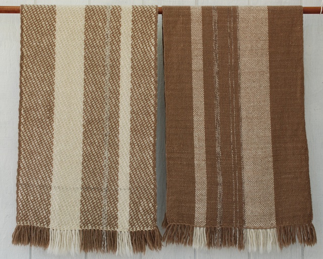
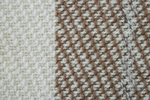
It hasn't been all hiking and lambing. I've been at the loom too.King size blanket This is a king-size blanket I wove for a customer who had their llama/wool yarn spun at Yolo Wool Mill. I also wove 2 throws for this person. 859-1, 859-4These are two lap blankets woven of wool from sheep at the Barinaga Ranch, a sheep dairy in Marin County.859 Lap blankets-AWBThis is a close up of all four blankets on that warp. The brown weft is Jacob wool dyed with black walnut. I'm always trying to get better photos. The photo above is shot on AWB (auto white balance). The one below, shot on the cloudy setting, isn't that much different, although on my computer the AWB photo has more of a bluish cast.859 Lap blankets-cloudy But look at the next one.859 Lap blankets-shade  The white balance was set to "shade" which is where I took the photo. What is reality? I think it's closer to the top two.860-2, 860-3-AWB I just finished a warp for three shawls. This is CVM yarn in the warp with different locally produced weft yarns.  860-2, 860-3-cloudy Same shawls with white balance set to "shade".Shawl detail Detail of shawl on the left.
 

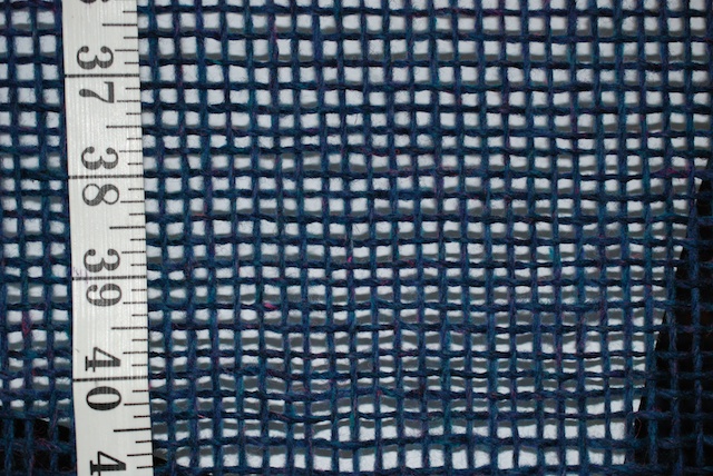
Imperial yarn, Columbia This is on the loom now. An experiment. Hopefully all those holes will fill in when it is finished.

The pieces above will be for sale on my website and at the Fibershed Marketplace after our photoshoot that is in a few weeks.

Photographic Challenges

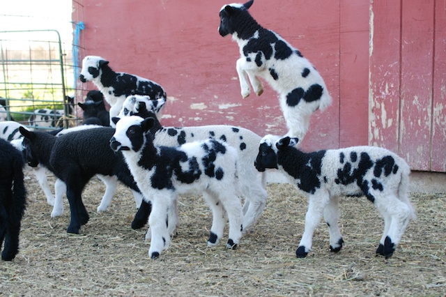
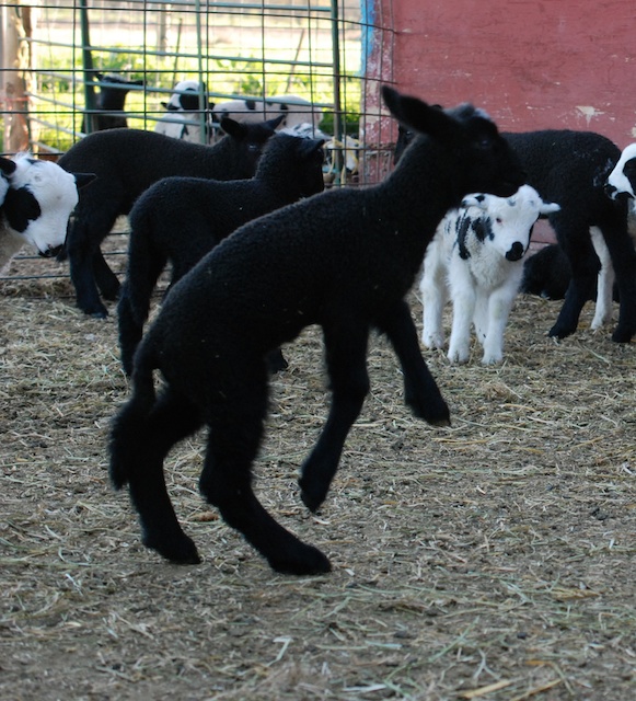
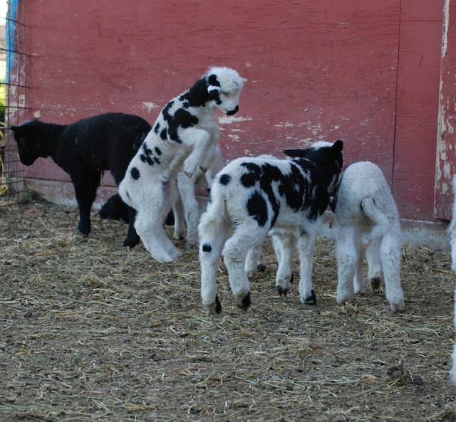
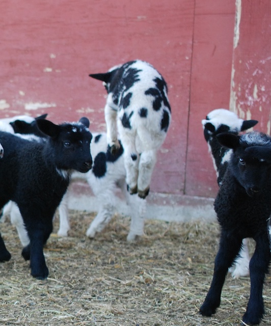
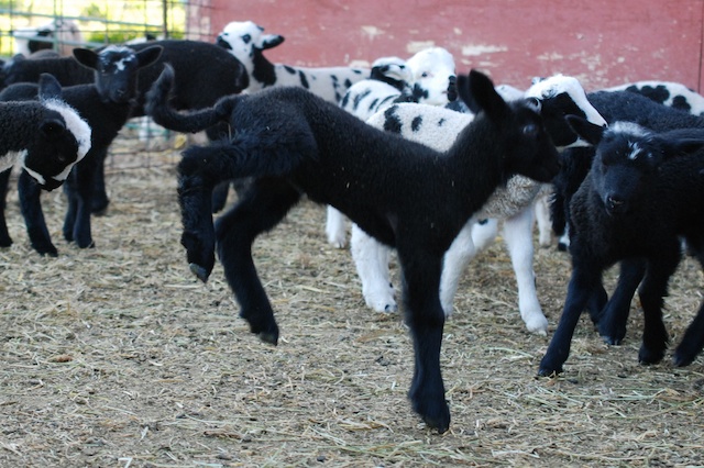
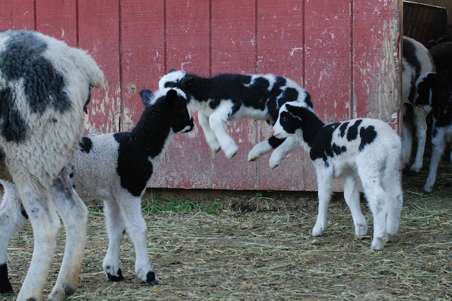
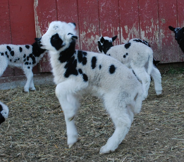
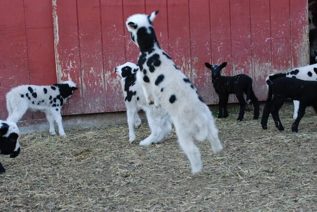
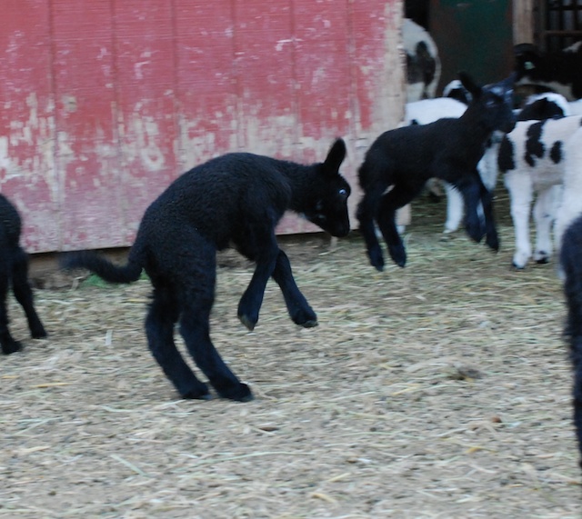
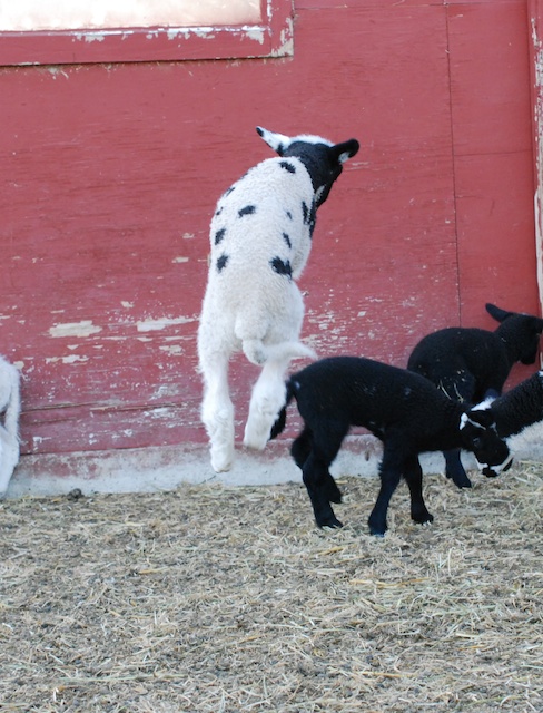
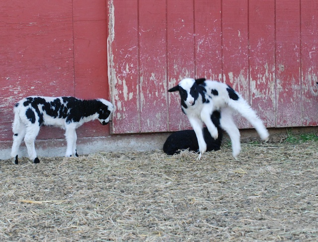
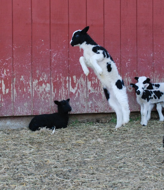
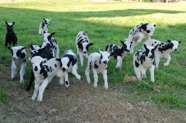
This is the year that I am determined to get those perfect jumping lamb photos. I have posted some others here and in other posts. I welcome any advice from you photographers out there. My lens info is at the end of this post. DSC_0082 Too darn many lambs in the way.DSC_0093The lambs are most active in the evening when there is lower light. I am shooting with a larger aperture and therefore more shallow depth of field. Notice the lamb in focus is not the one that is jumping. In addition, those black lambs are hard to photograph in detail. DSC_0092 More lambs in the way. DSC_0095Lambs in the way AND depth of field issues.DSC_0097 Same problems.DSC_0101 And more lambs in the way.DSC_0114 Focal length issues again.DSC_0115 Lambs facing the wrong way.DSC_0159 Focal length and shutter speed issues.DSC_0167 I think I got this one on depth of field. Too bad the lamb is facing the wrong way.DSC_0179 Sort of OK but needs a faster shutter speed to really get it. Also the black one lying down is distracting.DSC_0180 This photo probably has the fewest issues.DSC_0194The running lamb photos have similar challenges. These photos were all taken with my Nikon 40 mm f 2/8 lens to take advantage of the larger aperture but that gives me the more shallow depth of field. My other lens is the 18-135 mm f/3.5-5.6. Any recommendations?
Hiking Close to Home

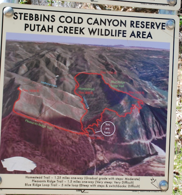
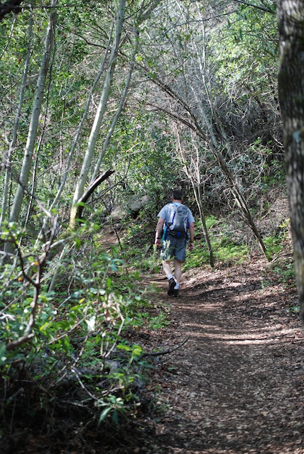
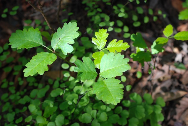
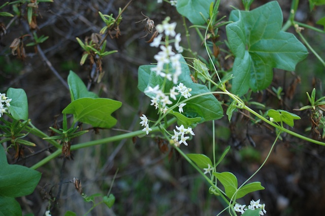
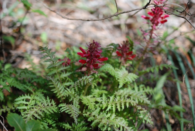
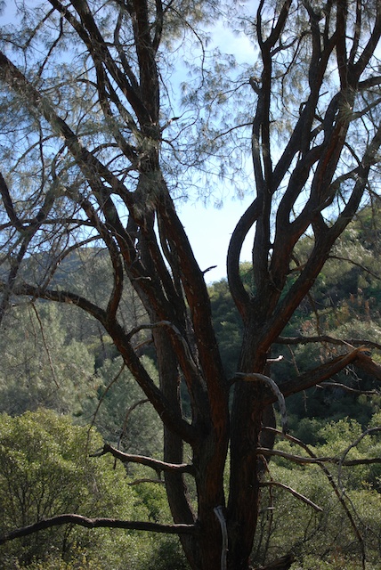
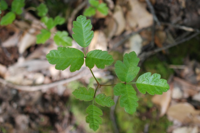
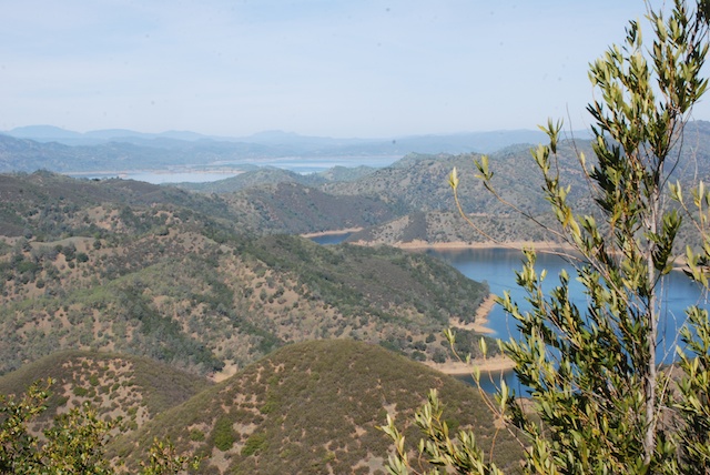
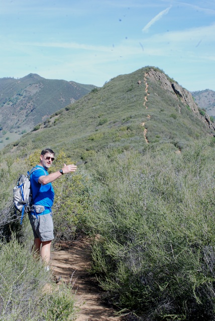
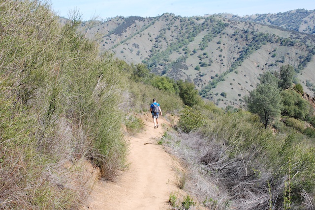
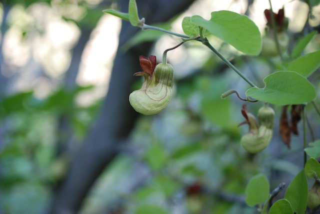
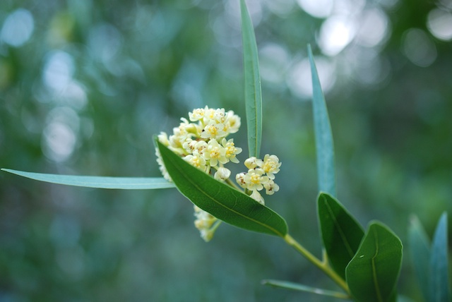
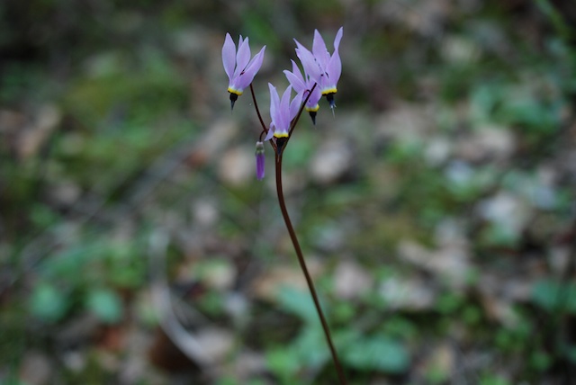
Dan suggested hiking today. The closest place for a hike is to go to Stebbins Cold Canyon Preserve in the Blue Ridge Mountains southeast of Lake Berryessa. There is a five-mile loop trail that has enough elevation change to make you feel as though you had a workout, especially for us flat-landers.DSC_0064Do you see those switchbacks on the map? The rest of that isn't exactly flat. This was perfect timing to hike in this area. We finally had enough rain for grass and wildflowers to grow (although not nearly enough rain to make up the deficit).DSC_0031Dan walks. I keep stopping to take photos and then I catch up. This is the lower part of the area in Cold Canyon where there is a lot of greenery. It is a completely different ecosystem than what you find up on the ridge.Poison oakIt is good to stay on the trail because there is poison oak everywhere. Even if dogs were allowed on this part of the hike I wouldn't bring them because they would be covered with it.Dutchman's pipe The interesting flower of CA Dutchman's Pipe or CA Pipevine (Aristolochia californica).CA Bay California Bay Laurel (Umbellularia californica)DSC_9997Shooting Star (Dodecatheon)Wild cucumber or Manroot Wild cucumber or California Manroot or California Bigroot (Marah macrocarpa). The flower books say that the root of this deciduous vine may weigh 50-100 pounds.Indian WarriorIndian Warrior (Pedicularis densiflora) is parasitic, attaching to the roots of other plants.Digger pineAs you leave the canyon and start climbing through the chaparral the vegetation changes. This is a beautiful big digger pine.Poison oak  Did I mention the poison oak?DSC_0043 View of part of Lake Berryessa.DSC_0045More climbing to do before we start the downhill.DSC_0051 We didn't get enough rain this year for the grass to grow up through last year's old dead grass. Those hills are faintly green, but not enough.Dan saving my lens cap.  Dan recovered my lens cap after it rolled several feet down slope. Most of that is not poison oak, but "most" isn't "all". My hero.