Road Trip - Day 7 - West to Oregon
/The plan for this day was to end up near Pendleton, Oregon because I wanted to go on a tour of the Pendleton Woolen Mill on Monday morning,
This was another early morning with no dawdling around camp. No rain or snow, no moths or mosquitos (see earlier posts), but it was cold and we had places to go. Before we left Yellowstone we checked on a couple of sites that we hadn't seen during the previous two days. Boiling mud at Artists' Paintpots
 There are no photos, but we were struck by the crass commercialization of the town of West Yellowstone, just outside the West entrance to the Yellowstone. It made us very appreciative of the Rockefeller Parkway, that preserves 24,000 acres connecting Grand Tetons National Park and Yellowstone. Some of this land was purchased by John D. Rockefeller, Jr. to prevent commercialization and ensure preservation of the Yellowstone Basin ecosystem. It is now administered by the National Park System.
 Once on the road we didn't stop very much so many of my photos are from the highway. I was continually amazed by the huge pivot systems up to 1/4 mile long which means they are irrigating circles of 1/2 mile in diameter.
  We were entertained by following our map books. We started out with California and Nevada. I think we picked up Idaho somewhere on the way. Later we found Montana and Wyoming in a used bookstore in Jackson, WY. Eventually we found Oregon in a bookstore in Pendleton. We found these books to be a way to keep the travel interesting even in the broad stretches of "nothing" in the high desert landscapes. There are always geological formations, land features, mines or mountain-tops with names and the books offer much more detail as far as land ownership and dirt roads than regular road maps. The books came in particularly useful when we wanted to camp along the way and find roads into Forest Service land. (Yes, I also have an iPhone and I use it, but there is not always service and sometimes it's just easier to see the whole thing on one page.)
 On Day 2 we got interested in the fact that our route followed the California Trail used by the pioneers in the 1800's. Now we were following the Oregon Trail. These map books also indicated these trails and all the interpretive centers along the way.
 We stopped at Glenn's Ferry and spent about an hour at their historical center.
 This is called Three Island Crossing (those larger trees are on islands in the middle of the river) and is where the covered wagons crossed the Snake River. The river was much different before it was dammed and the crossings were dangerous.
While traveling in Idaho I discovered this very cool Auto Tour Route Interpretive Guide of the Oregon Trail as it follows the Snake River in Idaho. This guide includes info about the trail, the events that occurred at specific sites along it, and excerpts from pioneer diaries. I'm not much of a history buff but this was a fun way to learn more about this part of our history and it is much more meaningful when you are seeing the landscape--rivers, mountains, deserts in much the same way that those pioneers saw them, but of course with much different perspective. I highly recommend traveling with the map book open on the lap while reading the info on the iPhone. We made it to Oregon by late afternoon.
 Wide open spaces.
There is a what looked like a very cool interpretive center near Baker City, Oregon but we were there too late in the day. This marker indicates... …the remnants of the actual trail.
Even without the aid of the Oregon map book (which we didn't buy until the next day) we found a place to spend the night. We think this was Forest Service land, but maybe not. Dan received Father's Day greetings from the kids.
 We wondered a short distance from camp and enjoyed the greenery of the forest after driving through the desert. This area is part of the Blue Mountain Range which was a formidable obstacle for the pioneers.
  But it was close to dark when we stopped so once again we didn't linger over dinner. I don't even remember what it was--I think we were using up what was left…crackers, peanut butter, cheese, yogurt, carrots. We needed to get on the road fairly early to make sure we got to Pendleton in time for the 9:00 mill tour.
Next up: A day of travel that includes wool and sheep.


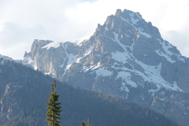
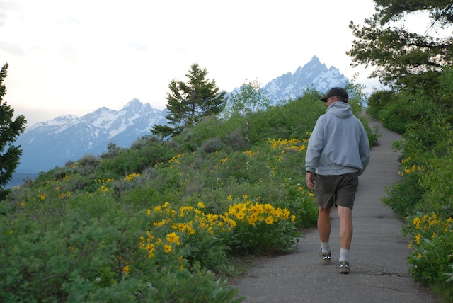
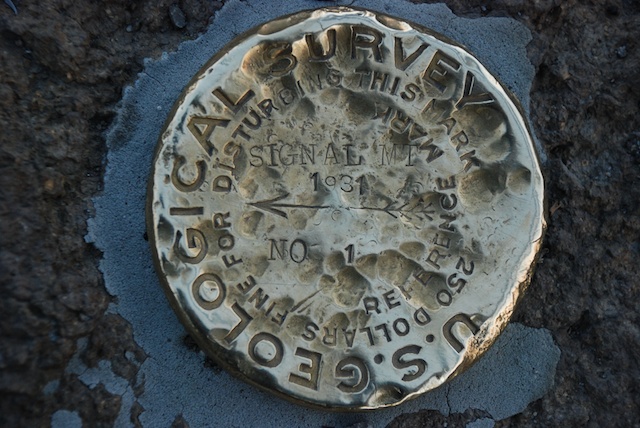
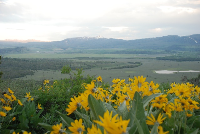 Late evening view from Signal Mountain.


 This is the view from the top of Inferno Cone. The Visitor's Center is just right of center. Notice the plume of smoke on the horizon at the left. That continued to grow and drift across the whole landscape through the afternoon.


 At dusk we found an almost empty campground along the Snake River. After a meal of beans and popcorn we went to bed. No moths. No wind. Perfect.