Road Trip to Texas - The End
/In the last post we had come home to California about sunset, but we were still a long way from home.
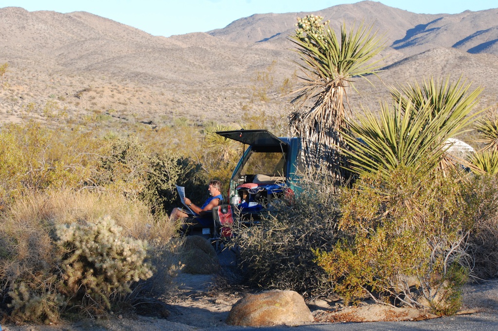
We had decided to camp at Joshua Tree National Park, but arrived there after dark. Mid-week, mid-July. No problem finding a camping site. I woke up before sunrise and walked in the desert to get some photos. I didn't have much luck with great sunrise photos but the good thing about sunrise (besides that another great day is starting) is that the light is great for other photos.
Have you ever seen so many spines?
 We had slept in the truck so it didn't take long to break camp. We had entered the park from the south and planned to drive through to the northern exit.We stopped at the Cholla Cactus Garden, a nature trail constructed through the cholla with warnings to not touch...for your own safety!
I was not tempted to touch. This "jumping cholla" is known for it's tendency to attach to a passerby without much provocation.
This is what the park is known for--the Joshua tree which is not really a tree, but a species of yucca that can grow to 40 feet tall. The park protects 794,000 acres of Mojave and Colorado Desert.
We drove to Keys View. At 5185 feet, its not the highest place in the park but I think it's the highest spot you can drive too. You can see the Coachella Valley to the southwest and Mount San Jacinto and Palm Springs to the north (just out of this photo)
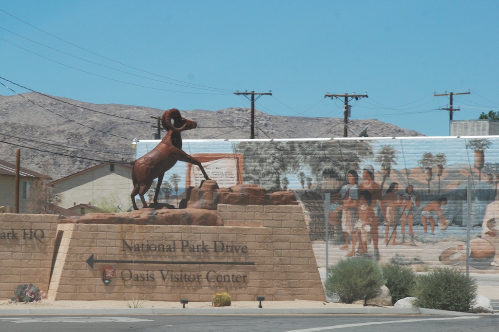
Joshua Tree Park has plenty more to come back to, especially if we could take a vacation in the spring. Can you imagine what it would be like for early settlers? There were miners, homesteaders, and ranchers who tried to make a go of it here and there are remnants of those homesteads and mines. We stopped at the visitor center on the way out and saw this statue and mural when driving away. After seeing the interesting public art in southern New Mexico and Arizona I wish that I had been on the lookout for it in the earlier part of our trip. Leaving Joshua Tree NP and driving through the town of Twentynine Palms, now the plan was to just head home. California is a big place. The iPhone map showed almost 8 1/2 hours to go.
More public art...or is this private art...or art at all? Amusement.
 More amusement. This is the only souvenir I bought for myself (other than the National Park patches, which someday may be sewn to something but for now are on my bulletin board with others). This bighorn sheep now is on my big loom with a collection of other sheep.
 California oak woodland. Many hours still to go.
Looking west from near Rio Vista. We live on the western side of the Central Valley and those are "our" mountains in the distance.
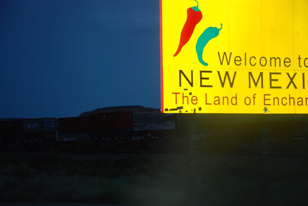
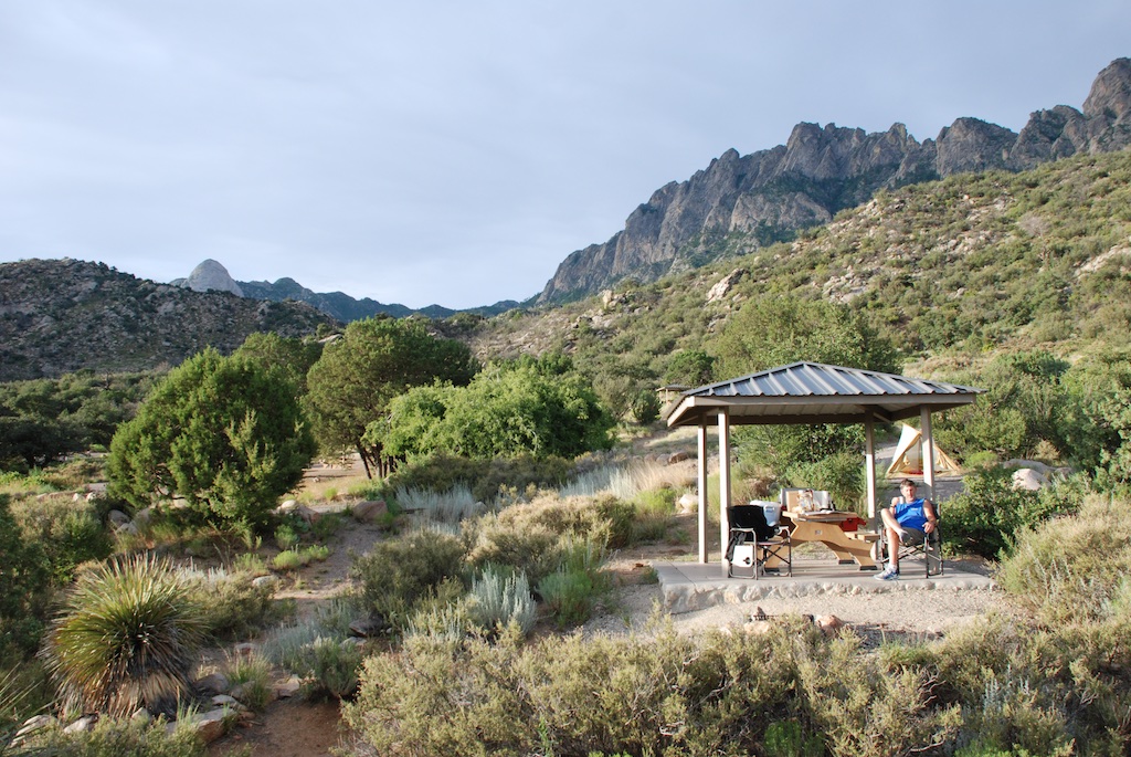 We camped at Organ Mountains National Recreation Area in New Mexico.
 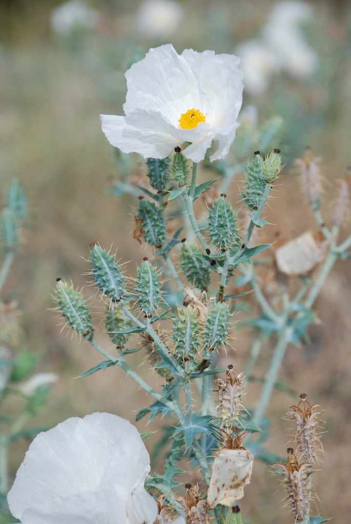 Leaving the campground we stopped for a couple of photos. This is prickly poppy...
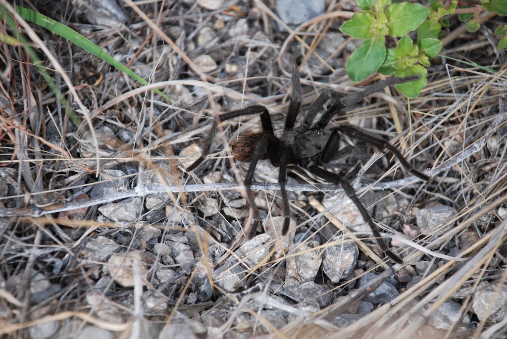 ...and here is my first tarantula seen "in the wild". It was actually on the road and Dan pulled over to point it out.
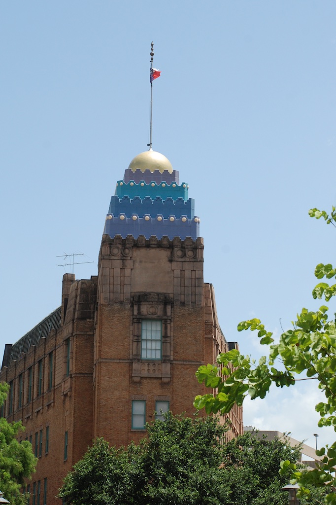
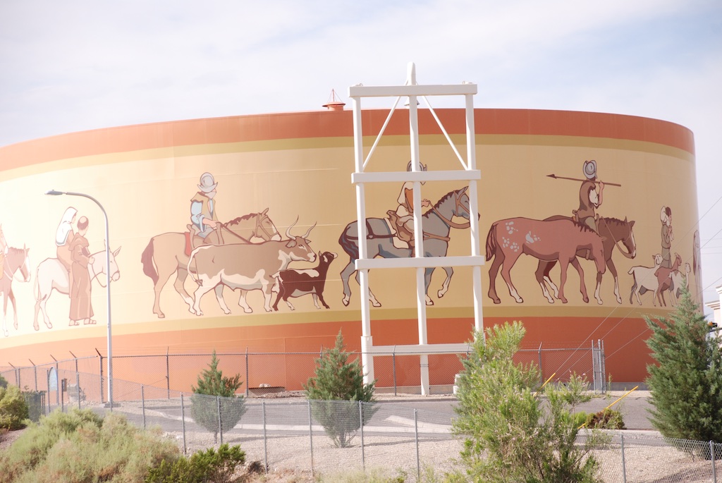 There was the water tank with a mural commemorating the space industry the
 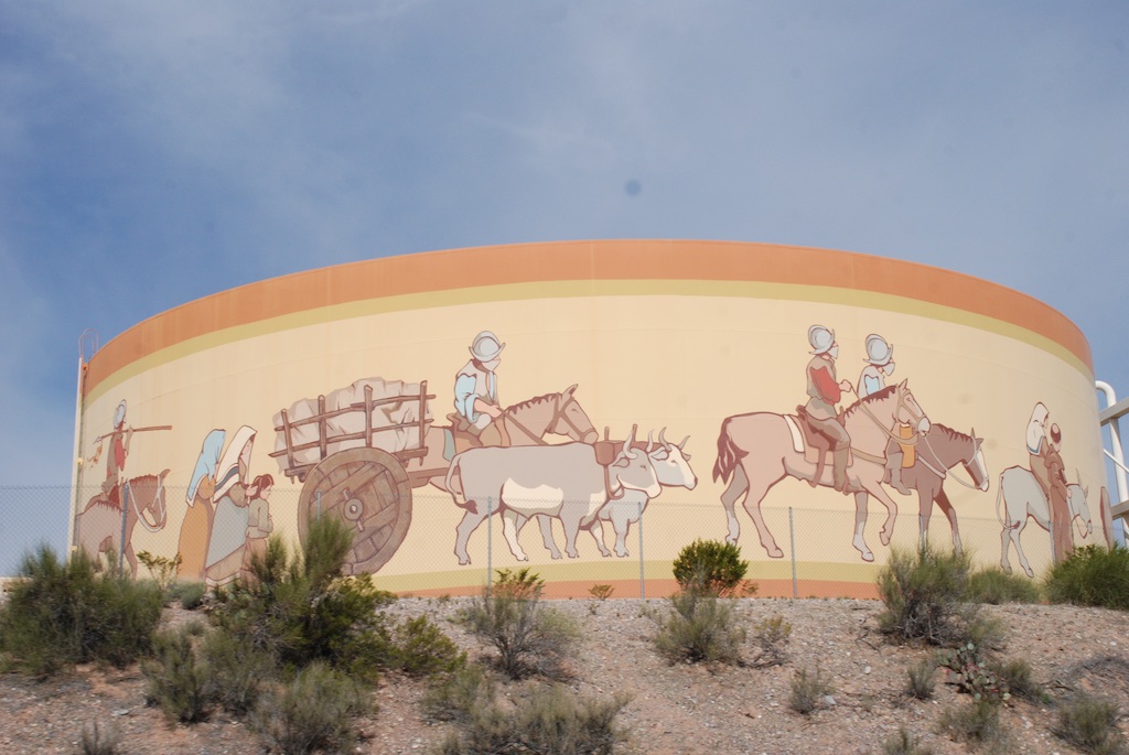 I googled and found that there is a
 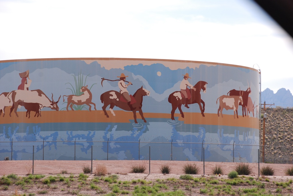 Back on Interstate 10 heading to Arizona.
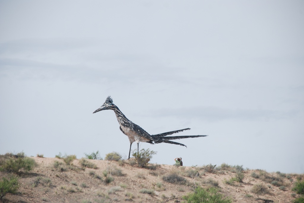 I love this giant roadrunner. I looked this up also. It's 20 feet tall and 40 feet long and after it was constructed in 1993 "it was stationed at what was then the Las Cruces Foothills Landfill, as a kind of encouragement to creative recycling projects". Now it is along the freeway for travelers to see.

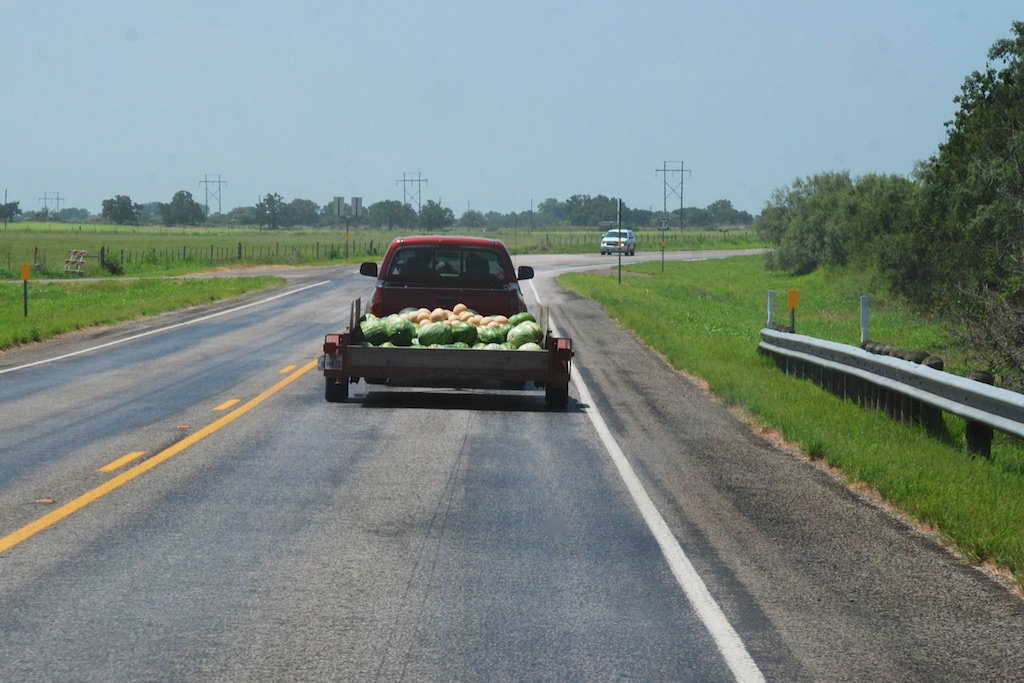
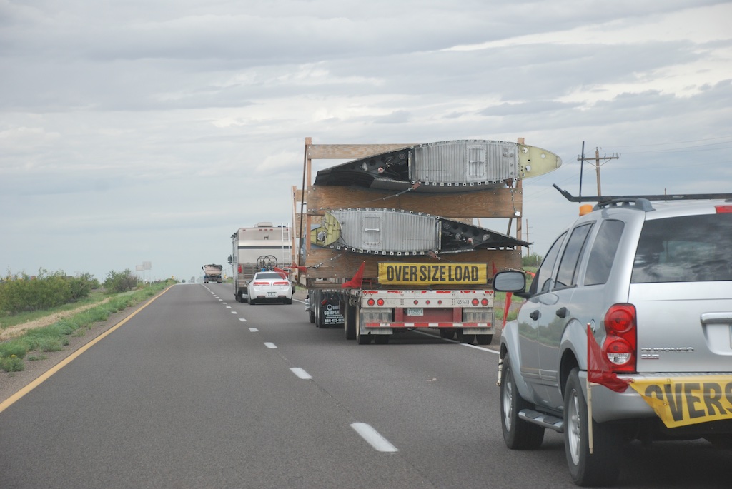 You never know what you'll see on the interstate. This truck was carrying a dismantled airplane.
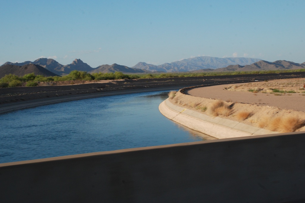
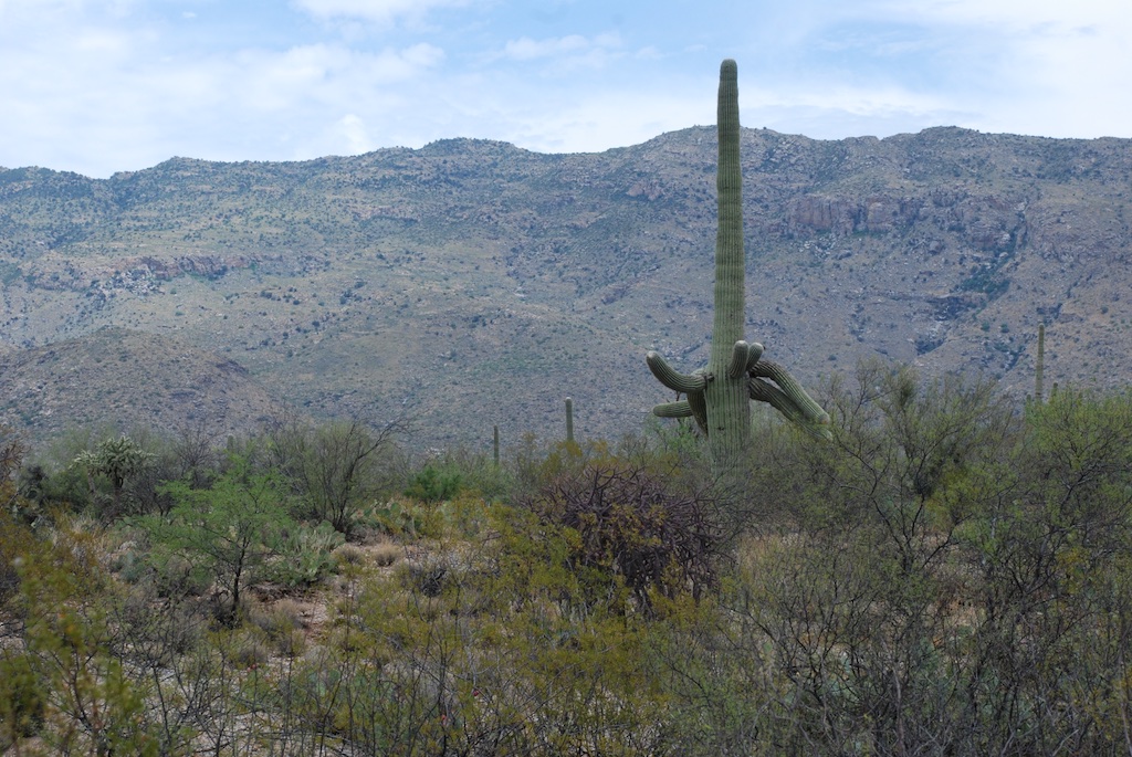
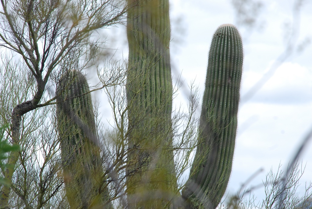 I didn't take many photos of saguaro because I couldn't do them justice...
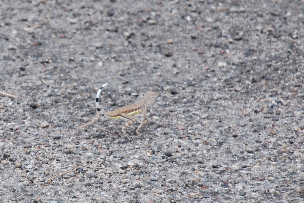 I caught a glimpse (and a photo) of this zebra-tailed lizard running away just as we got out of the truck to walk on one of the trails.
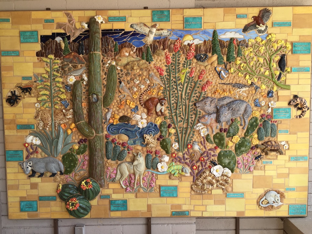


 This is a photo of the east side of the Organ Mountains, taken as we drove past the entry sign. That is because I was actually looking for something a little different. I don't remember what I googled but what I found on the iPhone was Organ Pipe National Monument which, yes, does have camping, and where we figured there would still be space on a weekday night in the middle of the summer. We had to drive a few miles down the road before we could turn back to the road to the campgrounds.
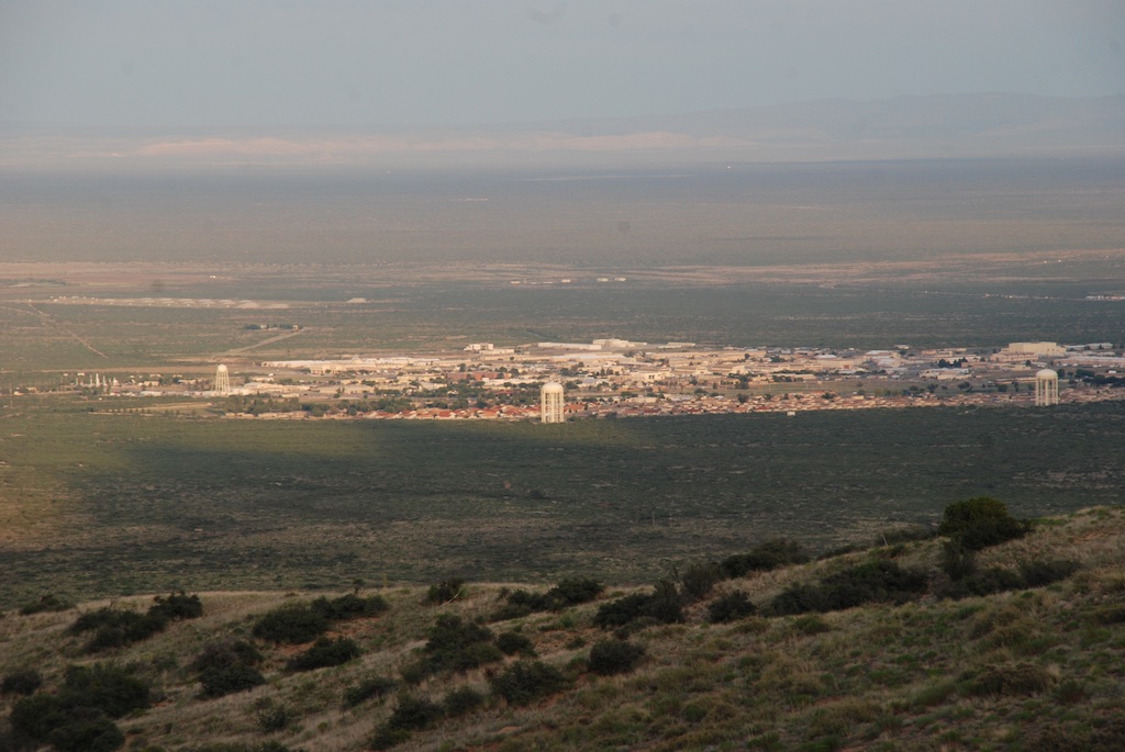
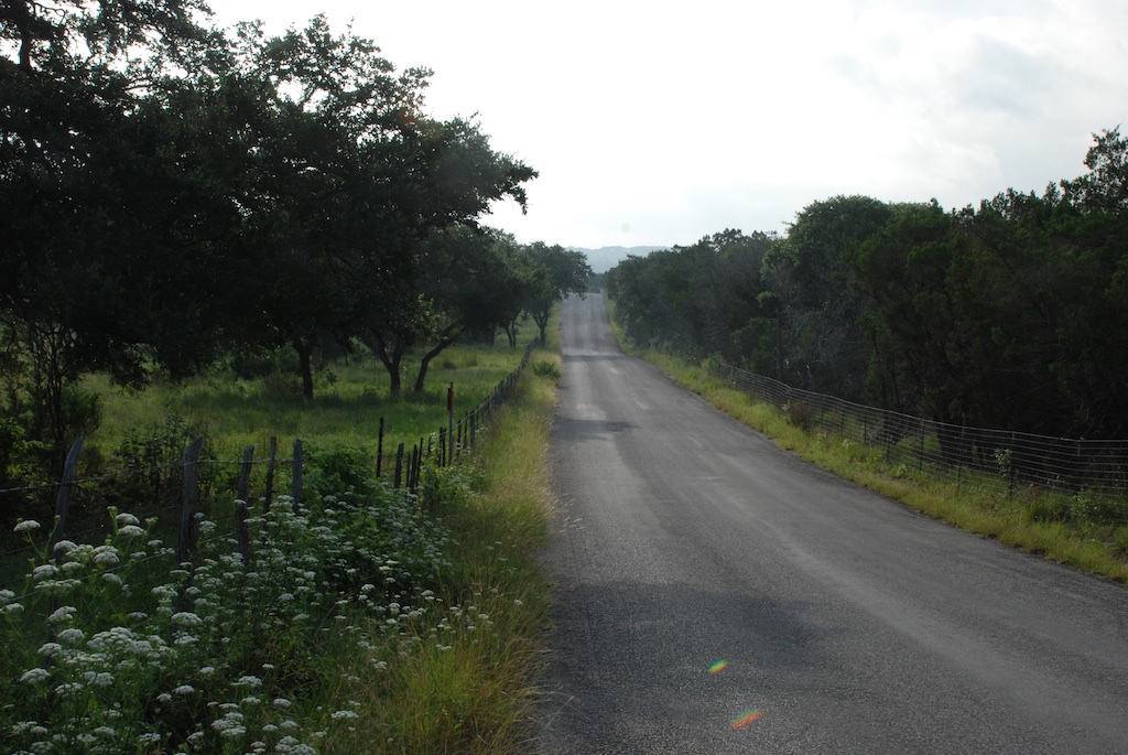 Just as we had seen in northern Arizona and New Mexico everything was green. Summer monsoons are the norm, but there have been several dry years so this particularly wet year is a welcome change. However there can be too much of a good thing. We saw the signs on the Blanco River of the recent high water and were amazed at just how high it was.
 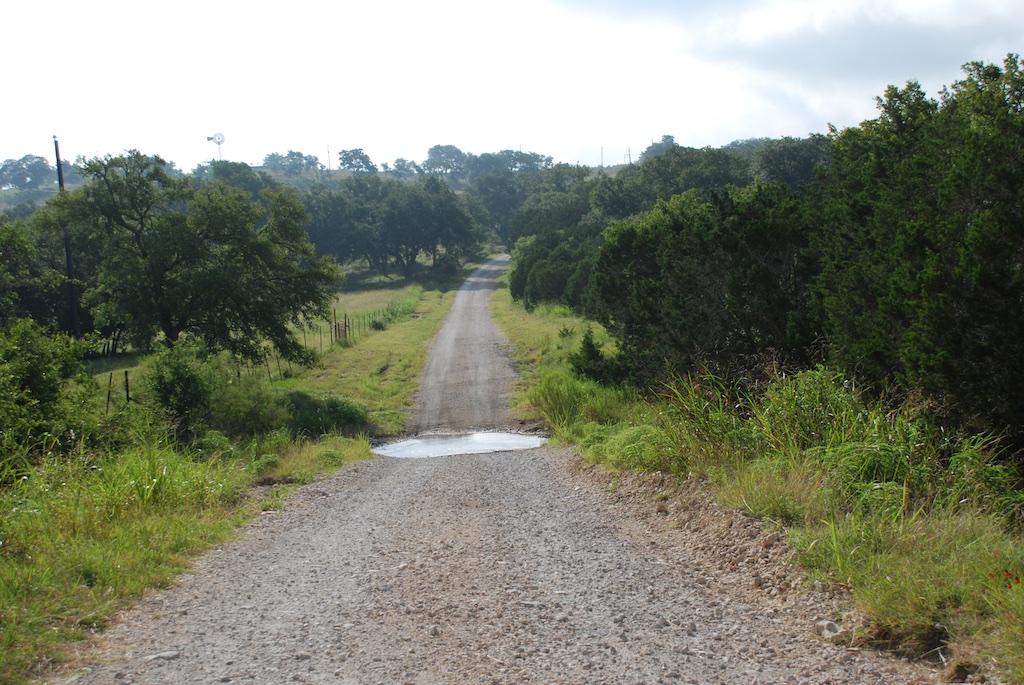 Katie and Kurtis live on high ground between Blanco and Wimberly (where the horrific May flooding swept houses and people away) so they were in no danger. This wash just down from their driveway has running water now but during the flooding was many feet higher and impassable. Hard to imagine.
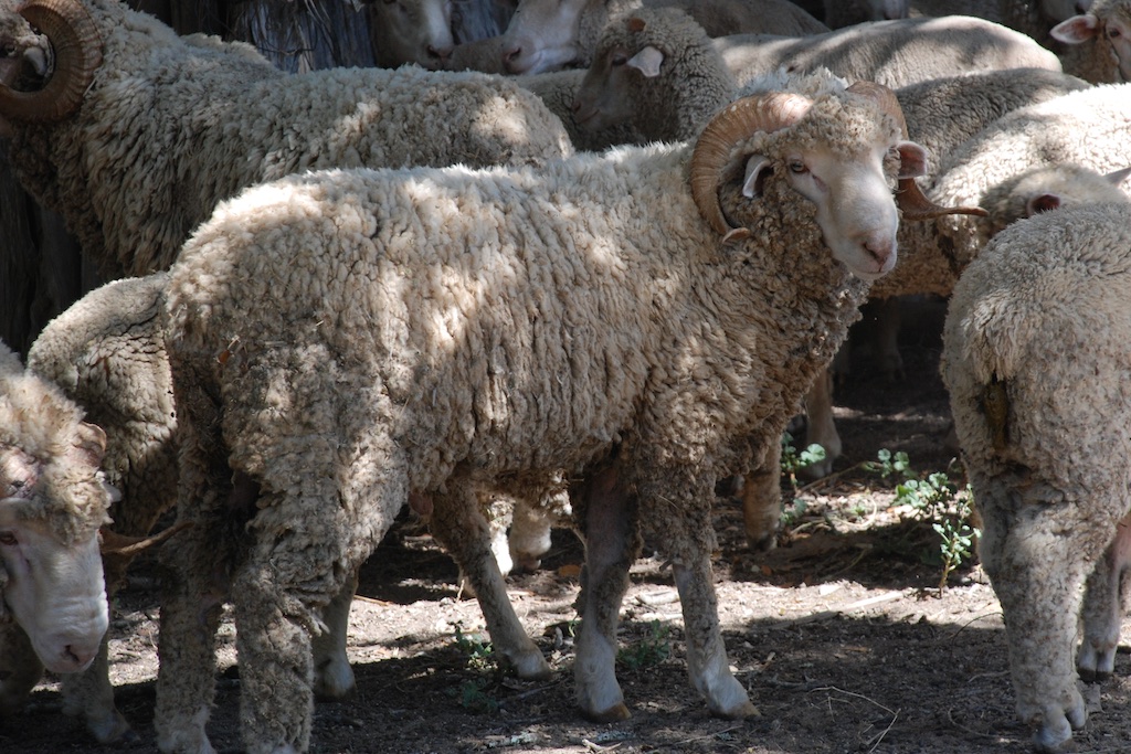 ...the rams...


 First we stopped at Katie's office and went to lunch with her co-workers. Then we drove to San Antonio.
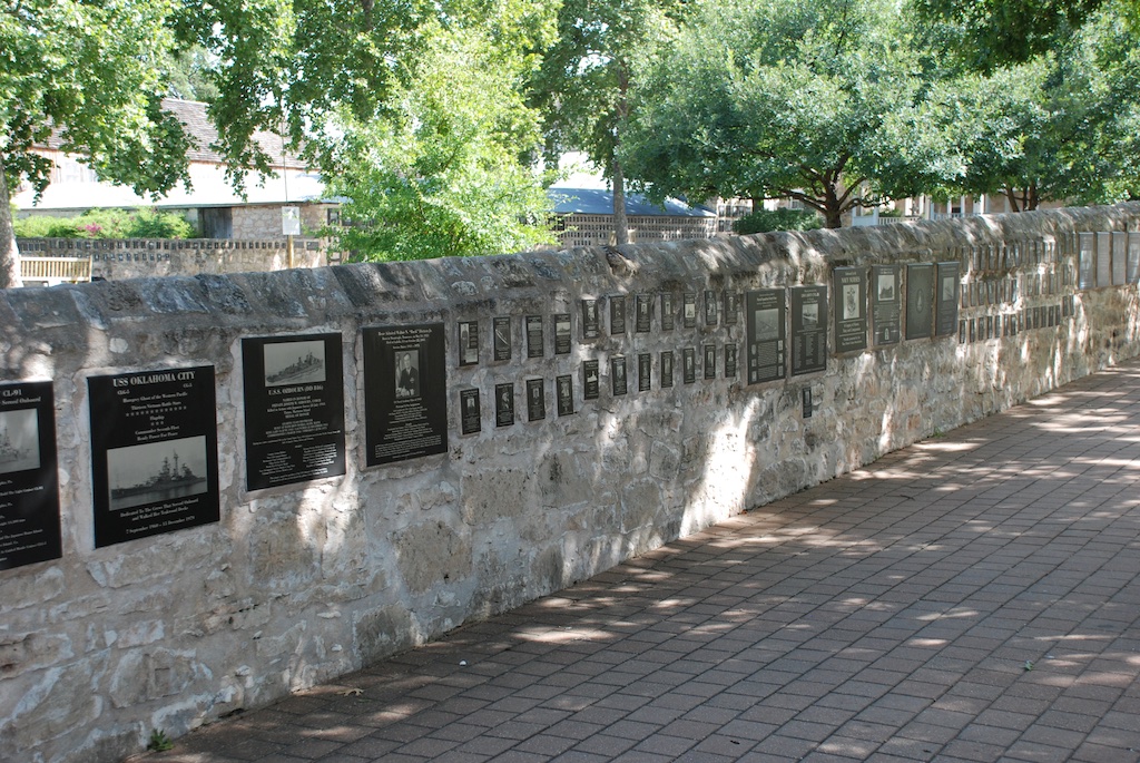
 The Alamo site is an interesting juxtaposition of the old and the new. The lower stone wall surrounds the Mission grounds.
 The Alamo site encompasses a block in downtown San Antonio with newer buildings rising around it.


 After a long drive and a lot of walking around in the heat what better way to end the day?
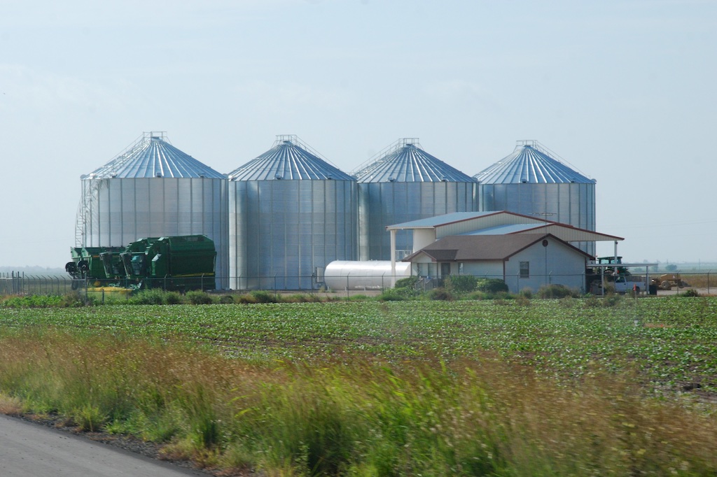
 I don't have many photos. I snapped several from the moving truck, but although some of the scenery ones are passable, it was hard to get much in town when driving through.
 I must say that the iPhone has given me a new way to travel. We like our big map books with one book for each state. I kept that open on my lap but I continued to look up towns we passed or things listed on the map that weren't there anymore. We garnered a lot of history that way.
 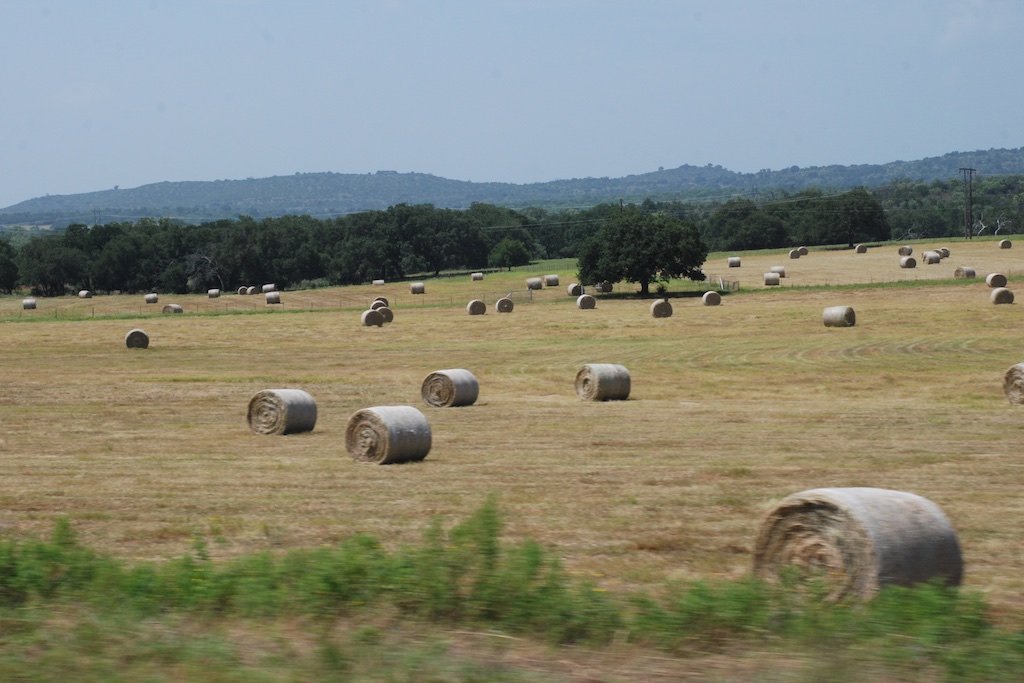 This photo doesn't look especially green because the field has just been baled but there is a bumper crop of hay.


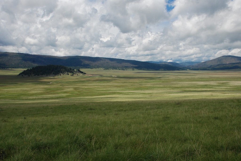
 According to the sign we were standing on the rim of a collapsed super-volcano, 12 miles in diameter and magma is only 5 miles beneath.
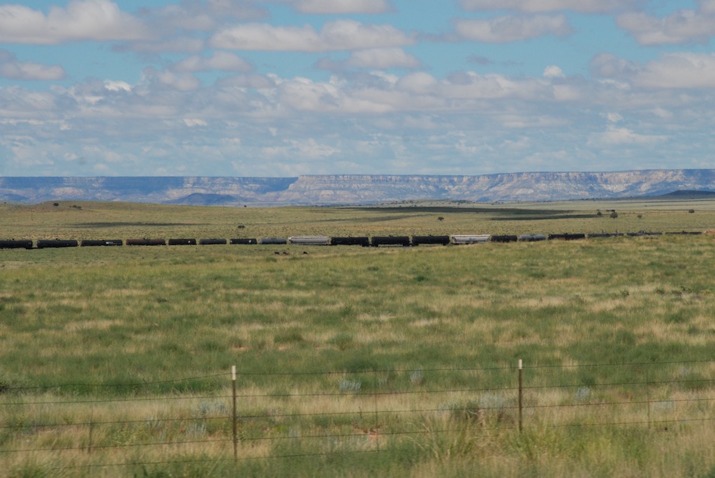
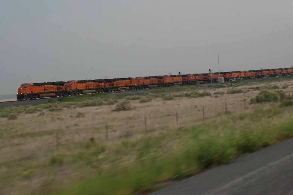 Another train view but this is a train made up of a dozen engines. We saw this the previous day also. Mulitple engines are used to pull (and push?) trains up the long grades and I guess they send those engines back to be ready for the next train. Many hours of driving later and about dusk we got to Roswell,


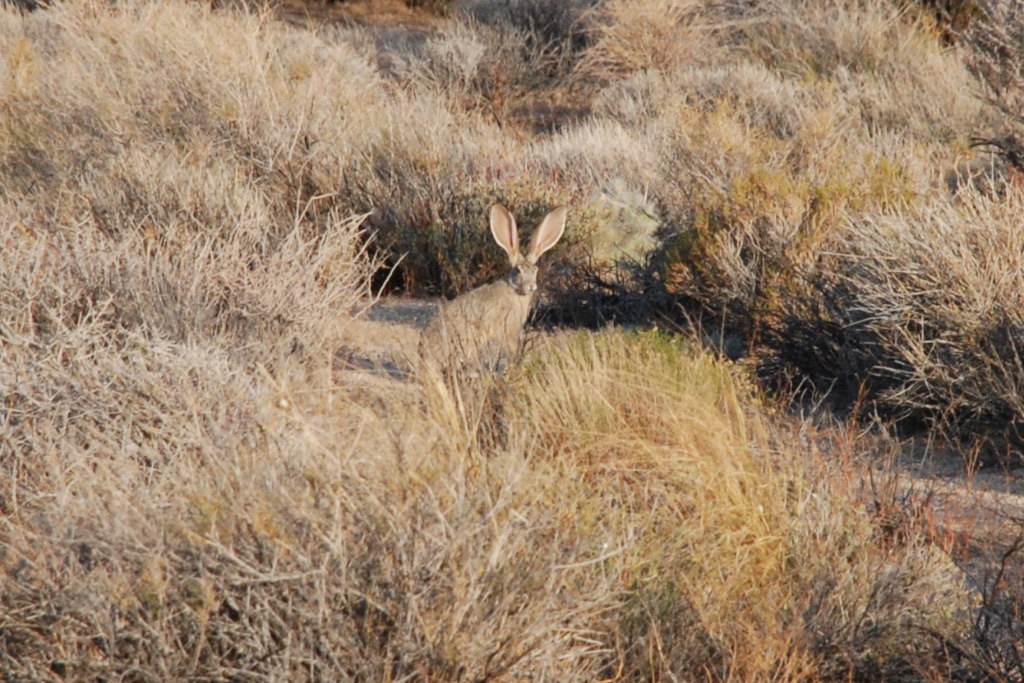 After stowing our gear we set off north to see what the town of Kelso looked like. Have you ever seen a sign with a flashing light that cautions you to watch for tortoises? I never had and I wish I had stopped for a photo. It was one of those things that I thought I'd do on the way back but we ended up making a loop through the preserve.