Road Trip to Texas - Day 4
/We woke up in Roswell and left town fairly early so that we would have plenty time to explore Carlsbad Caverns National Park.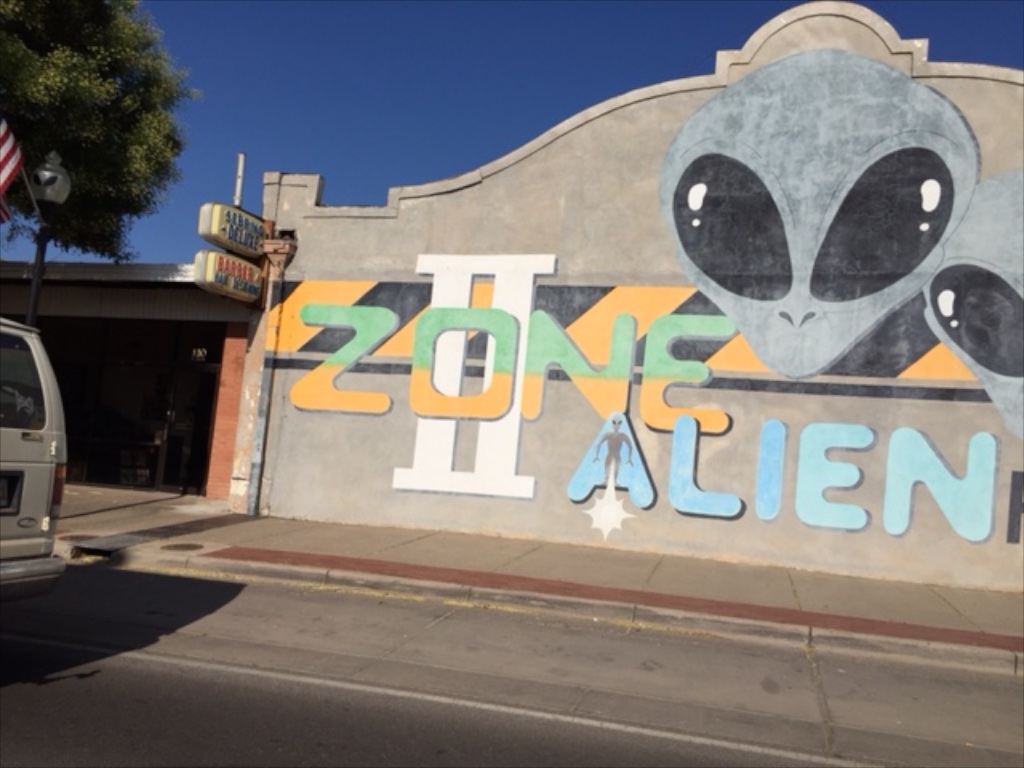 You can't miss the main attraction as you drive through town. Winslow has The Corner. Roswell has Aliens.
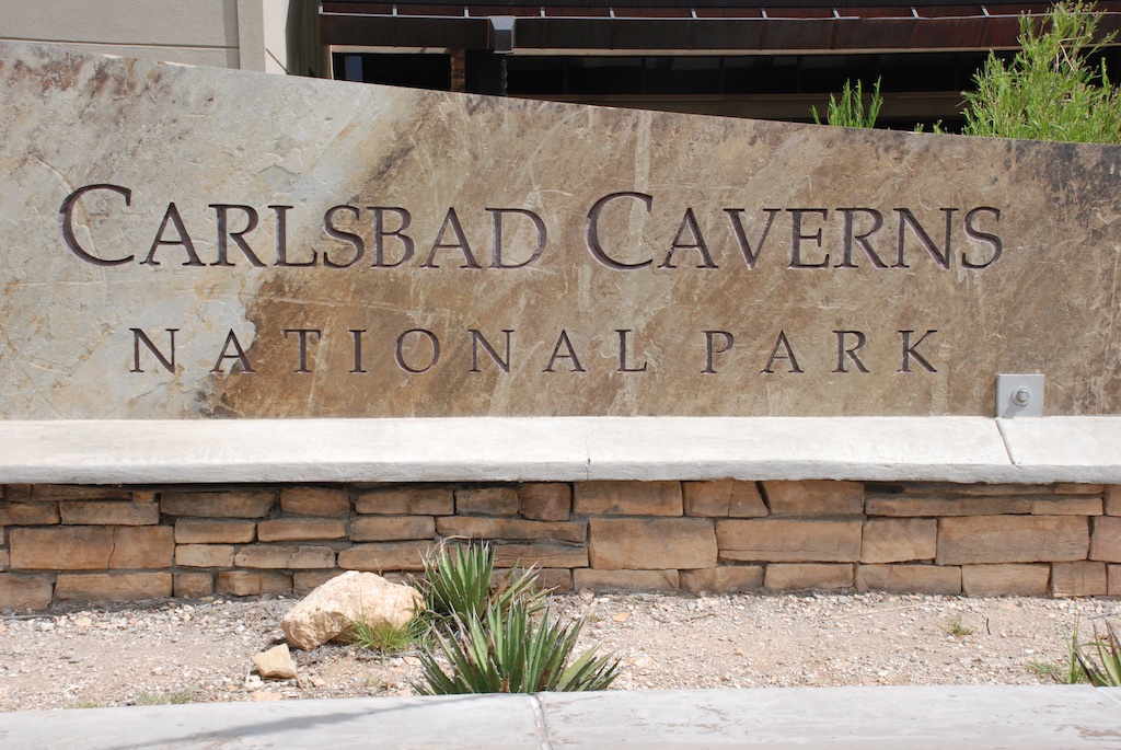 We made it to the park by mid-morning.
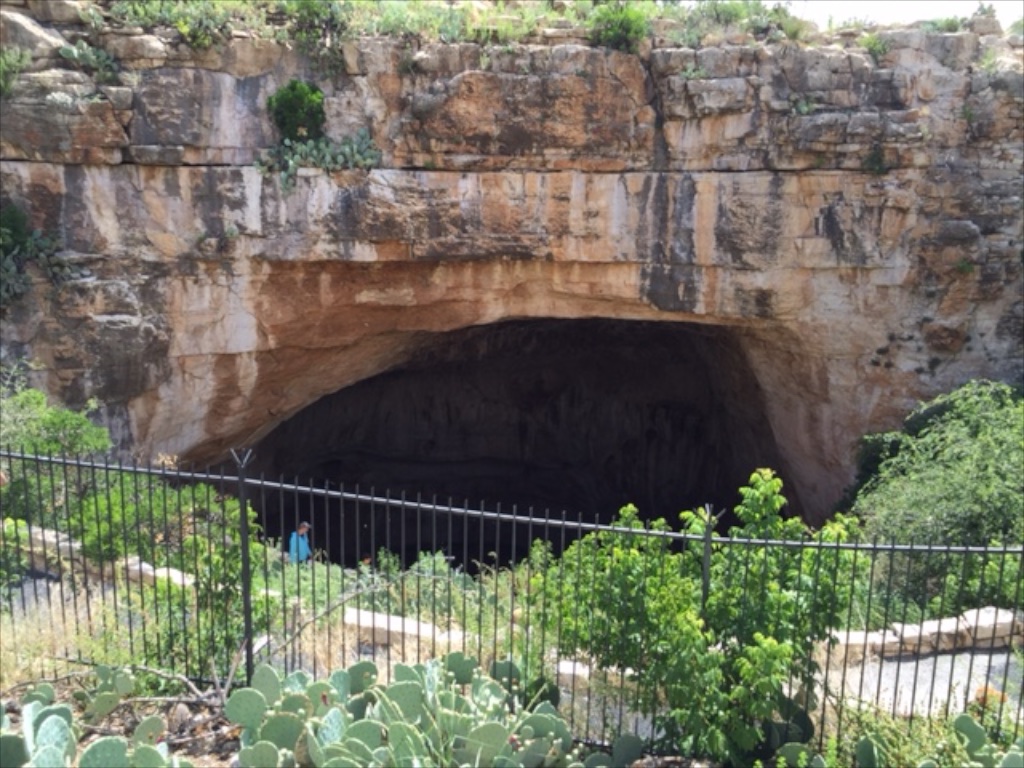 Most people enter the cave at this entrance where you can also watch the flight of 400,000 Mexican bats leaving each evening. (Fact: A bat eats half it's body weight of insects every night.)
These photos don't begin to show the enormity or the depth of this cave. The main room and caverns are over 750 feet (75 stories) below the surface.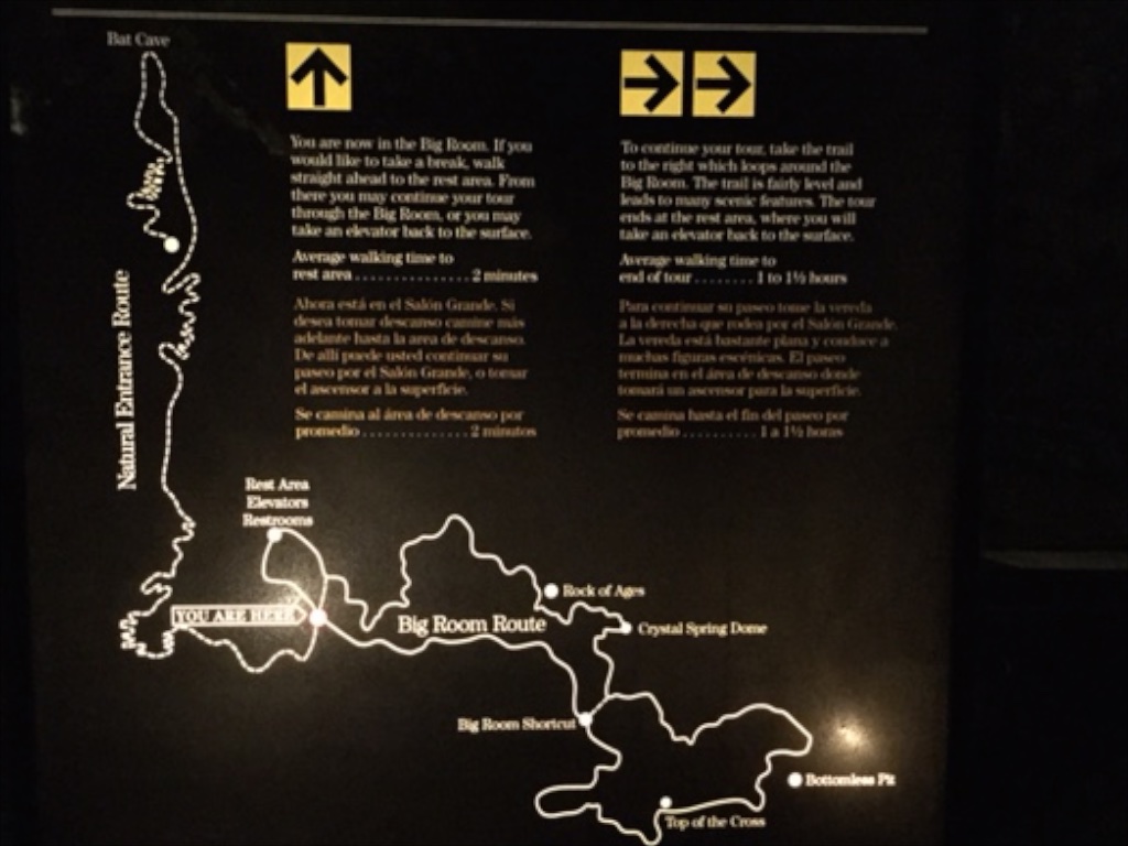 The main entrance is a series of switchbacks--those squiggles on the far left of this diagram.
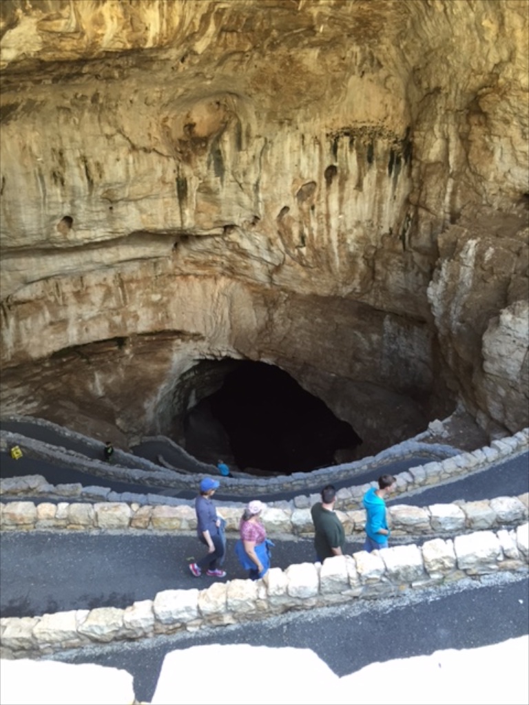 The bats roost inside the cave in an area closed to the public. Cave swallows roost in the entrance.
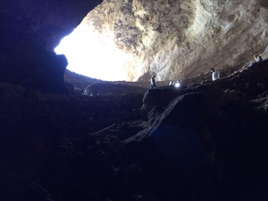
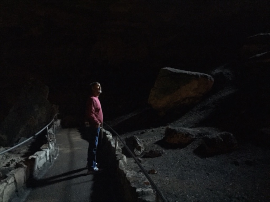 This is still on the descent where there is just barely enough natural light for a photo. The rest of the cave is illuminated enough so that flashlights aren't necessary but I had the thought that it is good that the trail is asphalt and well maintained because you really can't see where your feet are stepping. (It is also necessary because of the number of visitors to the cave. There were one million by 1937.)
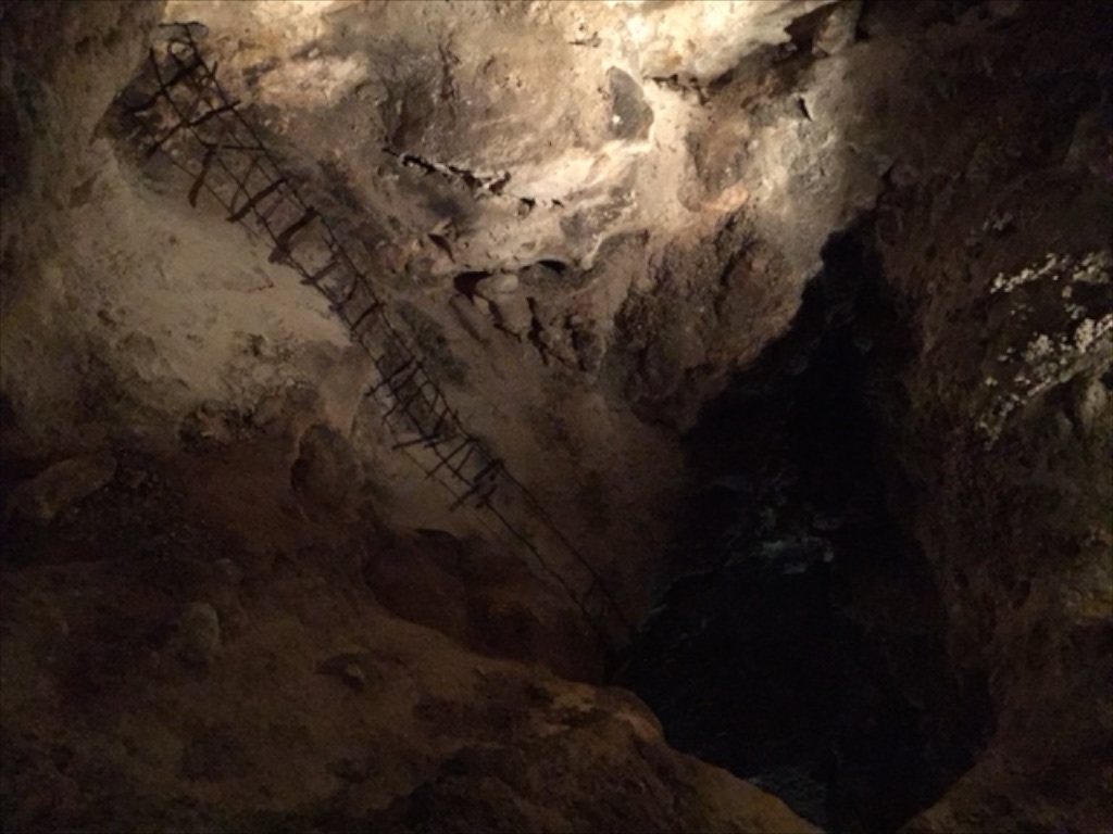 This is how people explored in the early days. Yikes! I think the sign said that this ladder drops down 90 feet.
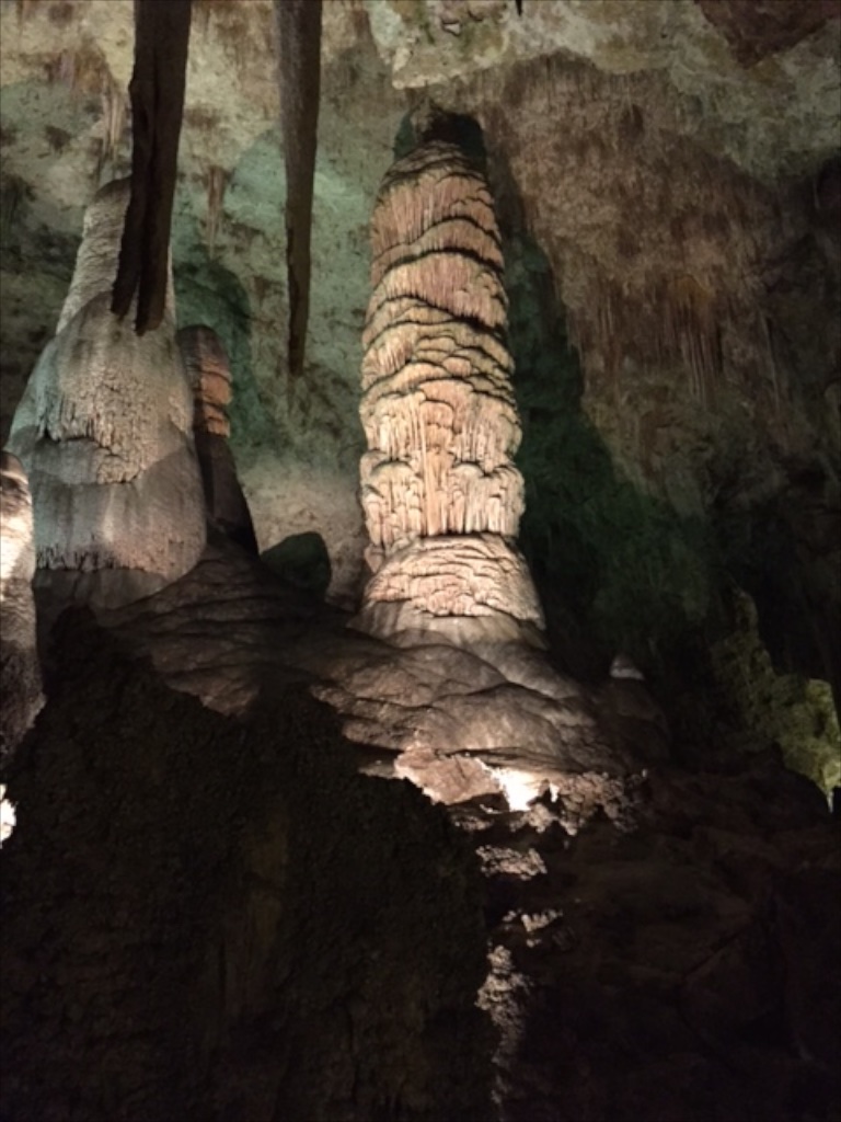 I have very few photos from inside because you just can't do it justice without a tripod. We walked both main loops of the trail which covers about two miles. The Big Room is the largest known natural limestone chamber in the Western Hemisphere and floor space is estimated at more than 600,000 square feet. There are other portions to explore if you go on a guided tour and there is another level that extends for a mile 90 feet below where we were. In addition they said there are over 100 miles of passages beyond.
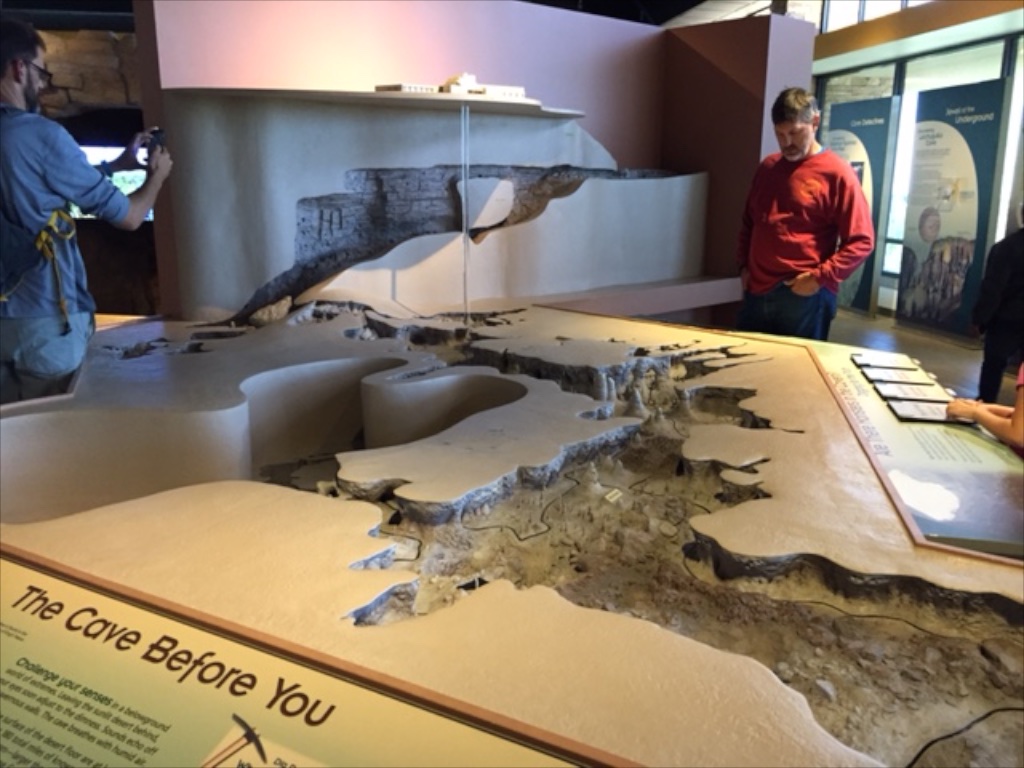 This model in the visitor center shows the visitor center at the top and the extent of the cave that is open to visitors below. The entrance is that upper portion at the back of the photo and the trail descends the switchbacks along the wall. When you finish walking the trail you return to the visitor center via an elevator (the tube in the photo) that takes you the 75 stories up.
Not only is the cave impressive, but it is amazing to think of the first explorers and later the engineering and construction feat to develop the cave for visitor access. The first elevators were constructed in the early 1930's.
After touring the cave and the visitor center we drove the 9-mile Walnut Canyon loop which gives a look at a bit of the above-ground part of the park.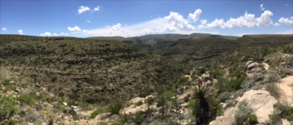 As during the first part of our trip the desert was green from the recent rains. This is the Chihuahuan desert, the last of the four desert landscapes (Mojave, Sonoran, and high desert) we drove through on this trip.
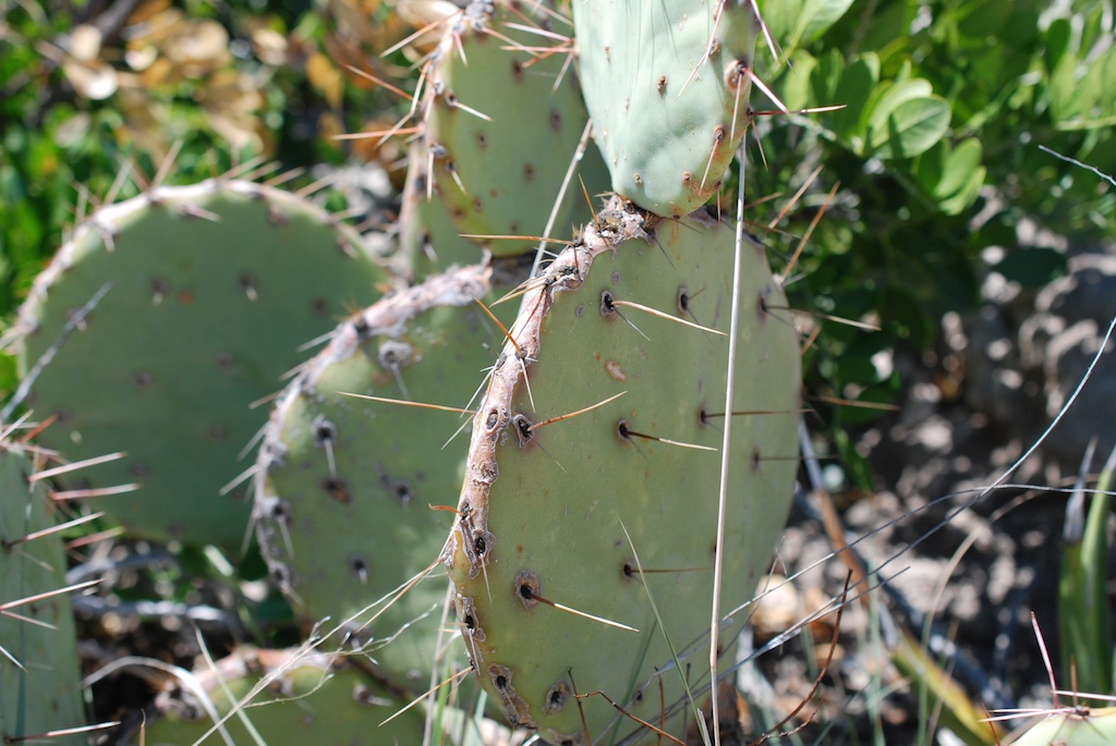
We left the National Park in mid-afternoon and headed tor Texas.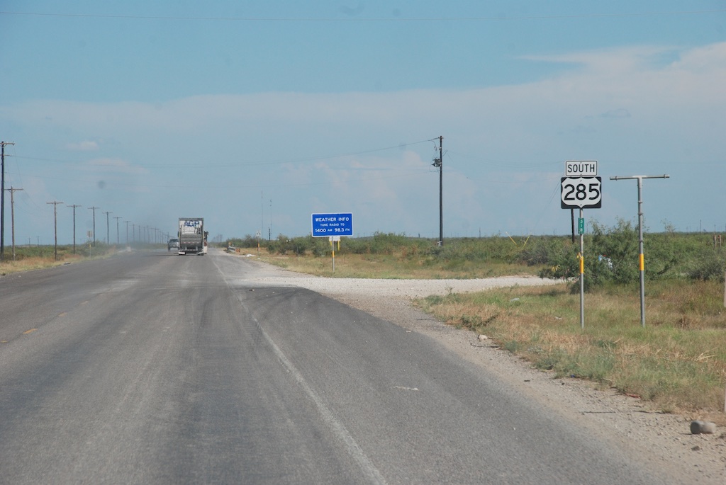 I was all ready with my camera for the Welcome to Texas sign but there was none on the road we were on, however the landscape changed.
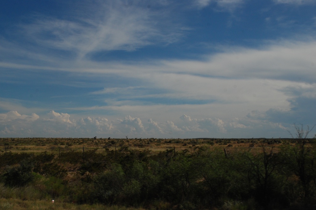
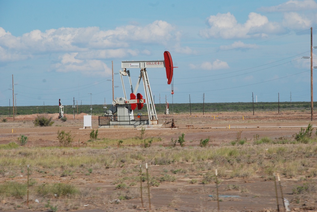 West Texas is known for it's oil fields...
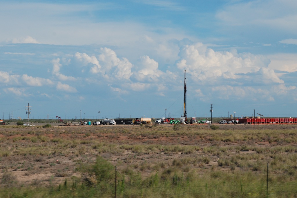 ...and that was the predominant feature over most of the landscape. I passed the time looking up towns and features on the iPhone. That gave insight to the history and settlement of the area.
We drove as far as San Angelo where we spent the night.



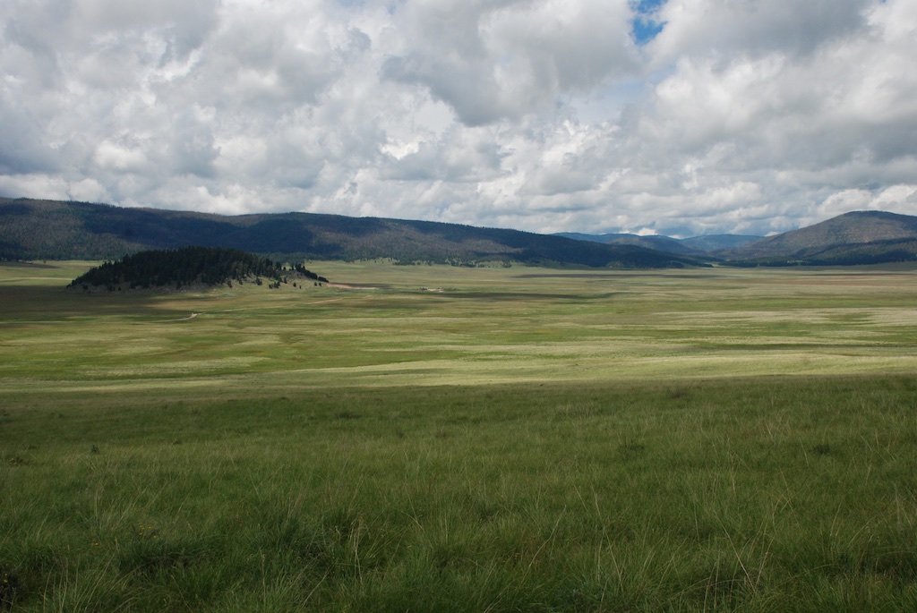
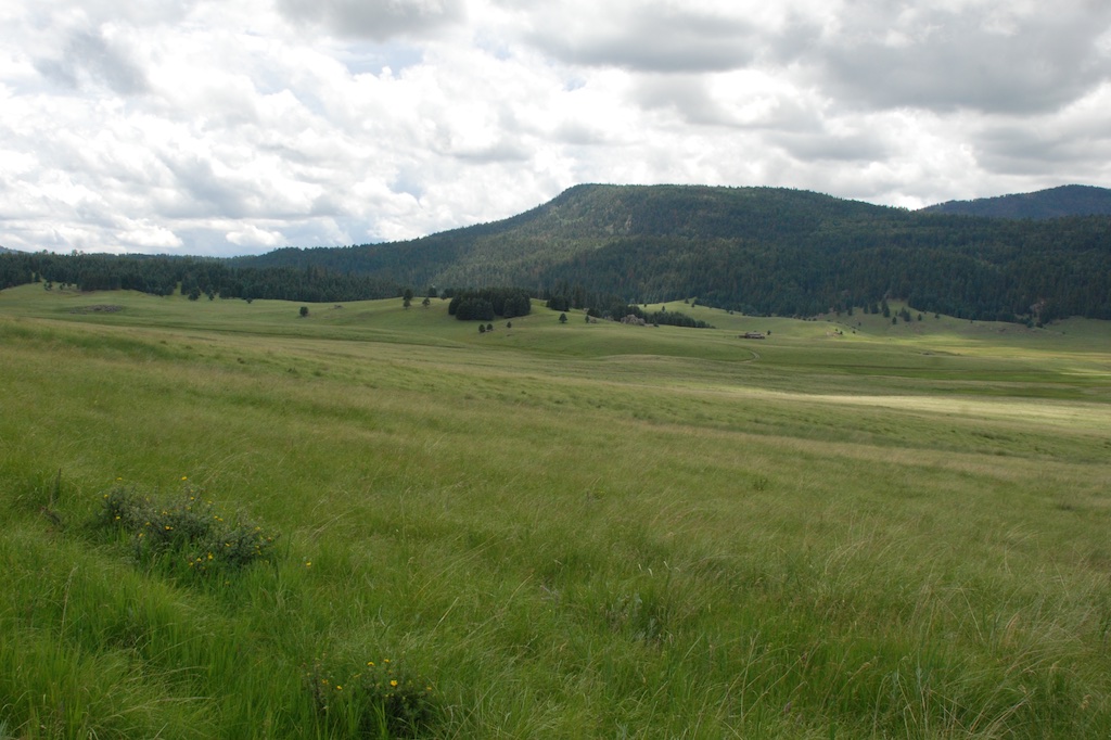 According to the sign we were standing on the rim of a collapsed super-volcano, 12 miles in diameter and magma is only 5 miles beneath.
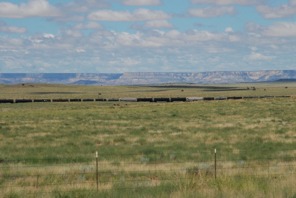
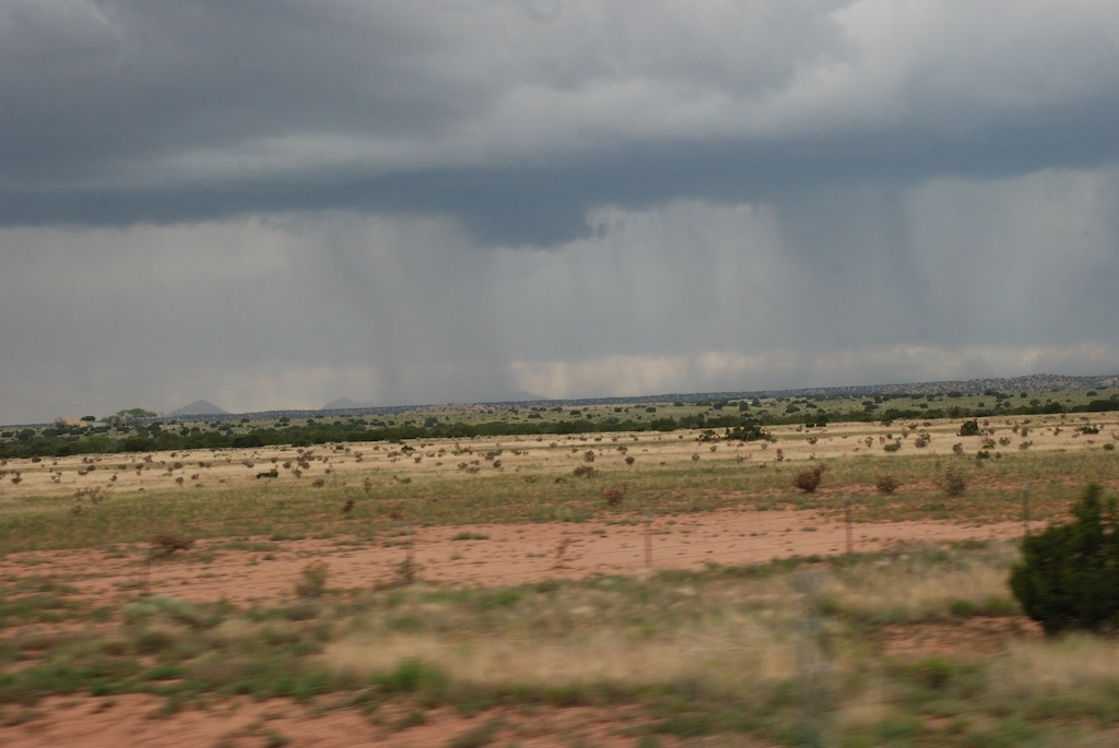 We had been lucky with the weather the whole day. Other than the previous night we hadn't been rained on. But we could watch the weather while we were driving. There is lots of flat landscape on the drive through central New Mexico, but I am just glad to see that there is so much unpopulated land in our fabulous country. The tune "wide open spaces" continued to run through my head (as did "standing on the corner..." from yesterday).
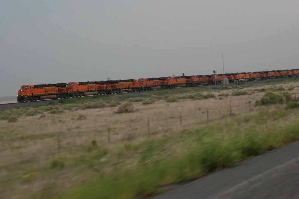 Another train view but this is a train made up of a dozen engines. We saw this the previous day also. Mulitple engines are used to pull (and push?) trains up the long grades and I guess they send those engines back to be ready for the next train. Many hours of driving later and about dusk we got to Roswell,
