Road Trip to SD - Day 7 - Golden Spike & Rockets
/My Road Trip blog posts keep getting longer and longer. I can't decide which photos to leave out (and believe me, I've left out plenty) so I think each post has had more photos than the last. I know from feedback that at least some of you like the Road Trip posts so maybe you won't give up on this one. This trip has got to end some time because I have lots more blog posts in my head (and my camera) from stuff around here. So rather than break this one into two posts it will just keep on going until it's done. We left off with Day 6 at dark trying to figure out where to stay. We had the map book spread out in the Subway where we had sandwiches for dinner. It was too far to any of the national forest land we were seeing north of Salt Lake City and it was dark by this time. That makes it more difficult to find a spot that is not a designated campground. I had seen, while perusing the map, the Golden Spike National Historic Site that we thought we'd check out in the morning but still we needed to sleep somewhere. Dan suggested a place off the frontage road where we'd seen climbers on our trip out.
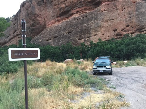
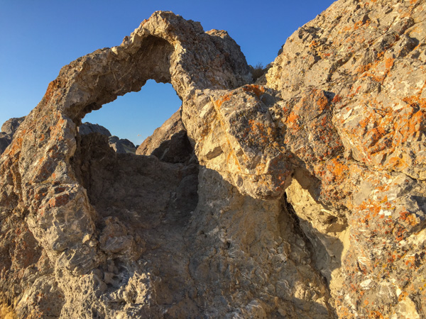
This is what the place looked like in daylight the next morning. Except for the train track next to us and the highway next to that we weren't disturbed. Can you read the sign that I saw the next morning? "Death's Rock."
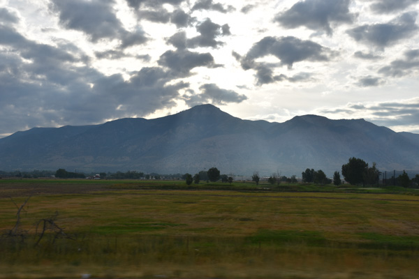
We took Highway 84 to get around Salt Lake City and north of Brigham City turned west to go to the Golden Spike site.
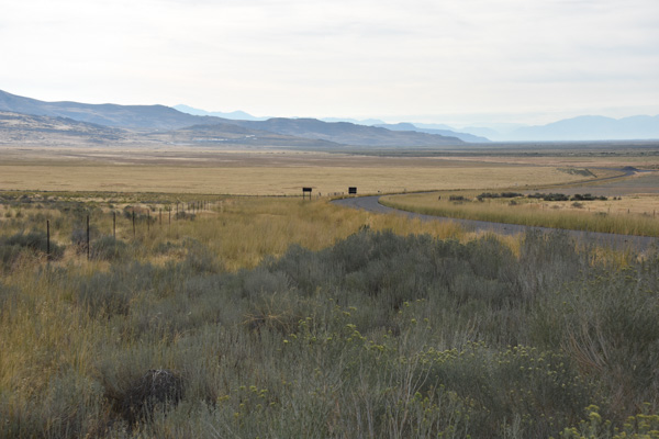
Before you enter the area near the Visitor's Center there are plenty of places to stop and read the interpretive signs. This was at the first site, looking back east.
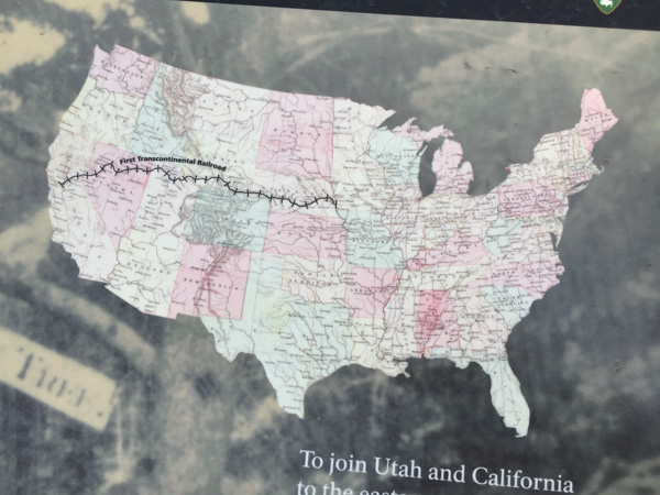
I knew generally about the building of the railroad in the 1800's but I never knew or had forgotten the details. By the time of the Civil War there were railroads linking states in the east. It was in 1862 that Congress authorized the Central Pacific Railroad in the west and the Union Pacific Railroad in the east to construct railroads that would meet somewhere in the middle.
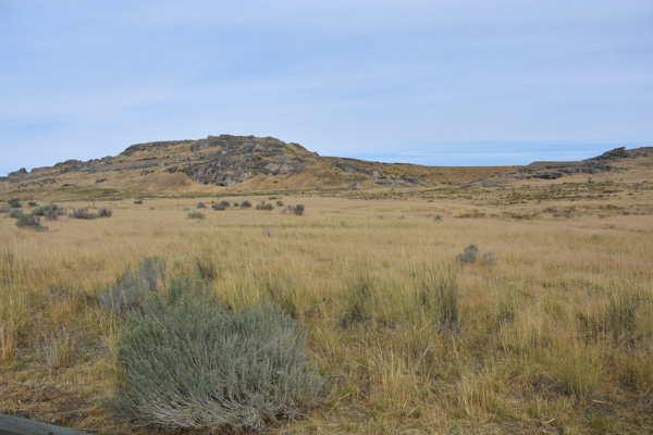
The details make a fascinating story, and if you're driving through Utah, this site is definitely worth your time. Before the meeting place of the railroads was finally chosen both companies continued to build grade ahead of where the track was laid. (The graders worked 5 to 20 miles ahead of the tracklaying gang.) The railroad companies were paid per mile depending on the difficulty of the terrain and they were given sections of land. So there was incentive to keep on going. The railroad grades overlapped by 250 miles before Promontory Summit was chosen as the meeting place. This photo shows the site of what is known as the Big Fill.
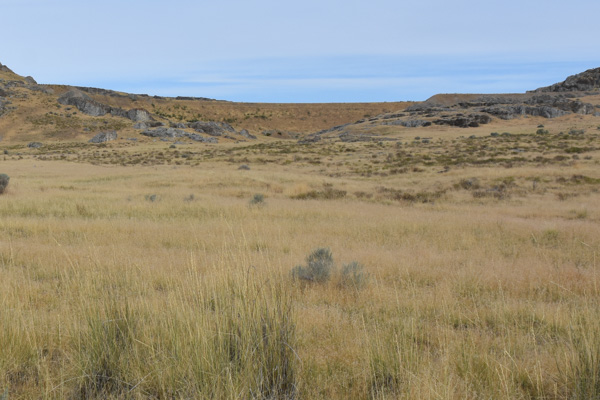
Here is an enlargement of part of that. This was a ravine to be crossed and the grade could be no steeper than 116 feet per mile. Let your eye follow the slope of the rocks--that marks the ravine. The line of dirt above that is the Big Fill. The Central Pacific built that grade by blasting rock and building up that area. The Union Pacific's solution was to build a trestle and you can see what's left of the rocky abutment on the left and just below the Fill. There are photos of the huge trestle that was built to span the ravine (but used only four times because it wasn't secure enough).
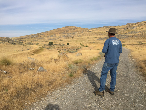
Here Dan is walking on the Central Pacific Grade and you can see the Union Pacific Grade to the left. When you walk on this trail you can use your cell phone at marked stations and hear the information about the points of interest along the way. I find it fascinating that these two crews would have been working this close to each other. And it is so hard to fathom the work involved. Shovels and picks, mule-drawn wagons. Other than using some dynamite, everything else was done by hand. I read that in the Sierra's sometimes they only progressed 8" in a day. 
We got to the headquarters just after it opened and went to the Visitor's Center.
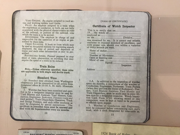
There was a display with watches. This is an example of one of those things that never would have occurred to me to wonder about. When did we start worrying about Time? This is from a sign in one of the displays: "With the completion of the transcontinental railway, marking and maintaining precision time became more important than ever before. Prior to standard railway time, each city and town had it's own time, often connected to "sun time" which was based on the sun's movement across the sky. As rail lines crossed various local standard times, scheduling became increasingly complicated. Timetables and timekeepers, therefore, were essential parts of railroad operations."
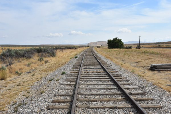
This is a view along the track (a replica now) at Promontory Summit...
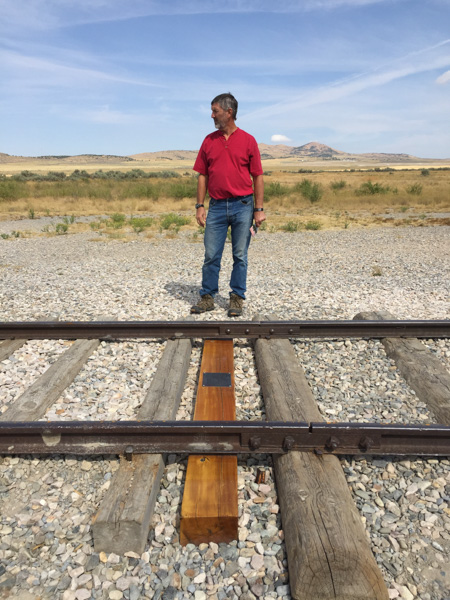
...and here is where the Golden Spike was symbolically tapped and the final iron spike was driven to complete the railroad. There can be many facets to every story and this is no exception. The material at the Visitors Center (as well as all the others that I've visited) speaks to the ramifications of our (humankind in general, and the White Man in the relatively recent history of the U.S.) relentless desire to control and often exploit our surroundings and each other. The achievement of this feat led to the decimation of the bison herds, destruction of the American Indians' way of life, and "progress". The West was opened up.
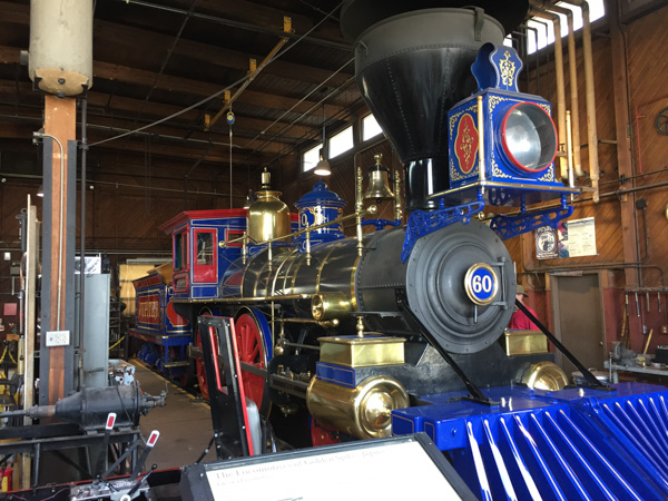
On that final day two locomotives met at Promontory Summit. The wood-powered Jupiter came from the West...
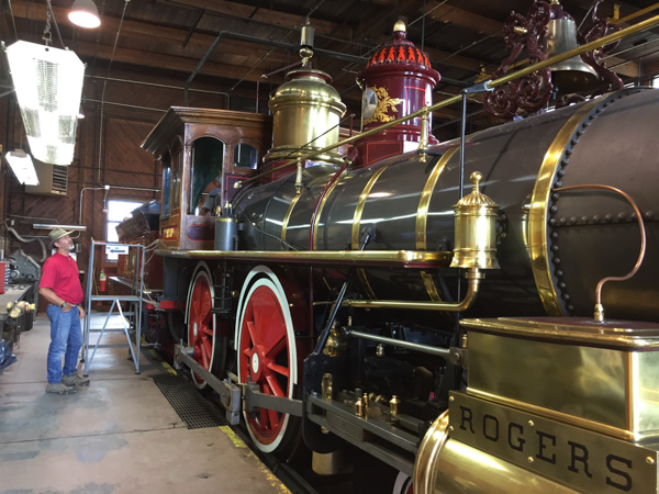
...and the coal-powered No. 119 came from the East.
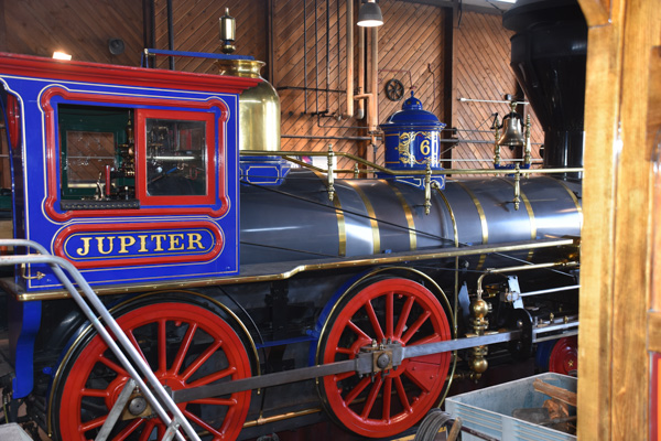
These engines are fully-functional replicas of the originals made in 1979.
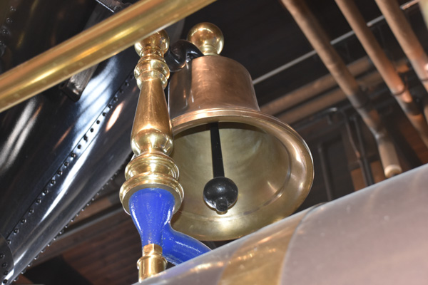
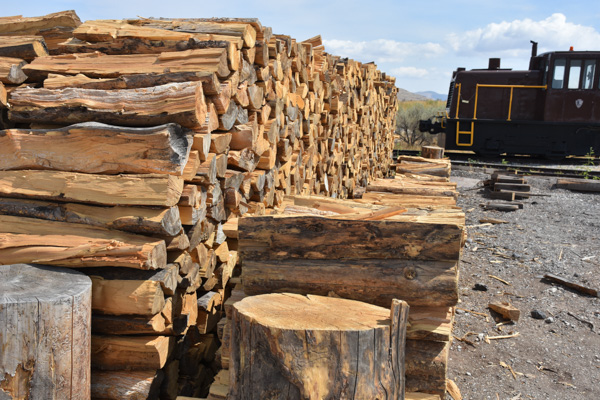
They weren't in operation when we were there because the track was being repaired, but usually they are taken out during the summer...therefore they need wood and coal to operate them.
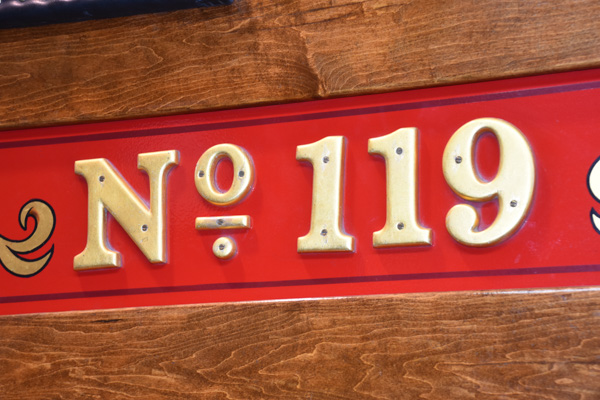
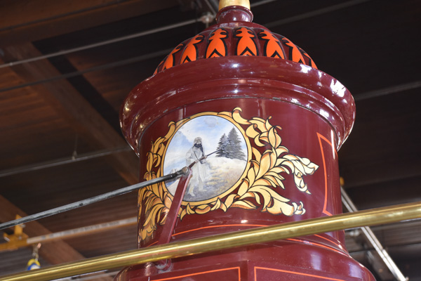
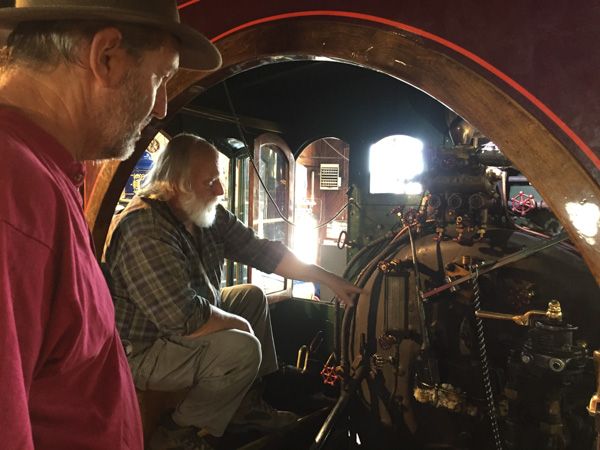
We spent some time in the No. 119 talking to the man who operates the engines.
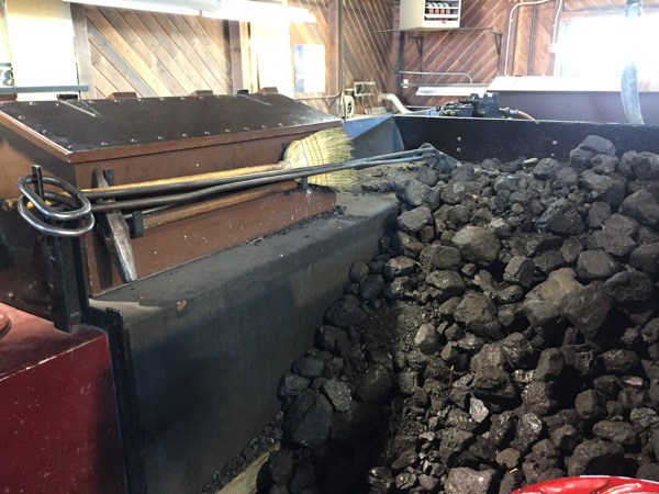
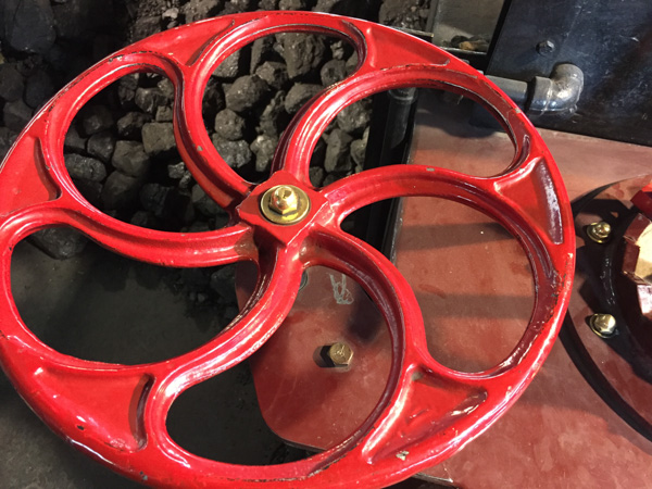
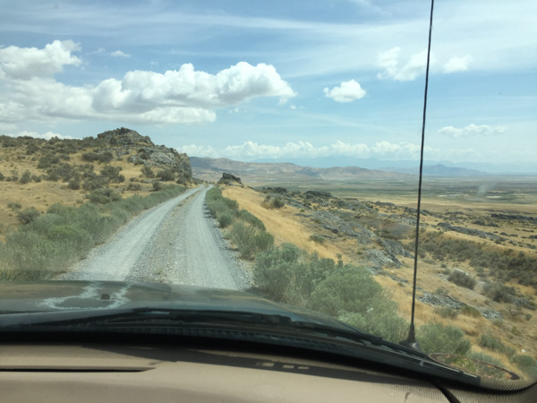
We drove part of the Union Pacific grade, now a road, when leaving the site.
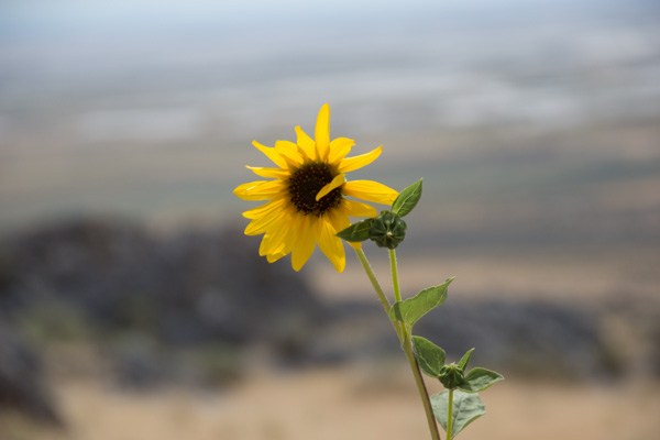
We made a couple of stops along the way. I didn't take many flower photos on this trip. When you're practicing 70 mph drive-by photography flowers usually aren't the subjects of choice. I did love seeing the wild sunflowers that were everywhere.
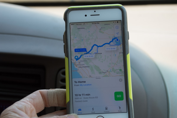
Time to head home. The map app showed 10-1/4 hours. Go!
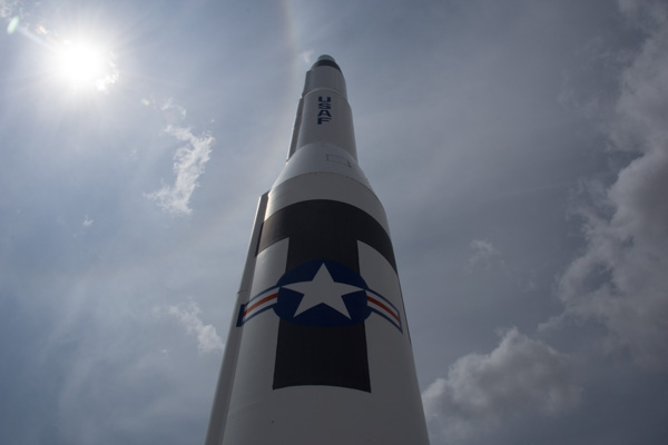
Wait! There was one more stop. From where we first got out to look at the railroad grades you could see what looked like industrial complexes covering the hills to the east. When we got back to the main road and turned north we saw that all the property to the east was part of the Orbital ATK complex. Their website says: "As a global leader in aerospace and defense technologies, Orbital ATK designs, builds and delivers space, defense and aviation-related systems ... Our main products include launch vehicles and related propulsion systems, satellites and associated components..."
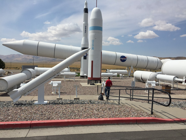
There was a Rocket Display outside the headquarters. Each piece was labeled with specs and details of use.
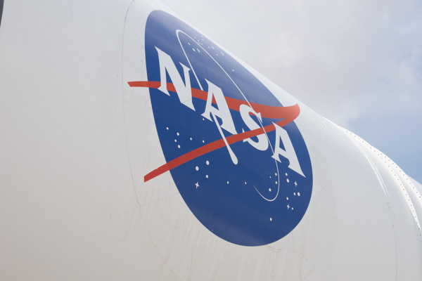
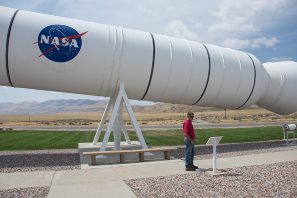
This is the reusable solid rocket motor from the Space Shuttle.
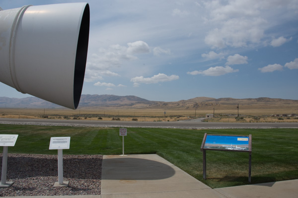
A sign that amused me is the one in red lettering that says "Please do not climb into the nozzle." I guess that wouldn't have occurred to me. The blue sign is shown below.
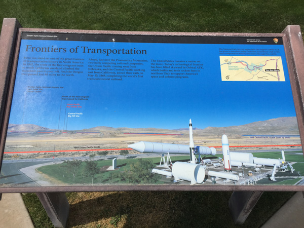
This one pointed out the railroad grades that we just visited (red for Union Pacific and blue for Central Pacific), site of the Big Fill, Promontory Summit, and the route of the pioneers, all of which were visible from here.
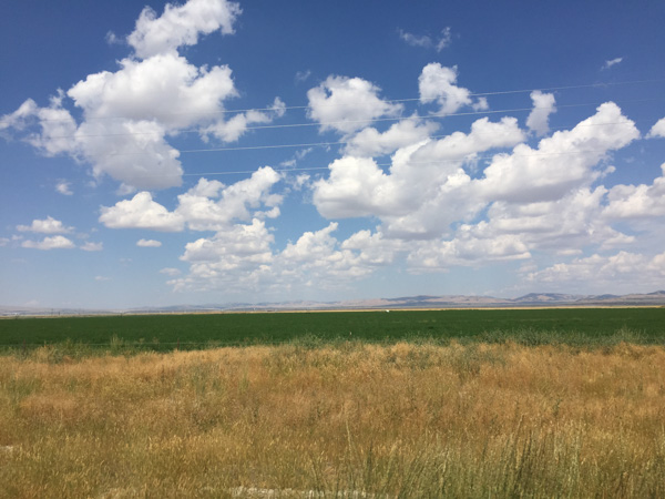
Now it was really time to start for home. These are alfalfa fields in Utah...
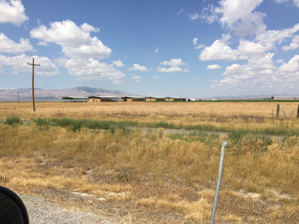
...and huge barns to store all that hay.
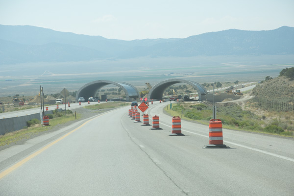
We had noticed these structures under construction when coming the other direction. I looked this up later and and found that they are overpasses for deer to try and reduce the high number of deer/auto collisions in this area. They'll be filled in with dirt and vegetation and fences will be put along the freeway to funnel the deer to that area.
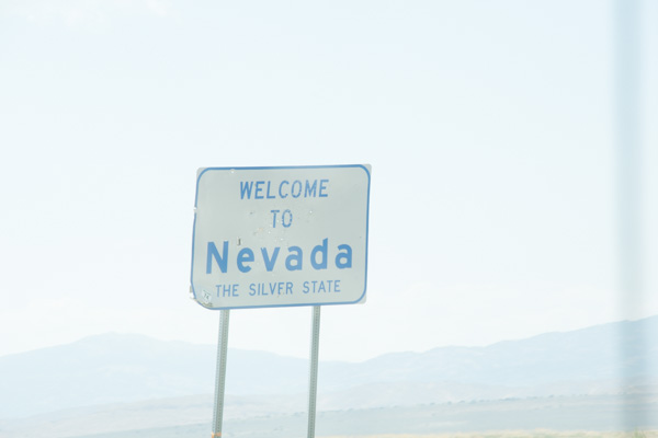
Usually when we drive on these trips I don't do much reading or other activity even though I'm not the driver.
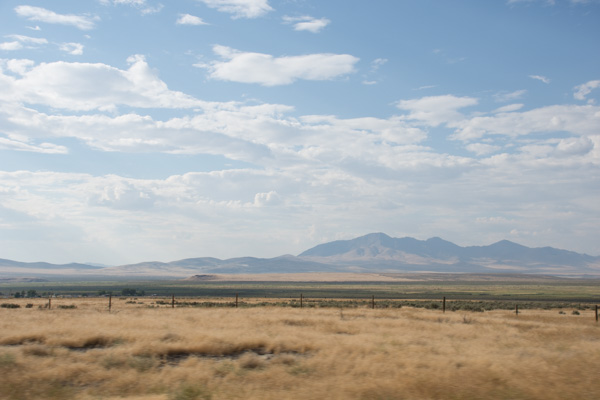
I enjoy watching the scenery. That is what a road trip is about. But driving home from Utah on I-80 isn't new anymore. And it's not as fun when you are driving straight through without stops.
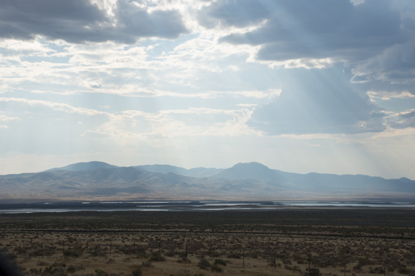
I still appreciate this landscape, but I ended this trip reading through much of the travel on this day and I read parts of the book to Dan. I read Overdressed: The Shockingly High Cost of Cheap Fashion by Elizabeth Cline. From the cover: “Overdressed does for T-shirts and leggings what Fast Food Nation did for burgers and fries.”—Katha Pollit. I've been immersed in these ideas for a long time with my Fibershed involvement but it was relatively new to Dan. Now he sees the ads in the paper in a whole new light. I could go on about that topic but I won't. I recommend that you read this book.
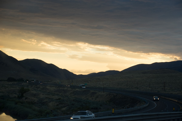
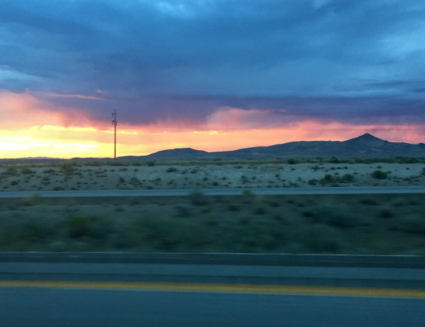
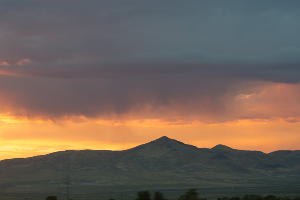
Heading west into the sunset. It was getting dark. No more reading.
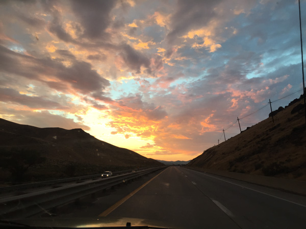
A blurry photo as we entered California.
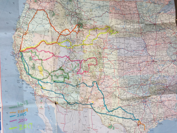
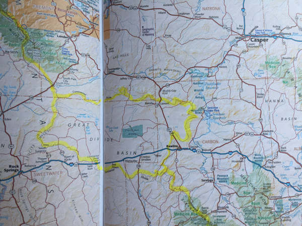
Here is a map of the trips we have taken over the last five years when we started our Road Trips. This year's trip is in yellow. Now that Dan is retired maybe we'll be able to do more than one a year. One of us isn't retired though and has a lot of animals to take care of.

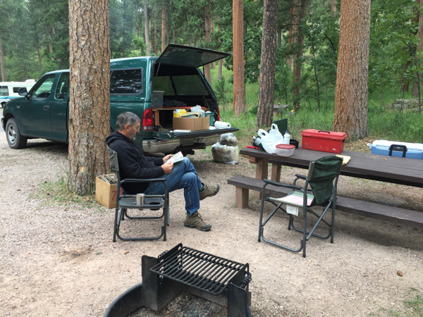
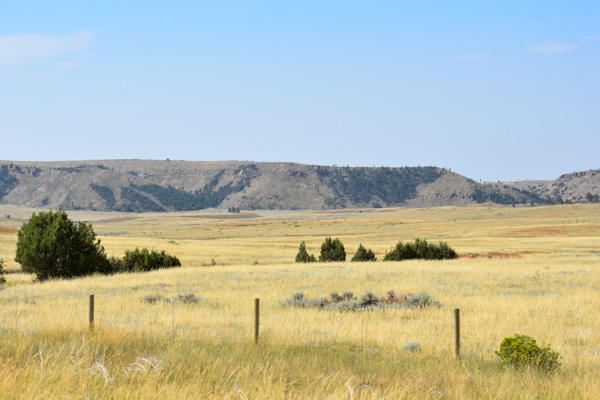
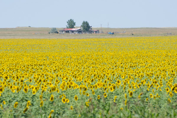
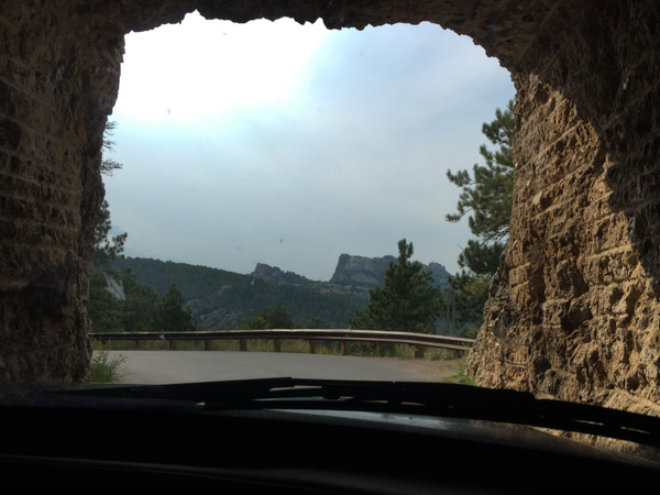
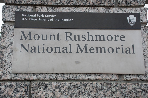
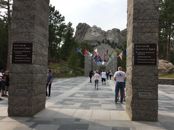
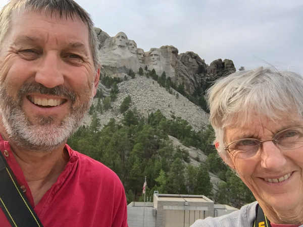
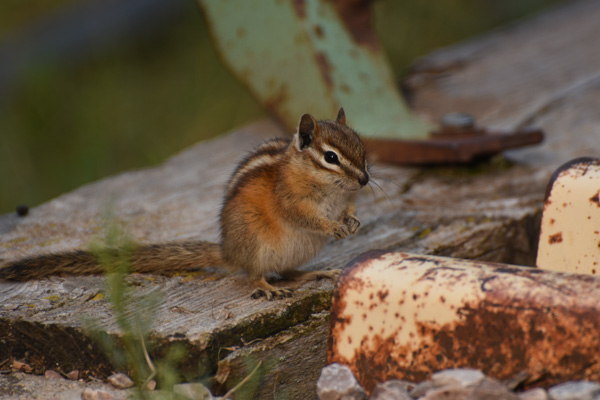
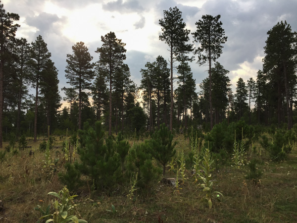
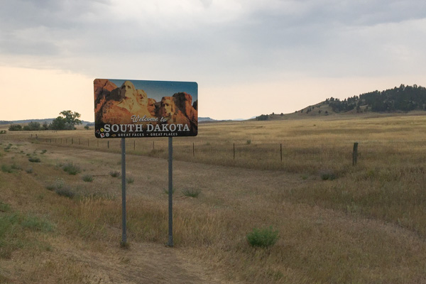
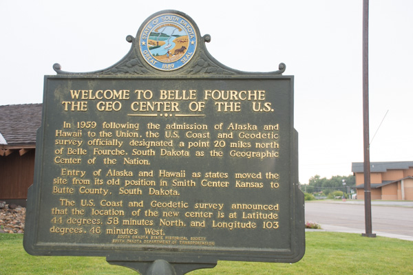
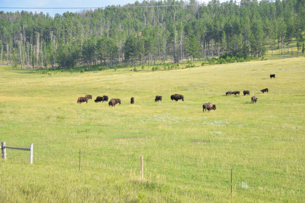
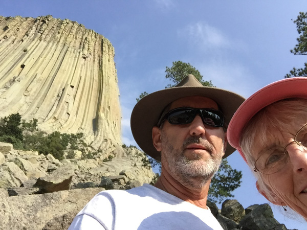
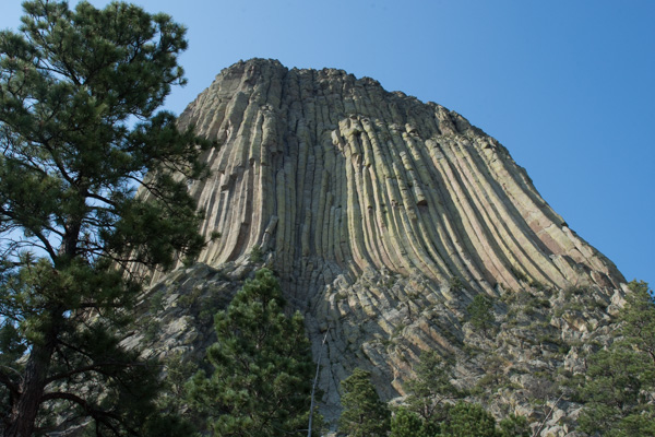
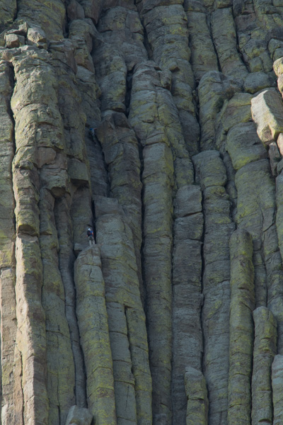
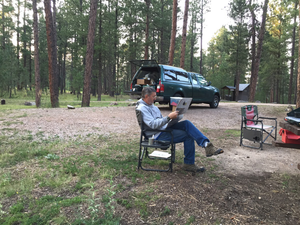
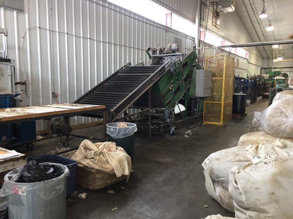
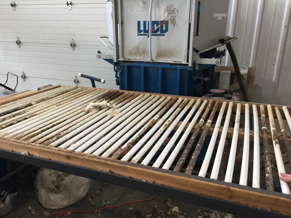
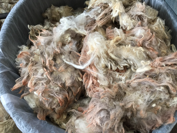
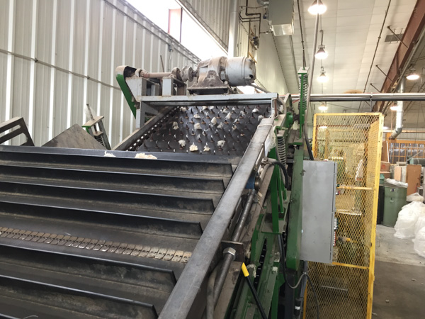
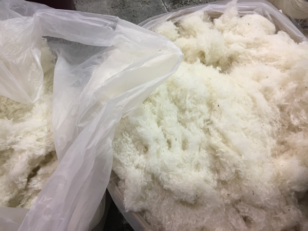
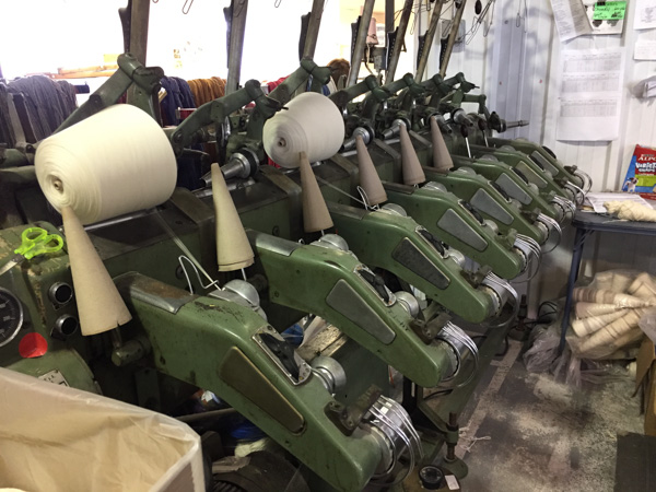
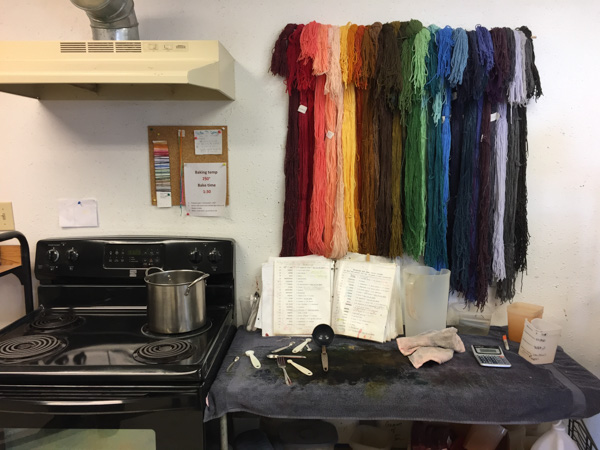
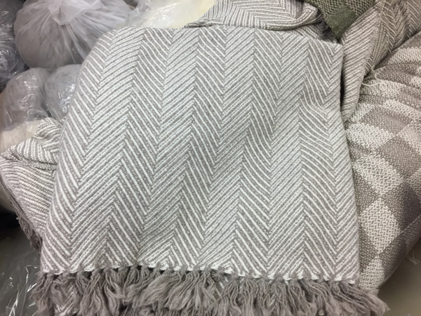
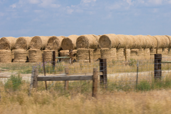
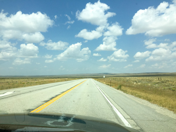
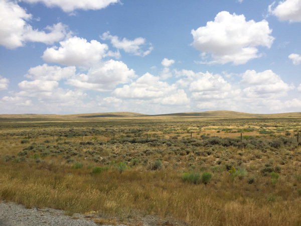
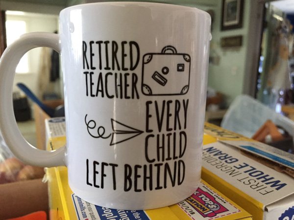 This is why we were able to take a road trip in mid-August. It is finally sinking in for Dan that he isn't going back after a summer break.