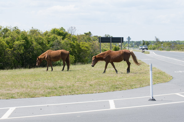
Road Trip to SD - Day 1 - Driving

I frantically got ready for this trip that I had been thinking about for six months.IMG_1354 This is why we were able to take a road trip in mid-August. It is finally sinking in for Dan that he isn't going back after a summer break.

We still weren't ready on Wednesday, the day of departure. I had told Dan that we WERE LEAVING IN THE MORNING. We did, but it was almost noon before we drove out of the driveway. The plan was to drive as far as we could, not stopping at all of the California and Oregon trail markers like we usually do because we wanted more time at the other end of the trip. For that reason and because I was not the driver-in-charge I have a lot of  "drive-by" photos. Many were deleted but some are OK and those are what I'll share.
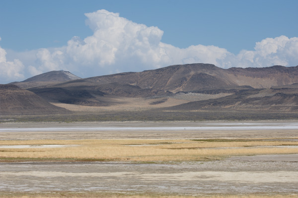
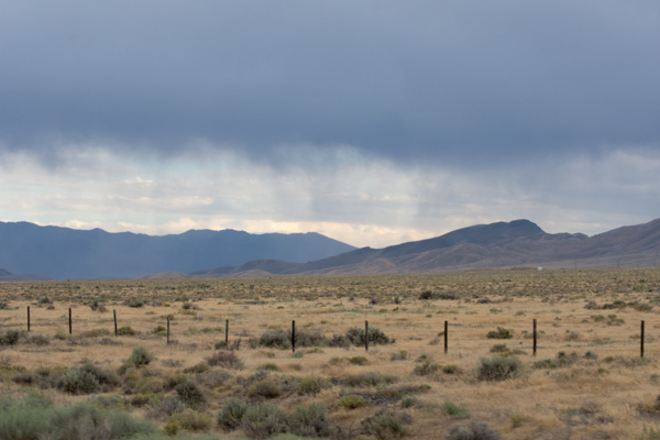
Fernly Sink & Hot Springs Mtns, NV

We were driving I-80. I love the scenery of the west, even in the Nevada desert. This is the Hot Springs Mountains that rise above the Fernley Sink.
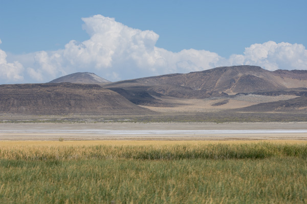
Fernly Sink & Hot Springs Mtns, NV

According to Wikipedia, an irrigation system was constructed in the early to mid-1900s and "a drainage system was also constructed to carry away excess water and mineral salts from the farmlands. This system consists of channels (5 to 15 feet deep) dug adjacent to fields; it eventually terminates in the sink northeast of Fernley."
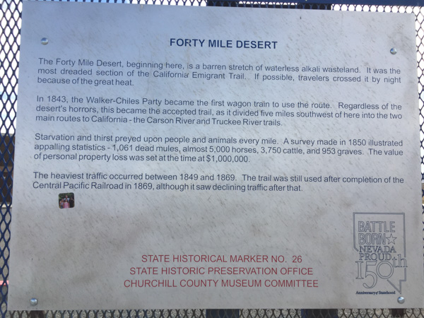
40-mile desert-NV

We didn't stop at all the roadside points of interest but this was at a rest stop. Throughout this trip we thought about the pioneer trails. They are well marked in the road atlases that we have for each state and along the highways. I can't even imagine what it would have been like to pack up the family and head west in the way that the pioneers did. We drove through the 40-mile desert in a little over 1/2 hour.
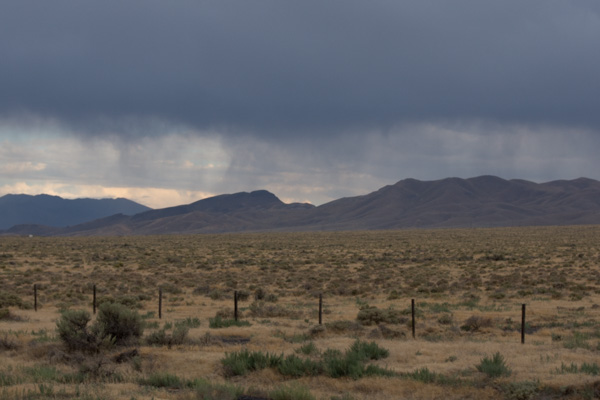
East of Valmy, NV

The mountains east of Valmy, Nevada.

East of Valmy, NV

We remember Valmy for it's rest stop where we slept on one of our road trips a couple of years ago when there was a tremendous moth invasion. We didn't need to stop to sleep here this time. Still daylight.
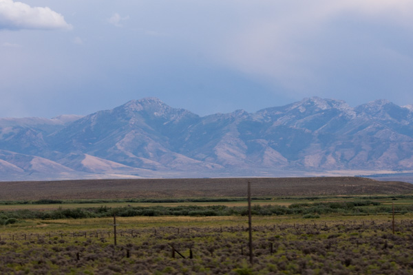
Humboldt Range, NV

Humboldt Range, southeast of Wells, Nevada.
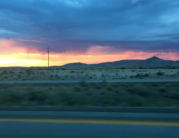
West of Wells, NV

These photos were looking back west as the sunset.
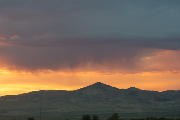
West of Wells, NV

I had to lean over the seat and reach behind Dan while holding and pointing the phone and the camera in the general direction.

Even though it was getting dark we weren't ready to stop. If we had left earlier in the day we would made it to Salt Lake City. So Dan kept driving. There is a distinct difference in the town of West Wendover (NV) and Wendover (UT). Bright flashing (gaudy) lights and Last Chance To Gamble on one side of the border and dark and "normal" on the other side. Dan kept driving. We passed through the Great Salt Lake Desert in the dark and finally stopped at a rest stop at the east side of the salt flats.

Those of you who read my blog know that I have written a sort of travel journal with photos each year for the past several years when we have made our annual road trips. I have no idea how many people actually read these, but I write these blog posts because they substitute for the old scrapbooks and photo albums that I was never able to keep up with. I also like reviewing the photos and looking up some of the information that I may have forgotten. It helps me keep it all organized in my brain. If you are one of the regular readers, I'd love to know about it. Stay tuned for Day 2.

 

MJ Adventure Team Goes to MD - Day 7 - Ponies!

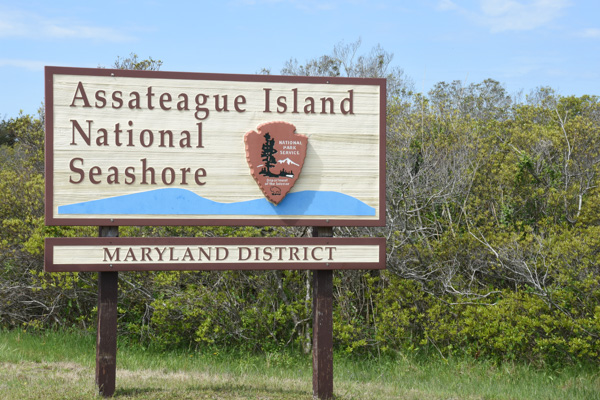
It's been almost a month since we started embarked on this trip so I guess I've had extended enjoyment while organizing photos and thinking about the blog posts.  I don't know how many people really read my posts, but there have been some who have asked "what about the ponies?" Day 6 was spent learning about Fort McHenry and exploring Harriet Tubman Underground Railroad. We spent a comfortable night at our AirB&B in Berlin and got on the road in time to get to the Assateague Island National Seashore...  DSC_1017
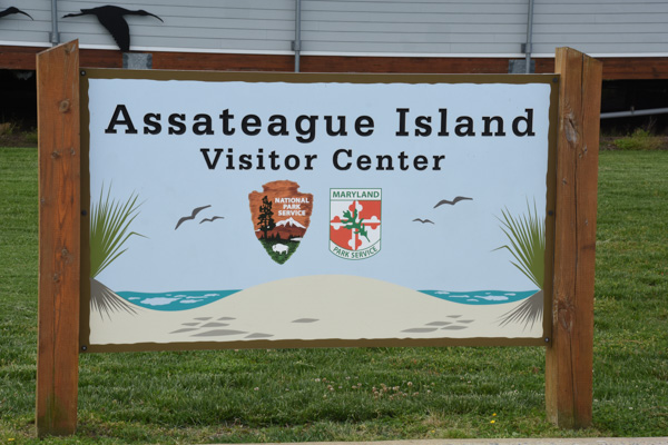
...when the Visitor Center opened. The area is managed jointly by the National Park Service and Maryland Park Service.

DSC_1019

Assateague Island is a barrier island that is 37 miles long and separated from the mainland by Chincoteague Bay and Sinepuxent Bay. The northern two thirds is in Maryland and the southern one third is part of Virginia. If you were a horse-crazy girl once then what you know about these islands is that there are wild ponies living there, made famous by Marguerite Henry's book, Misty of Chincoteague.  We had come to find the ponies.

DSC_1025

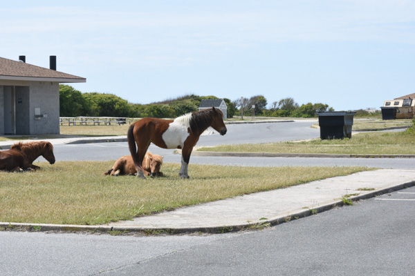
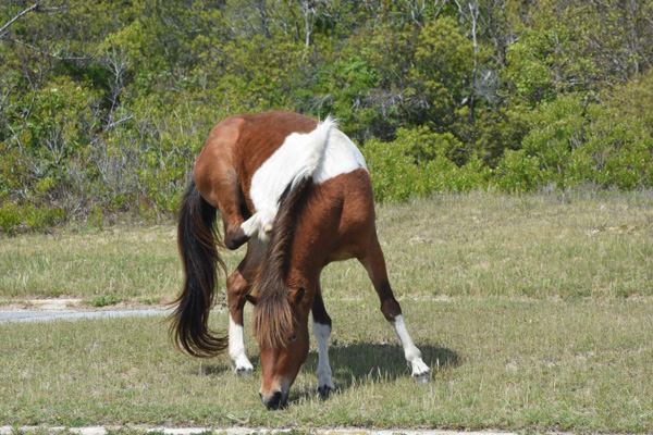
Only part of  the island is accessible on a paved road that connects campgrounds and trails. We hadn't gone far when we found them. Ponies!

DSC_1021

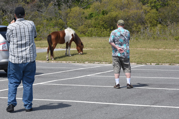
Just pretend that you don't know that they were in a parking lot near the bathrooms. Signs everywhere warn people to leave the ponies alone and don't offer food. It's the same kind of warnings that you read in Yellowstone about not feeding bears and packing food away. People are kicked and bitten by ponies and the ponies are hit by cars when they get used to people offering food.

These ponies didn't seem to be going anywhere soon...

DSC_1029

...so we walked to the beach.

IMG_9633

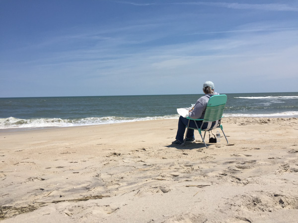
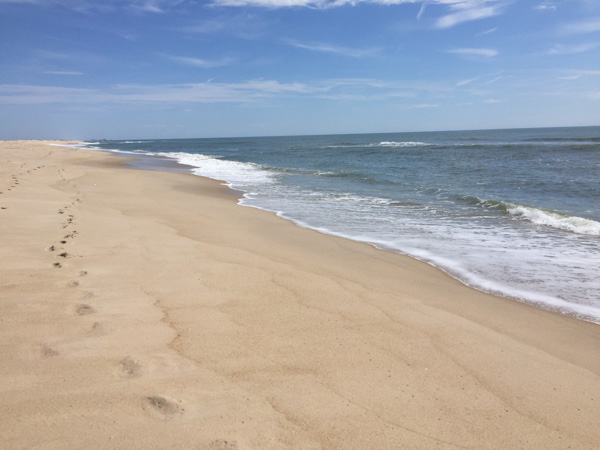
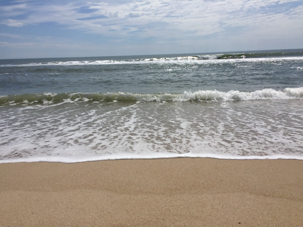
We had made it to the Atlantic.

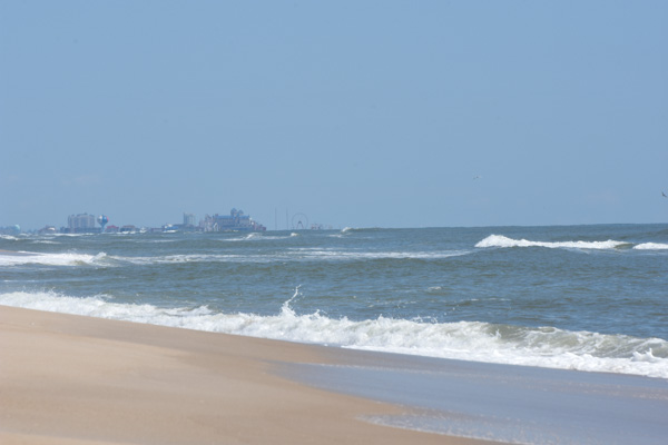
DSC_1035

That is Ocean City, about 10 miles north. Can you see the ferris wheel and the amusement park in the middle of the photo? What a contrast when looking from the National Seashore.

DSC_1038

The barrier islands are "among the most dynamic landforms on earth". There is constant change. Assateague Island is moving west, at an accelerated rate after jetties were constructed near Ocean City in the 1930s.  At one time Assateague Island was to be developed, and in the 1950s a 15-mile road was created on the Maryland side of the island. A hurricane in 1962 wiped out structures and covered the road, and legislation in 1965 created the National Seashore.

DSC_1070

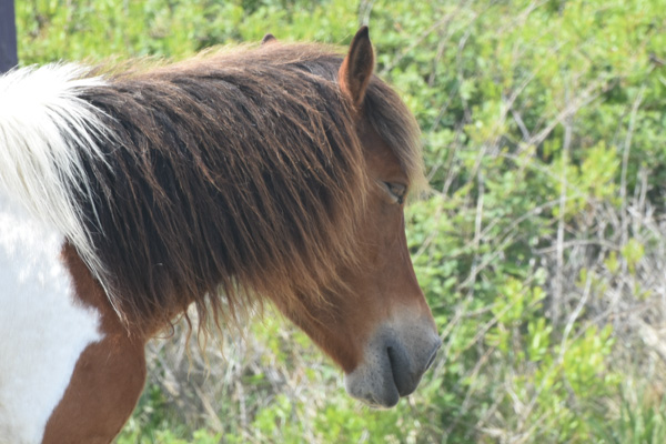
The ponies are most likely descendants of horses that were brought to the island 300 years ago by farmers who took advantage of the natural "corral" made of water. Farmers were required to pay taxes on their livestock and by turning them loose on the island, they could avoid the tax. I usually try to be scientifically accurate about what I write, but there is some artistic license here. The documentation from the Park Service says that genetically these are HORSES, not PONIES. The small stature is a result of years of adaptation to a diet of abundant, but nutrient-poor salt-marsh grasses.

DSC_1064

Sorry. I will continue to call them ponies while I'm talking about our visit. They are used to paparazzi. We were lucky to be visiting in the off-season and on a weekday. There were very few people around. It would have been a very different scene if the parking lots and roads were full.

DSC_1044

The ponies wandered off and we drove on to find more.

DSC_1078

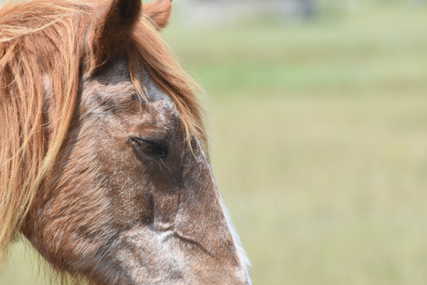
This looked like a very old pony at an empty campground. The Maryland ponies are managed as wildlife are. From the brochure, "While action may be taken to end the suffering of a gravely ill, seriously injured, or dying horse, no measure are taken to prolong the lives of Maryland's wild horses. As with other species of Assateague wildlife, horses that are sick or weak do not survive." The population is controlled using a non-hormonal, non-invasive vaccine, administered by a dart, to prevent pregnancy. With this method the birth rate has been lowered to fewer than ten foals each year which maintains the population at under 125 horses.

A fence that separates the Maryland and  Virginia herds. The Virginia herd is privately owned and produces 60-90 foals each year. The foals are sold at auction after the annual swim from Assateague Island to Chincoteague Island and the proceeds go to veterinary care, the fire department, and various charities. There are week-long festivities around this event and you can see videos at this link.

DSC_1103

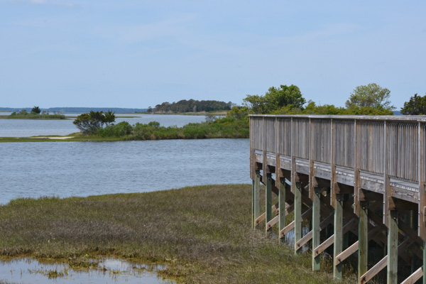
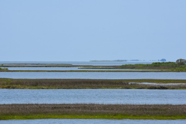
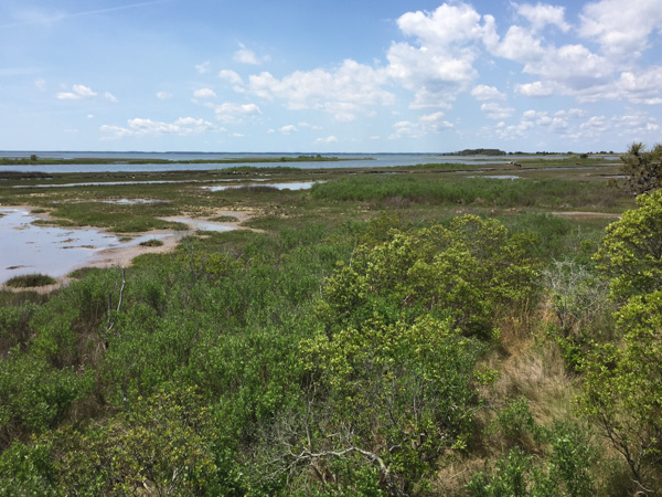
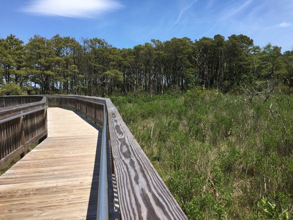
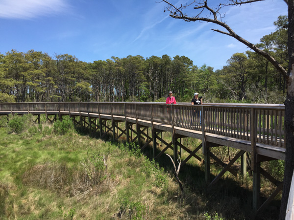
There are three nature walk trails through the marsh, the forest, and the dunes. We started with the marsh trail.

DSC_1100

DSC_1088

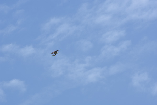
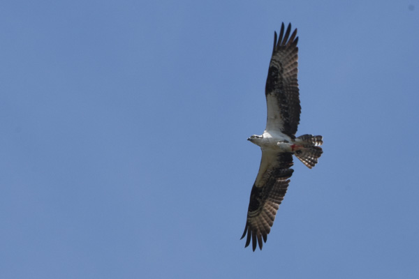
We spotted this osprey that had caught a fish.

DSC_1107

We watched for quite awhile while it circled, still carrying it's fish.

DSC_1116

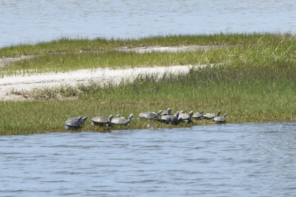
Diamondback terrapins.

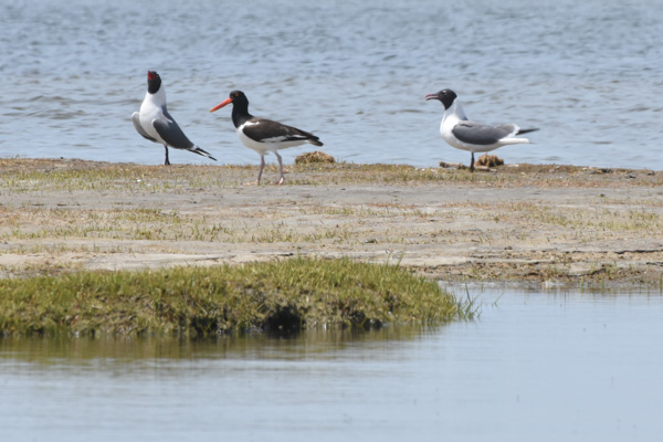
American Oystercatcher-Laughing Gull

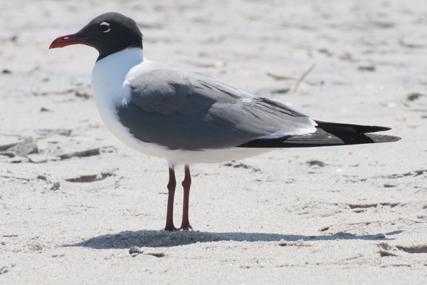
Two laughing gulls and an American oystercatcher...

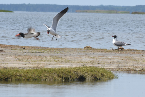
American Oystercatcher-Laughing Gull

...who was not welcome.

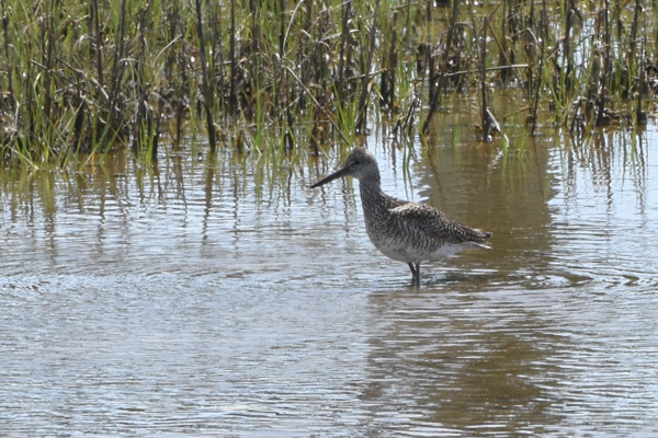
Short billed dowitcher

Short-billed dowitcher.

IMG_9649

DSC_1189

We drove down another road...


DSC_1190

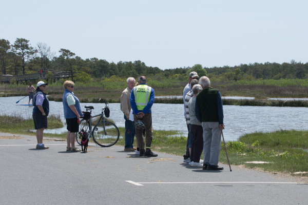
...where we saw a group of people gathered. From my Yellowstone experience (people stopping in the road when wildlife is spotted), I figured that that meant Ponies!

DSC_1200

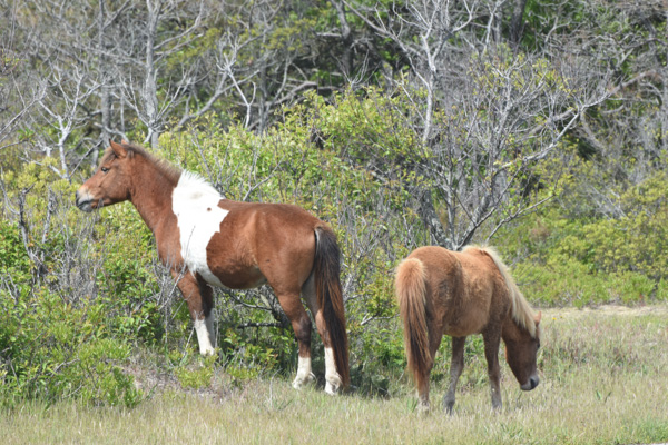
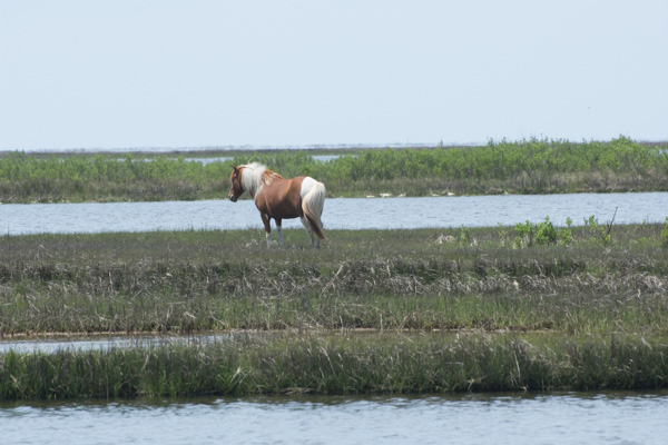
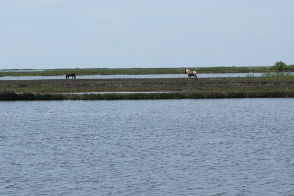
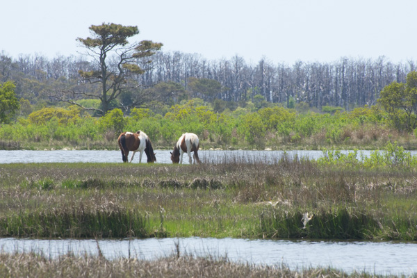
This group was a little more picturesque, being "in the wild" instead of "in the parking lot".

DSC_1203

DSC_1210

DSC_1245-2

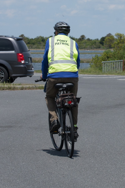
There was a Pony Patrol volunteer with that group of people answering questions and making sure that ponies aren't harassed.

We drove to the next trail--the forest nature trail.

IMG_9650

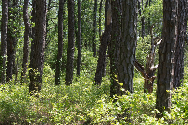
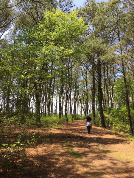
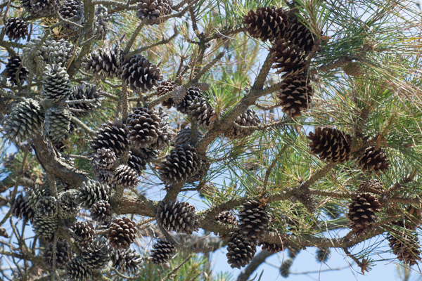
Loblolly pines are the dominate forest species.

DSC_1301

DSC_1299

DSC_1297

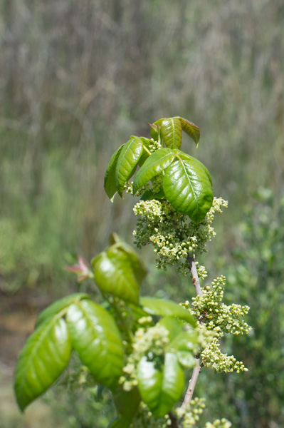
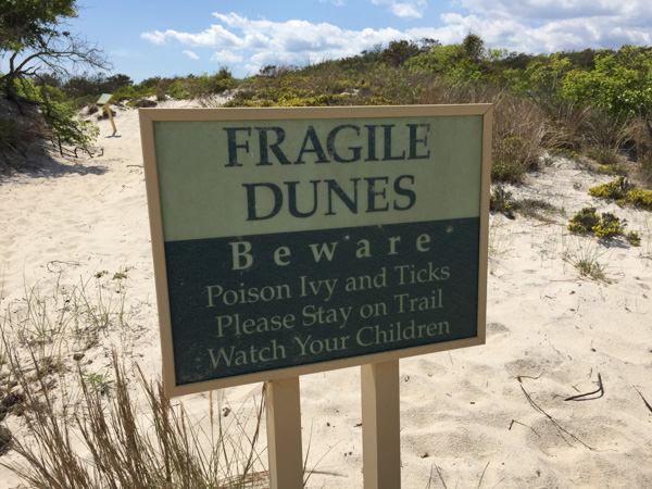
Poison ivy.

IMG_9652

IMG_9645

IMG_9641

DSC_1275

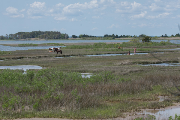
At the end of that trail we saw the same group of ponies, but from a different view. Notice the paddle-boarders in the marsh. What a great way to see the marsh and the ponies.

One more interesting pony fact: "The Assateague horses drink over twice the amount of water that domesticated horses will due to their salty food supply. All that drinking combined with a high salt diet contributes to their bloated appearance."

DSC_1307

We drove to the Dune Nature Trail.

IMG_9653

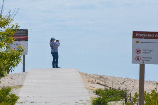
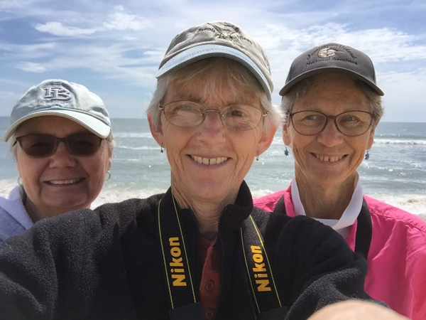
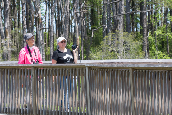
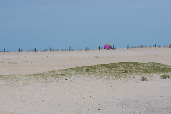
Chris needed some beach time so Kathleen and I walked the trail while Chris enjoyed the beach, albeit a bit cold and windy.

IMG_9655

DSC_1328

DSC_1332

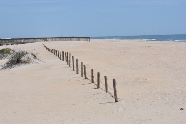
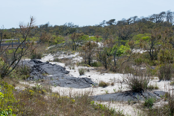
Remember the road that I said was built in the 1950s? Part of it is still visible.

DSC_1341

DSC_1323

IMG_9630

IMG_9631

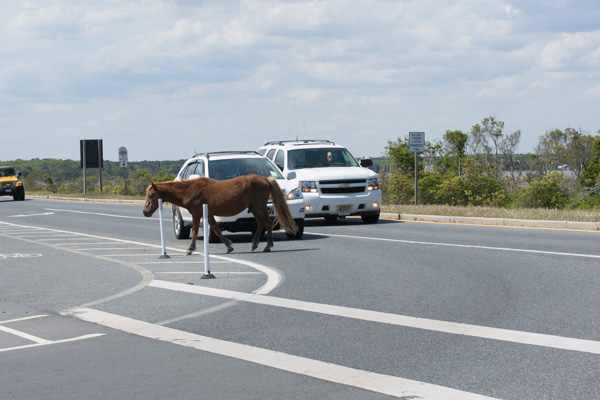
As we left the park we were faced with that age-old question.

DSC_1351

"Why does the pony cross the road?"

DSC_1352

Because the grass is greener?

This was another full day (and a very full blog post) but there is more Maryland scenery. That will be another post.