We got to Big Bend National Park at dusk (this blog post). We quickly ate our beans and some kind of quick-cook rice dish, put all the food in the bear boxes (which made Matt think twice about his sleeping accommodations), and went to bed. It was COLD. I understand that we were not in Wyoming or Alaska or Antarctica. We were not in blizzard conditions. I can't even imagine that. But this was plenty cold enough for me and, looking ahead to a whole night, I was turning into a real weenie. I eventually warmed up in my sleeping bag, but I had a realization about winter road trips. It gets dark at 6:00 and when it is really cold and you can't have a fire there is nothing else to do but get into a sleeping bag. During our summer road trips we may go to bed at 9 or 10 and then read for awhile. But 6:00 is a full five or six hours earlier than my normal bedtime. I have decided that any future winter toad trips may include motels. But I digress...
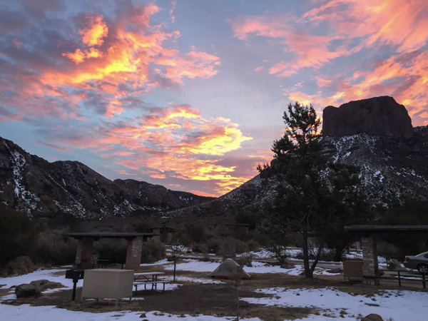 Sunrise from the campsite in the morning. I wouldn't have seen that from a motel room.
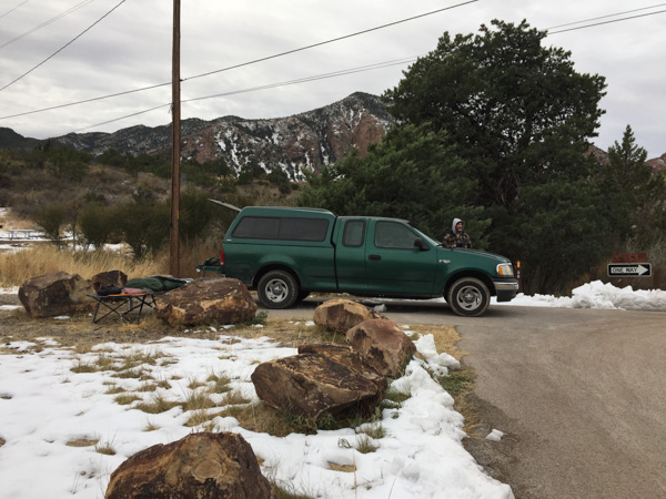 We spent the night in the back of the truck. Notice Matt's cot and sleeping bag. Fortunately no one was bothered by bears.
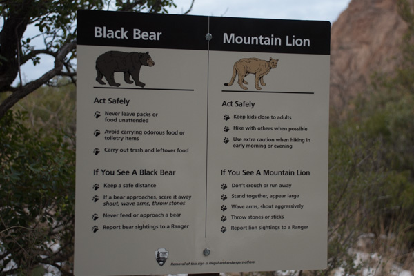 ...although we saw this sign at the trailhead right near our camp.
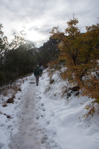 We left camp early and went for a hike up the Lost Mine Trail. I was glad that I had a walking stick with me because much of the trail was icy and slippery.
'
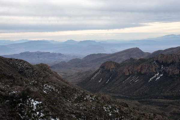 This is the view to the south from where we were standing in the last photo. The southern border of the park is the Rio Grande but I'm not sure which of these mountain ridges border the river.

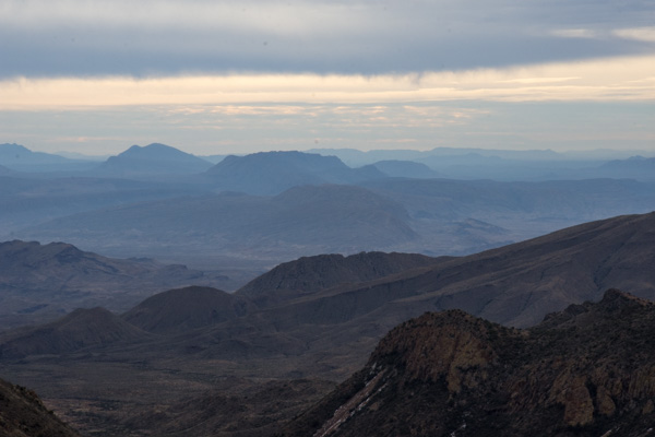 We had only a day and a half to spend in this area so we didn't plan to do any long hikes, but instead see as much of the Park as we could and get out where there were signs and shorter trails.
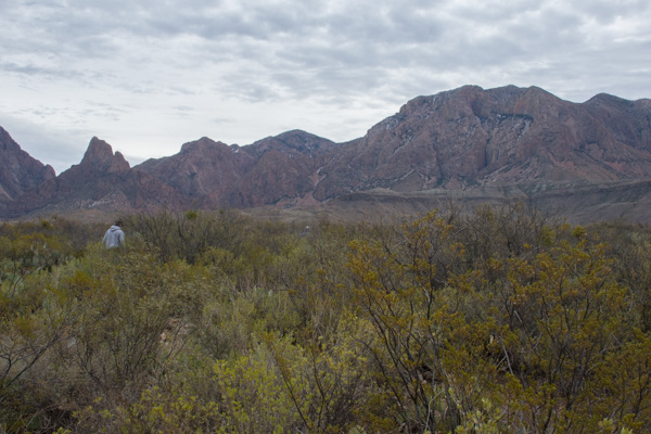 This stop was at the Sam Nail Ranch where there is a short trail to the remnants of an adobe dwelling built around 1909 when the Nail family lived here.
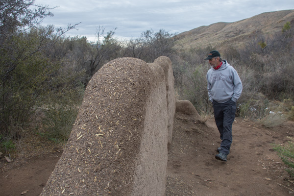 The family planted fruit trees and raised livestock, living here until the 1940's.


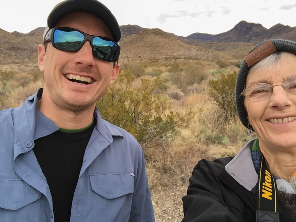 "Matt, hold still."
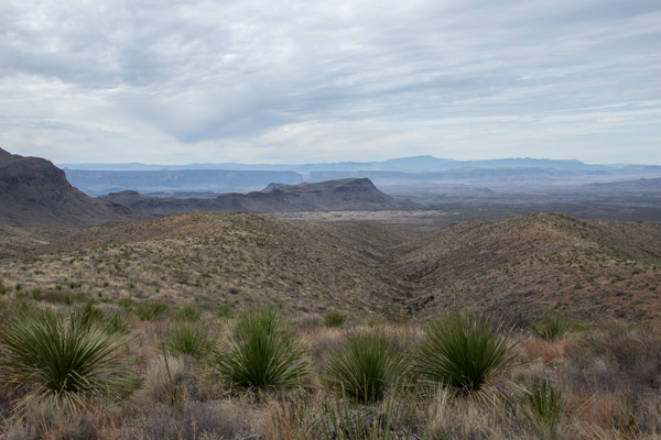 View from Sotol Vista. Do you see that slot in the middle ridge, just left of the photo's center? That is Santa Elena Canyon, about 12 miles southwest of this point, where the Rio Grande slices through the mountain, forming a narrow canyon with 1500' walls. That will be for the next post.
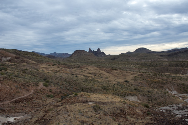 The Mule Ears View Point was the next stop.
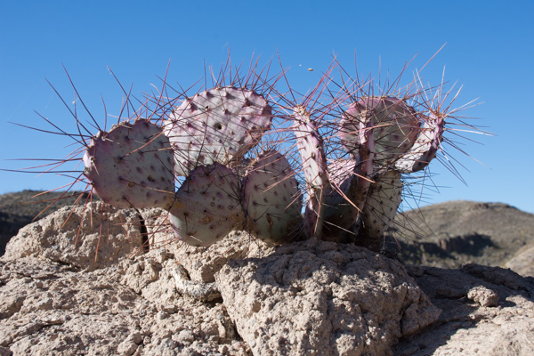
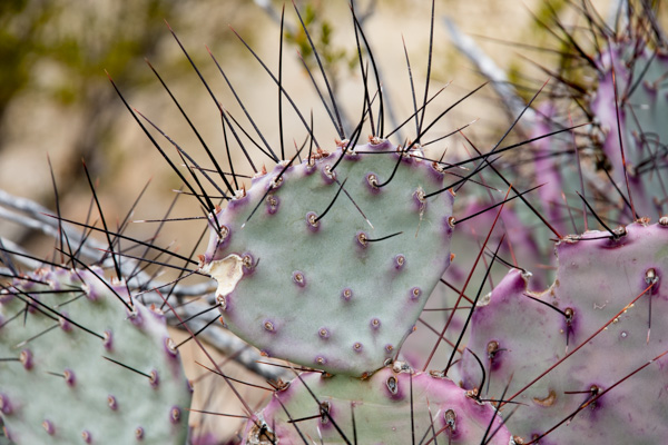 I didn't identify all the different kinds of cactus, but noticed some that were distinctly purple.

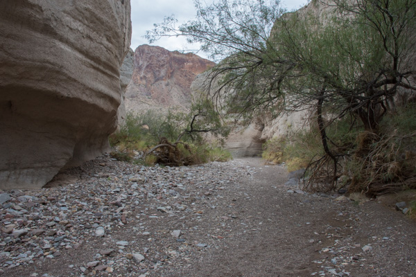 We walked into Tuff Canyon, so named for it's volcanic origins.

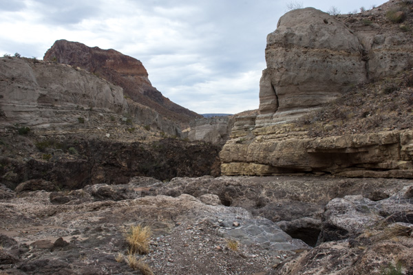 Spectacular!


We stopped at the Visitor's Center at Castolon on the southern border of the Park. We planned to stay at one of the "primitive" campsites on this site of the Park that night but were told that they were all reserved so we started thinking about Plan B. There was more to see though before we really had to worry about that.
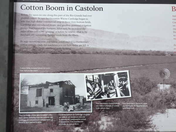 There were a lot of interpretive signs at this point. Castolon was first settled in 1901 and became a destination for refugees fleeing the Mexican Revolution. Barracks were built but never used by the army and in the 1920's the La Harmonia Company established a trading post and started growing and ginning cotton. That venture ended in the 1940's.
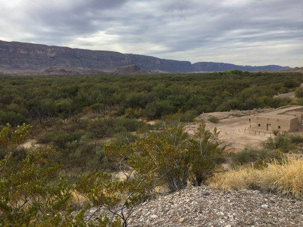 This is the modern day view of that same landscape.
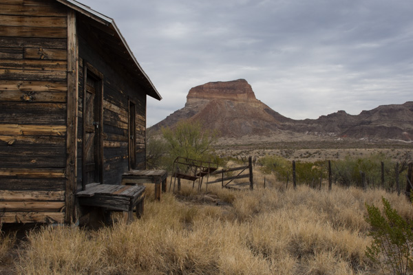 One of the old building that still remains at Castolon.

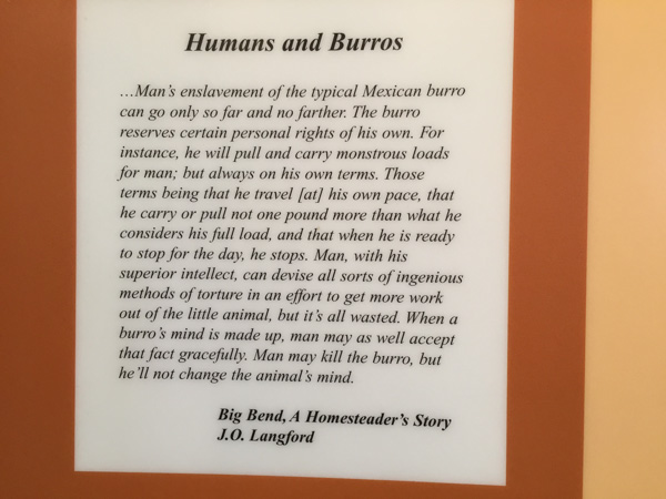 I think this statement is true.
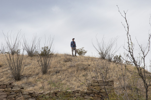 We stopped at the Dorgan House Trail, where there were more ruins.
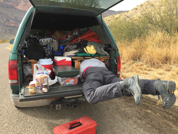 It felt like lunch time. Dan couldn't fit all the way in where he had stashed the box with my granola. Eventually I squeezed in there and he pulled me out by my feet because I was laughing too hard to get out myself.
Next post: Santa Elena Canyon.
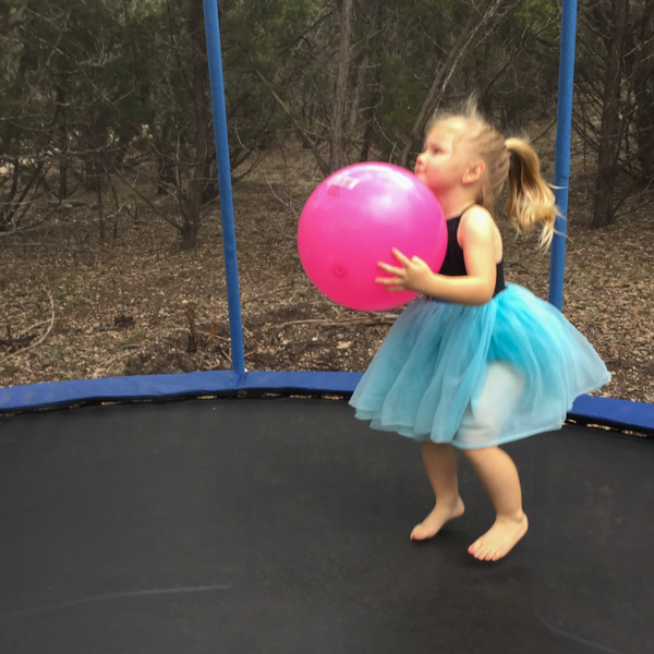
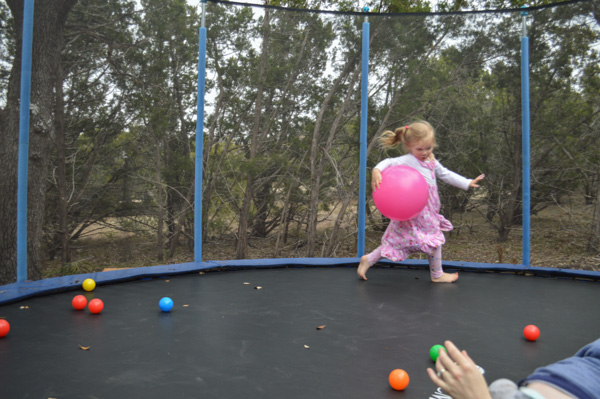 It seems that nightgowns are also good workout attire (see last post).
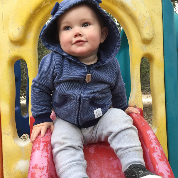
 After a strenuous workout it's hard to stay awake for lunch.
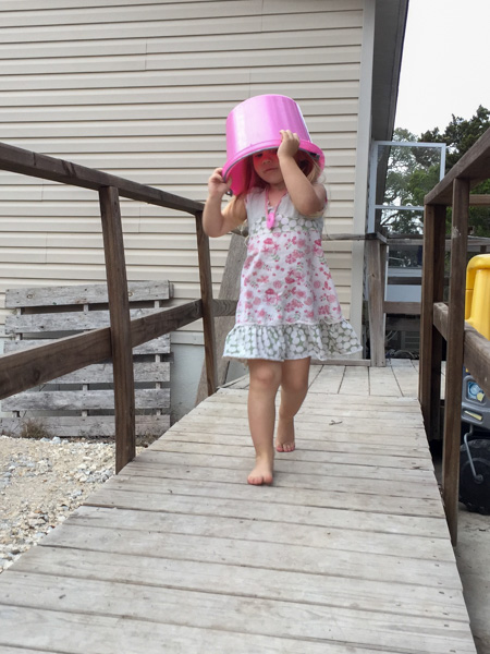
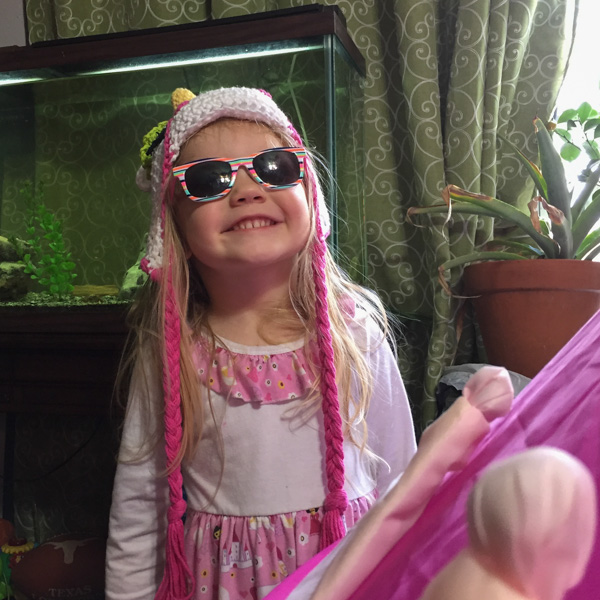 Wearing the unicorn hat she got for Christmas. Yes, there is a unicorn horn and mane on the back of this.
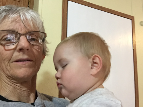 This time Kasen fell asleep before he made it to the high chair.
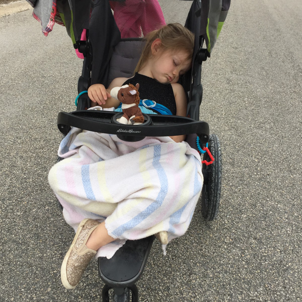 When one goes to sleep sometimes its worth going on a walk so that the other will take a nap without an argument.
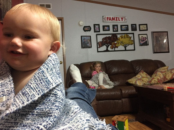
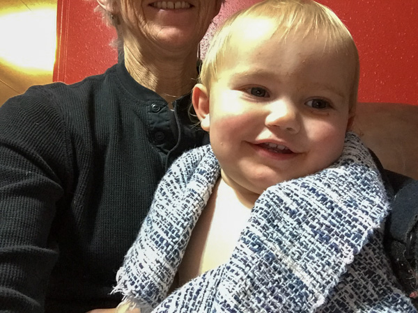
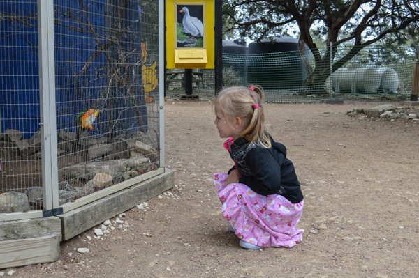
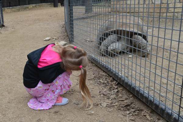
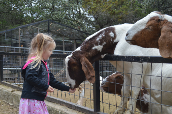
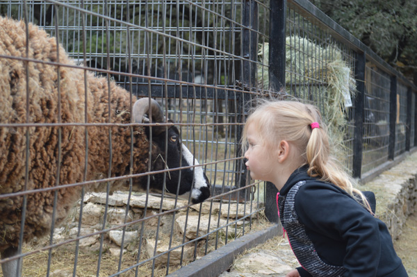
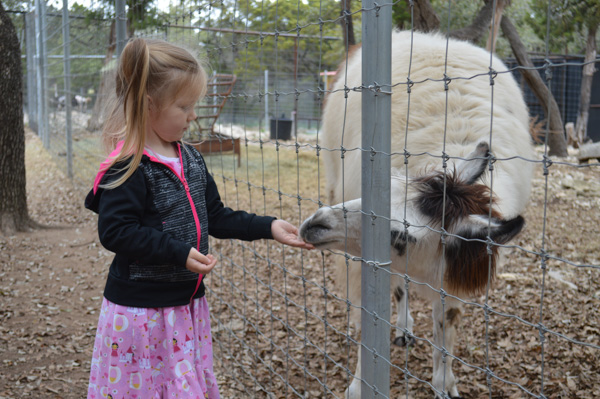
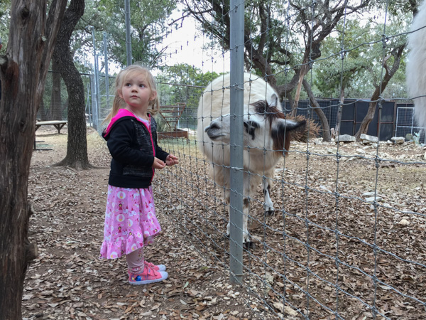
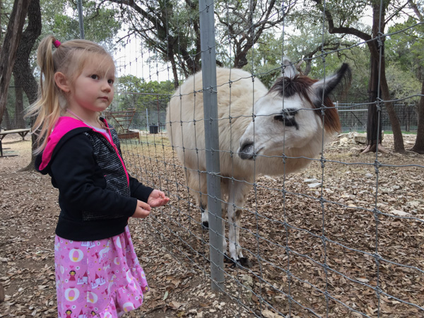
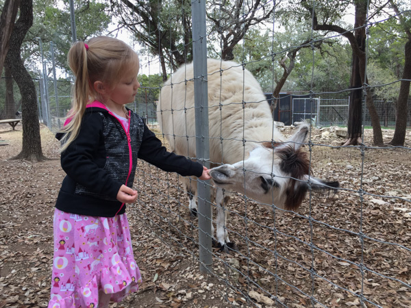
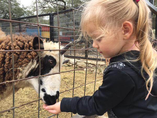 Jacob sheep at the Austin Zoo. This zoo is a rescue/animal sanctuary zoo. All of the animals were seized in animal cruelty cases, retired from other facilities, individual exotic pets that needed rehoming, retired lab research animals, etc.
 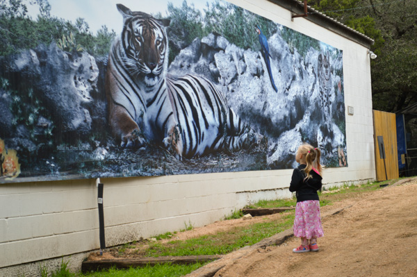 Kirby didn't want to see the lions or tigers, but I thought that this was a rather intimidating photo (not so much the tiger photo but the little girl in front of the giant tiger).
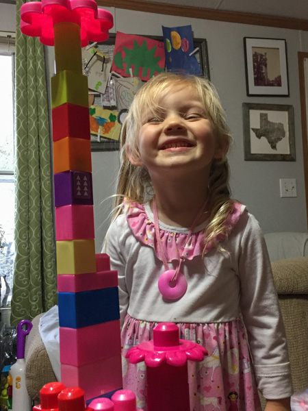 Building a lego tower with flowers on top.
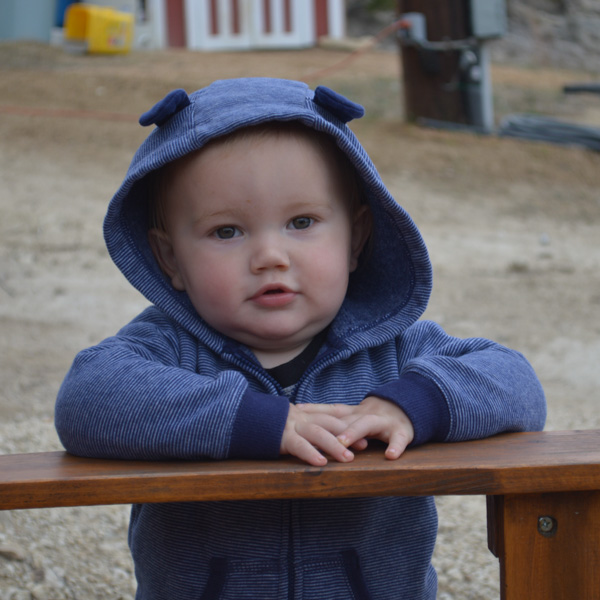
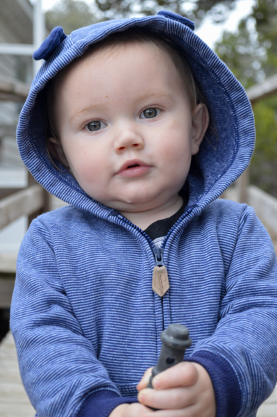
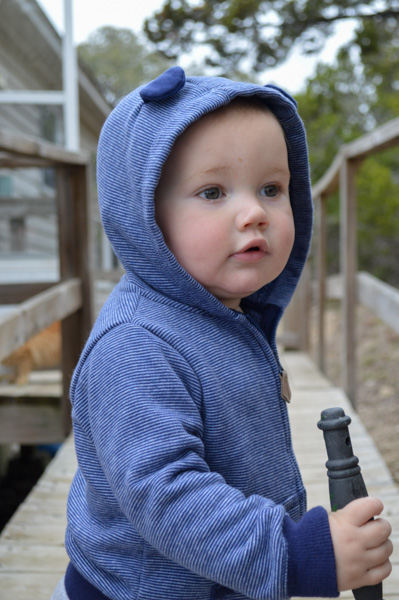
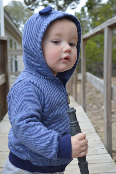
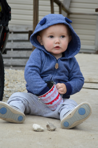
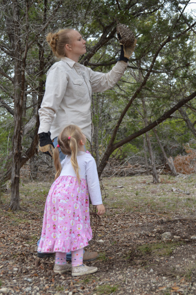
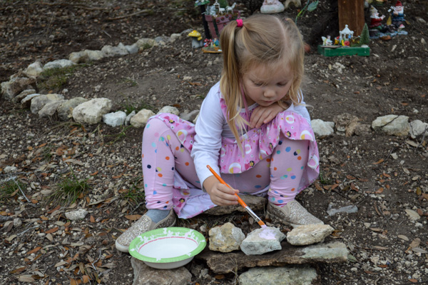
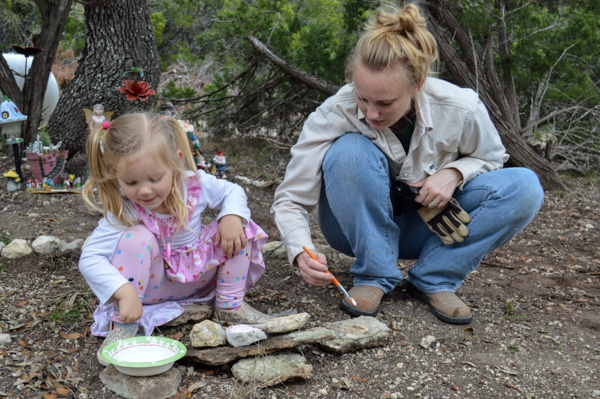
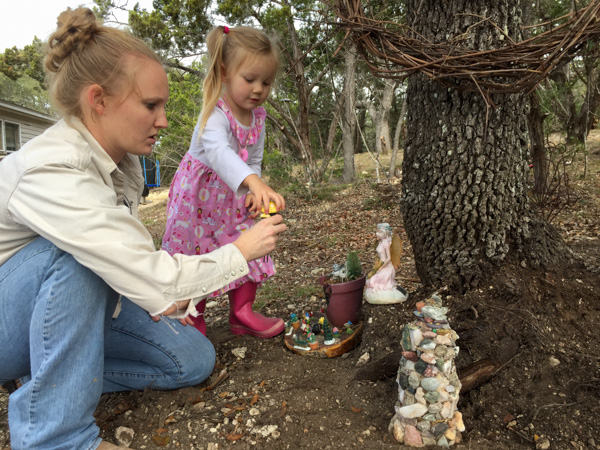
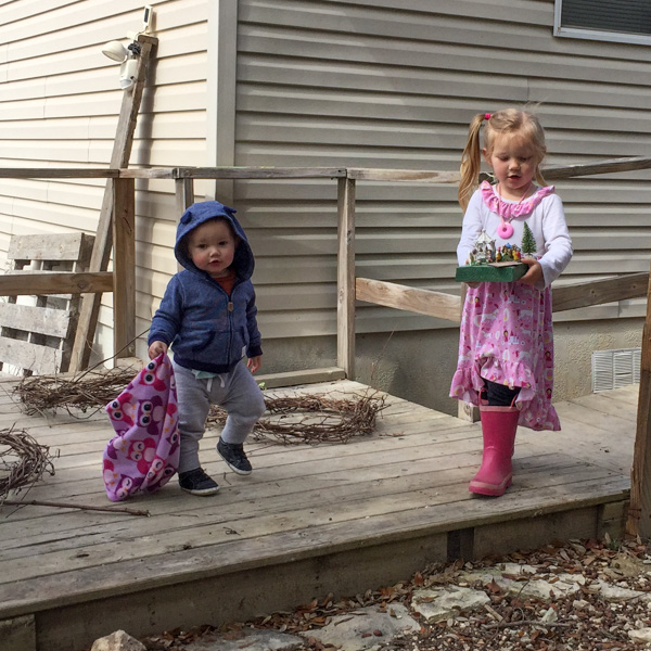
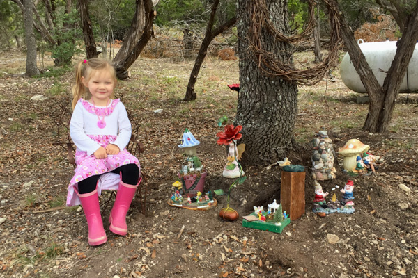
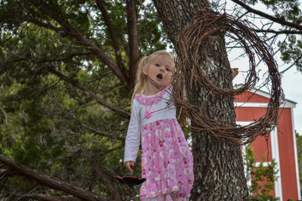 Singing Disney tunes.
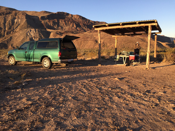
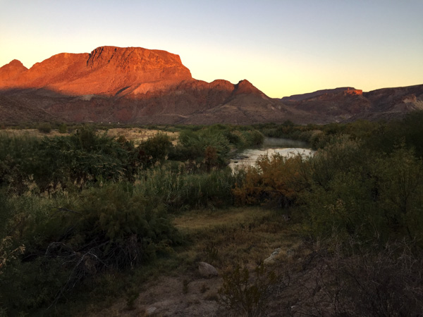 This is the area where we camped. I got up when I saw the sunrise to explore near the river. We had heard rapids but couldn't see the river from the campground.
 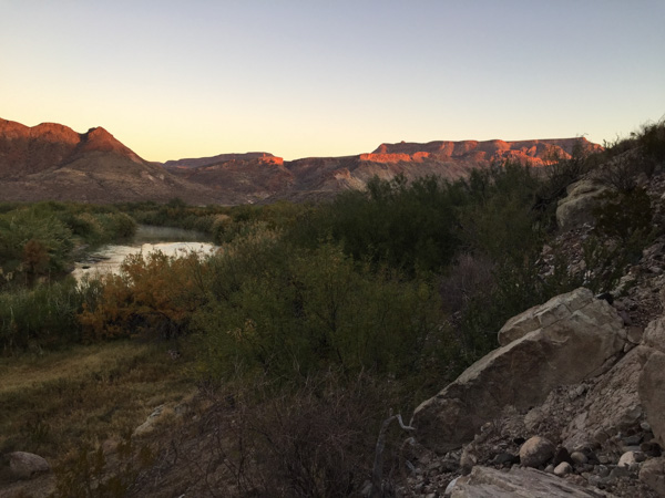 After all the signs at the previous day's stops I did start thinking about mountain lions as I walked along deer trails though those willows and brush to reach the river. So I made plenty of noise, but I also decided to move to higher ground where there was no cover.
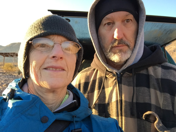
 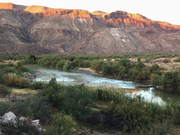 I was also glad when Matt showed up with the same idea (early morning photography) in mind.
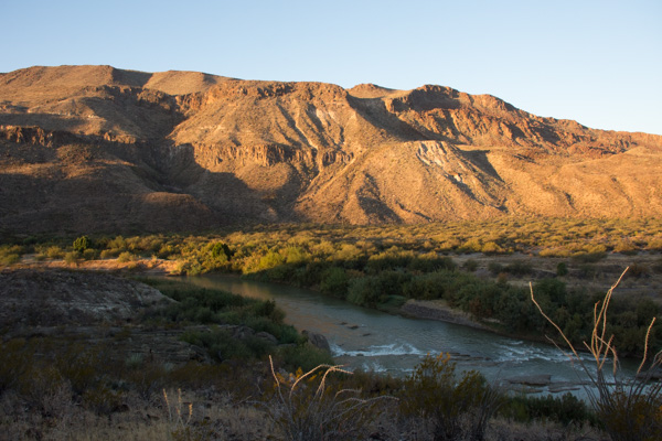 Logs and rocks in the river were enough to create the sound of rapids that we heard from camp.
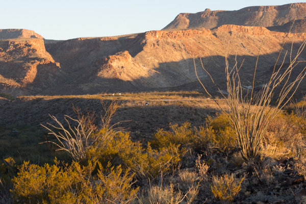 This is the view back to the camping area. That green speck in the middle is the truck.
 We looked at the map to see where we might hike in this park and found Closed Canyon.
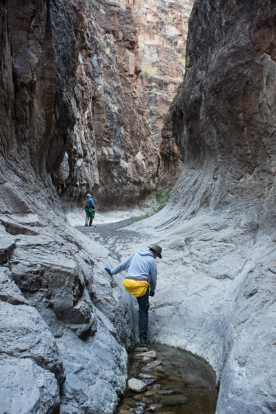
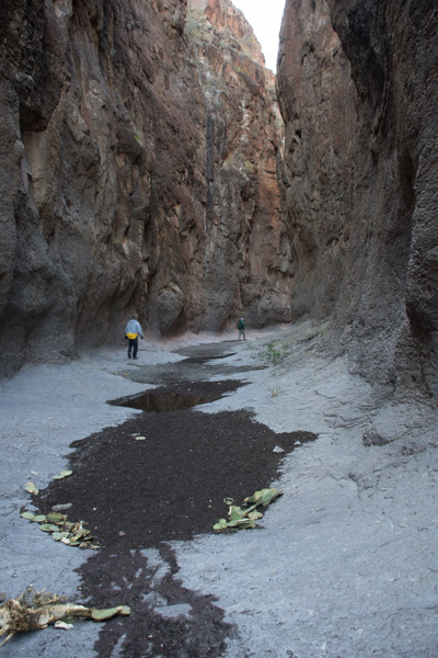 This is a canyon that leads to the Rio Grande.
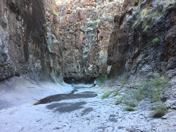 Absolutely stunning! The photos don't do it justice.
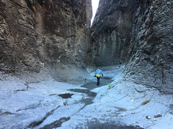
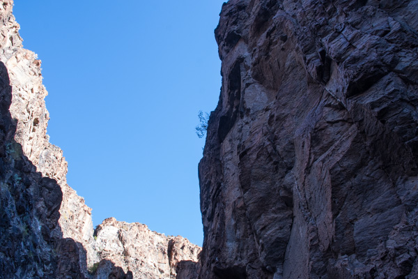
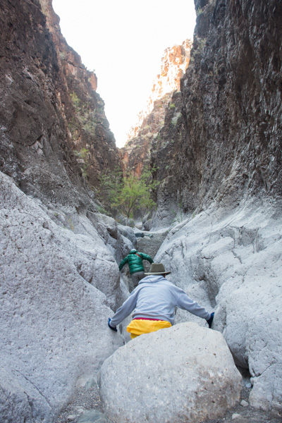 You can walk in about 7/10 of a mile before you can't go farther.
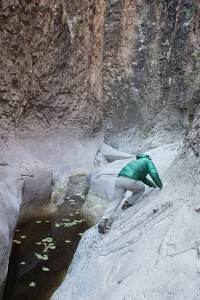 If you're a mountain goat you can try to go farther ... or if you want to get wet.
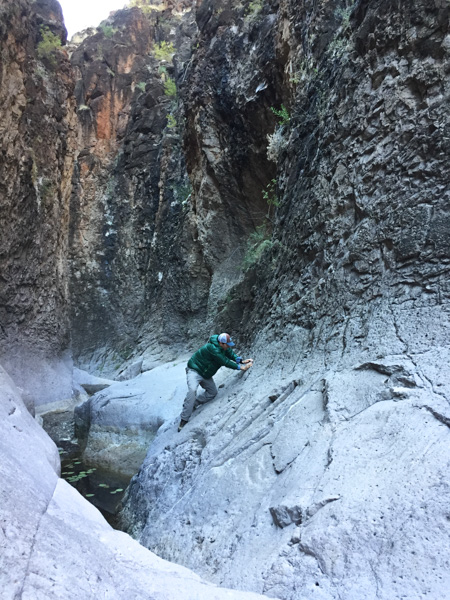 Matt went around the bend and came back. The map shows that it is a relatively short way to the river.
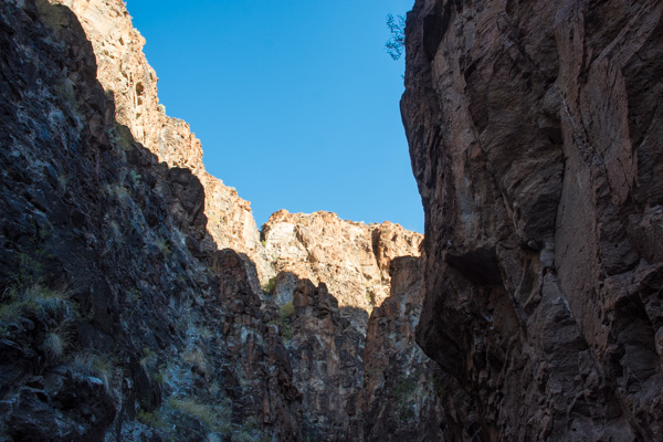
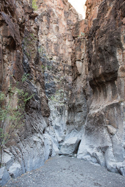 You wouldn't want to walk here in the flash flood season.
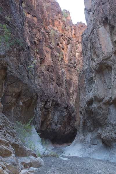
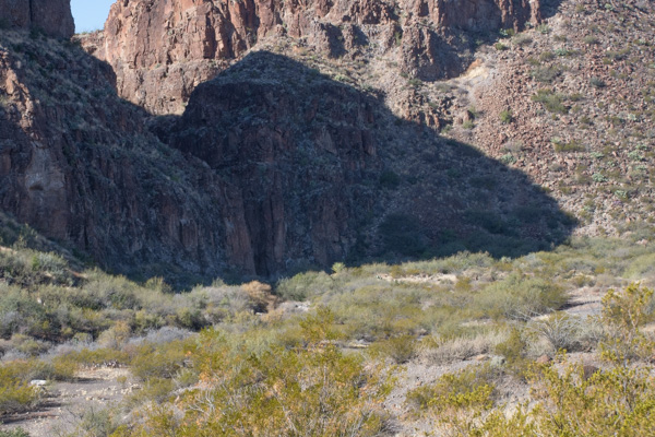 That slot in the shadow is the entrance to this incredible canyon.
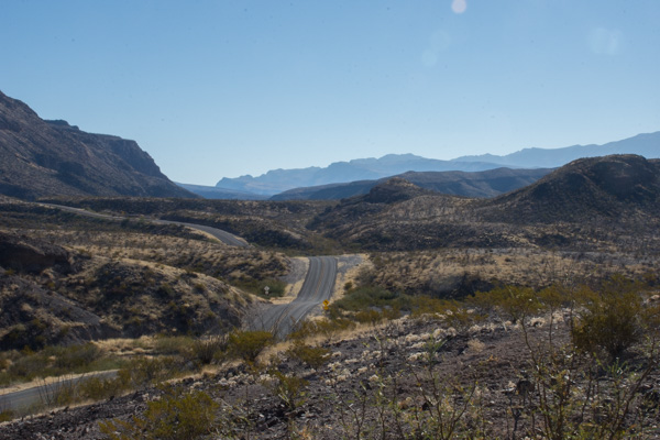 On the road again.
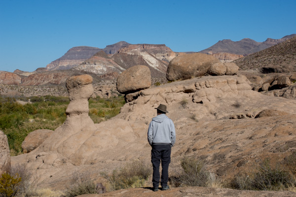 The next stop was the HooDoos Trail.
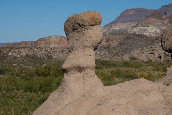 Hoodoos refers to these eroded formations.
 Matt showed me how to do photos with my camera that you can later turn into panoramas. This isn't distorted like the pano shots on the phone.
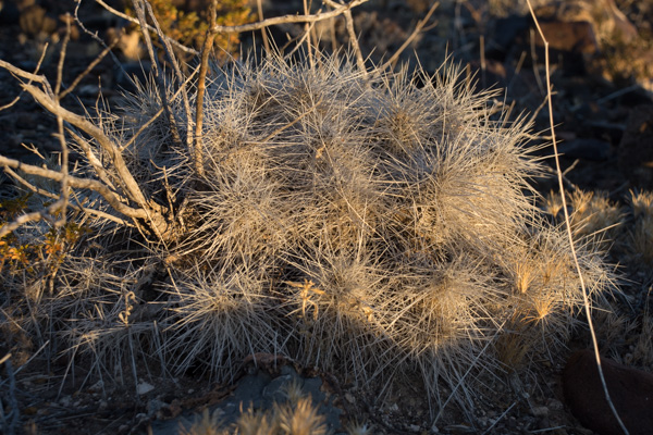
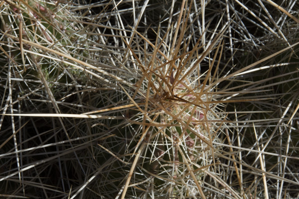 More spikey things.
 We left the park and were on our way to El Paso where we would spend the night and Matt and I would take an early flight home the next morning.
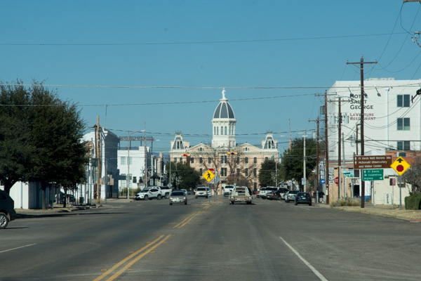 We entered the town of Marfa and Matt found on Trip Advisor that visitors could check out the dome of the city hall.
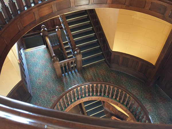 That was a good excuse to get out of the truck and stretch. This small West Texas town may be worth a second visit someday to investigate it's art venues and to find out more about the Marfa Lights (google that).
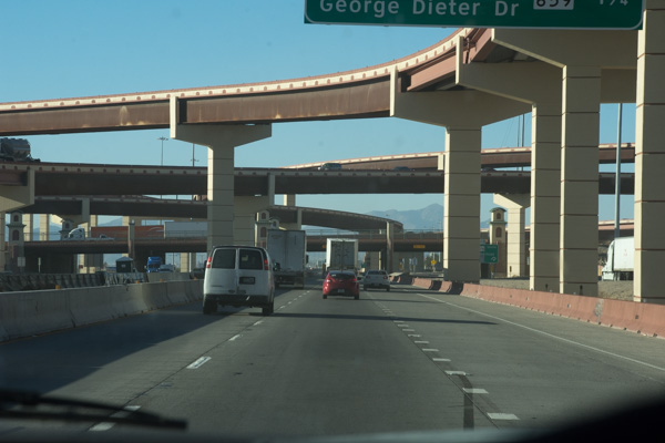 Entering El Paso.
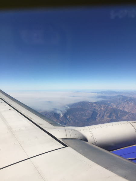 Flying over southern California where the fires were (are) still burning.
 Our first stop at the river was at raft/canoe take-out. Wildlife! I wish this was a sharper photo but I'm going to say that the javelina's coloring makes it look blurry. I just looked up javelina and learned something. Javelinas (collared peccary) are not in the same family as the pig. There are a multitude of physical differences including the type of stomach (complex versus simple), gestation length (5 months versus 3+ months), and structure of the leg and foot.
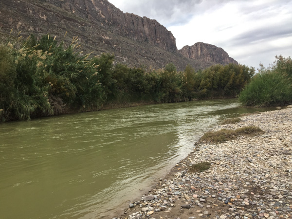 Here is a look at the river. Mexico is on the other side.
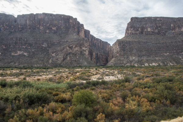 We drove on to find the entrance to Santa Elena Canyon. This is that slot seen from a distance in the previous post. It is hard to imagine from this view what it looks like in that canyon.
 The 3/4 mile trail into the canyon begins with rock stairs built at the lower part of the cliff.
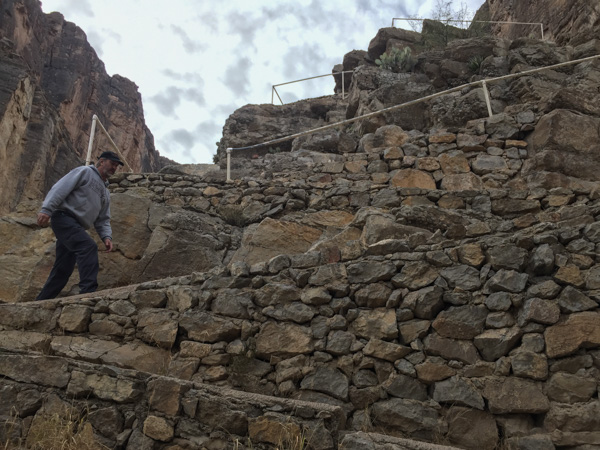
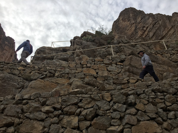
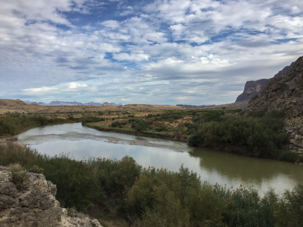 The view looking back from the stairs.
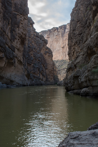
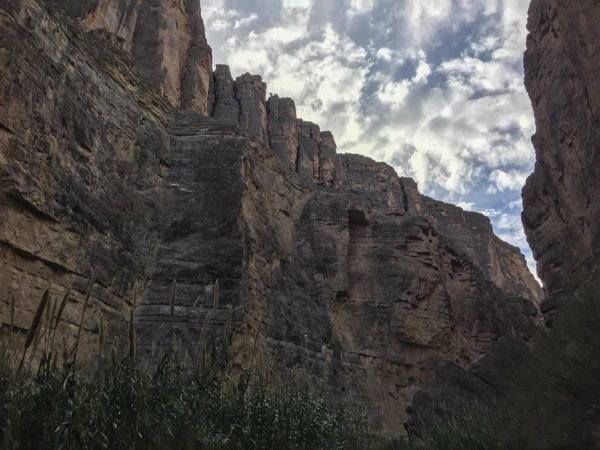
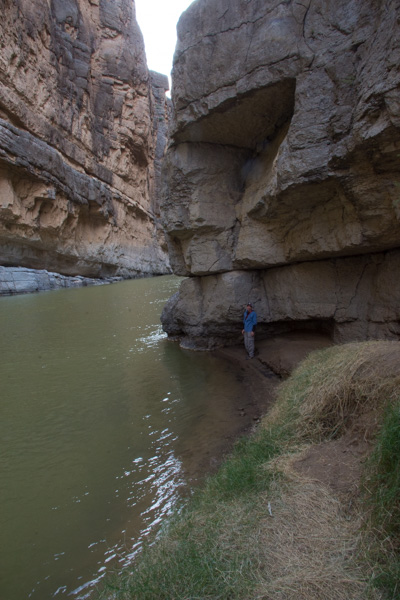 The trail ends where the cliff walls go right to the water.
 At some points the cliffs rise 1500' from the water.
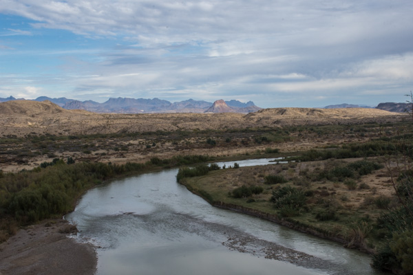 Coming back out of the canyon. In this view of the Rio Grande, Mexico is on the right. In the photos walking up the canyon, it is U.S. on the right and Mexico on the left.
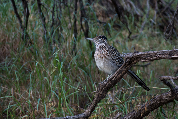 Roadrunner seen near the parking lot. We left Santa Elena Canyon and continued on a loop road that traverses the western edge of the park.
 We stopped at Luna's Jacal (Jacal: "a hut in Mexico and southwestern U.S. with a thatched roof and walls made of upright poles or sticks covered and chinked with mud or clay"), where Gilberto Luna raised "a large family"...
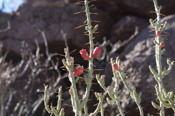
 ...and later when I spotted ocotillo that looked as though they had recently bloomed.
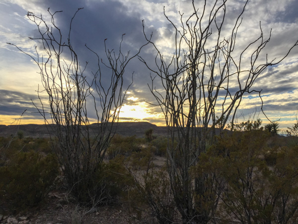 There were remnants of the red blossoms that grow at the end of the branches when there is moisture. Same with the leaves that cover the stalks for a few weeks after rainfall.
 We weren't able to find an open campsite to reserve, at least according to the person working the computer at the last visitor center (whom we had reason to doubt, but what could we do?)...
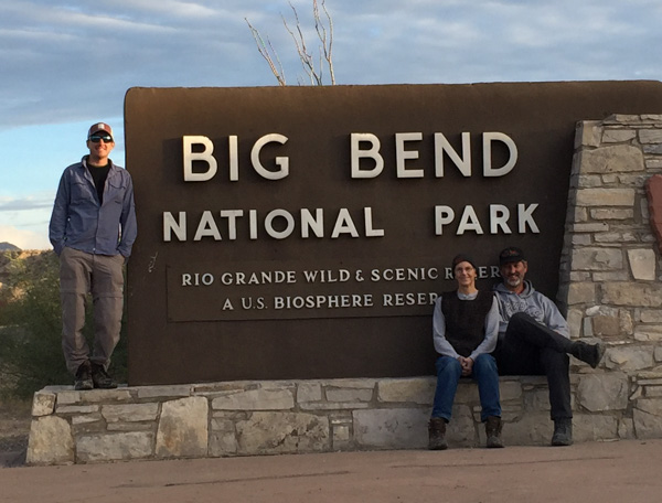 ...so we ended our day at Big Bend and drove on to finding somewhere else to camp for the Next Adventure.
 Sunrise from the campsite in the morning. I wouldn't have seen that from a motel room.
 We spent the night in the back of the truck. Notice Matt's cot and sleeping bag. Fortunately no one was bothered by bears.
 ...although we saw this sign at the trailhead right near our camp.
 We left camp early and went for a hike up the Lost Mine Trail. I was glad that I had a walking stick with me because much of the trail was icy and slippery.
 This is the view to the south from where we were standing in the last photo. The southern border of the park is the Rio Grande but I'm not sure which of these mountain ridges border the river.
 We had only a day and a half to spend in this area so we didn't plan to do any long hikes, but instead see as much of the Park as we could and get out where there were signs and shorter trails.
 This stop was at the Sam Nail Ranch where there is a short trail to the remnants of an adobe dwelling built around 1909 when the Nail family lived here.
 The family planted fruit trees and raised livestock, living here until the 1940's.


 "Matt, hold still."
 View from Sotol Vista. Do you see that slot in the middle ridge, just left of the photo's center? That is Santa Elena Canyon, about 12 miles southwest of this point, where the Rio Grande slices through the mountain, forming a narrow canyon with 1500' walls. That will be for the next post.
 The Mule Ears View Point was the next stop.
 I didn't identify all the different kinds of cactus, but noticed some that were distinctly purple.
 We walked into Tuff Canyon, so named for it's volcanic origins.
 Spectacular!

 There were a lot of interpretive signs at this point. Castolon was first settled in 1901 and became a destination for refugees fleeing the Mexican Revolution. Barracks were built but never used by the army and in the 1920's the La Harmonia Company established a trading post and started growing and ginning cotton. That venture ended in the 1940's.
 This is the modern day view of that same landscape.
 One of the old building that still remains at Castolon.
 I think this statement is true.
 We stopped at the Dorgan House Trail, where there were more ruins.
 It felt like lunch time. Dan couldn't fit all the way in where he had stashed the box with my granola. Eventually I squeezed in there and he pulled me out by my feet because I was laughing too hard to get out myself.
 On the fifth day of our visit we took a field trip to Cabella's. There is plenty of entertainment even if you don't go for the shopping. We started with the aquarium.
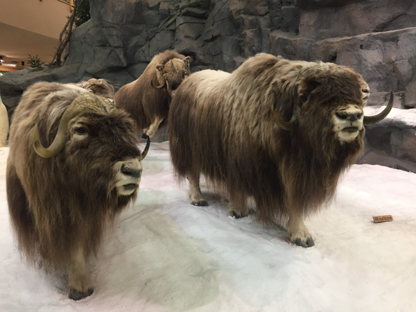 There are rooms full of animals.
 There are spectacular horns on these and other sheep. By the time we finished eating and shopping it was getting dark and we headed to Wimberly for the Trail of Lights.
 Dozens of local businesses and families light and decorate the gardens of the 12-acre EmilyAnn Theater & Garden. This is an annual event and a major fundraiser for the theater.
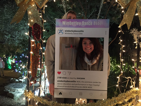
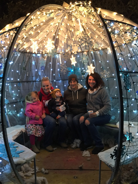

 Containing him worked a little better.
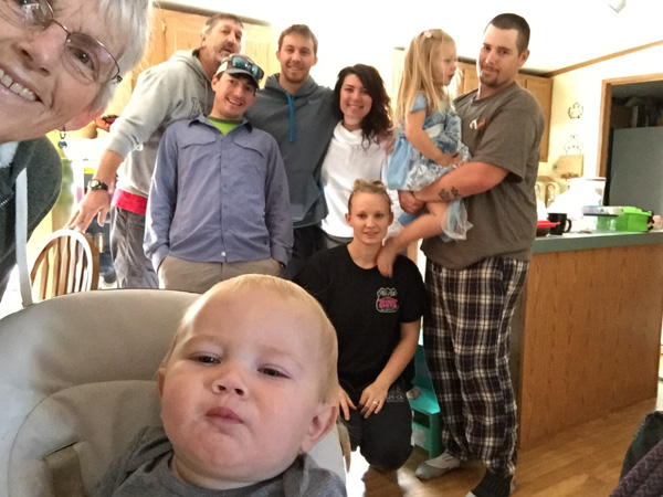 We had the truck loaded and I
 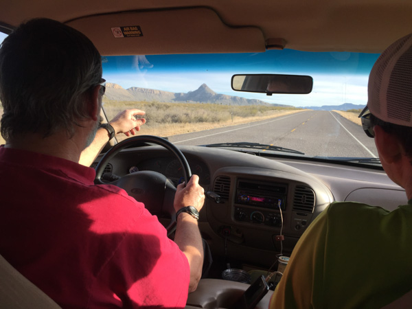 About 10 am. Dan and Matt and I got in the truck and headed for Big Bend National Park, about seven hours away.
 Here the Chisos Mountains rise out of the desert. The park entrance is at an elevation of 2848' and the peaks rise to over 7800'. Our camp the first night was at 5400' which meant that there was still snow from the storm which had come through.
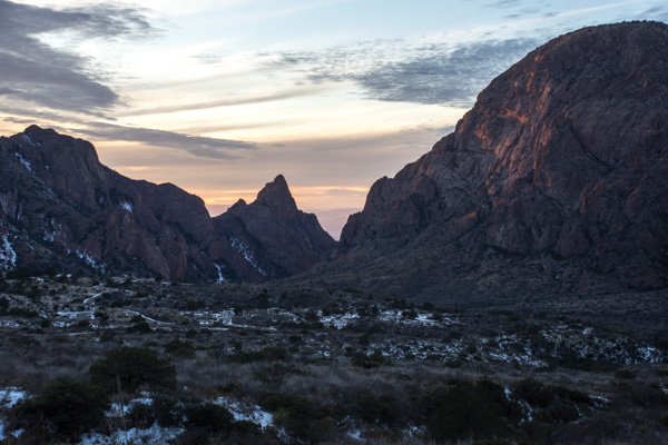 We got there towards dusk and found a campsite just as it was getting dark.
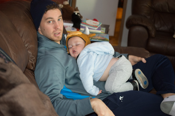 Kasen slept while...
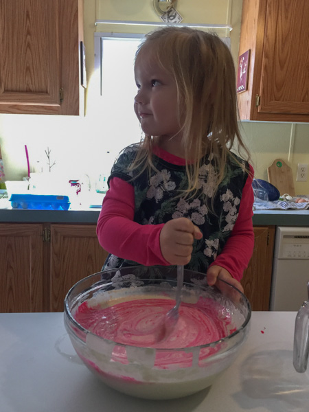 Kirby helped make pink pancakes.
 Then the big kids went for a run. Two of them tried the baby jogger but that wasn't going to work. Instead they took the real kids in the jogger.
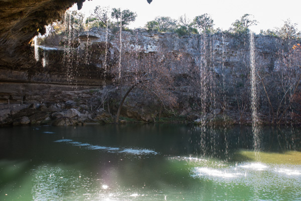
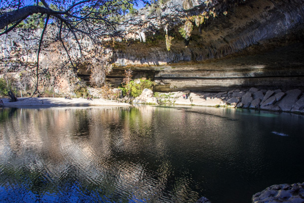 The trail continues around the pool behind those rocks.
 Public access is restricted by use permit from June through September.
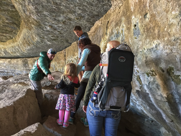 I can imagine what a popular site this would be in the summer and being only about 20 miles from Austin.
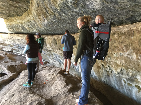
 This is the view looking out over the pool.
 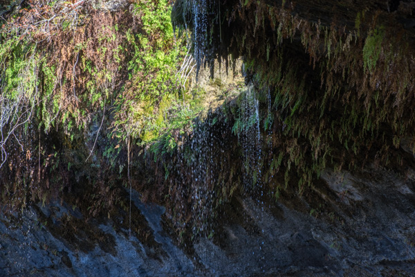 Water drips from the ledge above.
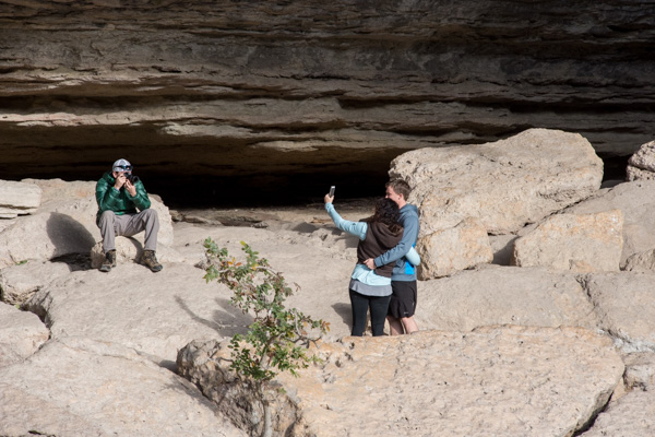
 Someone didn't read the sign.
 I remember well that as nice as it is to get out and see beautiful country it's not exactly relaxing when you are keeping track of a toddler.
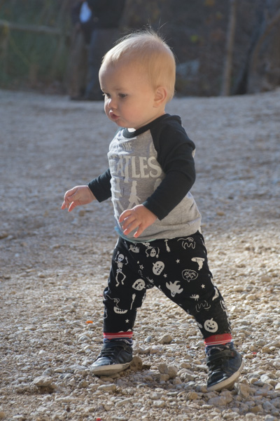
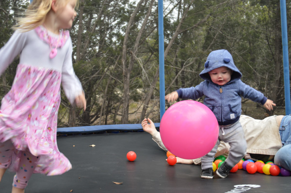
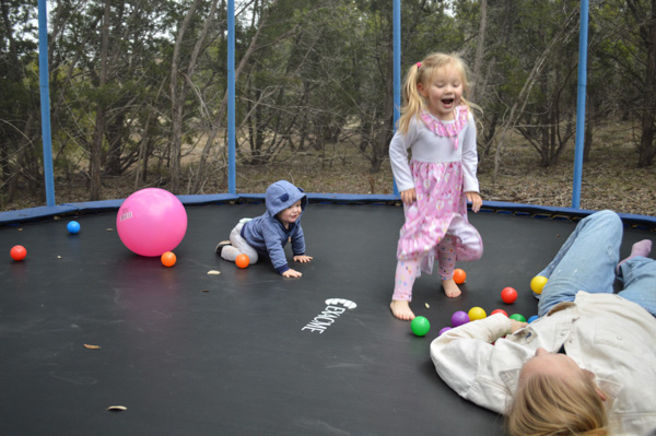
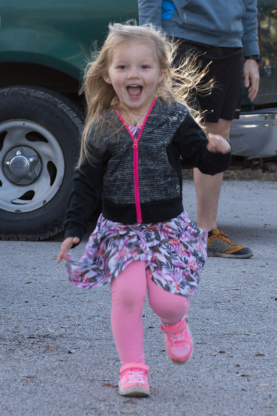 When we got back to the parking lot they both still had plenty of energy to burn off.
 Back home having dinner.
 The view from the back walkway.
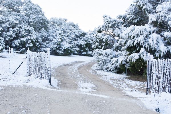 There is the decorated tree just inside the gate on the right.
 Everyone else was still in bed but I went for a walk up the road as the sun was coming over the hills.
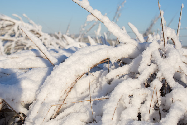
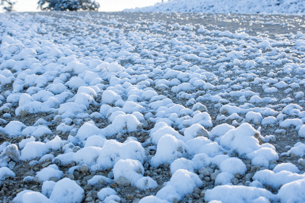
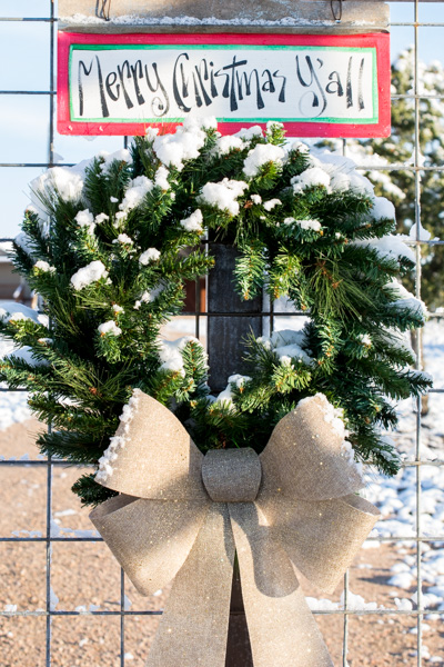
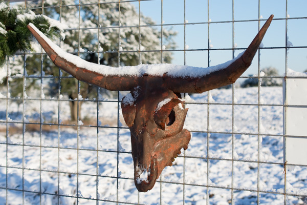

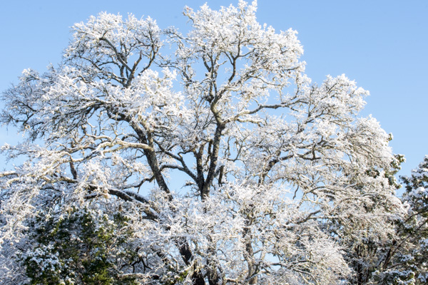
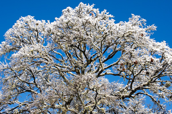
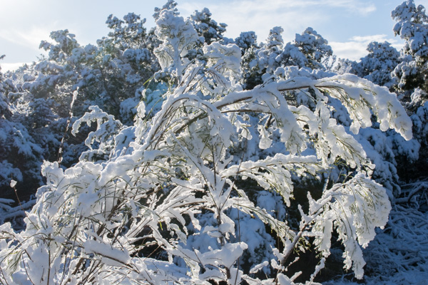
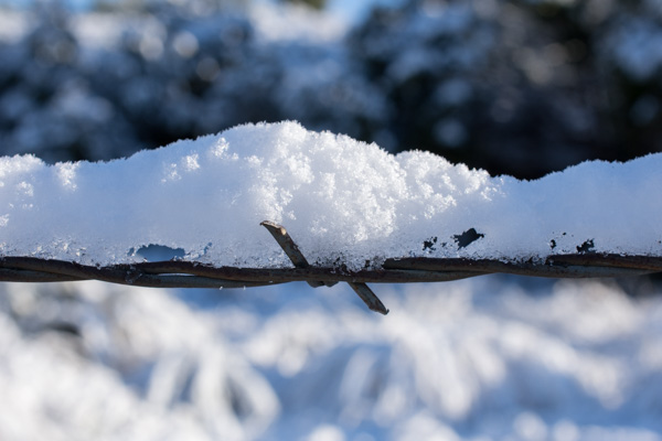
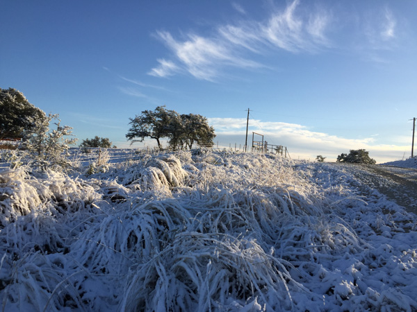
 I got back to the house and checked inside the truck. Dan had chosen to drive to Texas instead of flying. He says, now that he has retired, "everyday is Saturday" and he preferred to throw a road trip into the plans. He had left five days before I did and spent time hiking and camping along the way. He met me at the airport in Austin on Tuesday. Now that all the kids were at the house we had to spread out with sleeping arrangements and he decided to continue with the camping mode and sleep in the truck.
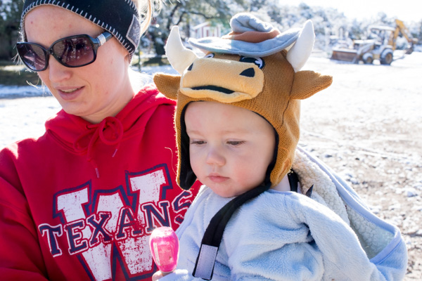
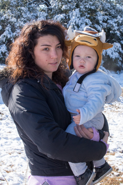
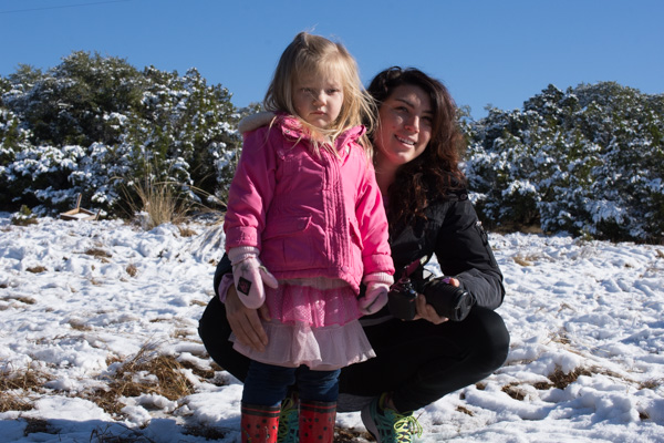
 Eventually everyone else came out into the snow.
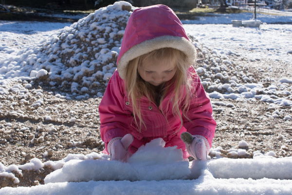 Kirby started a snowman with the help of...
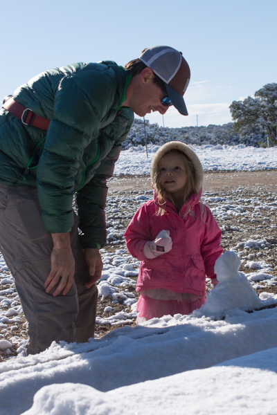 ...Uncle Matt...
 ...and Aunt Meryl.

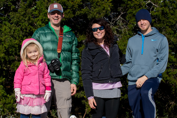 I love these kids.
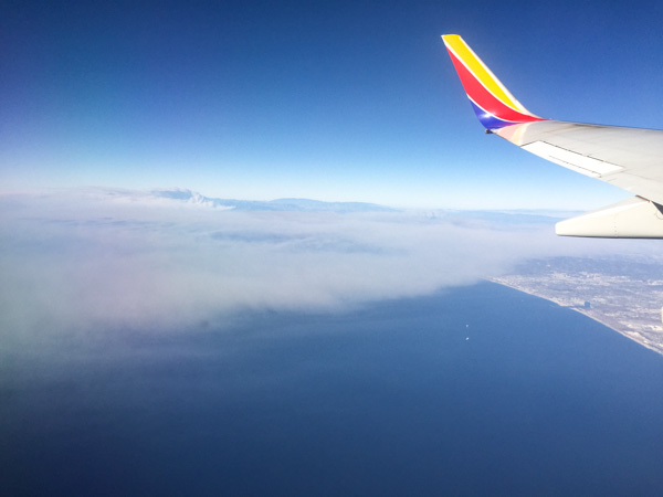 We changed planes in L.A. Wildfires had started burning a few days before this trip and this is a view of the smoke from two fires blowing out over the ocean. We soon left that behind but even now there are fires raging in S. California. December! Here in N. CA we've had one good rain in November and nothing since. But that's a topic for another post.
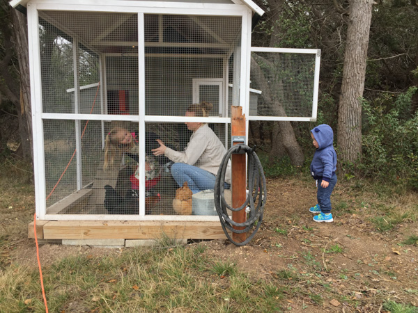
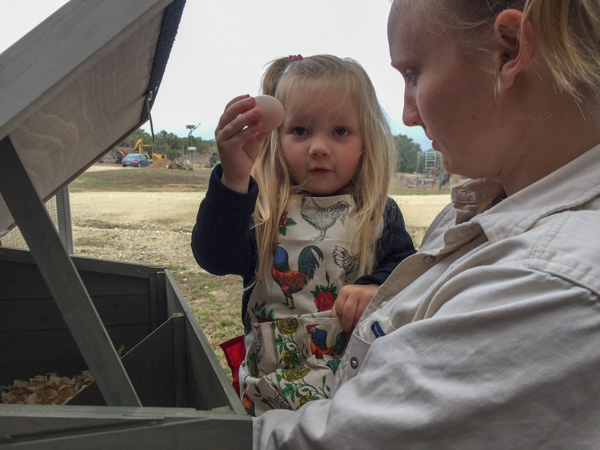
 I got there Tuesday night. Kirby and I went out the next morning. She showed me her chickens and we collected eggs.
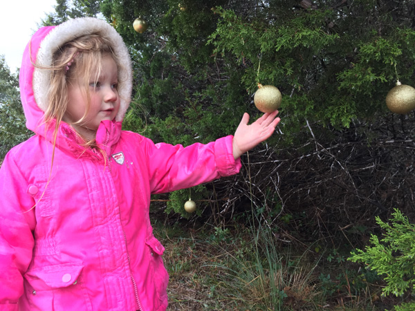 She showed me the tree near the front gate that she and her mom had decorated.
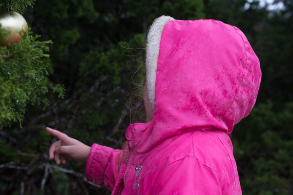

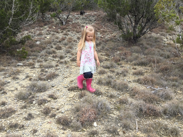
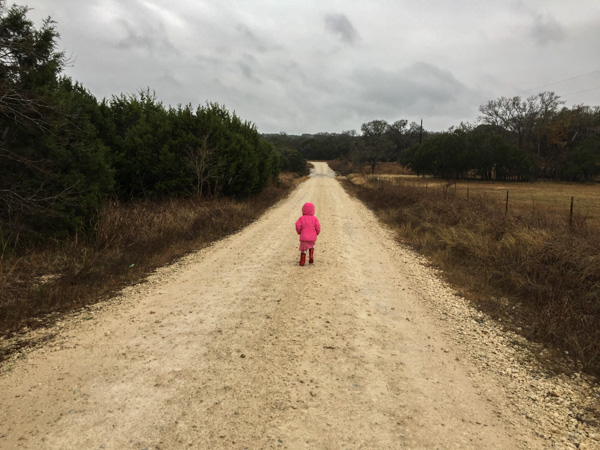 We walked down the road...
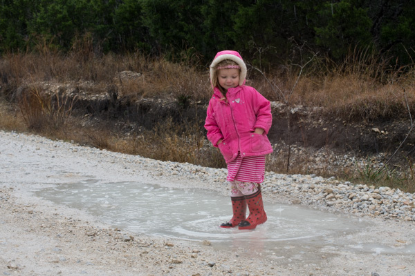 ...and I didn't know until this point that her ladybug boots have holes in them.
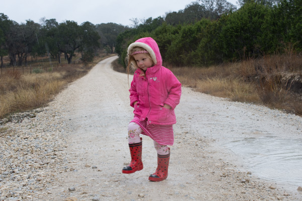 I have been told that Santa is taking care of that.
 We looked at decorations on other properties.
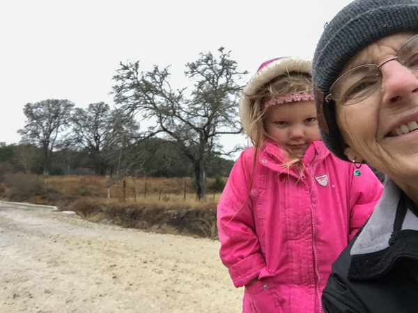 Eventually Kirby got tired of being the subject of photos.
 A picnic lunch after the walk.
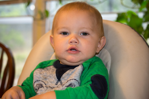 We have another cutie in Texas as well.
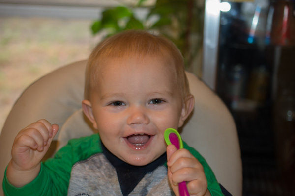 I spent last Christmas there when he was only a few days old.
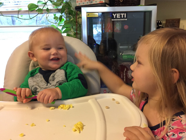 Brother and sister get along well.
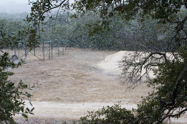 Thursday afternoon it began to snow.
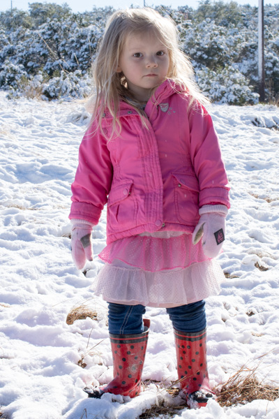
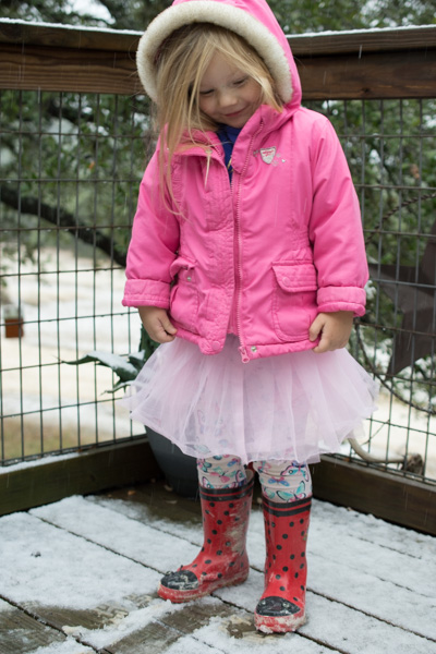 Kirby spent some time outside before it got dark.
