Maryland 2018 - Day 5, The End
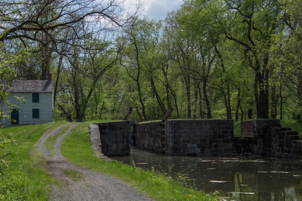
/I have ended up with a third post to finish out this day (and the Maryland trip). After visiting the beautiful old houses in Cumberland (this post) I went in search of more of the C & O Canal and planned to do some hiking before getting back to the motel in Frederick.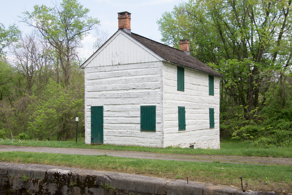 I shared photos of other parts of the canal in this post and the first post about this Maryland trip. This is the lockhouse at Lock 75, the westernmost lock on the C & O Canal.
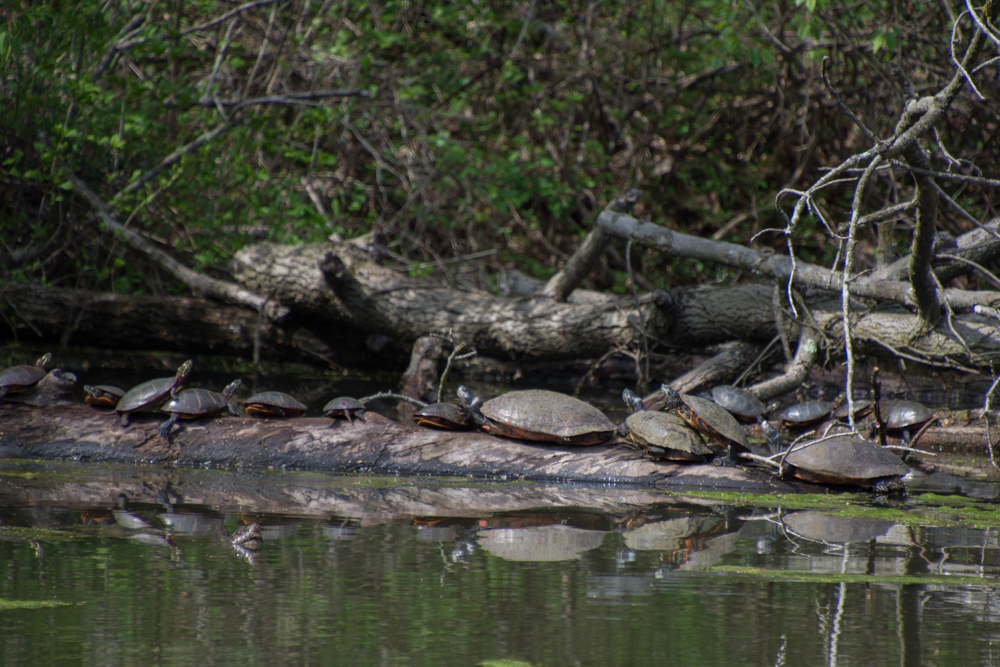 Turtles sunning themselves in the canal near Lock 75.
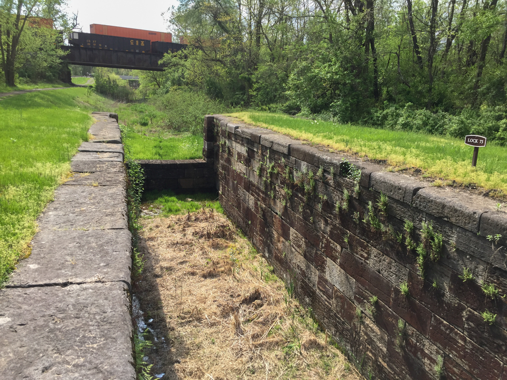 I drove along some of the roads in this area looking for more places to explore and found Locks 73 and 74.
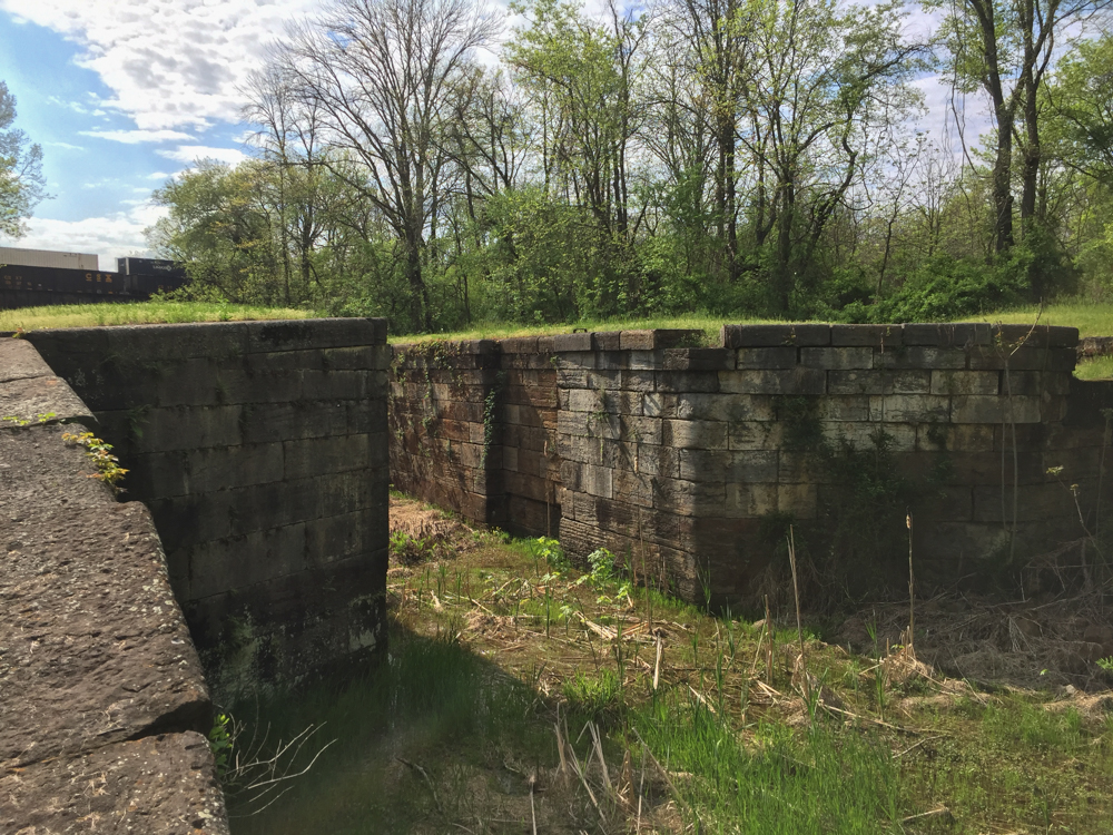 Notice the railroad over the canal in the previous two photos. The railroad and the canal were competitors for business during the era of the canal. Repeated flooding and competition from the railroad were the reasons for the demise of the canal system in 1924.
 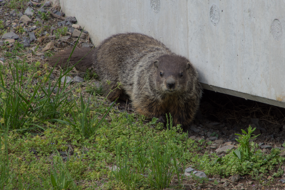 I saw a flash of this animal as he ran under the bridge. This is the first groundhog that I've seen.
I drove on and came to a sign for the Pawpaw Tunnel. From Wikipedia: "The Paw Paw Tunnel is a 3,118-foot-long canal tunnel on the Chesapeake and Ohio Canal in Allegany County, Maryland. Located near Paw Paw, West Virginia, it was built to bypass the Paw Paw Bends, a six-mile stretch of the Potomac Rier containing five horseshoe-shaped bends. The town, the bends, and the tunnel take their name from the pawpaw trees that grow prolifically along nearby ridges...Built using more than sixteen million bricks, the tunnel has been described as the greatest engineering marvel along he C & O Canal national Historical Park." 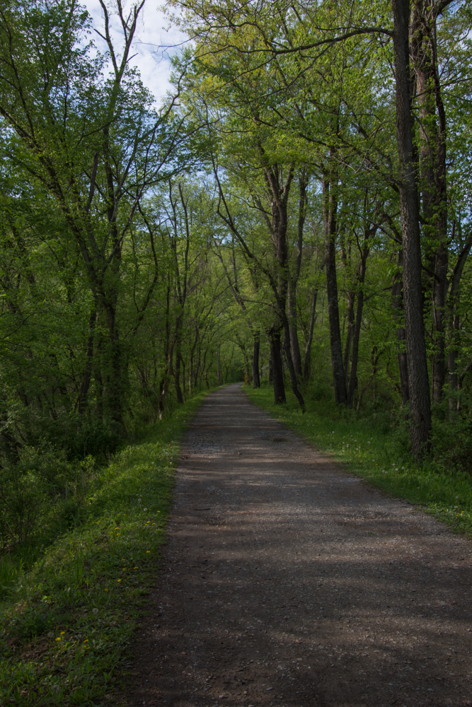 I had read on line that the tunnel was closed but thought that I'd be able to see the canal and walk along the towpath. This photo seems typical of much of the length of the towpath--a beautiful hardwood forest and a broad path to walk. One thing that I noticed everywhere was the number of birds. I didn't see all of them--but there was quite a chorus in the woods.
 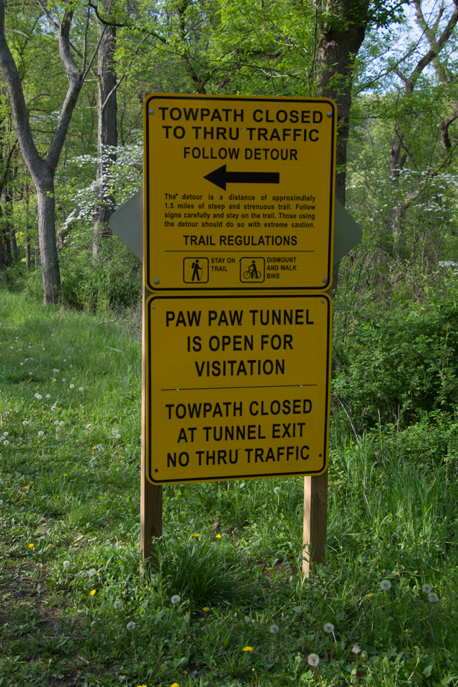 So I got to this sign and decided to take the detour.
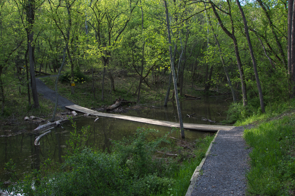 Wooden planks crossed the canal.
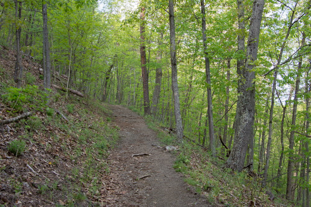 The trail wound up into the woods.
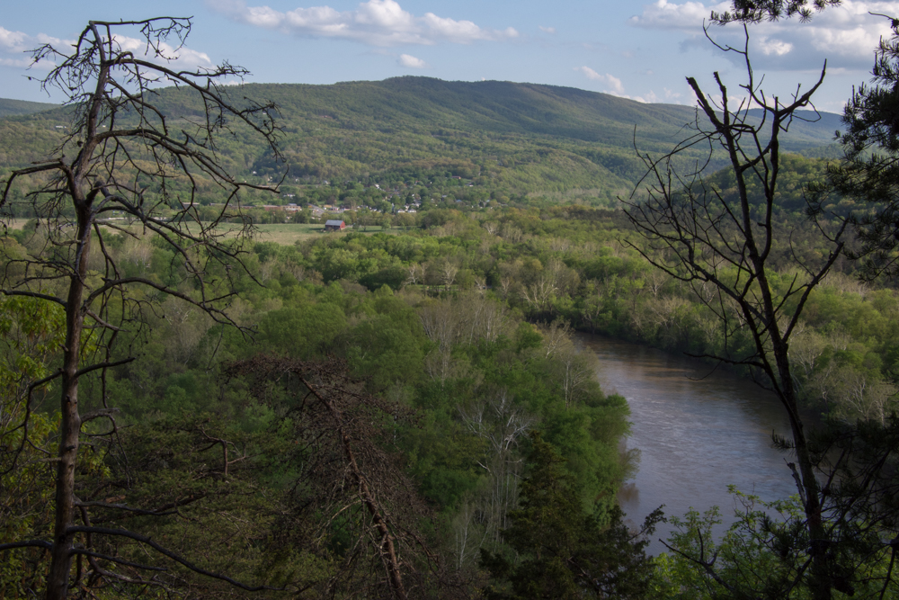 This overlooks the town of Paw Paw, West Virginia.
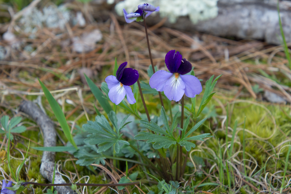 Viola pedata, Birdsfoot Violet.
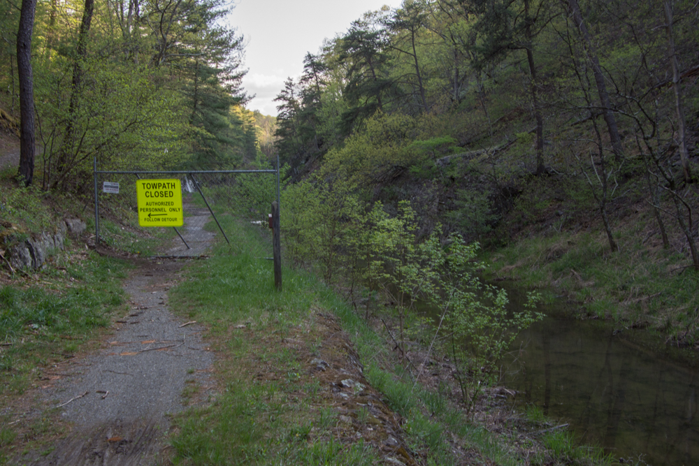 After hiking what seemed quite far into the woods I came back down to the canal and the towpath and saw this sign. From the looks of the terrain I assumed that is where the tunnel is even though the first sign had said it was open.
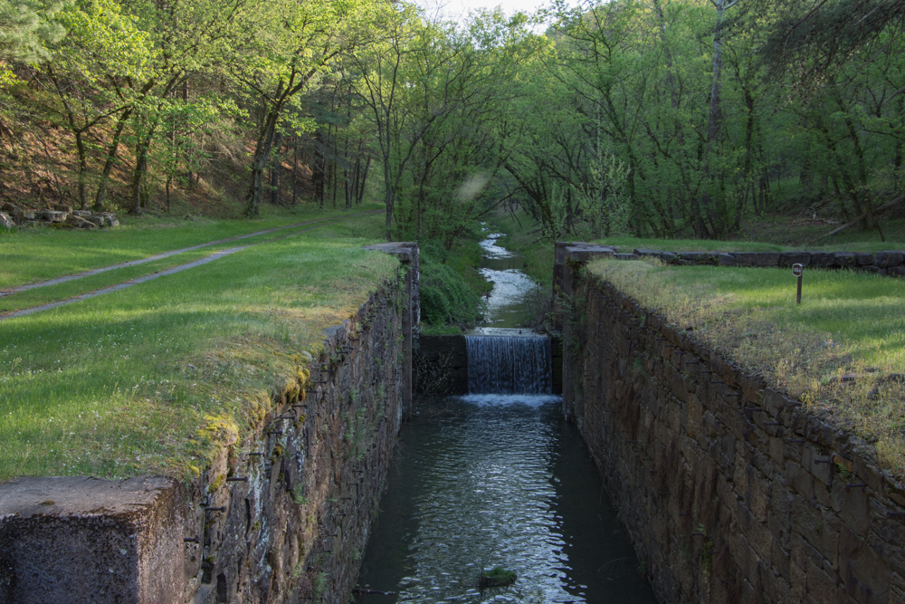 I walked the other direction, and saw this lock. The path continued around a bend.
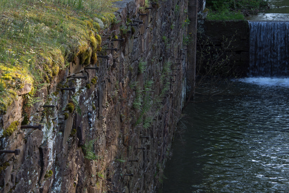 This was confusing. I assumed that there was a reason to make a detour and wasn't sure if I continued to walk along here (towards where the detour sign had been) that I wouldn't come to an impassable spot. Why else would there have been that sign? Or was I completely turned around? It was getting late in the day and my mind started to play tricks. Are there bears in these woods? I'm all by myself and no one knows where I am or will know if I don't return. My phone battery is almost dead. There was no cell service, but I wouldn't even have a flashlight.
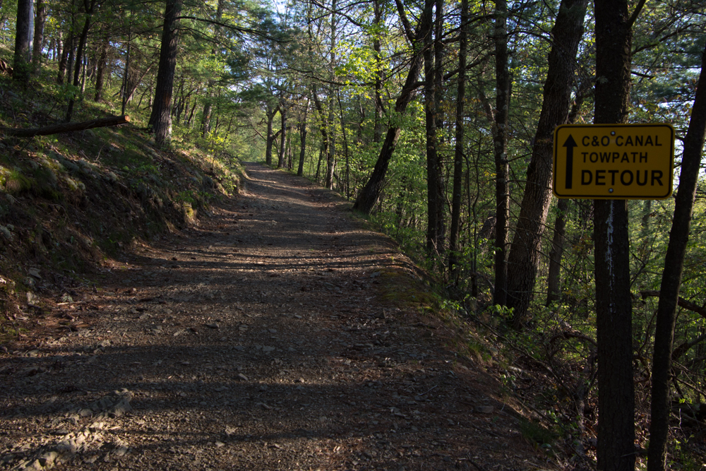 So I decided to turn around and go back the way I had come.
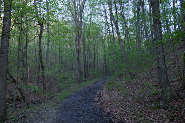
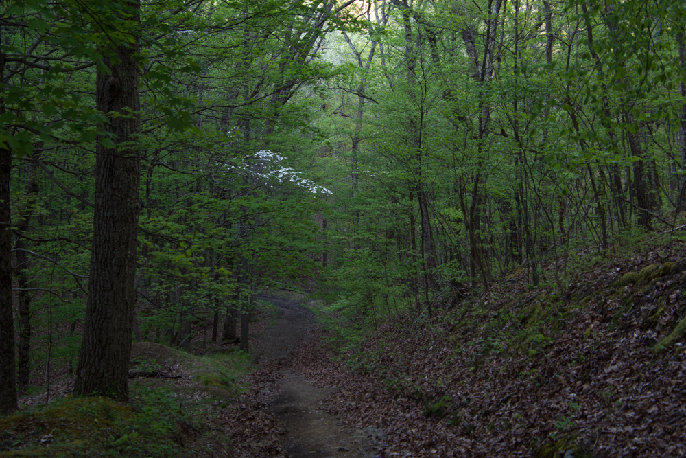
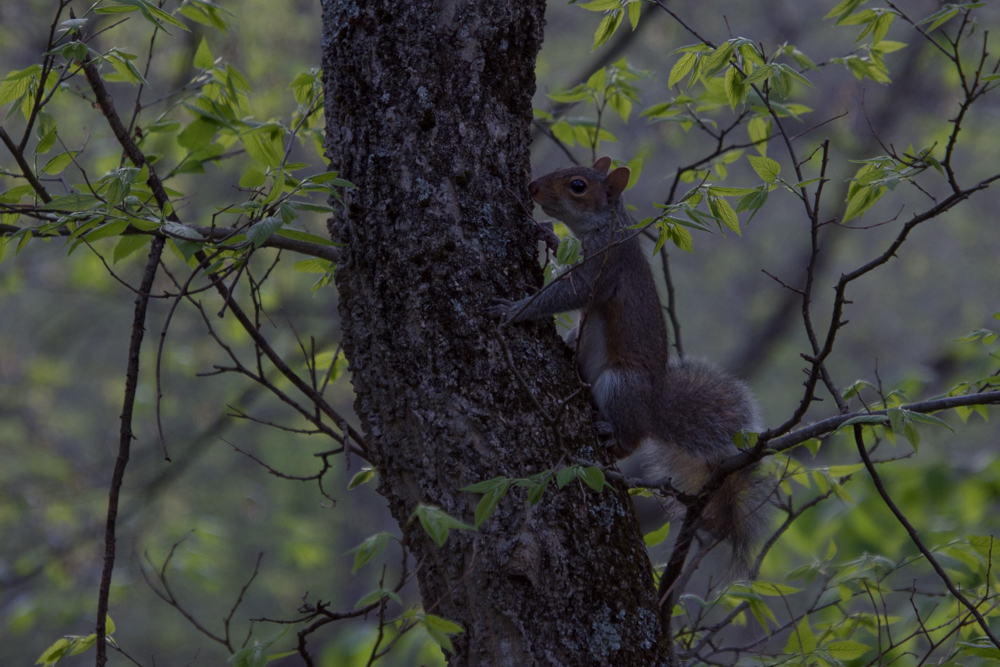 No bears, but there were a lot of squirrels.
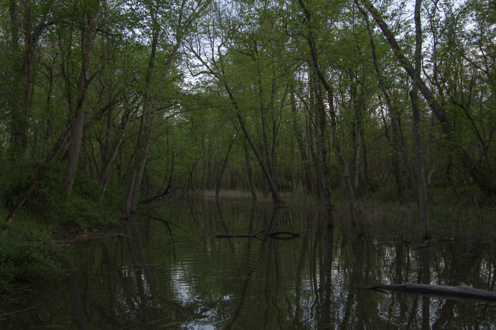 Crossing the canal.
I was disappointed to not find the tunnel, but this was a beautiful place to hike and a good end to the day. I drove the beautiful Country Roads of West Virginia (I want to break into song here) back to the freeway. 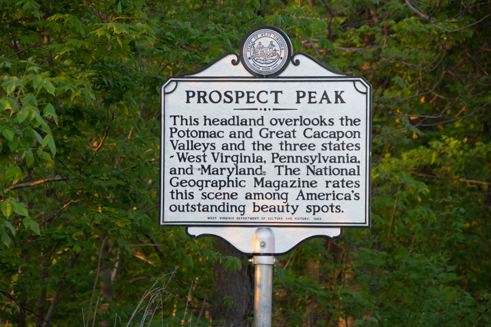 I hit this point at dusk.
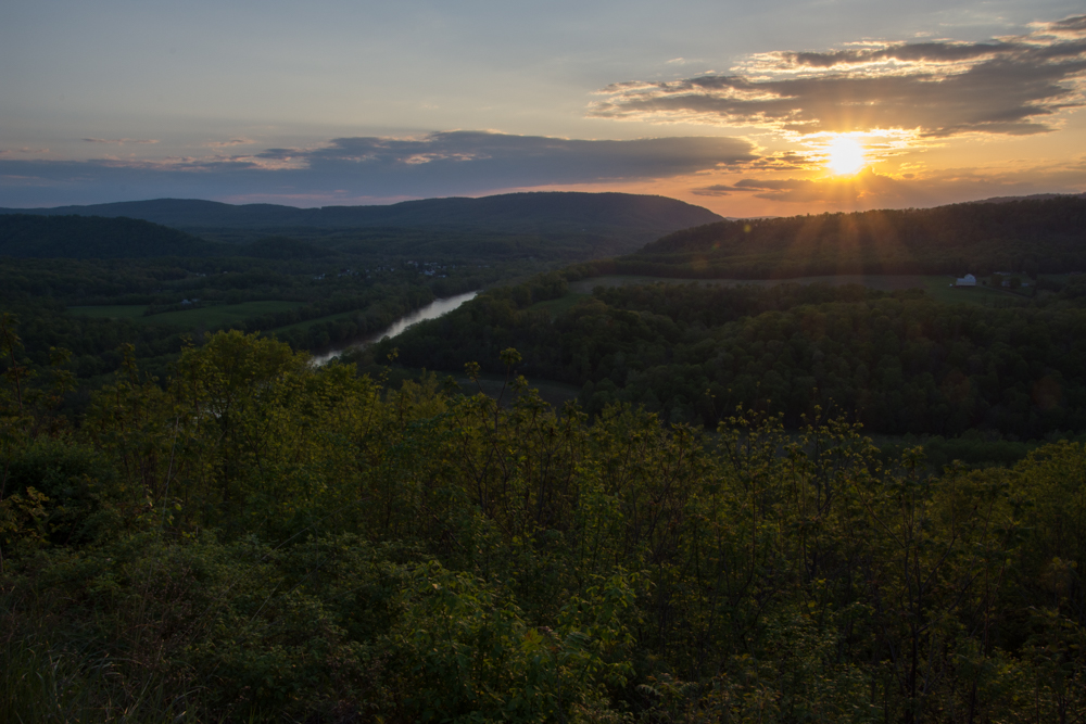 It was dark by the time I got to the freeway and I got back to Frederick at about 9:30 after a long day. That was it. I flew home the next day.

