Hiking at Stebbins Cold Canyon
/Stebbins Cold Canyon Reserve is managed by the University of California. The website says: "The UC Davis Stebbins Cold Canyon Reserve is set in a steep inland canyon of the California Coast Range. Extreme topography gives the reserve a mix of habitats, high species diversity, and beautiful views. An intense wildfire burned the entire reserve in summer of 2015; University of California researchers are studying the recovery in the area."
The canyon is only about 25 minutes away and we try to go hiking there a couple times a year. Here are photos of a hike there during the spring when everything is green. This time of year it is dry and hot. In fact whoever is in charge is doing their best to warn us away from this hike.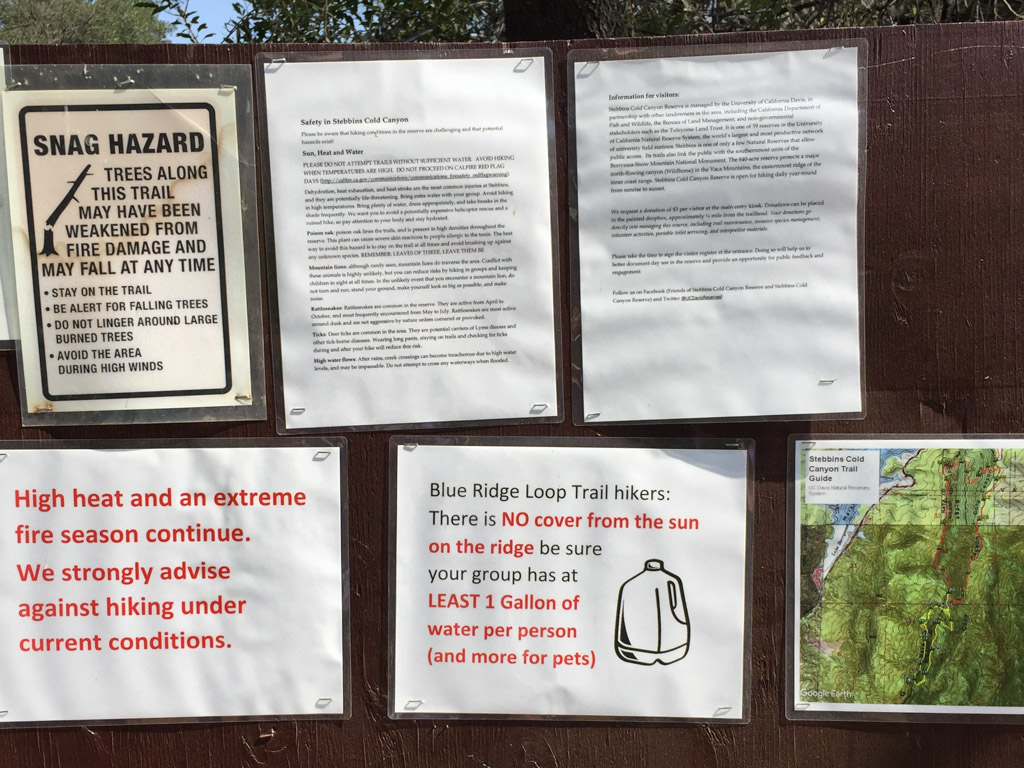 Falling trees, high heat, fires, snakes, poison oak, ticks, mountain lions, high water (that would be a different season). Maybe we should just go back home to the couch.
 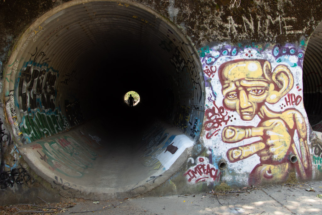 After the 2015 fire the area was rebuilt to accommodate needed parking. Now we park below the Reserve instead of on the side of the road and walk under the road through these huge culverts. This is also where storm water will go in the winter. What's with the graffiti? I am not a fan.
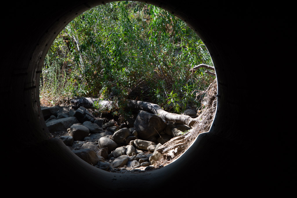 Leaving the culvert.
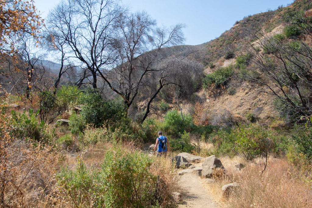
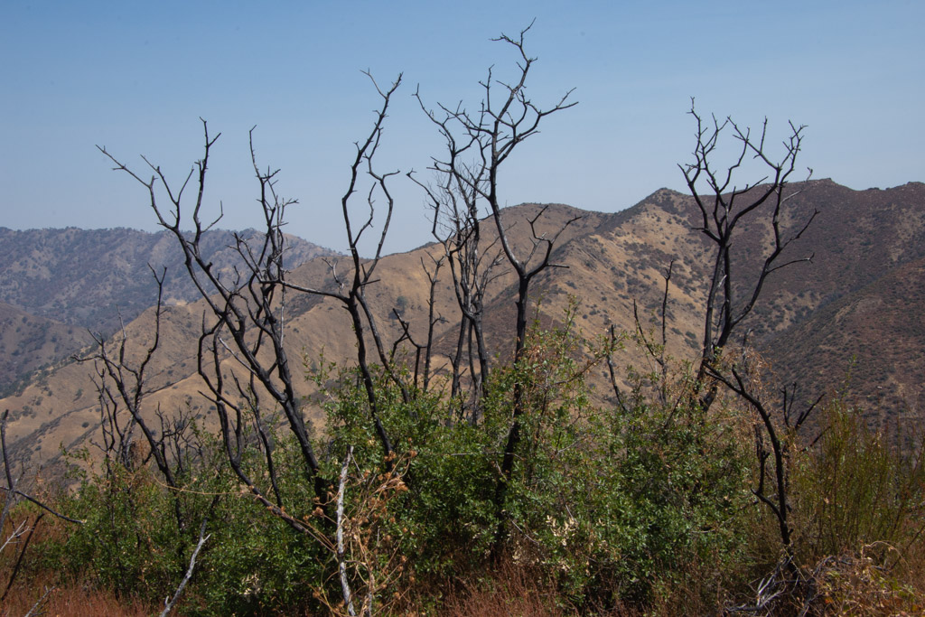
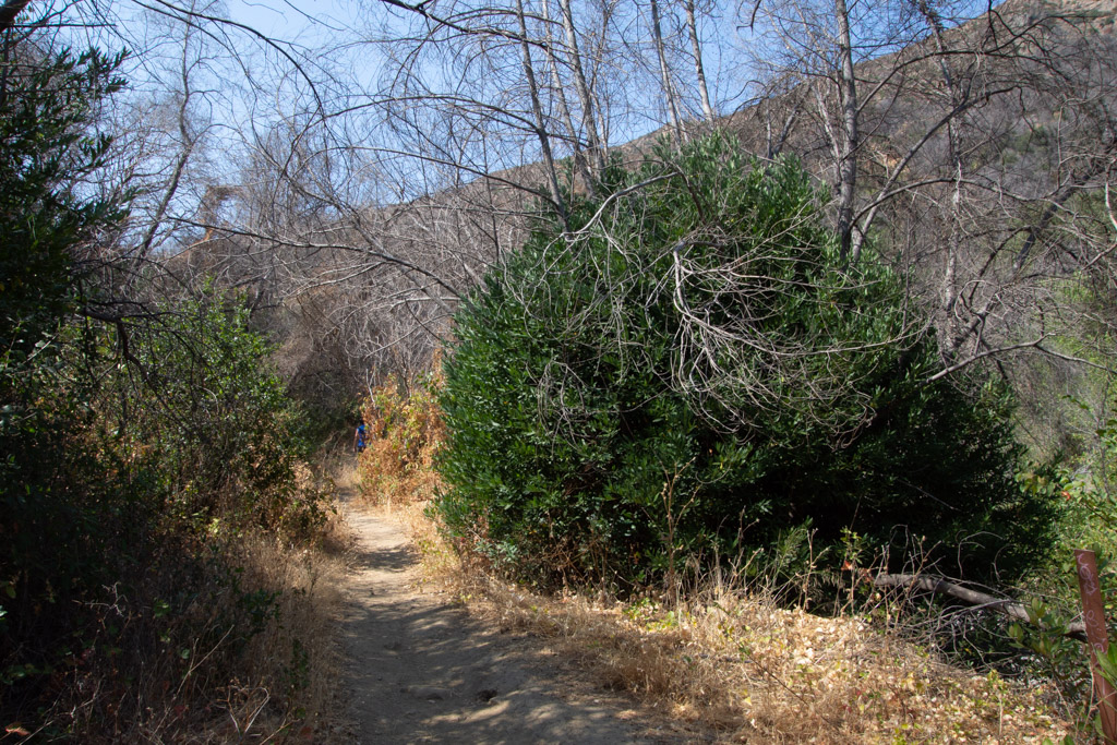 We headed out on the Blue Ridge trail, a five mile round trip. This is three years after the fire. That bush on the right is a CA Bay Laurel growing from the base of the burned tree (it can take on the form of a bush or tree).
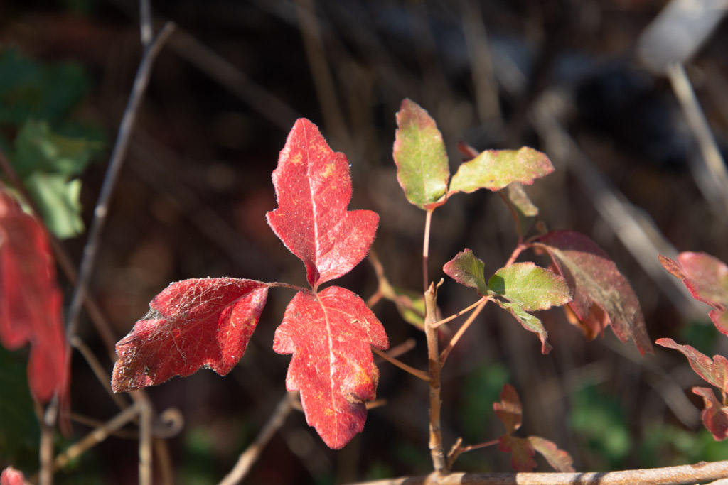 Our first hazard, poison oak.
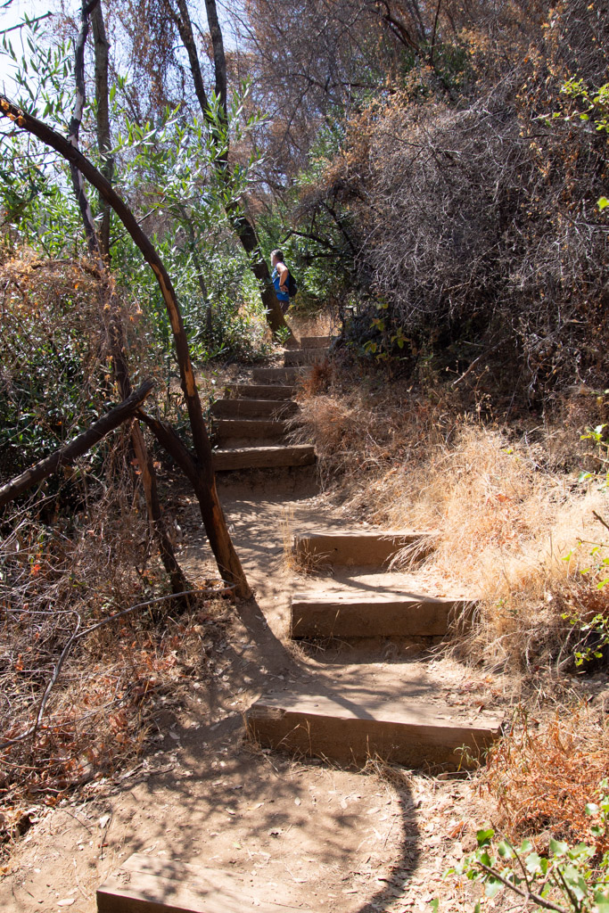 Maybe the next time I go hiking here I'll count the steps. The trail starts in the canyon and eventually you have to get to the top of the ridge. There may be a million stairs--at least it seems that way when you are half way up.
  Taking scenic photos is a good excuse to stop. This is a panorama looking southeast.
 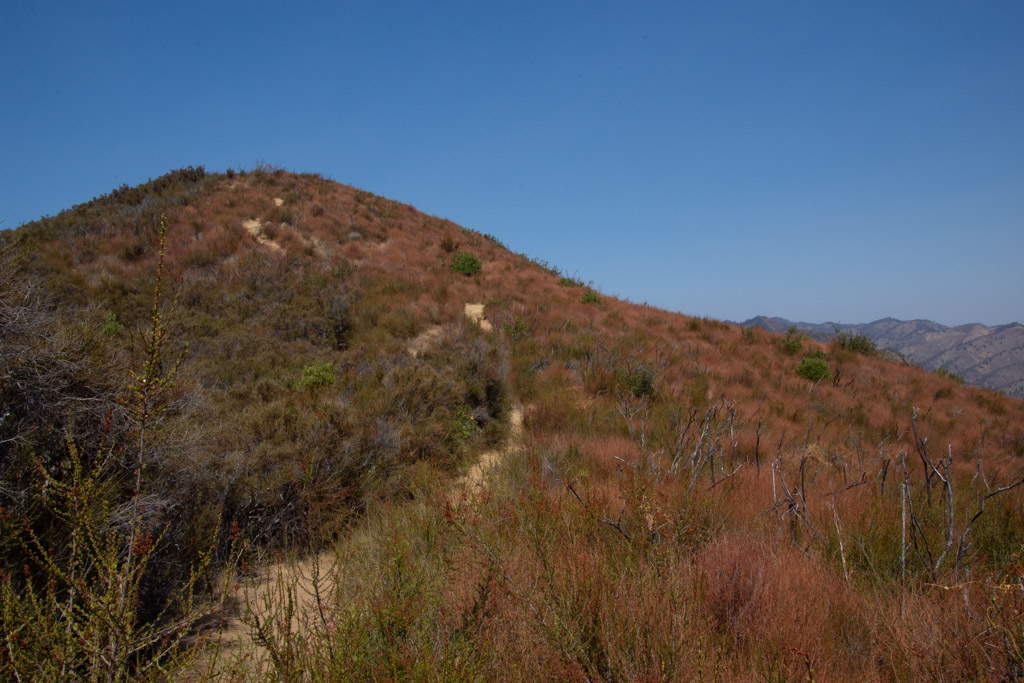 Our trail continued to the ridgeline. This is the bluest sky that I've seen since the fires started in June. We're up above the smoke and haze here.
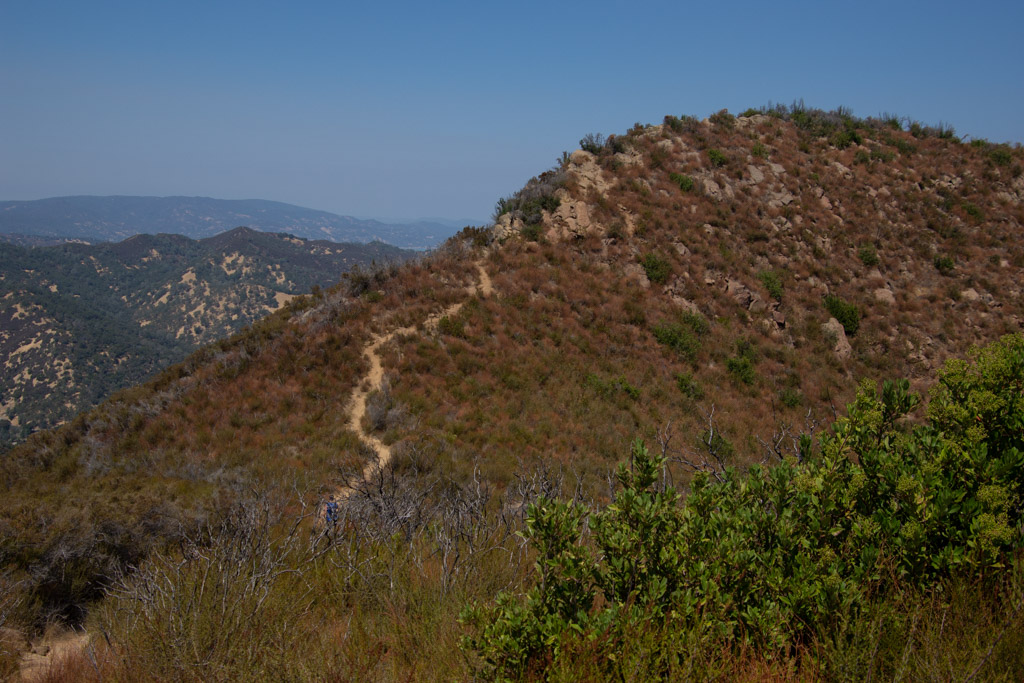
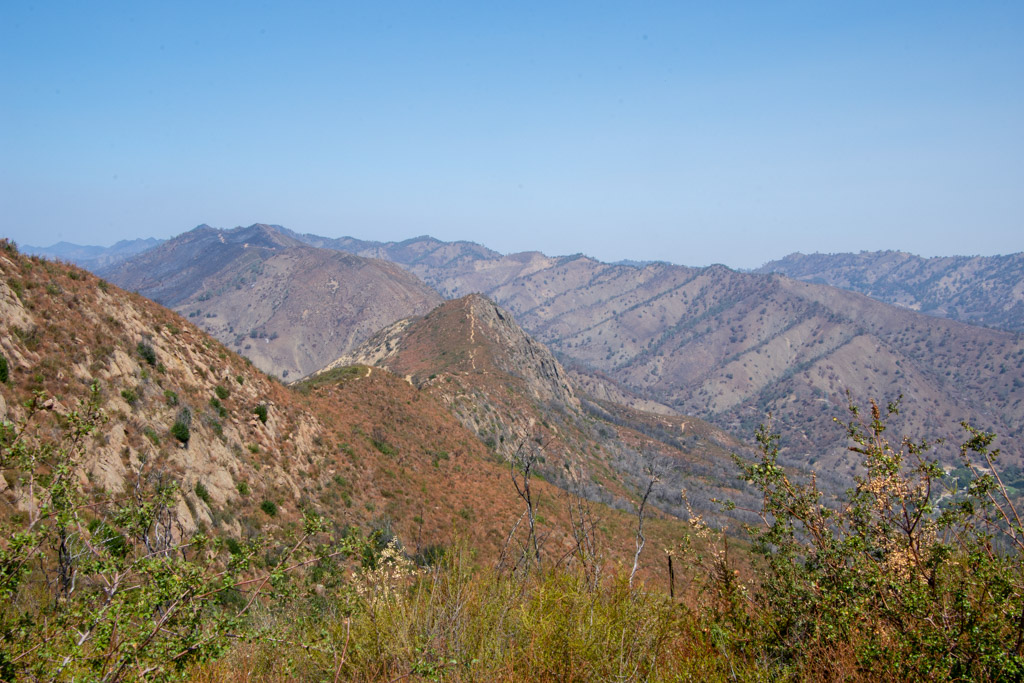 View to the east. That little line on the ridge is our trail.
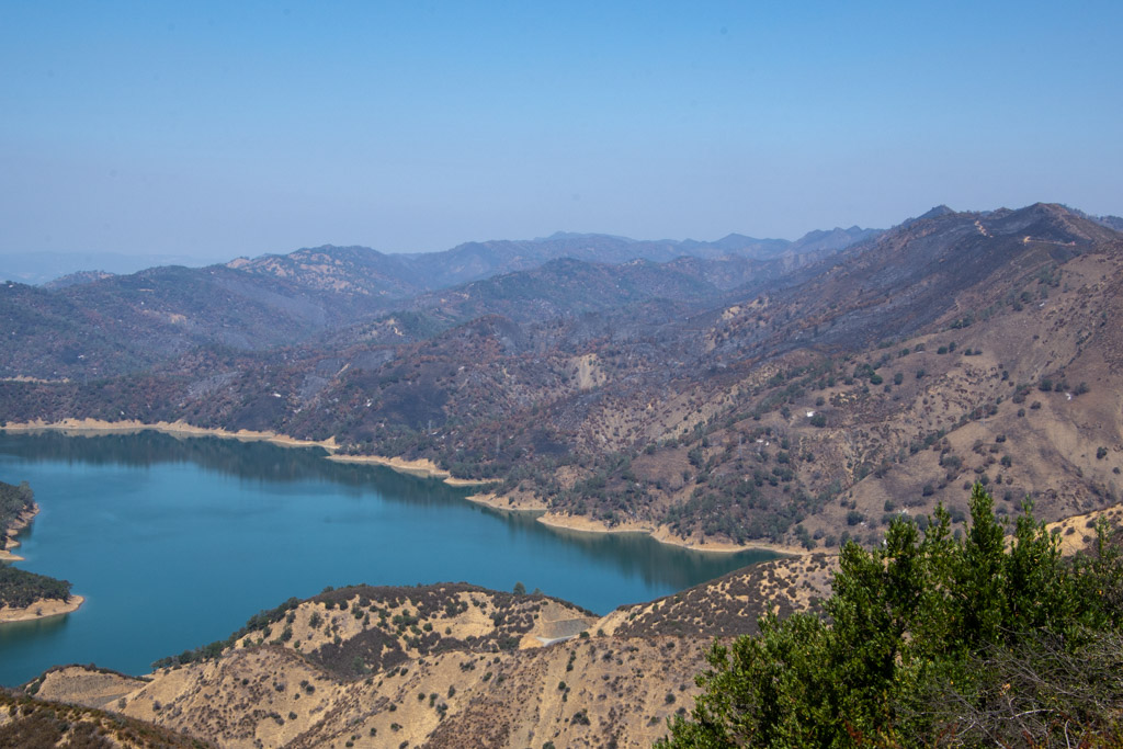 From the top you can look down to Lake Berryessa. Except for the foreground most of the land was burned this summer.
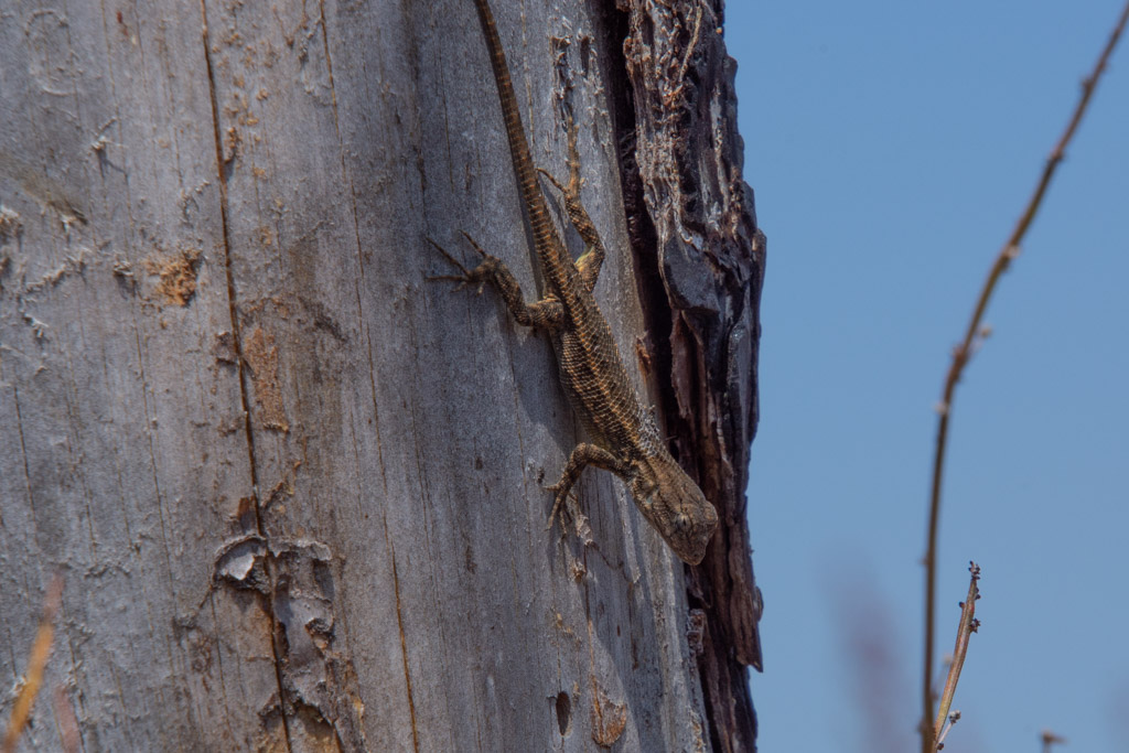
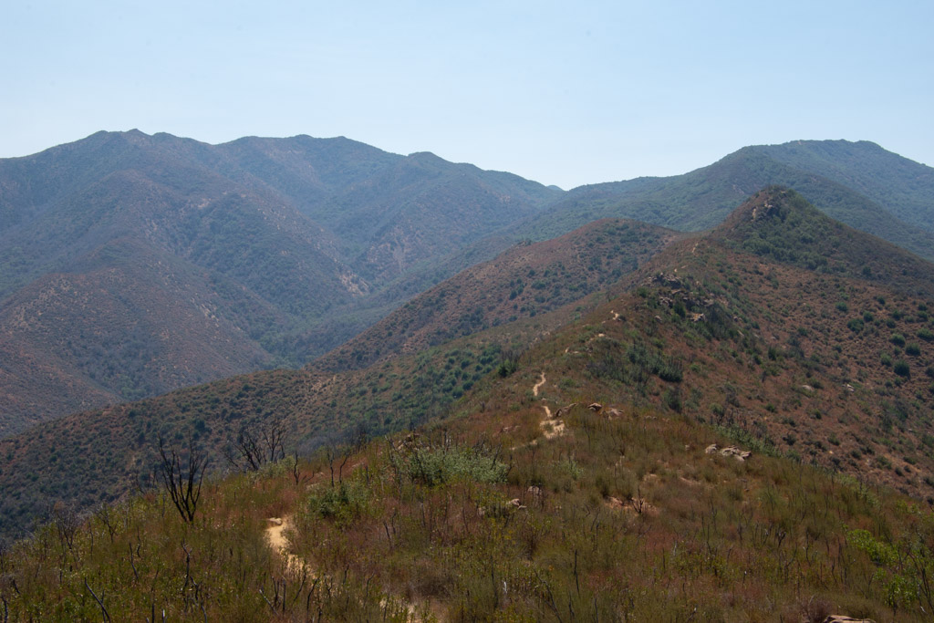 More of the trail. Keep walking.
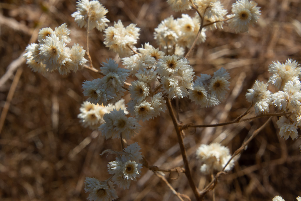 California Cudweed.
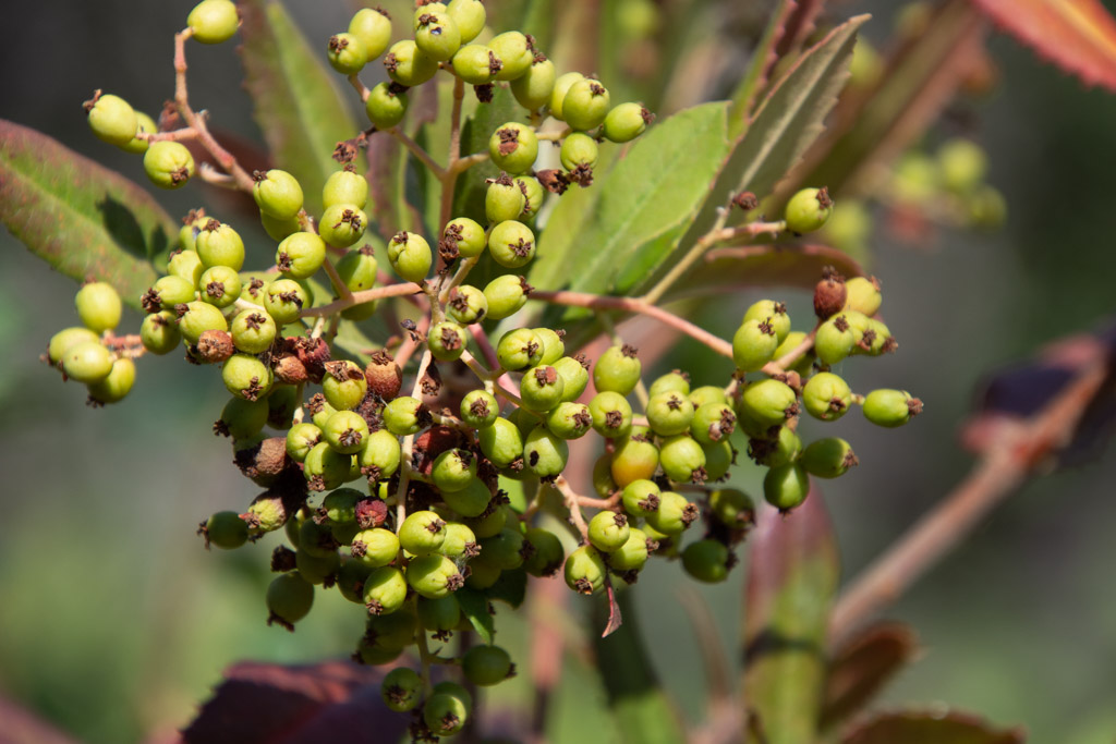 Toyon berries.
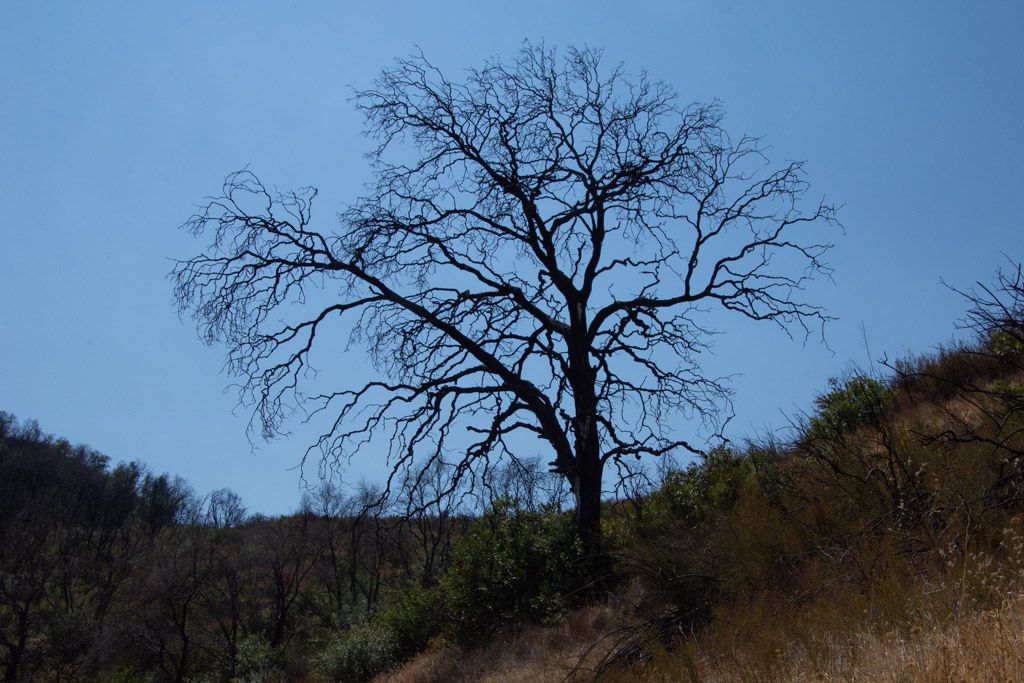 Burned oak.
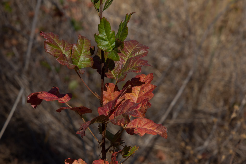 Fall colors (more poison oak).

