Berryessa Snow Mountain NM
We have traveled days to see some of our spectacular National Parks and Monuments, but there are some nearby that don't need as much planning to get to. Now that Dan is retired he has more lots of flexibility and my schedule is the one that we have to work around. Last Tuesday was open. We wanted to see some of the spring wildflowers before they were gone for this year. We drove to one of the nation's newest National Monuments. Berryessa Snow Mountain NM was designated in 2015 (and was on DT's list to cut, but fortunately was spared). This is over 330,000 acres of mostly chaparral and spans a long corridor from Lake Berryessa into the Mendocino National Forest in the mountains west of Willows.
We first planned to drive up Bear Valley just east of the monument, where we'd heard the wildflower show is spectacular, and then find a hiking trail at the northern end. Then Dan suggested we drive north on one of the roads through the monument and come back on Bear Valley Road. So we turned north on an unpaved road, driving toward Indian Valley Reservoir.
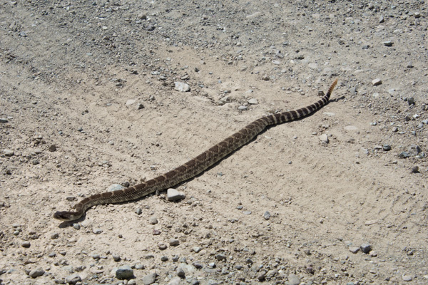
 I stayed in the car to photograph this one.
 After all, he (she?) was conveniently right in the middle of the road.
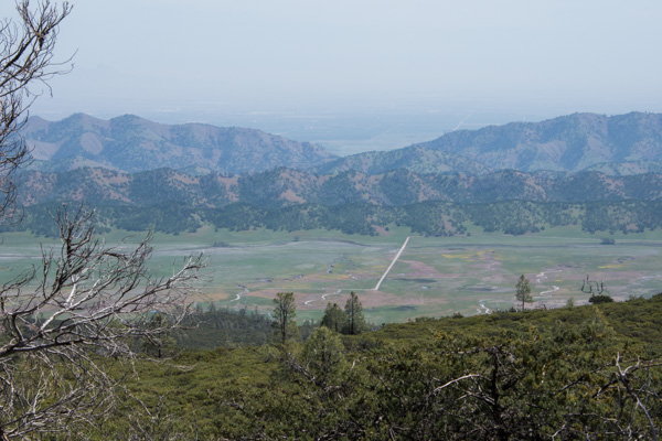 We got several miles in on a ridge line and got out to take in the scenery. The day was sunny, but the haze to the east was typical of summer in the Central Valley. We could just make out the Sutter Buttes in the valley but you can't see them in this photo. This is looking down on the road that we were going to take that goes through Bear Valley. Most of that color is displays of wildflowers.
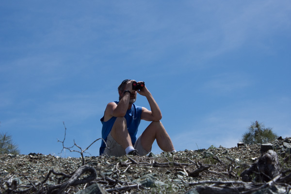
 Looking to the west it was hazy/cloudy. This is Indian Valley Reservoir.
 The place where we stopped was strikingly green.
 From the Davis Enterprise: "Serpentine, scientifically called “serpentinite,” is a rock formed by combining water with rock that originally was part of the Earth’s mantle, the layer beneath the Earth’s crust. Soils formed from serpentinite rocks lack certain elements required by most plants."
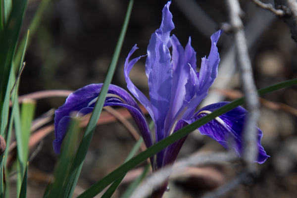
 There are a number of plants that grow only in this ecosystem. I haven't identified this one that hasn't yet opened its flowers. **Now ID'd by friends as Bitter Root, Lewisa rediviva".
 Here is another. **This one just ID'd as True Baby Stars, Leptosiphon bicolor.
 We continued to drive, getting out here and there to take in the scenery.
We did a lot of driving on the rocky somewhat rutted roads. Somehow we missed the road we were looking for to take us to the trails at the north end of the valley. We came to a fork and made the decision to head north. We drove probably a mile on an even more rutted, slower road and then came to a creek crossing with a drop off that I was sure my RAV-4 couldn't make--at least not without knocking off the bumper. And if we found an even worse spot further up I don't think we could have come back up that ledge. So we turned around there and took the better maintained gravel road that ended at Clear Lake. We'd left our house around 9:00 and it was around 4:00 by this time. We hadn't put in that many miles, but lots of hours in the car.
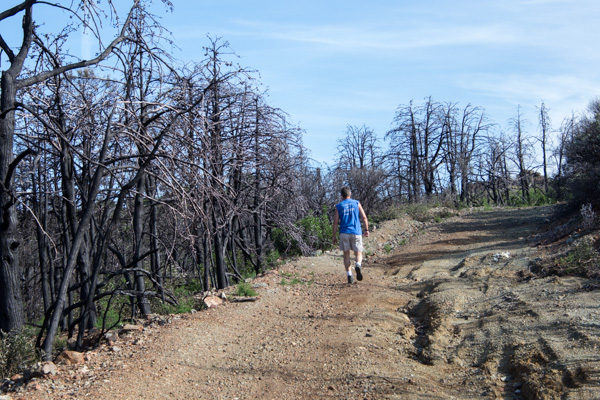
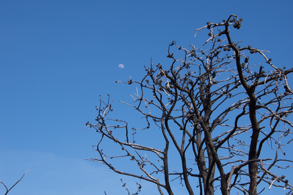
 There was one more trail in the direction home. We stopped at the Knoxville Staging Area which we found out is a staging area for ORVs, and walked for about an hour. This area was ravaged by one of the wildfires a couple of years ago.


 As we walked back towards the car I first heard and then saw this scrub jay.
 It seems that he was hungry.
 It was getting late in the afternoon when we left this area and headed south towards Lake Berryessa.
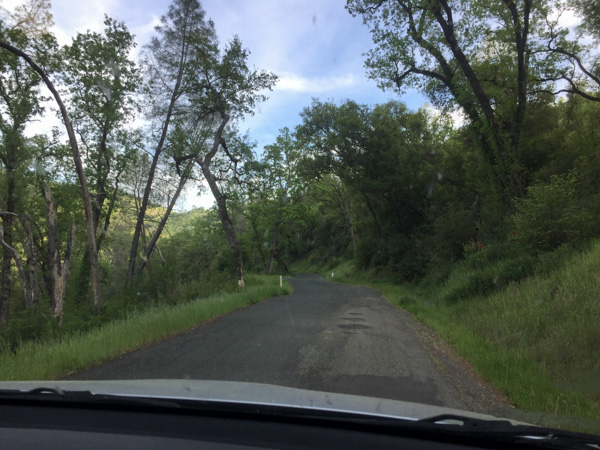 We didn't get out here and I didn't take many photos but this was one of the most beautiful places of the day. The road passes the site of the Homestake Mine.
From the Napa Valley Register : "The history books have it all wrong. For Napa County, the Gold Rush wasn’t in 1849. It happened less than 30 years ago in a remote corner of the county ruled by jackrabbits. From 1985 to 2002, Homestake Mining Co. extracted $1 billion worth of gold from the desolate landscape above Lake Berryessa. For a time, the McLaughlin Mine was the biggest producer in California and one of the largest in the world."
This area is now the Knoxville Wildlife Area owned by the CA Department of Fish and Game. The road follows the creek and the hills are covered with green grass and oak trees. I was in awe of the beauty at this time of year. I still love the hillsides in the summer, but I guess it's been a long time since I've been out in the California hills in the springtime when it is so green.
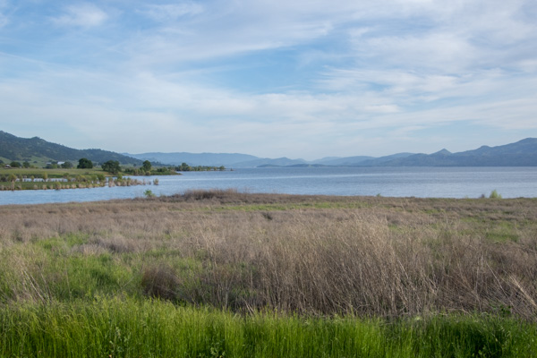 The road took us to the northern end of Lake Berryessa. I'm not a big fan of reservoirs but this time of year with everything so green it looked like a natural lake.
Most of the day was spent driving but what a splendid exposure to a little known region right in my backyard. Next time we'll hit the Bear Valley Road first and then get to those hiking trails.
