Visiting Texas - More of Day 6
There were too many photos from our day spent in Big Bend National Park that I split this into two posts. There is a photo in the middle of the last post (View from Sotol Vista) where I pointed out a slot in the ridge that indicated Santa Elena Canyon along the Rio Grande. The river defines the Park boundary for 118 miles and creates a riparian corridor in an otherwise desert landscape. We were headed to Santa Elena Canyon.  Our first stop at the river was at raft/canoe take-out. Wildlife! I wish this was a sharper photo but I'm going to say that the javelina's coloring makes it look blurry. I just looked up javelina and learned something. Javelinas (collared peccary) are not in the same family as the pig. There are a multitude of physical differences including the type of stomach (complex versus simple), gestation length (5 months versus 3+ months), and structure of the leg and foot.
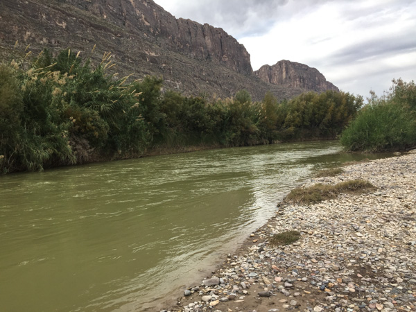 Here is a look at the river. Mexico is on the other side.
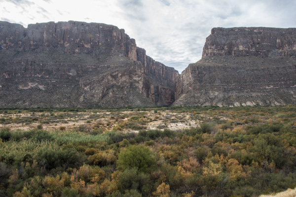 We drove on to find the entrance to Santa Elena Canyon. This is that slot seen from a distance in the previous post. It is hard to imagine from this view what it looks like in that canyon.

 The 3/4 mile trail into the canyon begins with rock stairs built at the lower part of the cliff.
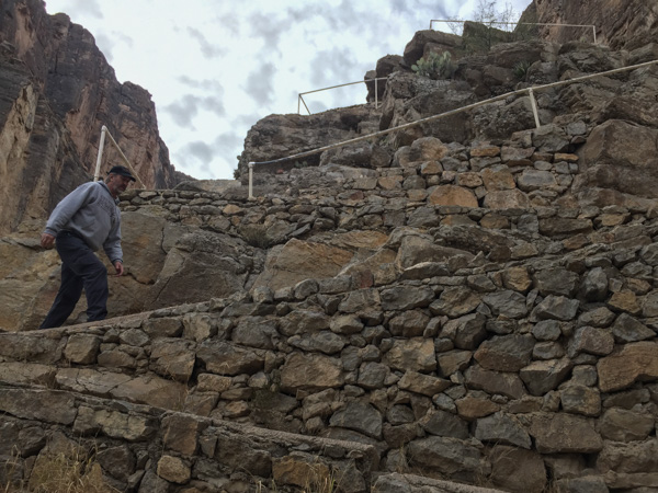
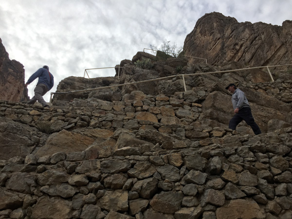
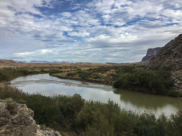 The view looking back from the stairs.
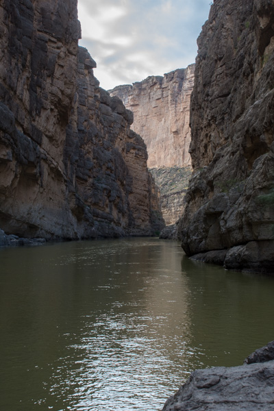
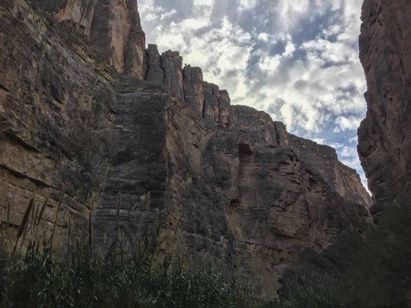
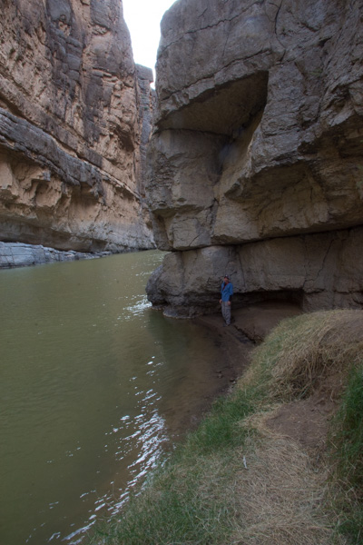 The trail ends where the cliff walls go right to the water.
 At some points the cliffs rise 1500' from the water.
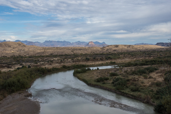 Coming back out of the canyon. In this view of the Rio Grande, Mexico is on the right. In the photos walking up the canyon, it is U.S. on the right and Mexico on the left.
I usually avoid politics in my blog (and would like to avoid politics in life) but I have to make a statement here. We spent the whole day exploring this park and the next couple of days driving in the same desert landscape. I don't have the answers to immigration issues but a WALL? Where are you putting that Wall? Look at these photos. Social issues set aside, can you imagine the environmental consequences of building the proposed Wall? I only hope we can get through the next few years without the permanent loss and/or destruction of the remaining wild places that are left in our country.
Stepping down now...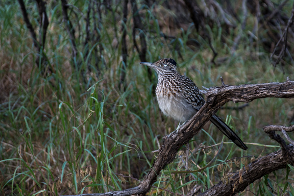 Roadrunner seen near the parking lot. We left Santa Elena Canyon and continued on a loop road that traverses the western edge of the park.
 We stopped at Luna's Jacal (Jacal: "a hut in Mexico and southwestern U.S. with a thatched roof and walls made of upright poles or sticks covered and chinked with mud or clay"), where Gilberto Luna raised "a large family"...
 ...and later when I spotted ocotillo that looked as though they had recently bloomed.
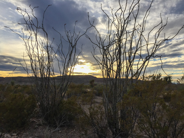 There were remnants of the red blossoms that grow at the end of the branches when there is moisture. Same with the leaves that cover the stalks for a few weeks after rainfall.
 We weren't able to find an open campsite to reserve, at least according to the person working the computer at the last visitor center (whom we had reason to doubt, but what could we do?)...
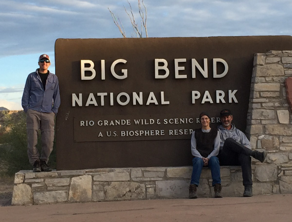 ...so we ended our day at Big Bend and drove on to finding somewhere else to camp for the Next Adventure.