Road Trip to SD - Day 3 - Devils Tower
After a morning spent touring Mountain Meadow Wool we headed east toward Devils Tower National Monument. 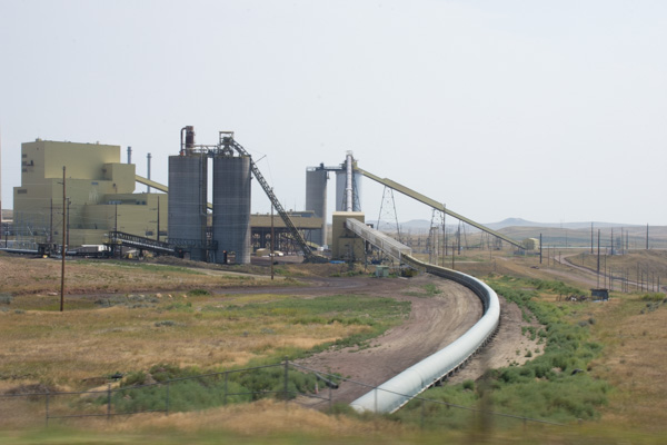
This is part of a coal facility near the town of Gillette, home to 12 coal mines which provide 1/10 of the jobs in the area. Up to 100 trains loaded with coal leave the town every day. We noticed that the sky over much of our trip was not as blue as we expected and that is evident in my photos. I am used to the Sacramento Valley haze in the summer, a result of dust, smoke from wildfires, and probably smog, but I didn't expect this in Wyoming. I wonder if these hazy skies are from all the coal mines.
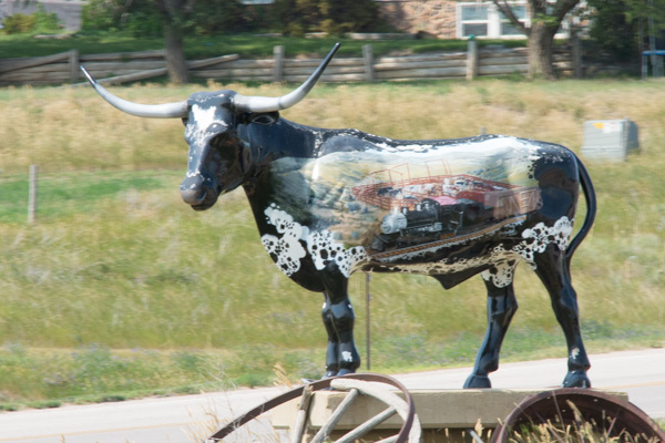
Artwork seem when driving through one of the towns.
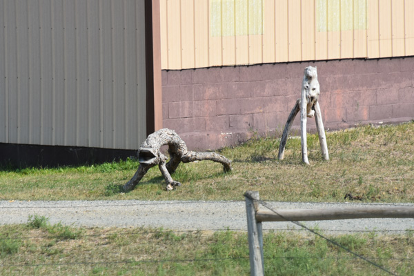
I wouldn't call this artwork, but someone has a sense of humor. Am I the only one that sees these logs as weird animals?
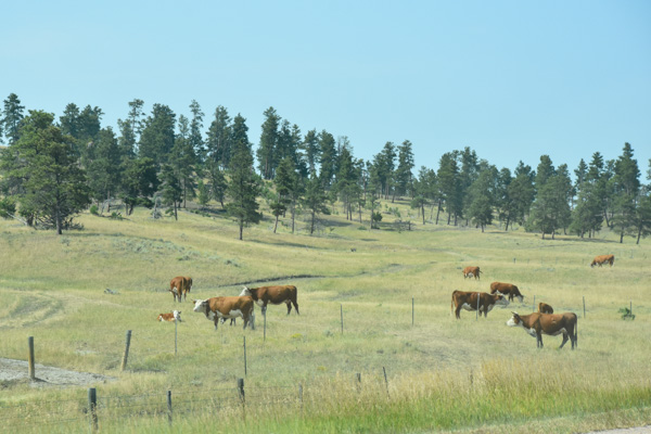
As expected there were lots of cattle. This is north of the town of Moorcroft, where we turned off of I-90 to head north to Devils Tower.
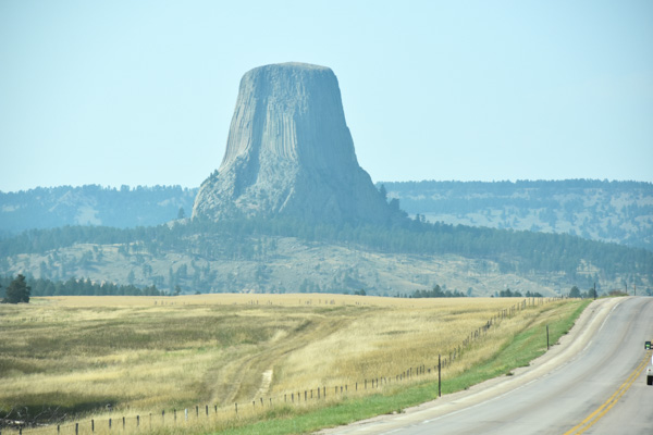
First view of Devils Tower. The Tower rises 867 feet from the base and 1267 feet above the Belle Fourche River. The diameter at the base is 1000 feet and the area on top is 1-1/2 acre.
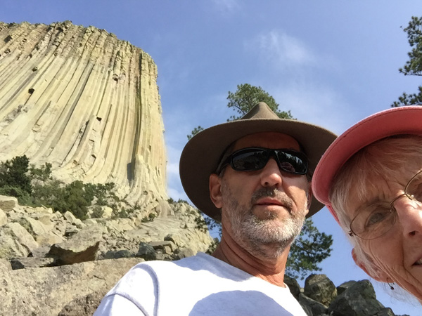
There is a trail all the way around the Tower and it looks different on each "side".
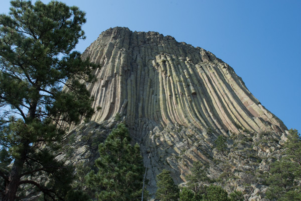
This is looking at its southeast face. Do you see the column that is much shorter and tipped a bit just inside the part that is in shadow and that looks like it is just above the tree in the photo? Then do you see the column that rises up about twice as high as the shorter broken one?
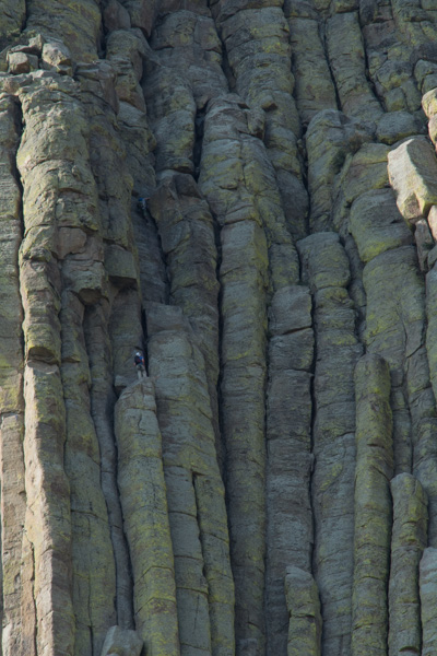
This is a close-up of that taller column. There is a climber! Look above the next column over (about an inch on my screen). That gives you some perspective about the size of this huge rock.
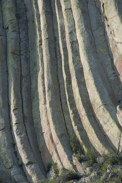
This is a detail of the outer third of the Tower from that first photo (where, due to camera perspective, it looks more tipped than it really is).
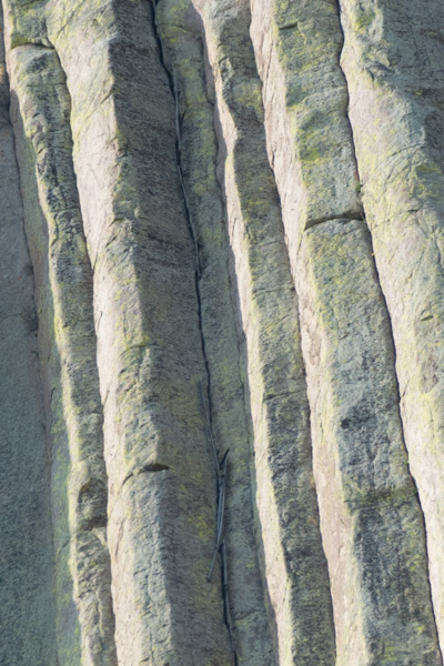
Tisis a closer view of the middle of the photo above. Those things that look like sticks? Those are the outer edge of a ladder that was used to get up the first 350 feet in the 1890's. The ladder is anchored in the crack between the columns. Can you imagine? The lower part has since been removed and some of the upper restored by the Park Service in the 1970s.
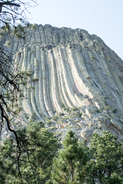
This is another view that includes the area of those close-ups just to give some perspective.
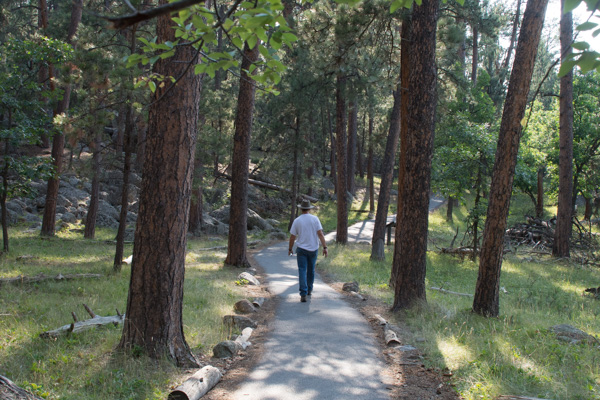
The trail around the Tower is paved the whole way to accommodate the thousands of visitors that come each year. Hot in the sun, it was very pleasant under the canopy of trees.
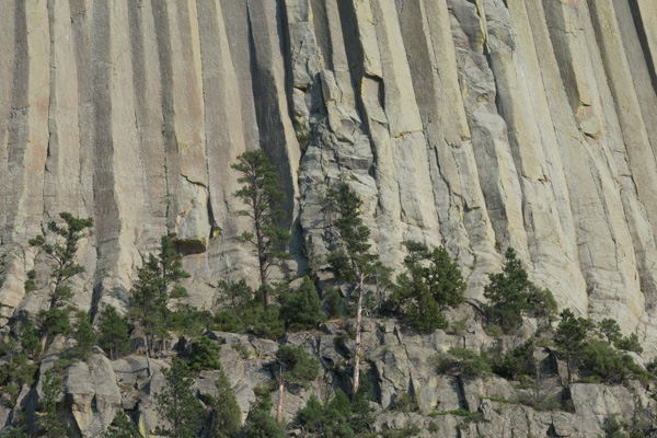
Speaking of trees, these are pretty substantial trees at the base of the cliffs. Another measure of perspective.
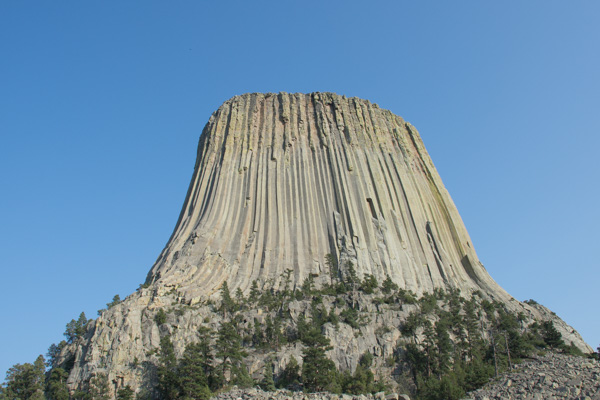
Look at those trees in this view.
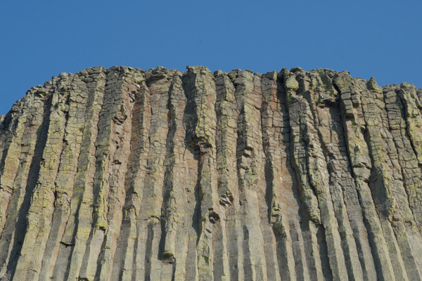
There were beautiful colors and patterns in the rock.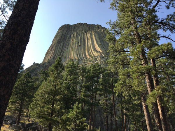
We were at the Tower for about two hours or so. Before leaving the National Monument we had to stop at the prairie dog town.
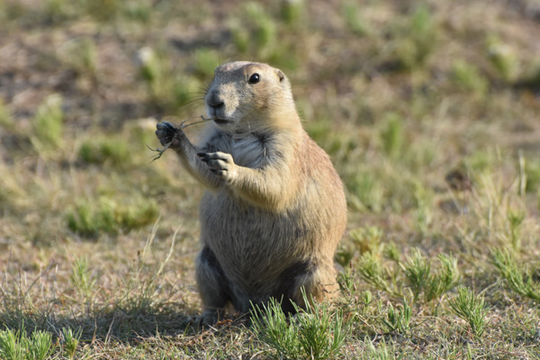
These are certainly well-fed prairie dogs.
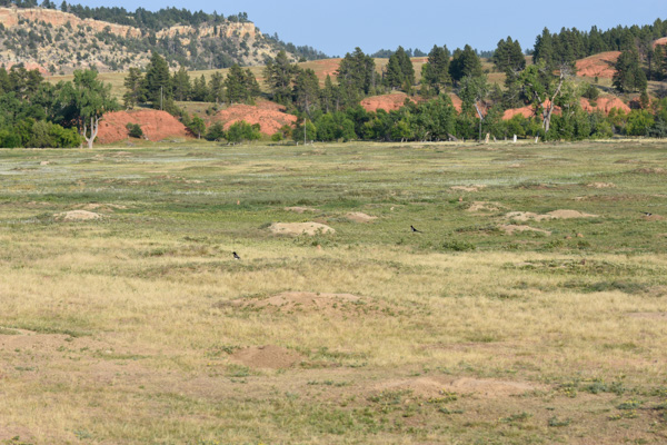
But I didn't realize the damage that they do to the landscape. There are prairie dog mounds throughout this photo. I have some very severe photos to share later on in these blogs.
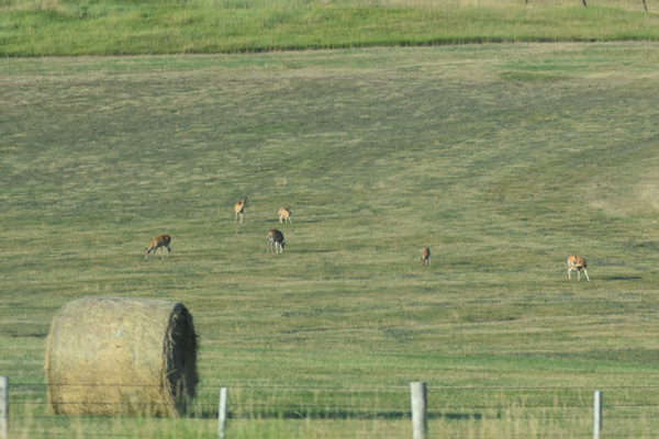
We drove north and then east from the Monument...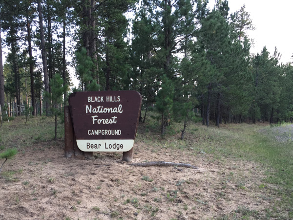
...and found a campground in the Bear Lodge Mountains, part of the Black Hills National Forest. Again, we needn't have worried about the campground being over-run by motorcycles from Sturgis. Maybe the riders are not big campers. There was only one other person in this campground.
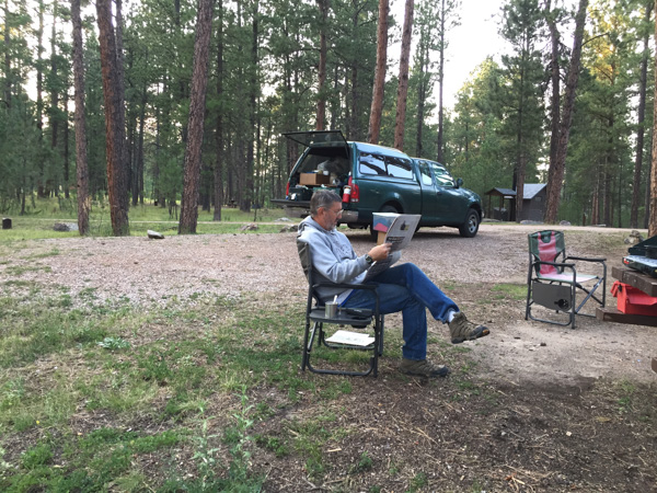
This is a rare scene--not Dan reading a newspaper--but that we actually had time to relax and enjoy the evening in camp. Point #1: we got there early enough that there was still evening left before we needed to eat or get to sleep. Point #2: There were NO mosquitoes, it wan't cold, and there was no rain. So Dan read his newspaper and I read The Shepherd's Life by James Rebanks. I found that some of the author's points resonated with me on this trip. More about that later. 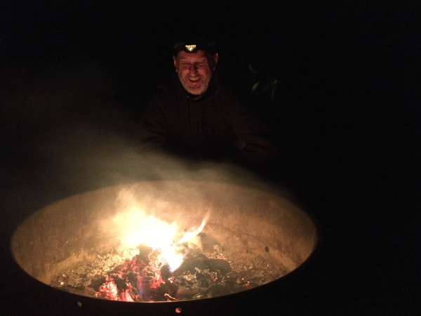
An after-dinner fire. This reminds me of the disembodied head of Oz.