MJ Adventure Team Goes to MD - Day 7 Continued - The End
That last post was really long but I have so many photos that I wanted to include. The day wasn't over when we left Assateague Island. We had a mission ahead of us. 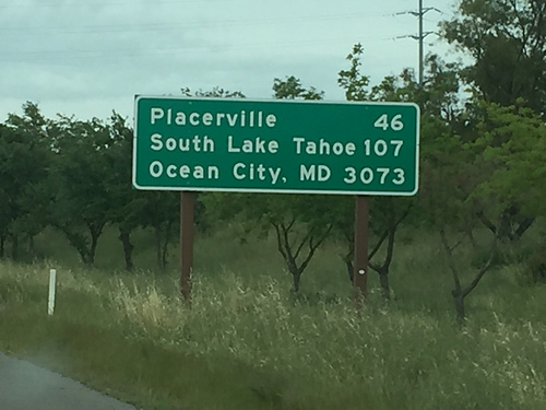
Dona took this photo before we left California. You pass this sign on Highway 50 entering Sacramento from the west. We figured that if there was a sign for Maryland at this end of Highway 50 then there would be a sign at the other end too, so we drove to Ocean City.
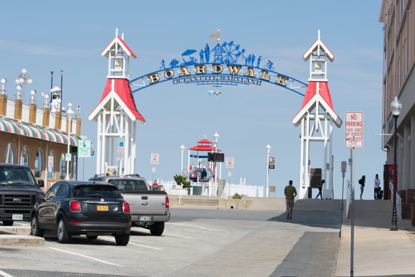
We parked and started walking to find our sign. The beach and the Atlantic Ocean are just past the Boardwalk, so we have to go the other direction.
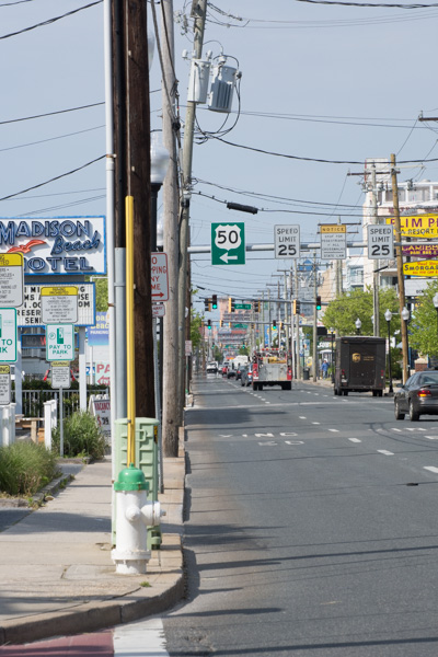
We were on the right track. We hadn't seen any sign coming into town, but it didn't take us too long to realize that we'd been facing the wrong direction to notice a sign meant for west-bound travelers.
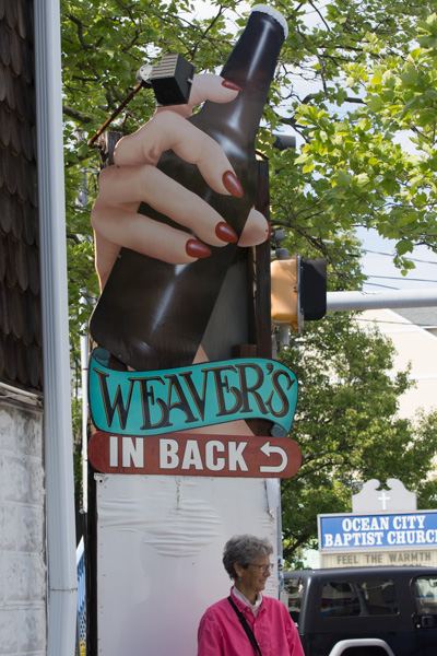
A sign of interest, but not the one we were looking for.
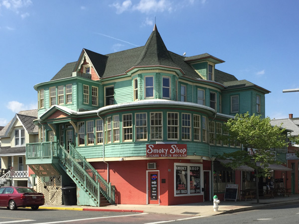
A gorgeous old building.
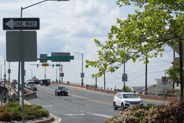
We found it!
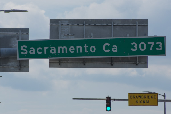
Mission accomplished.
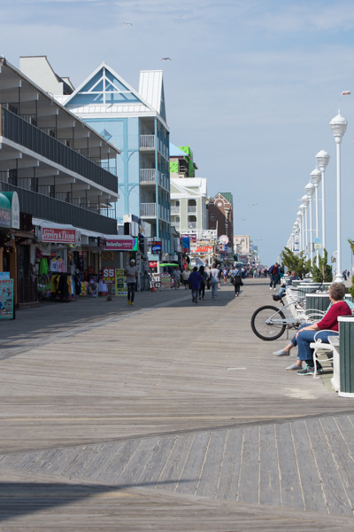
We still had time in the parking meter so walked back to the Boardwalk. Do you remember the photo in the last post of this area 10 miles to the north of the Assateague National Seashore? What a far cry from the beach and the dunes. The beach here is just to the right of those light poles.
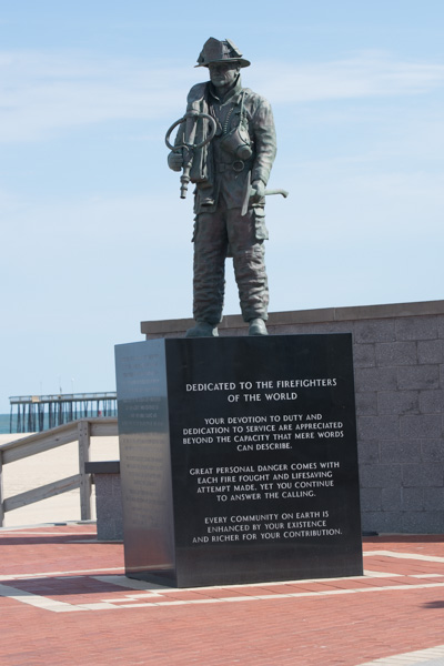
We stopped at a memorial to fire fighters...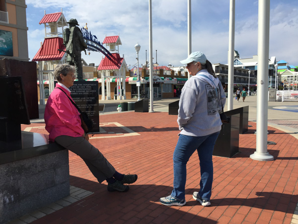
...and reflected on the world. Then it was time for ice cream.
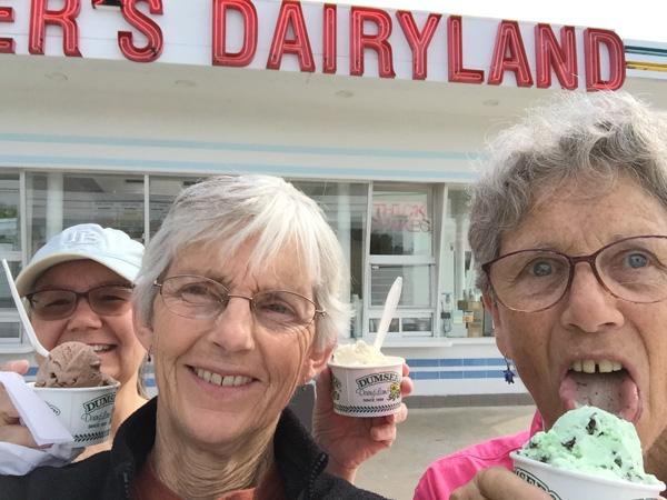
We found Dumser's Dairyland. It was late in the day and we didn't need to eat another meal out. We had plenty of food to use up back at the house because we weren't going to be able to take it with us. But before heading to the house we drove a few miles south to the town of Snow Hill. Kathleen had heard that it was an interesting place to see. Snow Hill was founded in 1642 (you can't say that on the West Coast) on the Pocomoke River. Although there was a disastrous fire in 1893 there are still pre-Revolutionary War structures in the town. We did not search out the various buildings but did a random, meandering tour through the old part of town and I found references to some of the ones I photographed later.
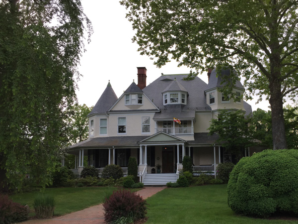
The Governor John Walter Smith House, a Queen Anne Victorian, built about 1889.
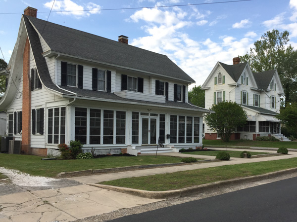
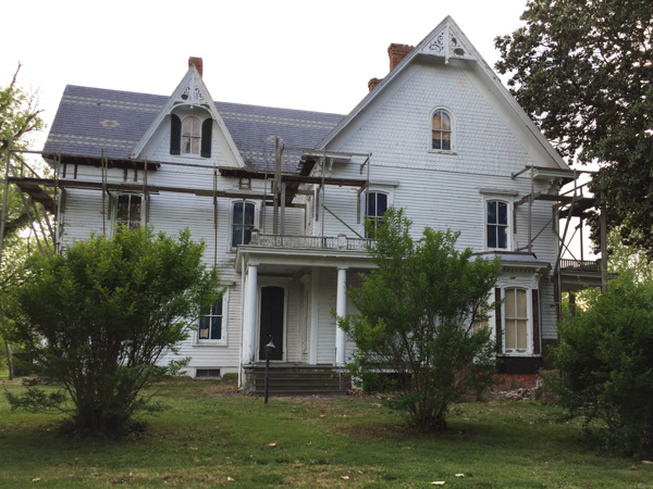
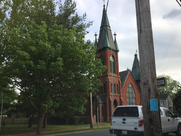
United Presbyterian Church, build in 1889.
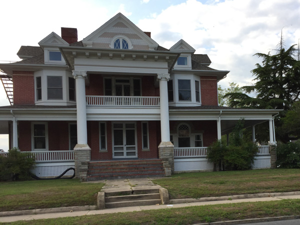
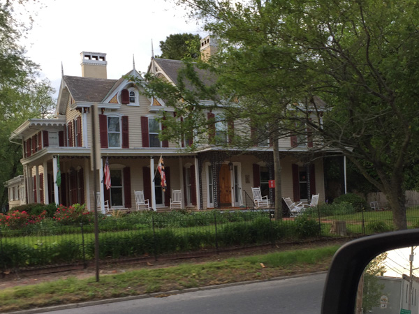
River House Inn, built in the 1860's.
That was it for adventure. Back to our house, clean up, pack up, and get ready to leave for home in the morning.
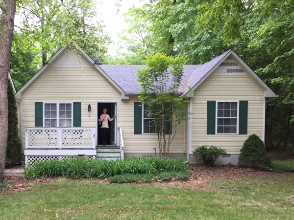
This is the house were we stayed the last couple of nights in Maryland.
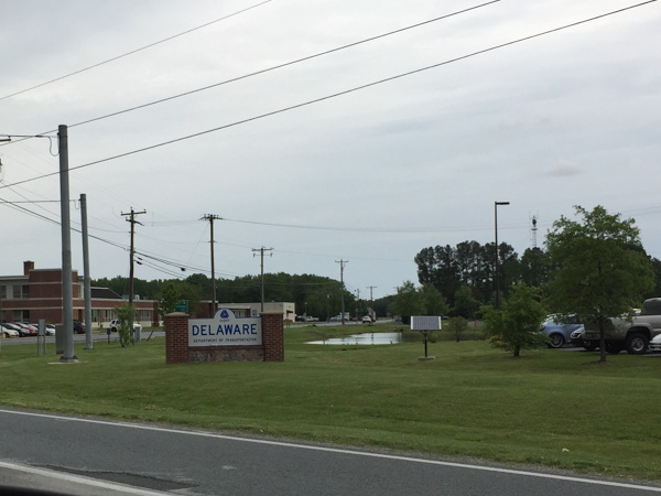
We got on the road and I was navigating. Oops! Delaware? Right, I hadn't paid attention that we'd be entering another state. I don't think you get to count it as a visit unless you actually get out of the car though.
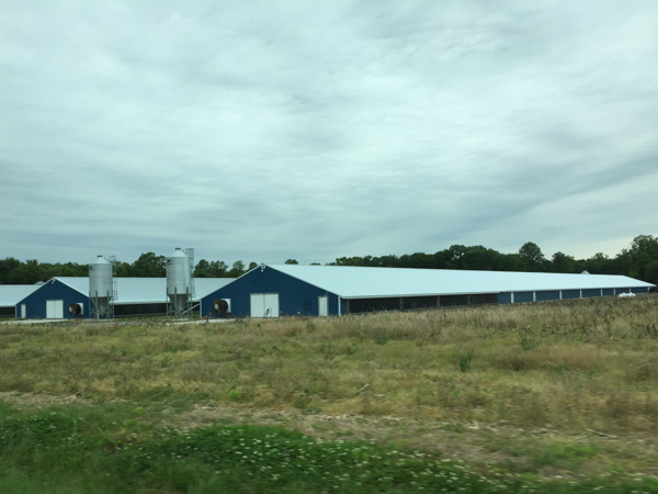
The rest of this is rather anti-climactic after this fabulous trip. Just photos taken while driving riding. Beautiful rural countryside.
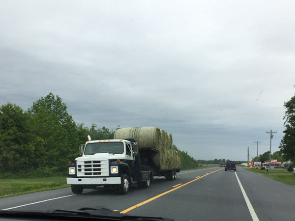
Big round bales. You don't see those around here.
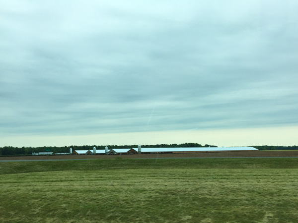
More big barns.
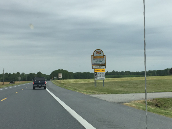
There's a Maryland sign that I don't think I got when entering the first time...at least not from the plane.
That's it. Back to California. We had an adventure to be remembered for a long time. We didn't do any one thing that was all that adventurous, but Actually Doing It was the important thing. And spending this time with each other was a treasure.